News
Serpentine trail 17th and 24th March
Posted by: Tim 5 years, 1 month ago
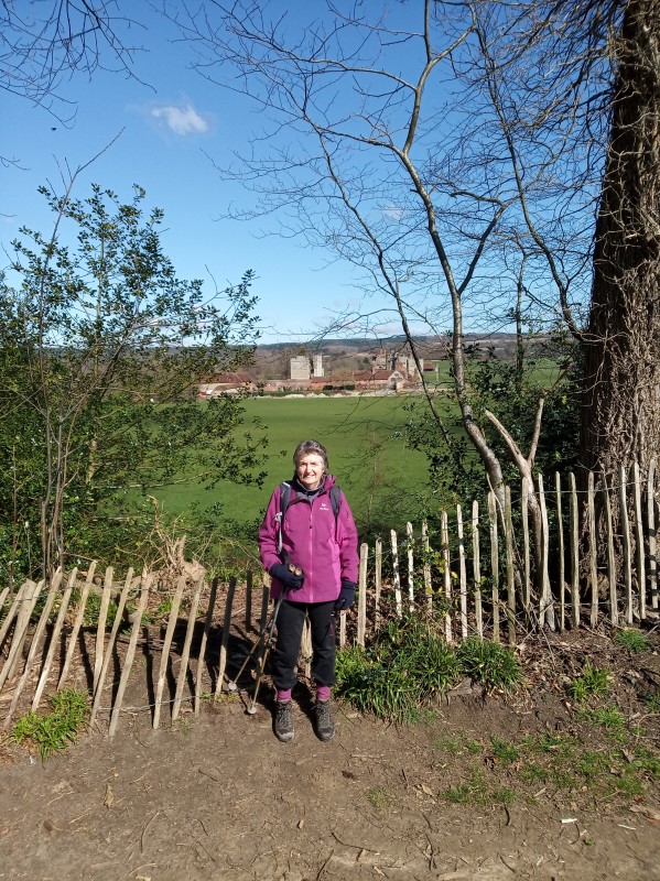
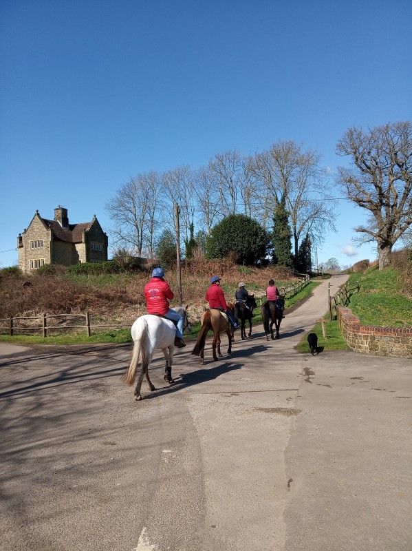
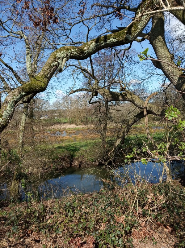
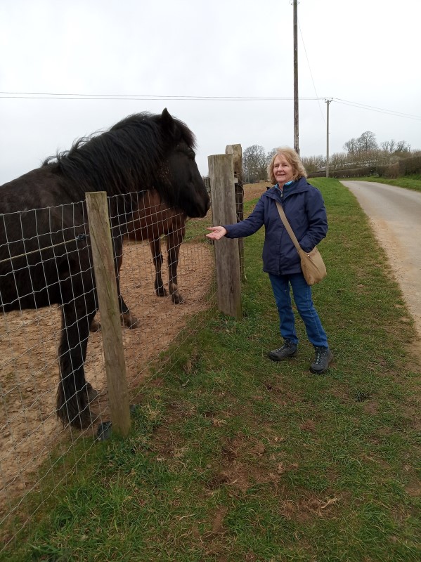
Barbara and Janet’s recent two walks have followed the Serpent Trail, First walk through Tullecombe and Fyning Estate, and the second walk in and around Rondle wood. Both about 4.5 miles.
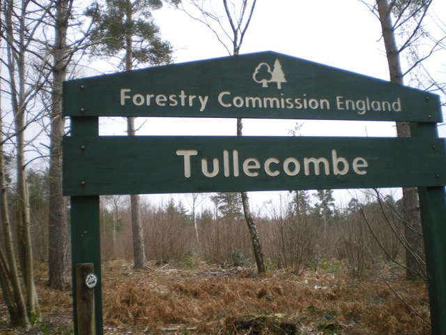
Start of the first walk
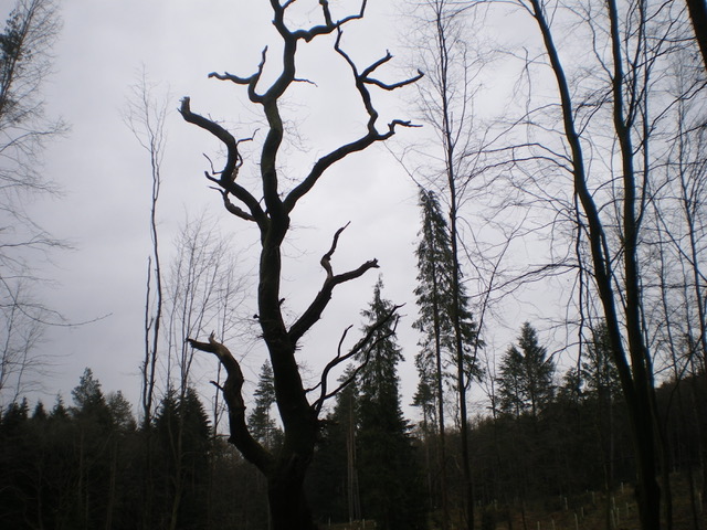
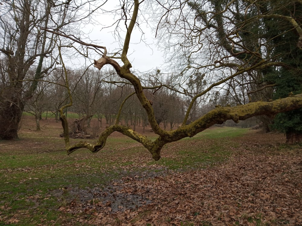
Spooky tree
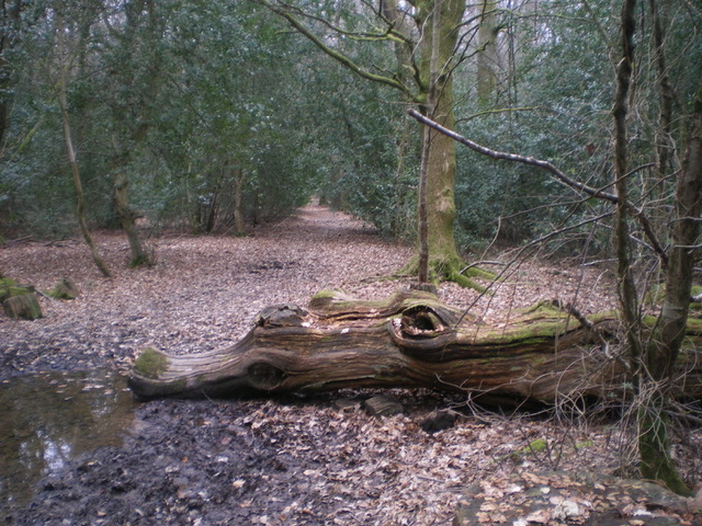
Shush don’t wake the crocodile
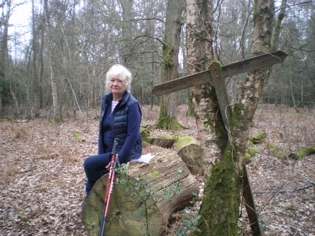
First wood nymph
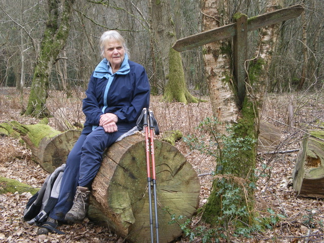
Second wood nymph
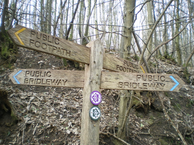
Start of second walk, which way shall we go?
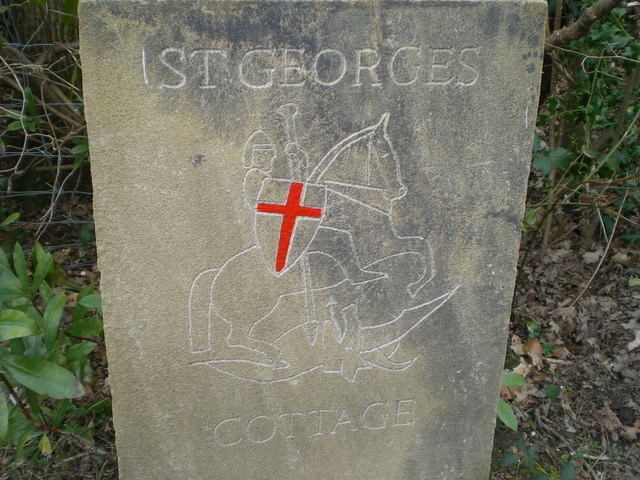
Unusual house sign

Banksy was here.
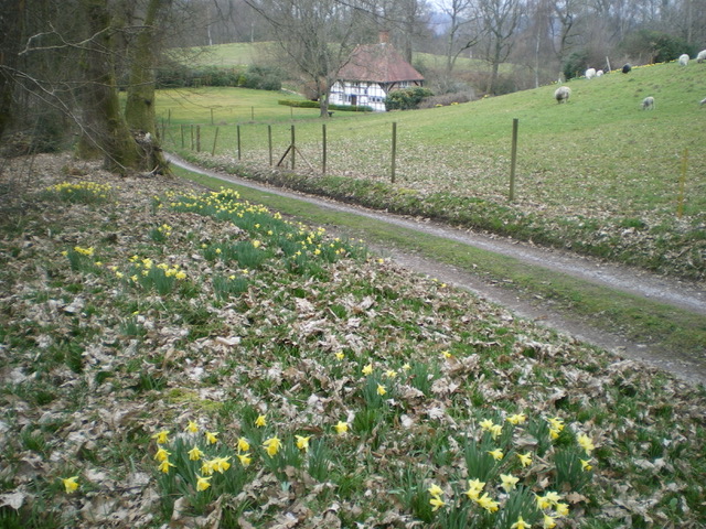
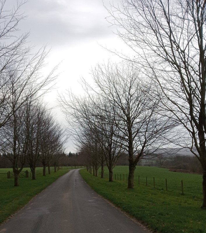
Idyllic spring scene.
Free again - well almost
Posted by: Tim 5 years, 1 month ago
We can walk again together!
Starting from 29th March 2021.
Contact your bubble co-ordinator for details.
Friday 19th March Marian & Jennifer anti-clockwise
Posted by: Tim 5 years, 1 month ago
Marian and Jennifer repeated the Wednesday walk, but the other way round.
Hi Jennifer!
Taking the easy way
River Rother .
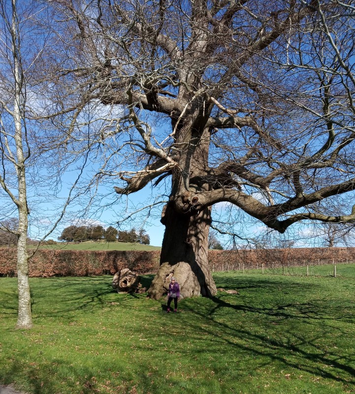
There's that tree that shrinks people!
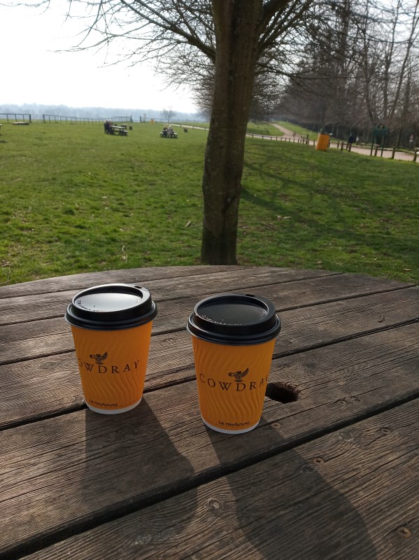
Wednesday 17th March Marian & Linda clockwise
Posted by: Tim 5 years, 1 month ago
A circular walk to the east of Easeborne.
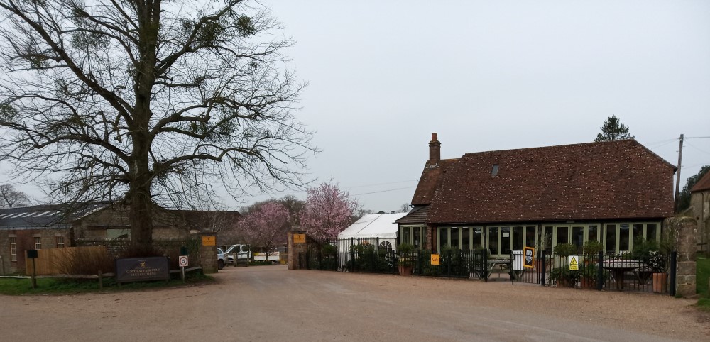
A popular start point
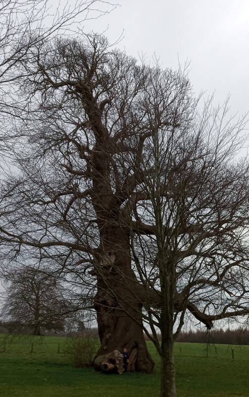
Is that a pixie hiding in the tree?
Road to Moor Farm, Cowdray Park
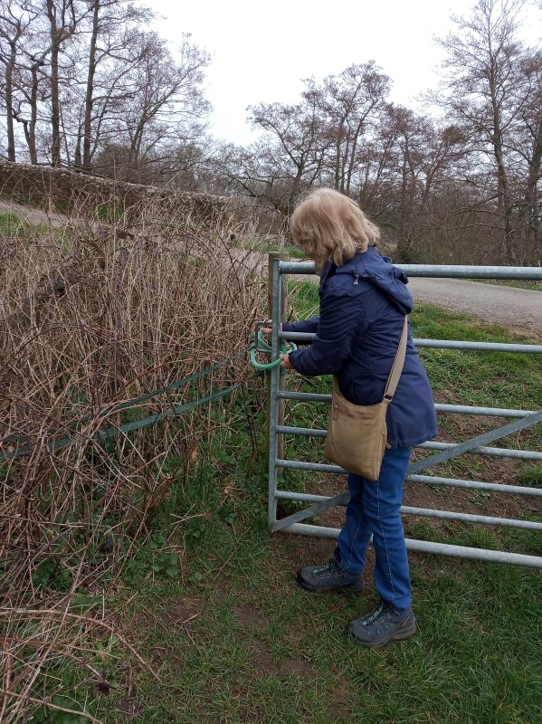
Another gate knotted
Heading for the Kennels.
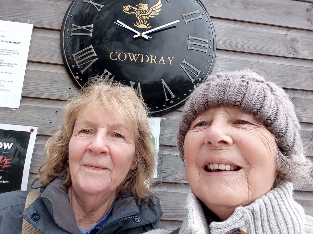
and back for a coffee!
Benbow Pond 8th March
Posted by: Tim 5 years, 2 months ago
Marian and Linda had a pleasant walk across the golf course to Benbow Pond. Luckily for walkers, golf is still closed.

Looks like the polo grounds again.
Golf course?
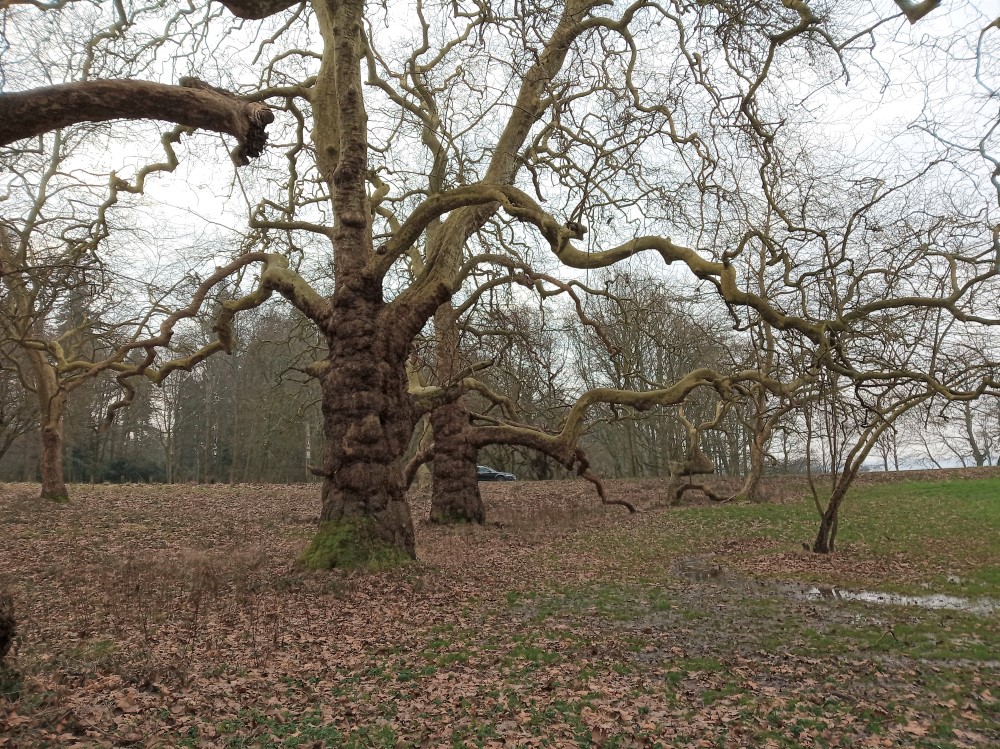
Old chestnuts
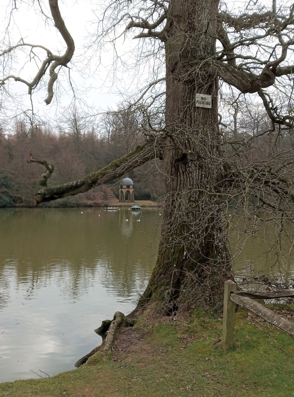
Benbow. Memorial Temple erected in 2000, in memory of the late Viscount Cowdray III
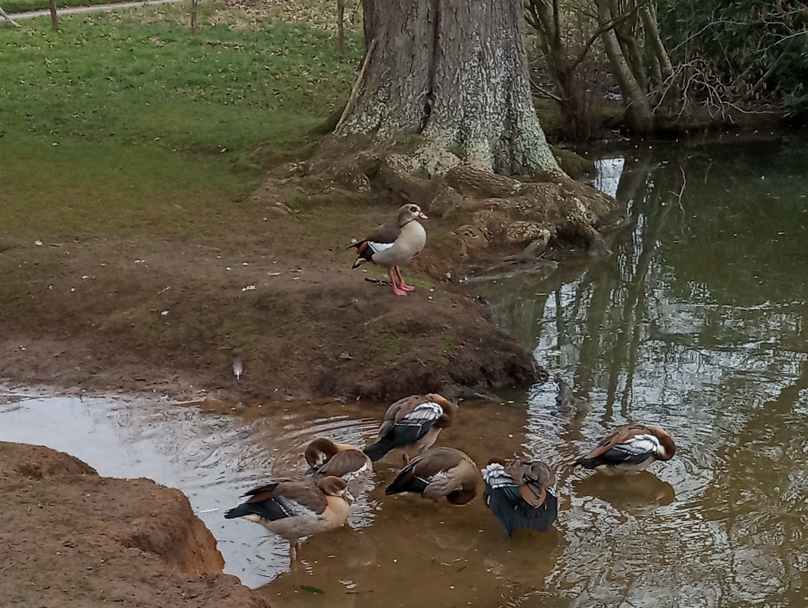
You lot have a wash, I'll keep a look-out.
Ah, that's better.
Recent Posts
- Pauline Dey
- Watato Christmas Fair
- Watato Christmas Fair 5th and 6th November 2024
- Viewing the Gallery walk reports
- Christmas Fair at Ditcham Park 7th and 8th November 2023
Archive
2026
- May (1)
2025
- September (1)
2024
- October (1)
2023
2022
2021
2020
2019
2018
2017
2016
Authors
- Tim (193)