Walderton walk on 25th May 2022
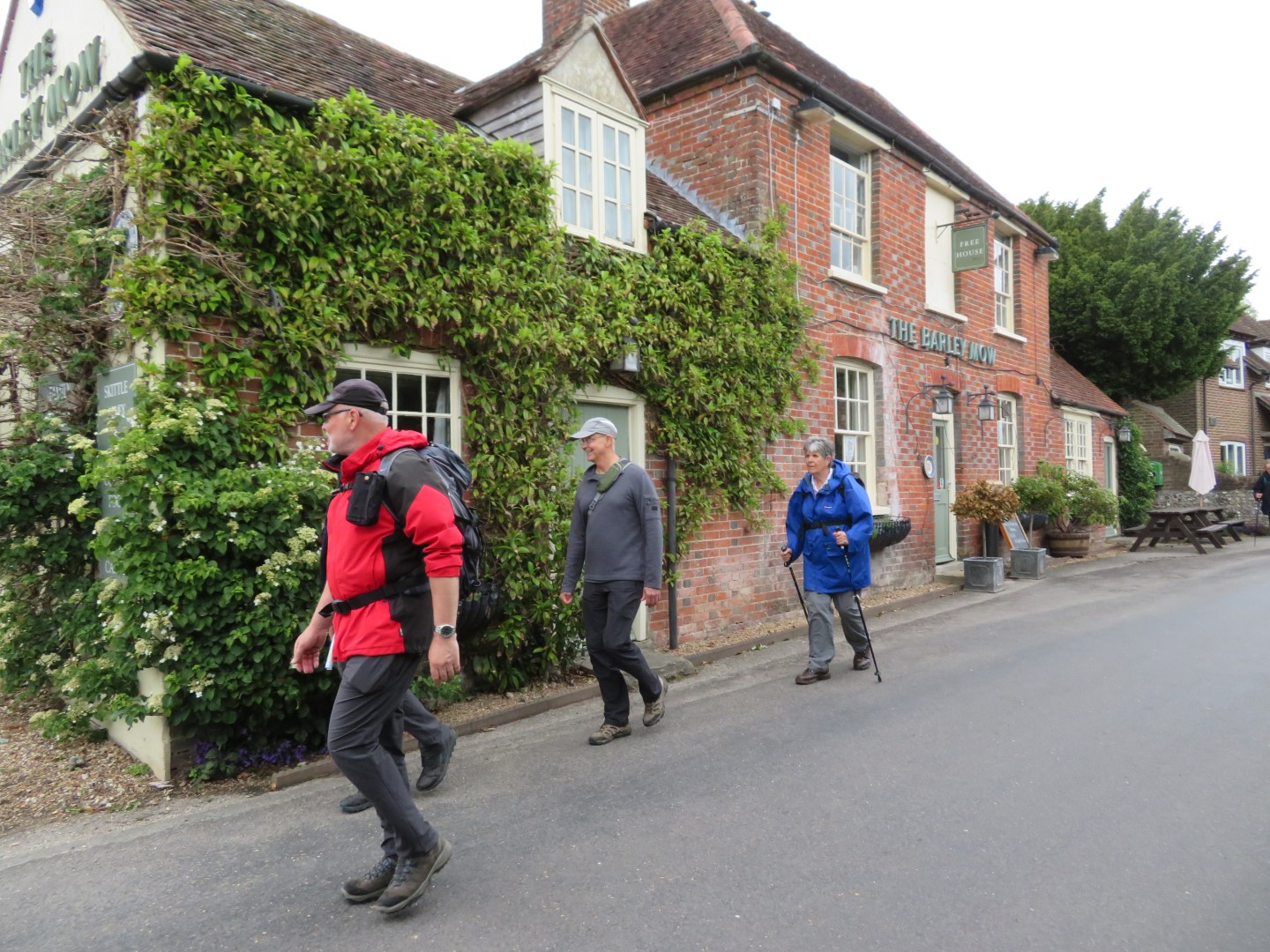
Bernard and Celina's walk started at The Barley Mow, Walderton and headed up Woodlands Lane on a newly tarmacked road that the Council finished in time for our walk. The bridleway followed the edge of Watergate Hanger and a lush wheat field, before turning east, descending the Hanger and through Watergate. No sign of Nixon or intrepid journalists, but some white guinea fowl made up for it. Drizzle and wind guided our decision to stop for our coffee break at a memorial table and benches with views over Walderton to contemplate our lunch. From there we walked through Woodbarn wood and Inholmes Wood before joining the Monarch Way to Stoughton in the footsteps of King Charles II as he fled Parliamentarian troops and escaped to France in 1651. As we made excellent time, we took time to visit the largely complete 11 th Century Norman church, St Mary’s at Stoughton and a Giles Gilbert Scott 1935 design, red telephone box still with a telephone in it. In order to burn off some calories and make room for lunch we took a short detour up the other side of the valley up into Walderton Hill Plantation before a grateful return to the hostelry that fed and watered us handsomely.
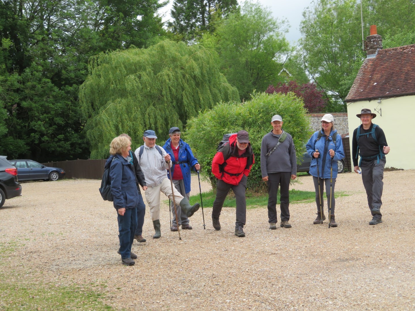
Some were very eager to get started
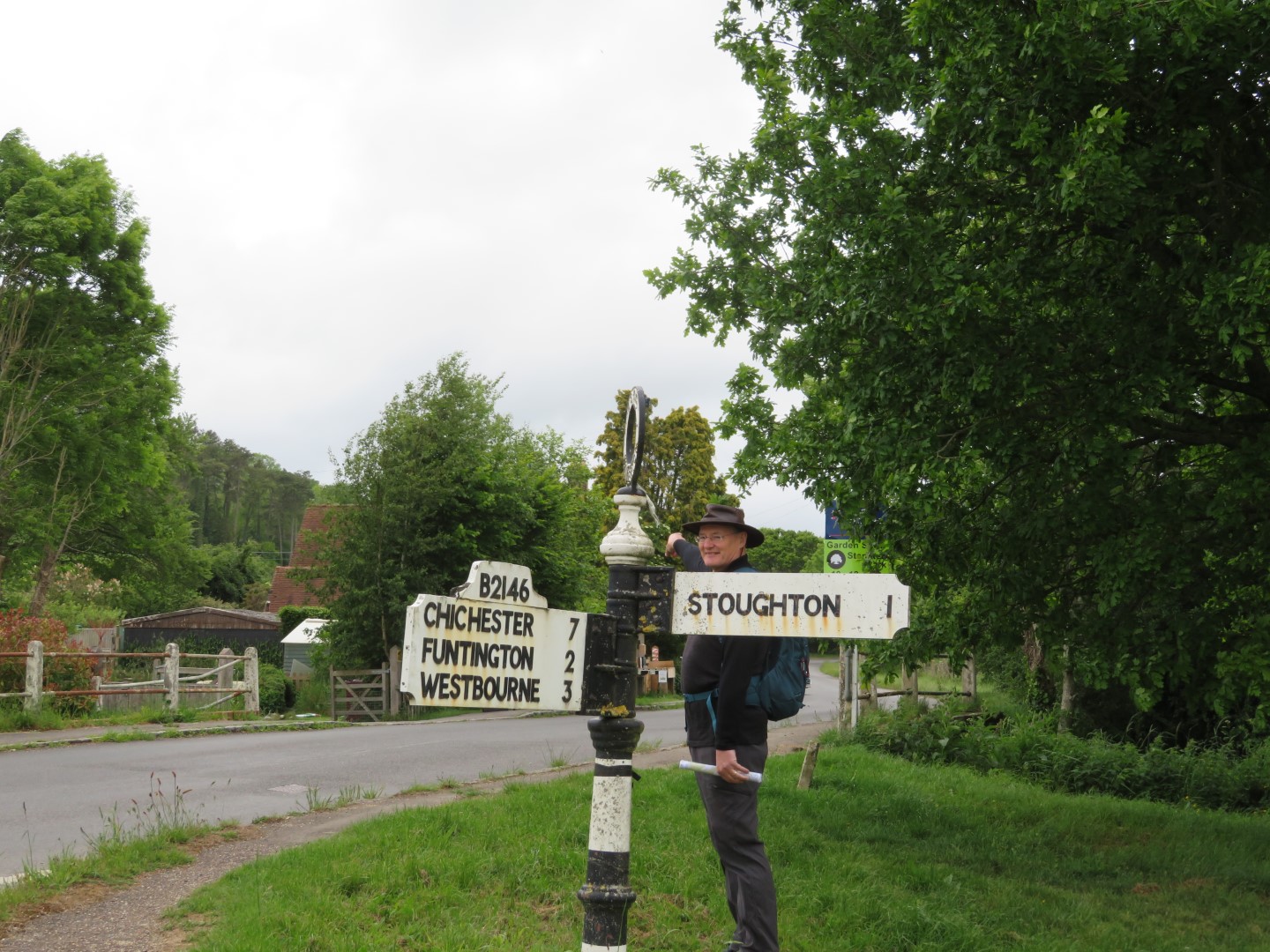
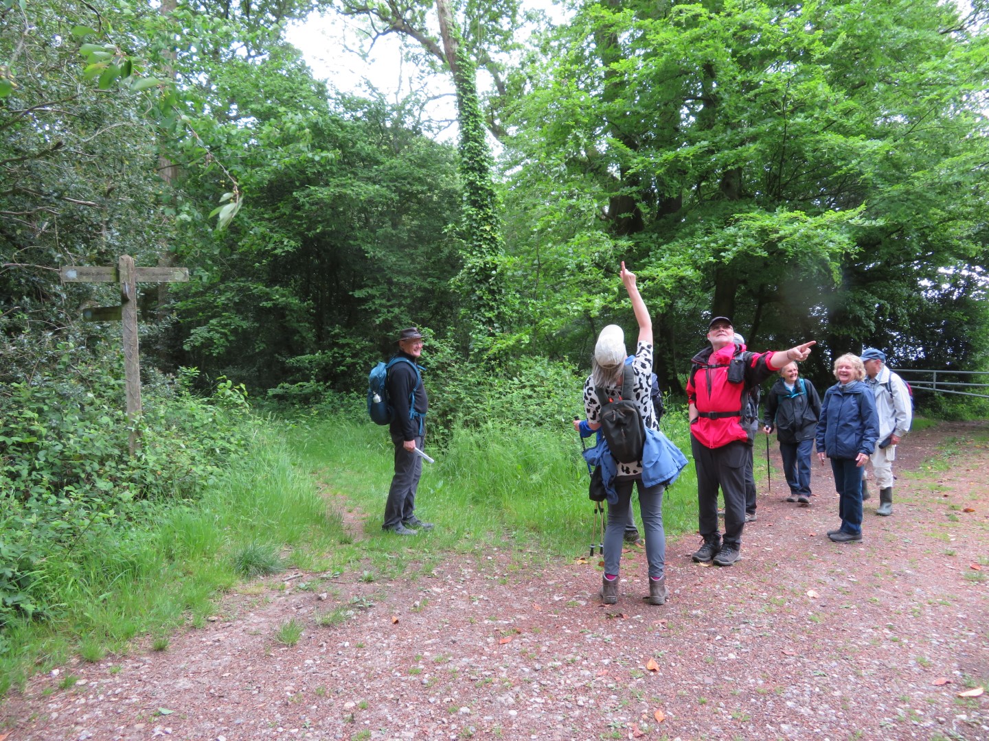
This is the way to go, says walk leader
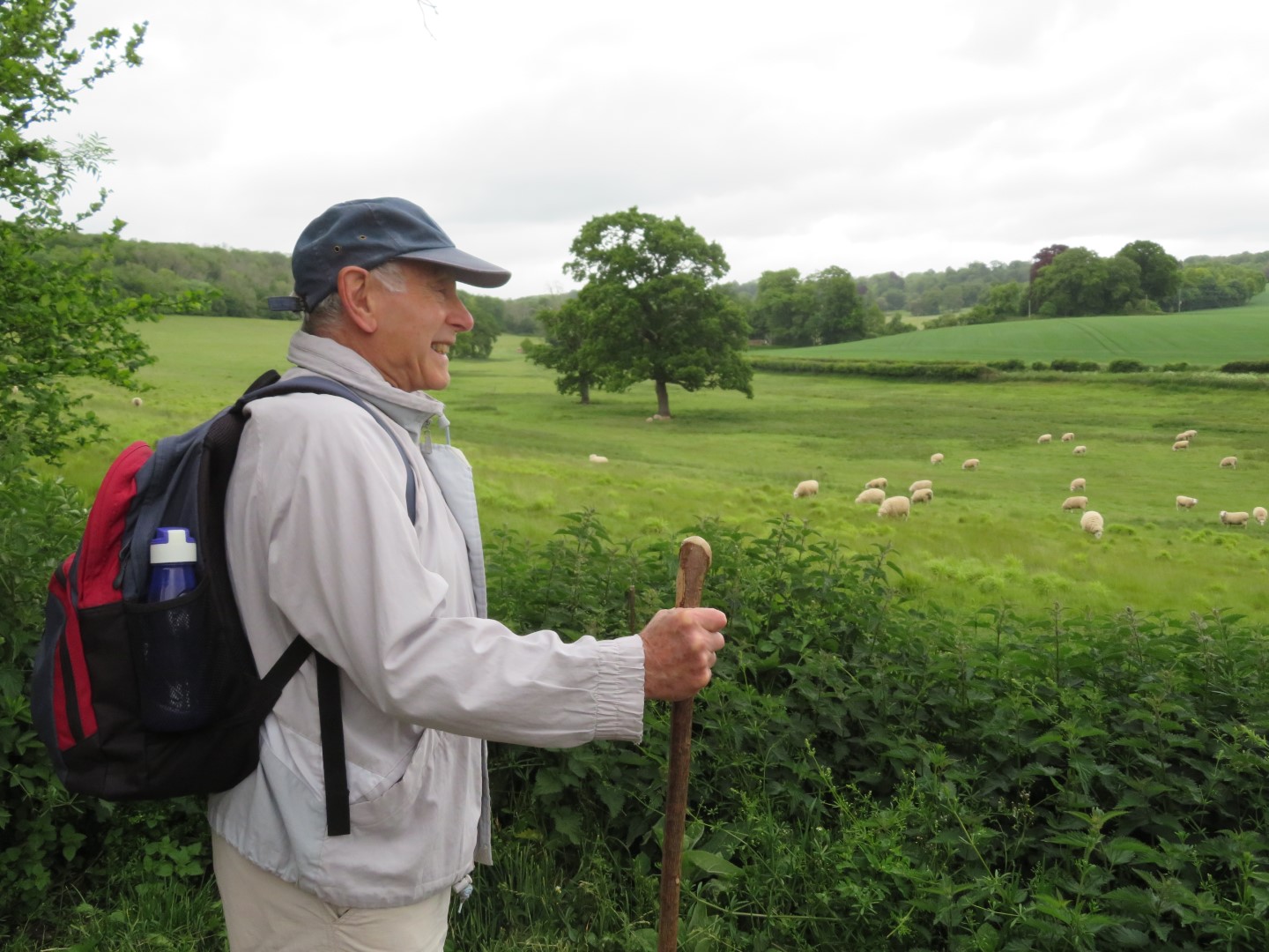
A bucolic scene, all we need is a sheepdog
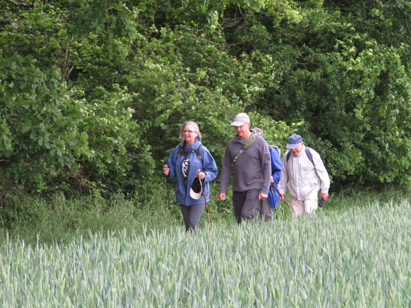
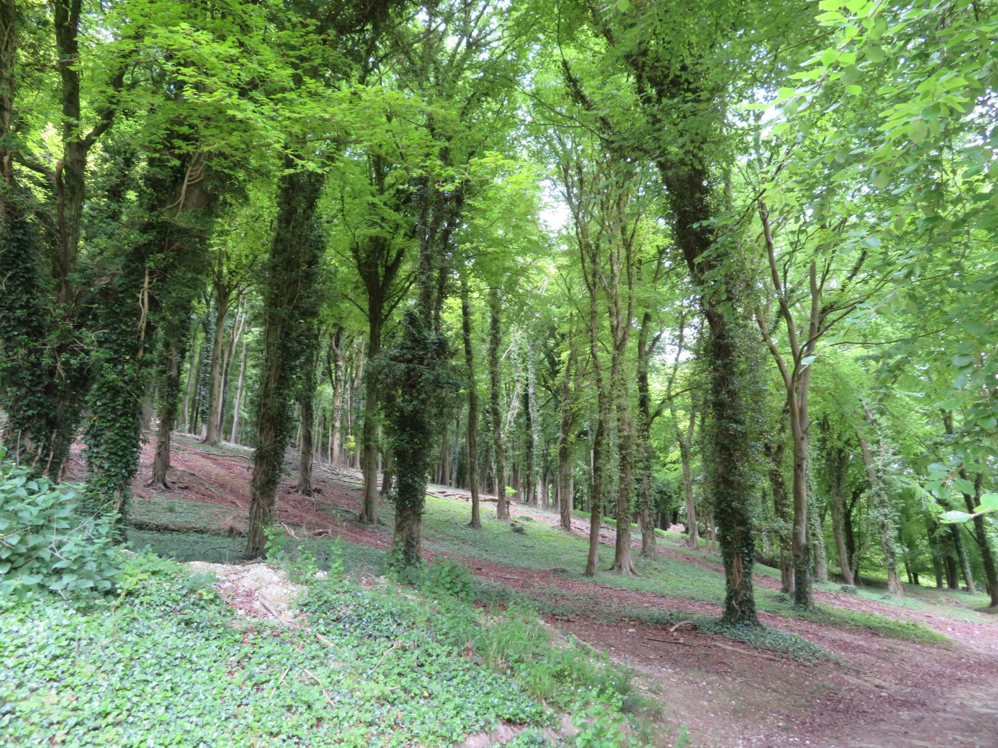
Strolling the field above the Watergate Hanger
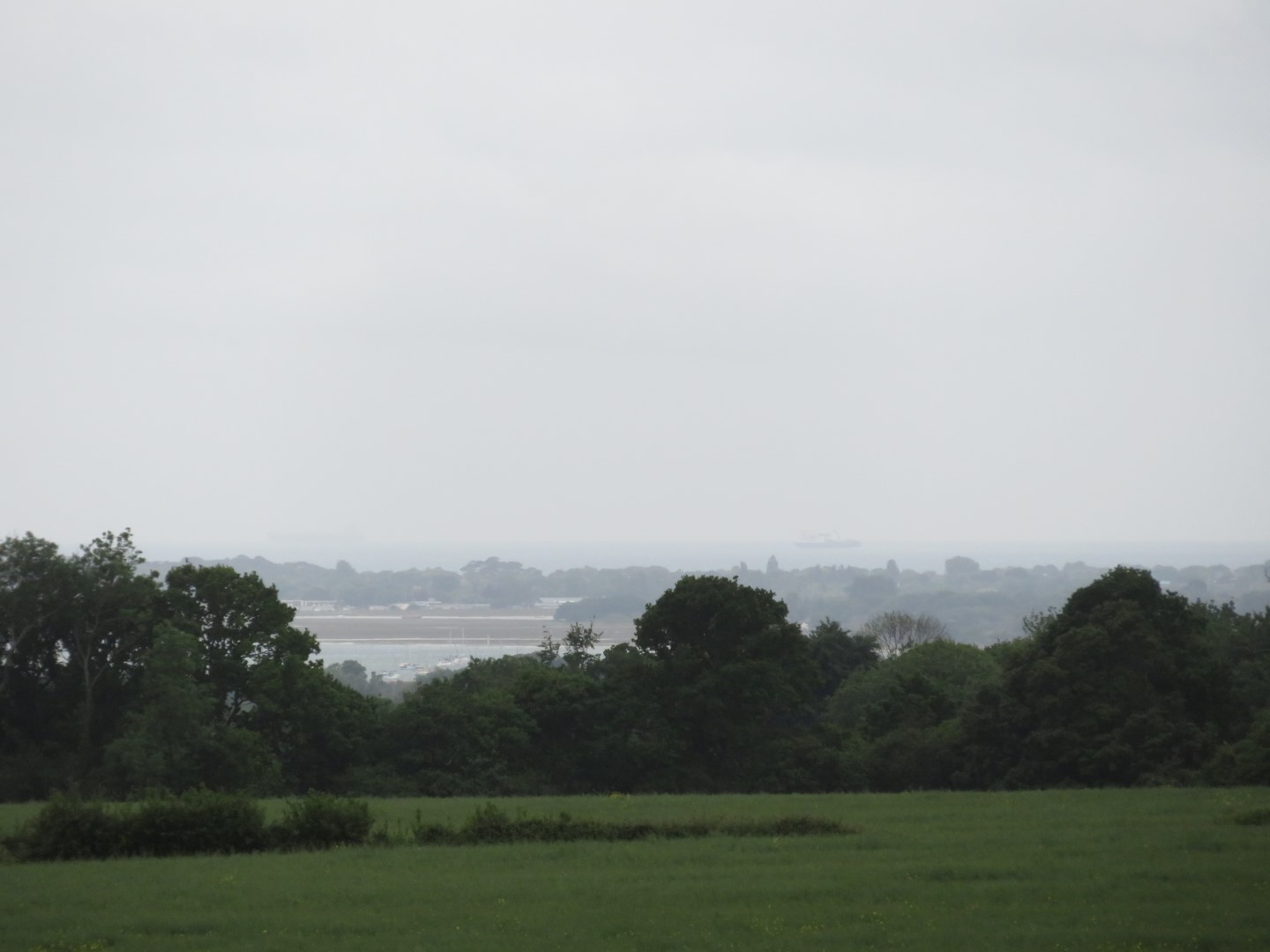
A distant view of the sea
Luckily they're not doing the walk leading today
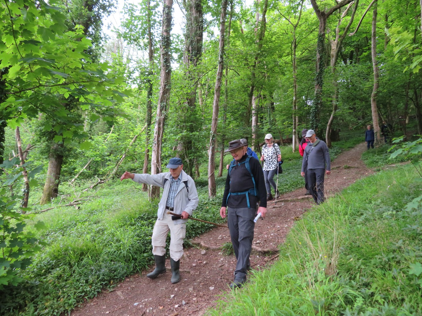
Descending Watergate Hanger
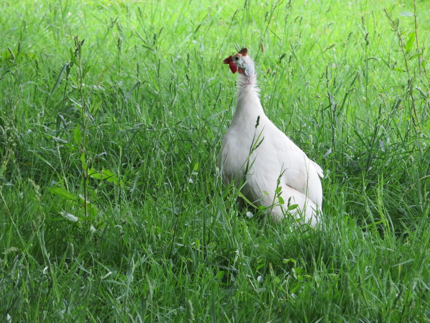
No President Nixon at Watergate House, just a white guinea fowl,
.jpg)
Climbing up towards Piglegged Row
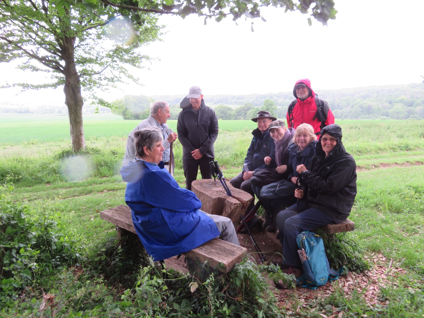
Maybe it rained a little
.jpg)
View over Walderton of the distant sea
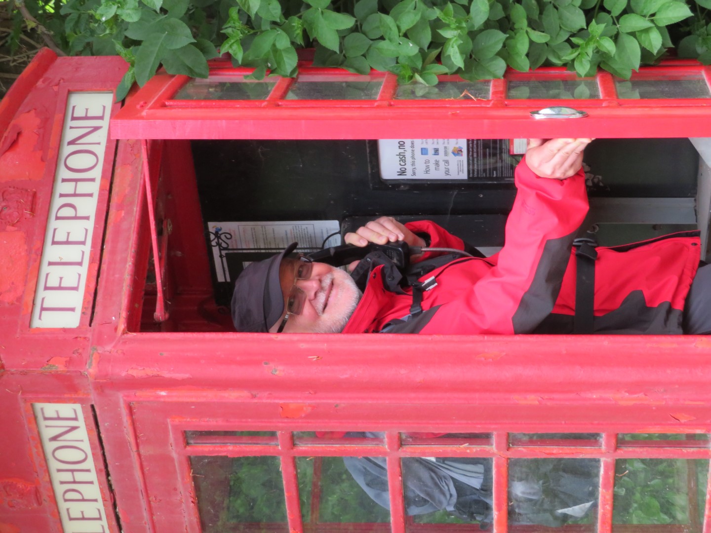
"Hello - any chance of a cab?"
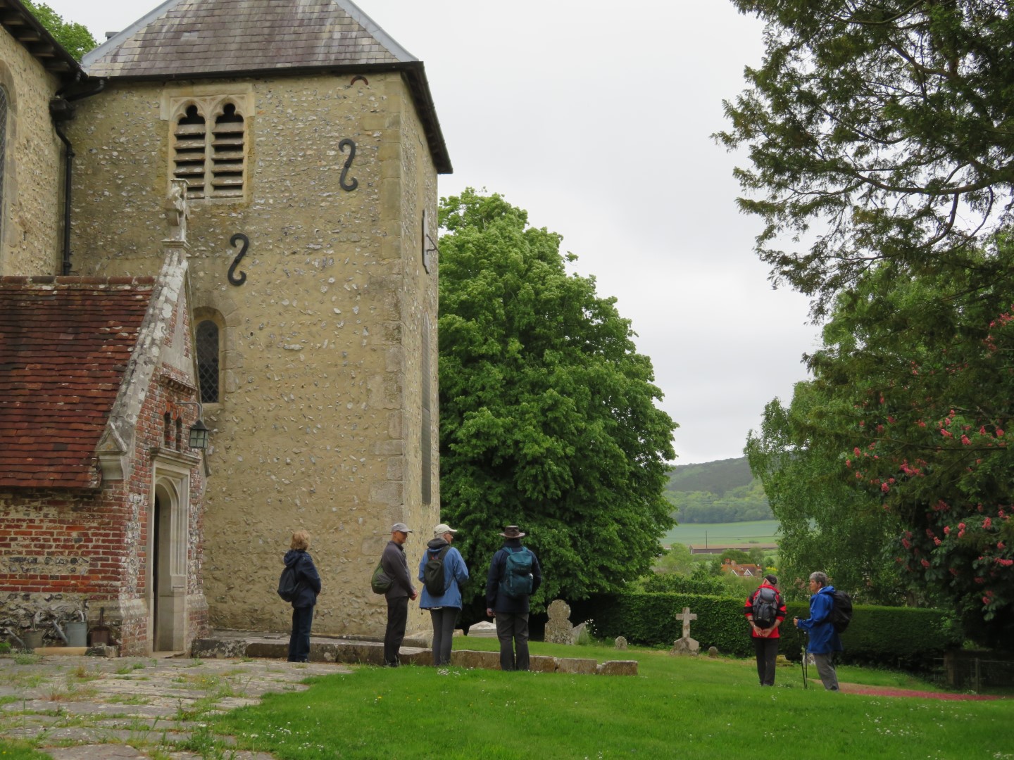
St Mary's Church at Stoughton. Has 6 bells. No safe parking near the church due to the unmarked graves and vaults, otherwise your visit may be longer than intended.
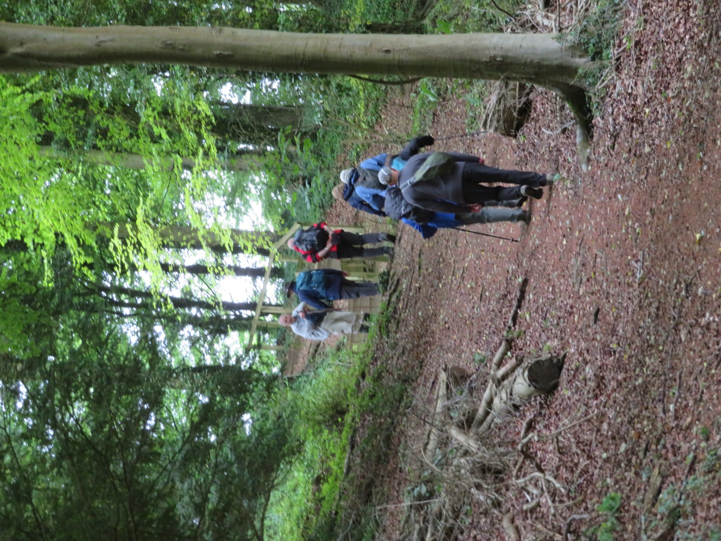
The energetic walkers needed another hill before lunch
Walderton Down
Back at last
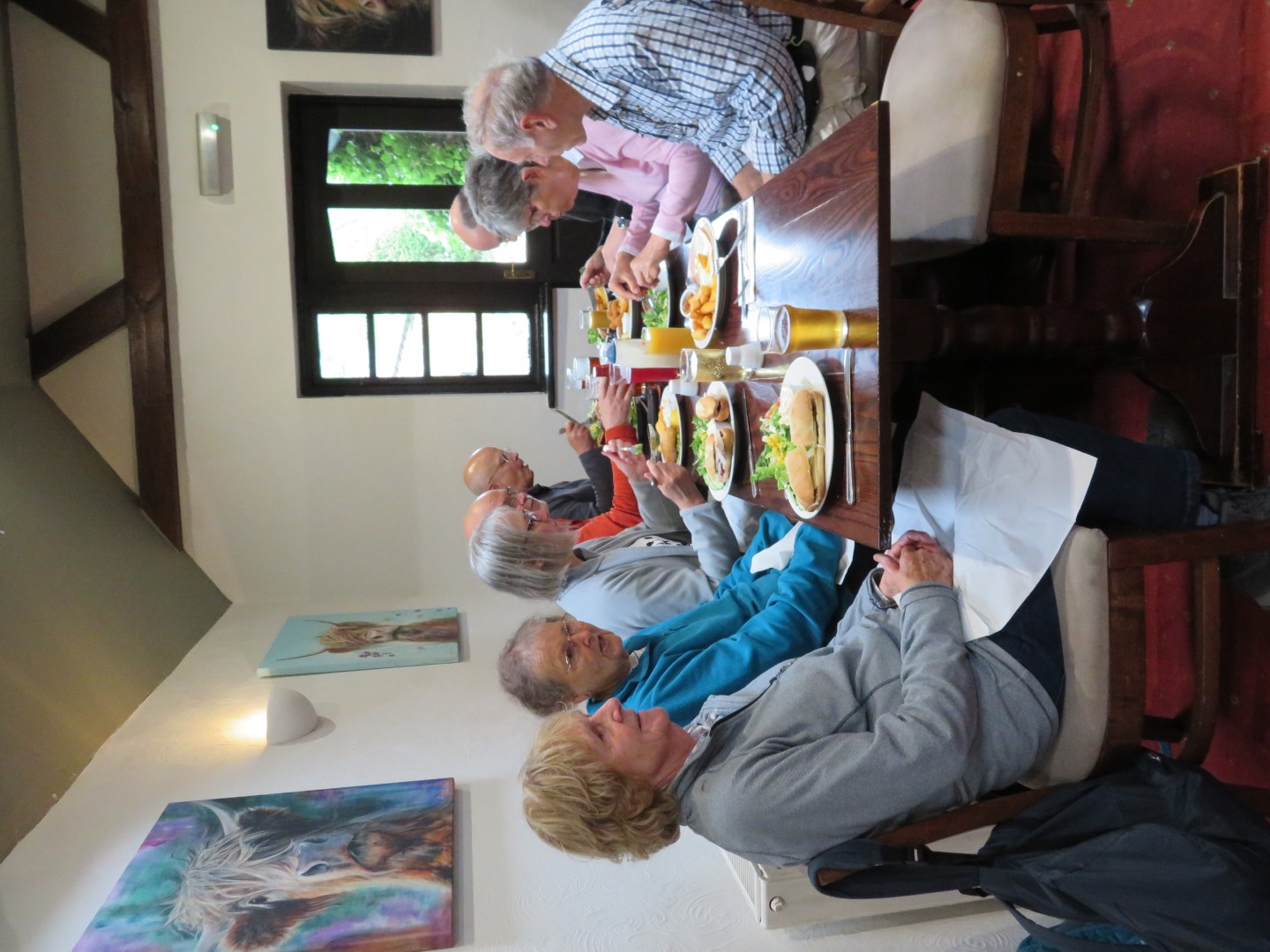
Yum yum at the Barley Mow
About 5.1/2 miles, 270m of ascent.
Recent galleries
- Pagham walk on 15th July 2026
- Earnley on 8th July 2026
- Kingley Vale on 1st July 2026
- Elsted walk on 17th June 2026
- Heyshott Walk on 10th June 2026
History
2026
2025
- December (3)
- November (4)
- October (5)
- September (4)
- August (4)
- July (5)
- June (4)
- May (5)
- April (4)
- March (5)
- February (3)
- January (4)
2024
- December (3)
- November (5)
- October (4)
- September (4)
- August (4)
- July (4)
- June (5)
- May (5)
- April (5)
- March (5)
- February (5)
- January (4)
2023
- December (3)
- November (6)
- October (5)
- September (5)
- August (3)
- July (4)
- June (6)
- May (5)
- April (4)
- March (5)
- February (4)
- January (4)
2022
- December (4)
- November (5)
- October (5)
- September (3)
- August (4)
- July (6)
- June (11)
- May (4)
- April (5)
- March (4)
- February (5)
- January (4)
2021
2020
- December (4)
- November (1)
- October (5)
- September (4)
- August (3)
- July (3)
- March (2)
- February (5)
- January (3)
2019
- December (2)
- November (5)
- October (4)
- September (3)
- August (4)
- July (4)
- June (11)
- May (5)
- April (4)
- March (3)
- February (5)
- January (5)
2018
- December (2)
- November (4)
- October (4)
- September (5)
- August (4)
- July (3)
- June (5)
- May (8)
- April (4)
- March (4)
- February (5)
- January (3)
2017
- December (3)
- November (5)
- October (3)
- September (4)
- August (4)
- July (4)
- June (11)
- May (4)
- April (4)
- March (3)
- February (4)
- January (5)
2016
- December (3)
- November (4)
- October (5)
- September (4)
- August (3)
- July (6)
- June (11)
- May (4)
- April (5)
- March (3)
- February (10)
- January (2)
2015
2014
- June (2)
1997
- February (1)