Gallery (Click on titles!)
-
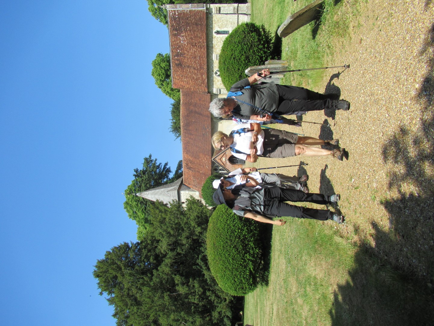
Cocking walk on 5th July 2023
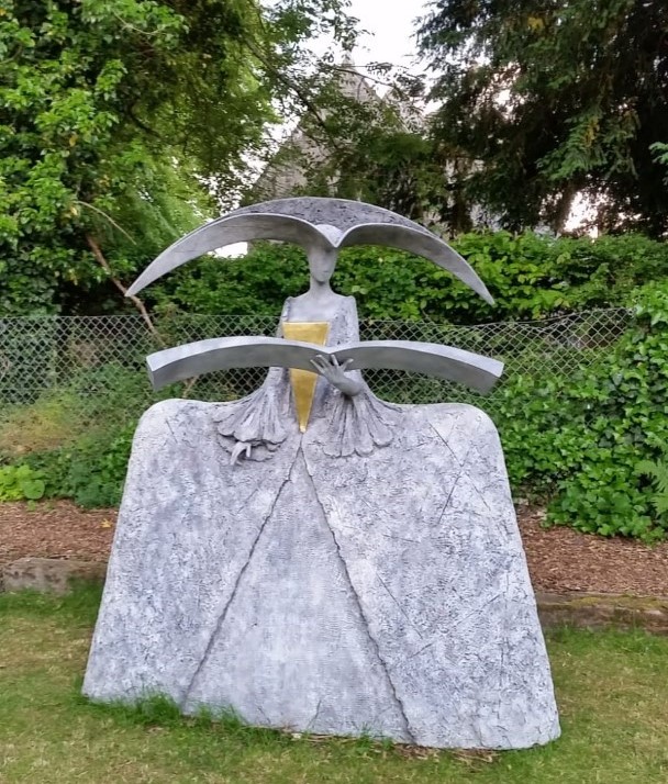
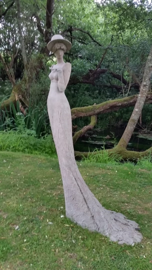
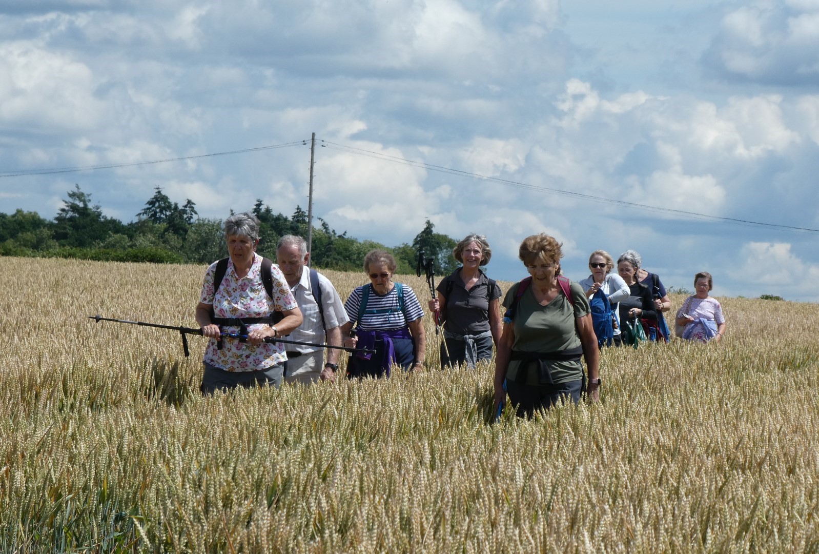
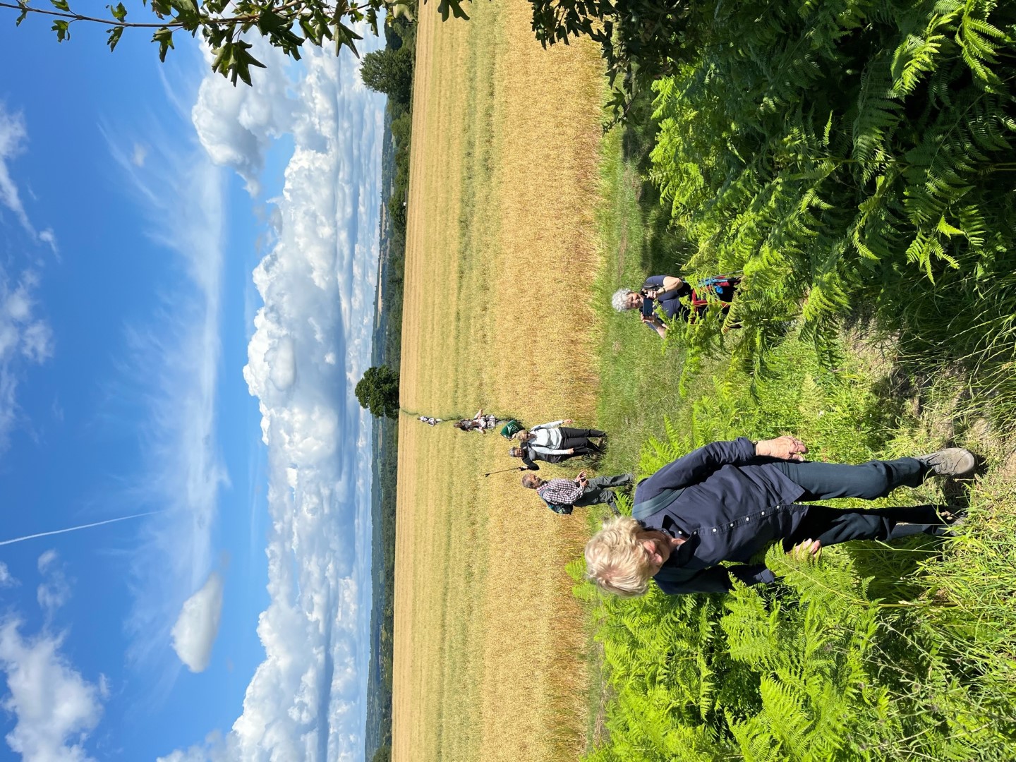
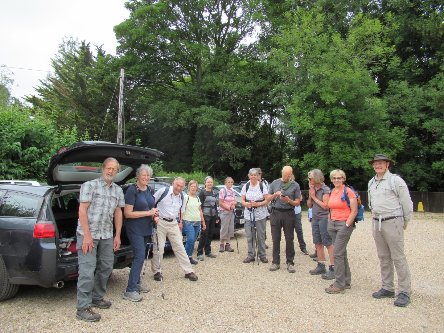
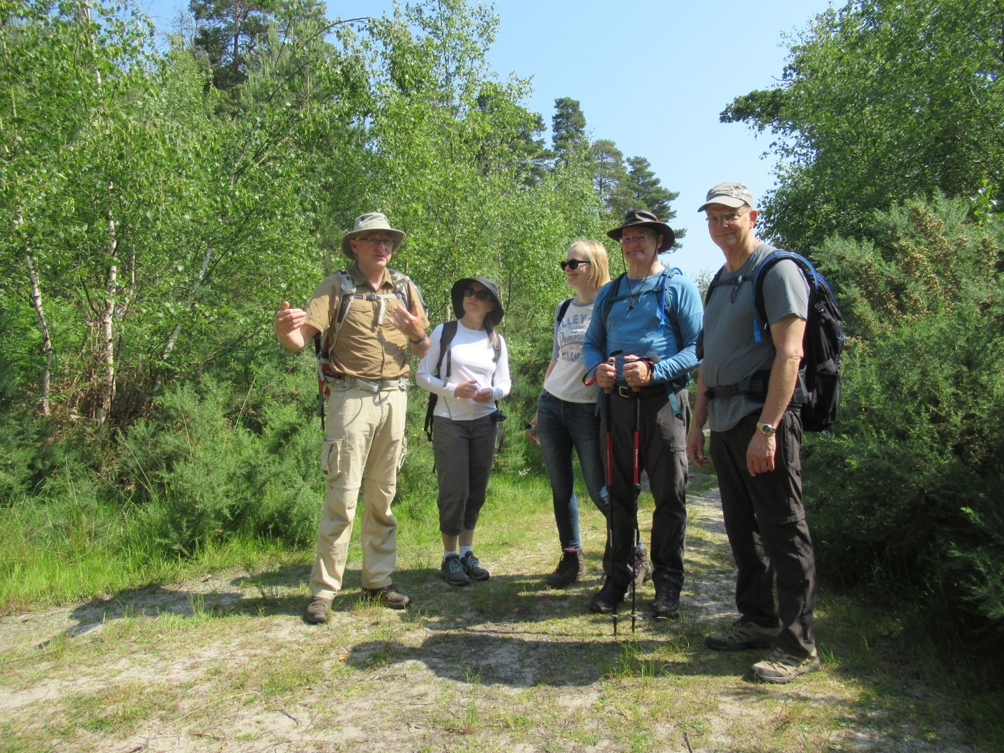
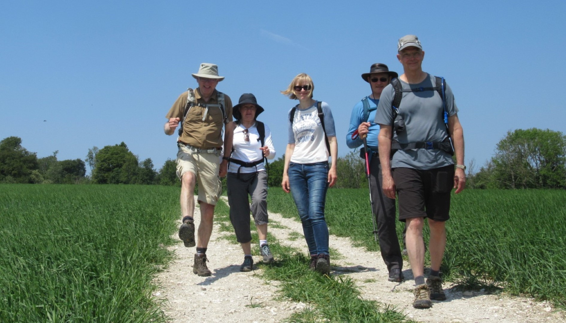
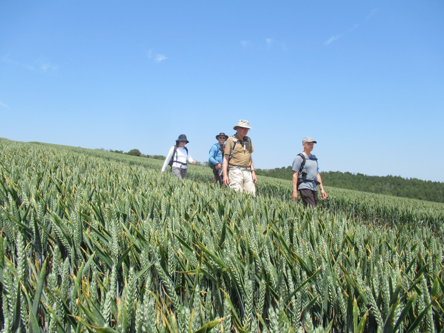
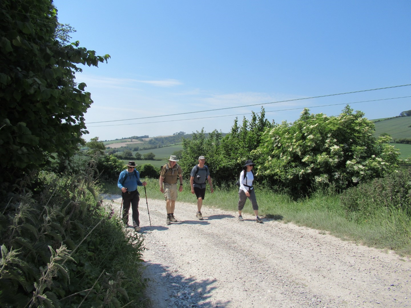
We gathered outside The Bluebell before setting off across the road and down the path towards Mill Hanger. On the way we were keen to have a look at the fabulous statues hidden behind a hedge. However, the hedge proved a major obstacle and we were fortunate a fellow walker had been taking photos on a recent open day. Can't be sure the open day will be repeated but here's a link - Cocking Garden - which is interesting. After some field work we descended into the magical Hoe Copse and walked up to Mill Lane in Heyshott. Walking north we passed Walkers Farm and then turned towards Heyshott Down, full of tumuli and managed by the Trust that the Cocking sculptor supports. Descending into Heyshott we travelled through fields full of wild flowers and then found a pleasant spot in the Churchyard for our drinks break. After using the provided seating, and duly refreshed, we embarked on our return journey, mostly through fields full of grain crops, wheat, barley and oats to eventually return to the start of our adventure. Food was provided by The Bluebell and was thoroughly enjoyed. Many thanks for the walk, Jay and Lindsay, about 5 miles in beautiful weather.
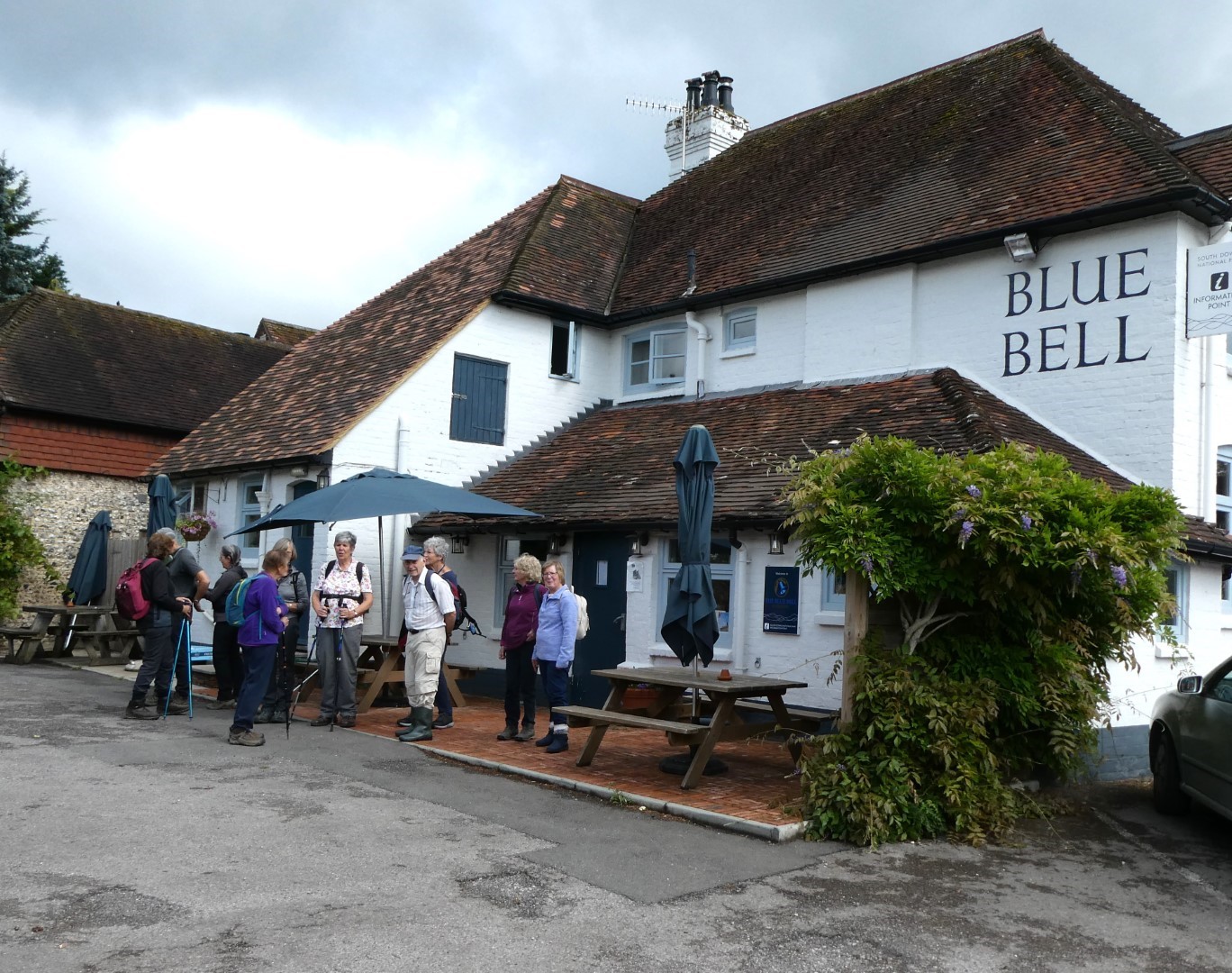
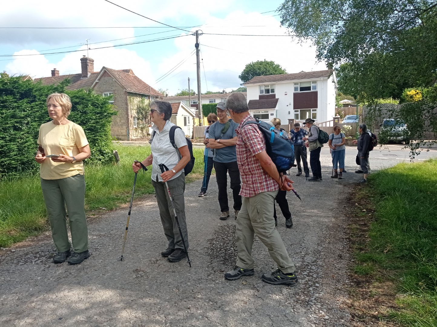
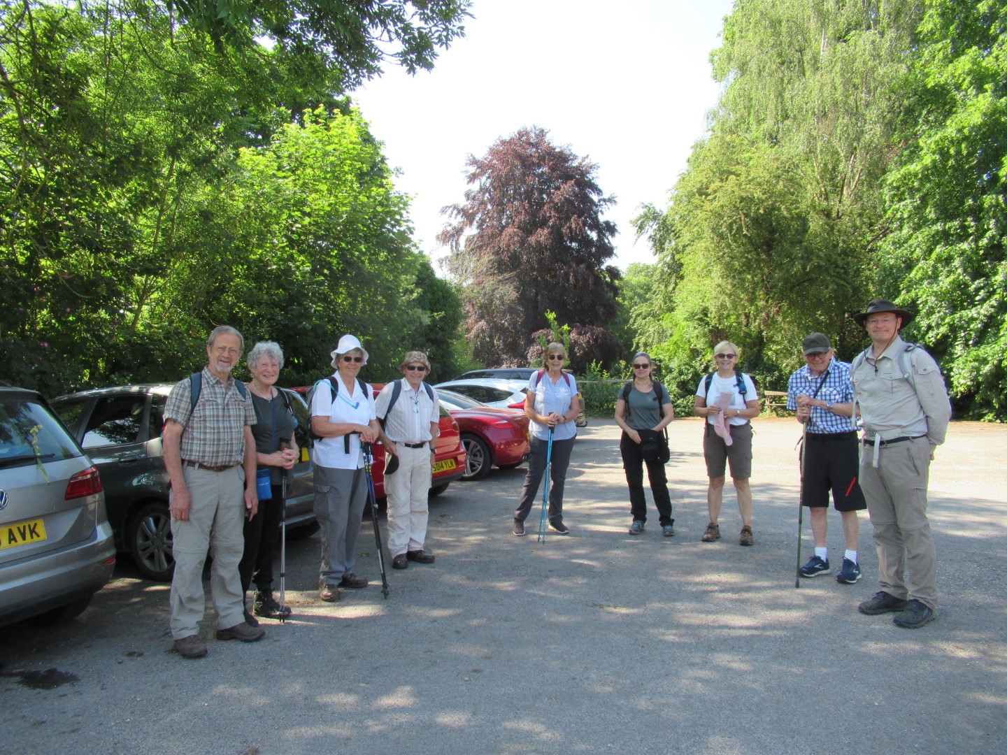
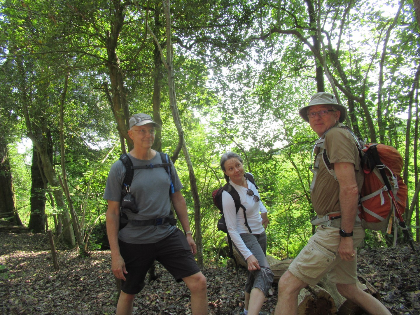
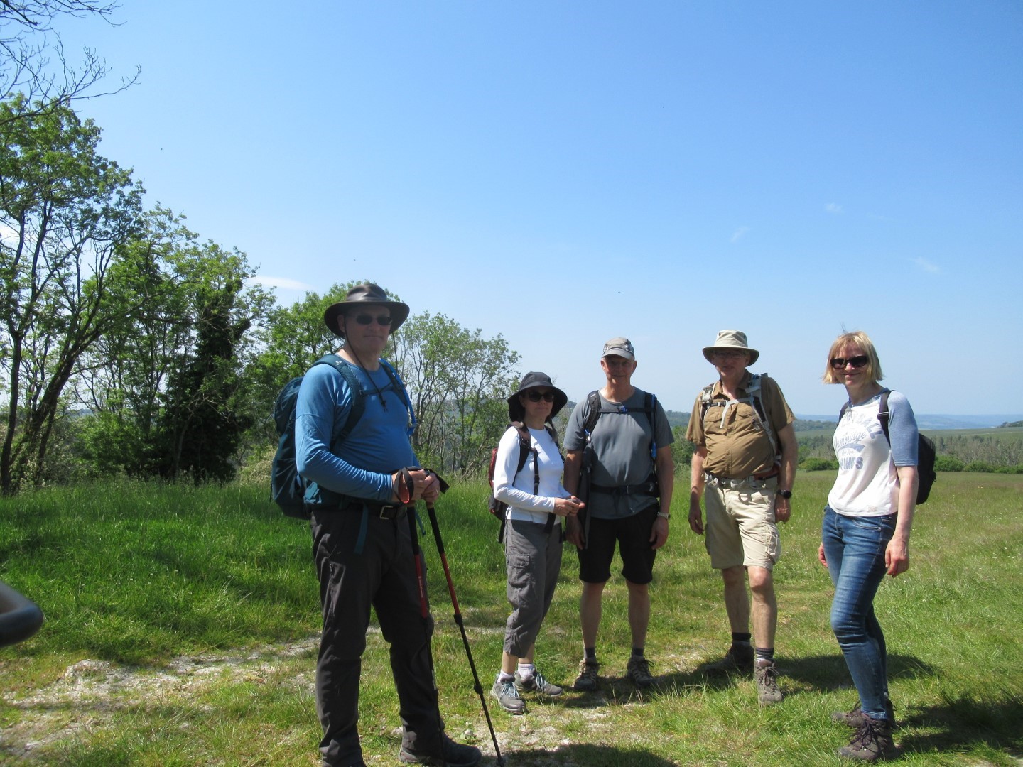
Preparing for the off
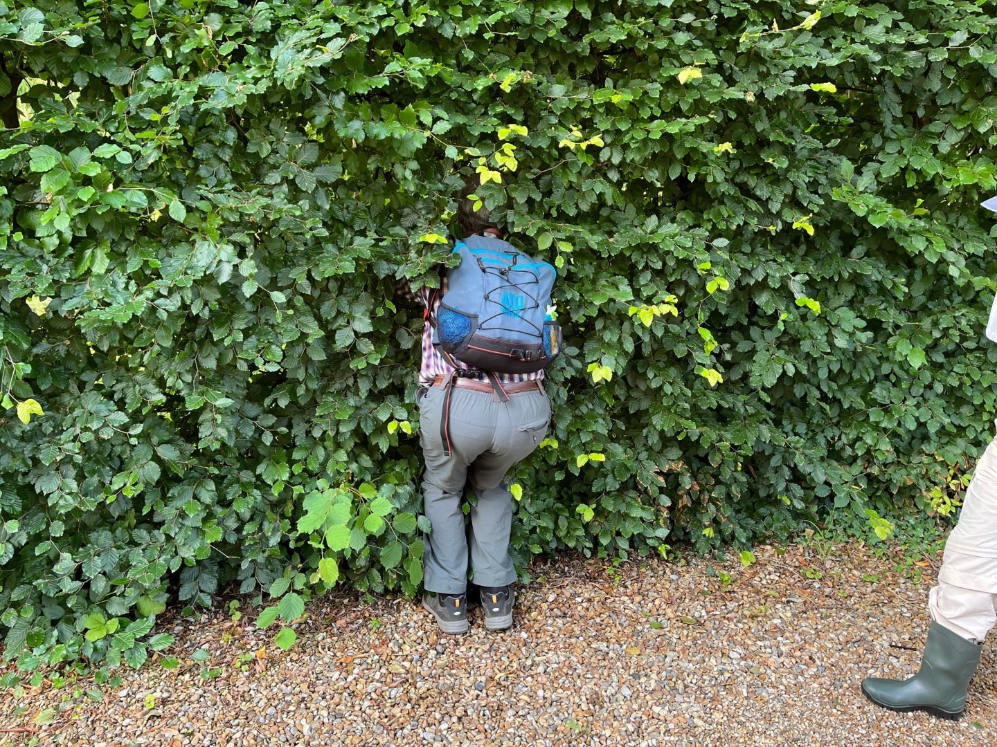
So what's behind the hedge - and what is that boot going to do......?
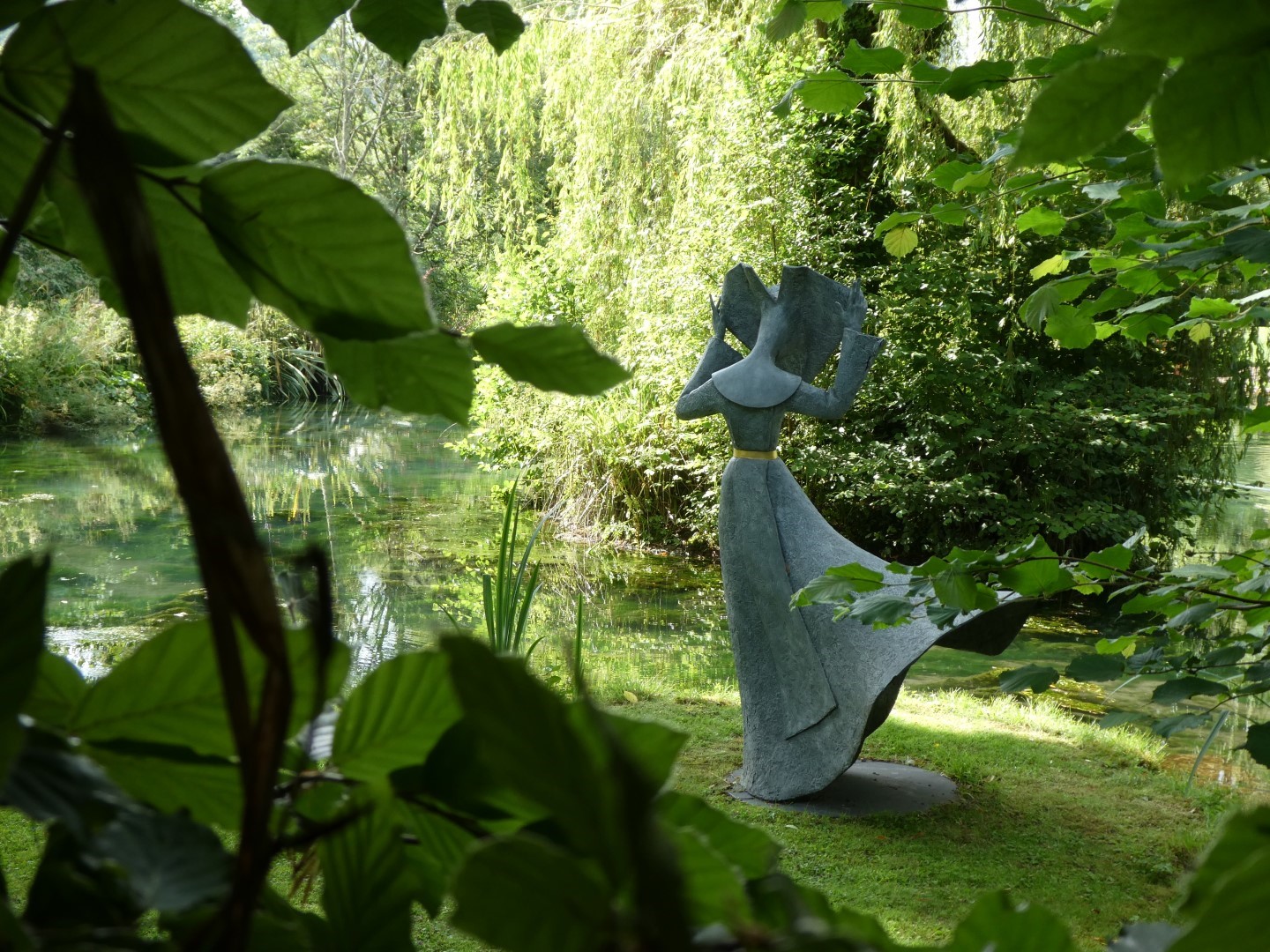
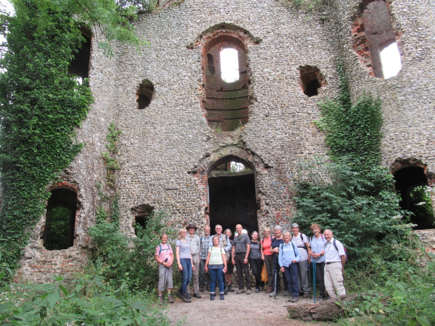
Aha, that's what's hidden away.
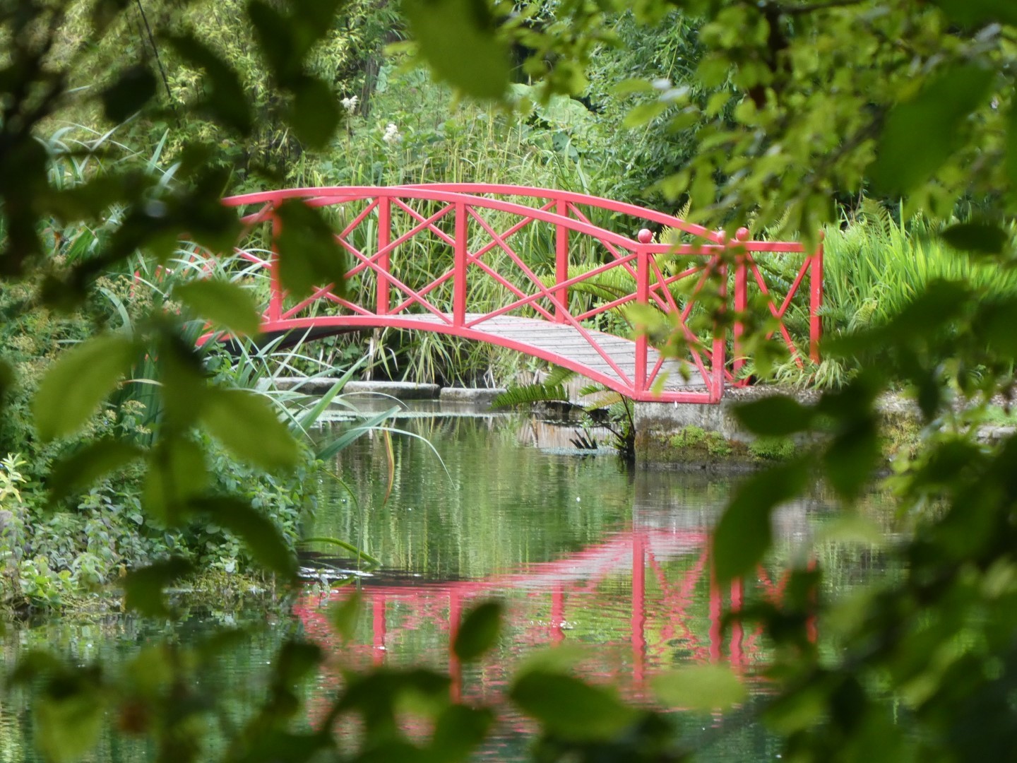
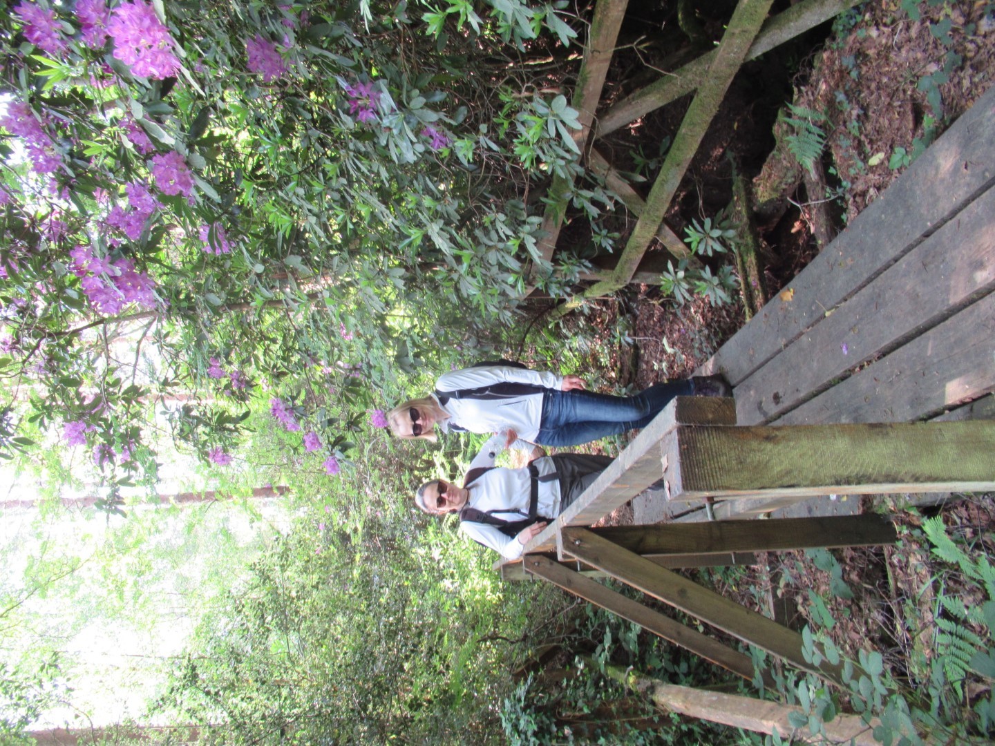
and a bridge!
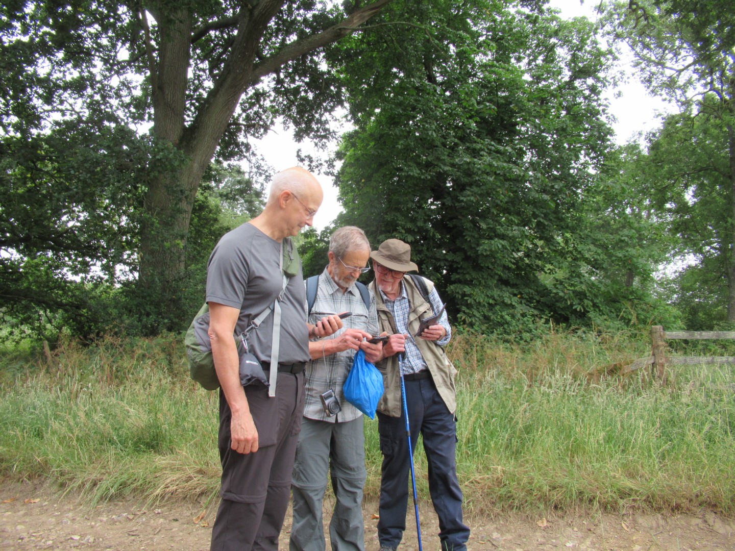
Is this our walk leader, studying the map?
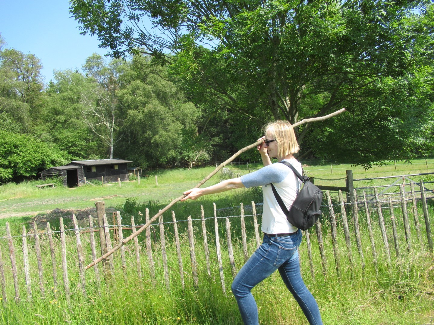
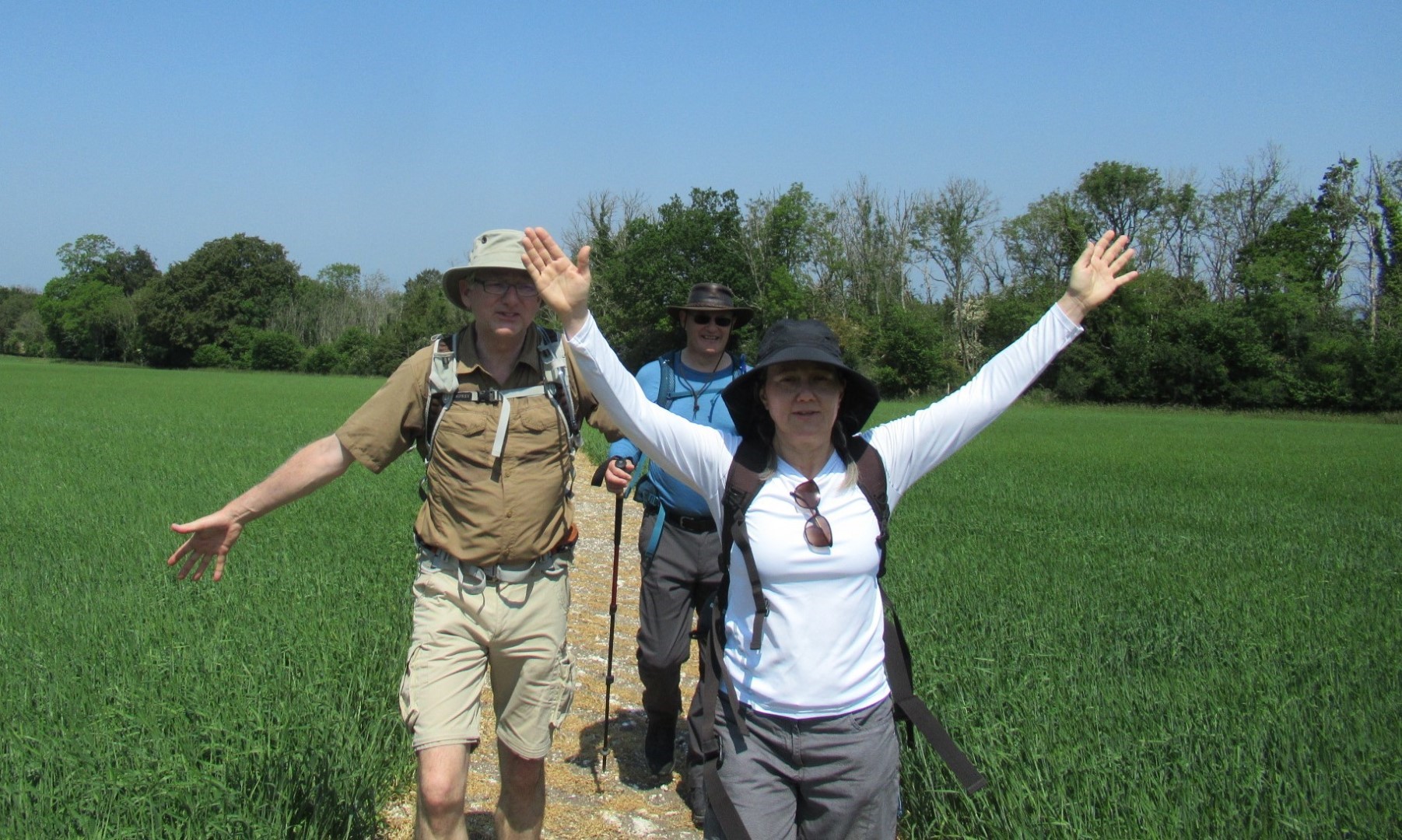
Well, I have my sun-hat, but where is my rucksack?
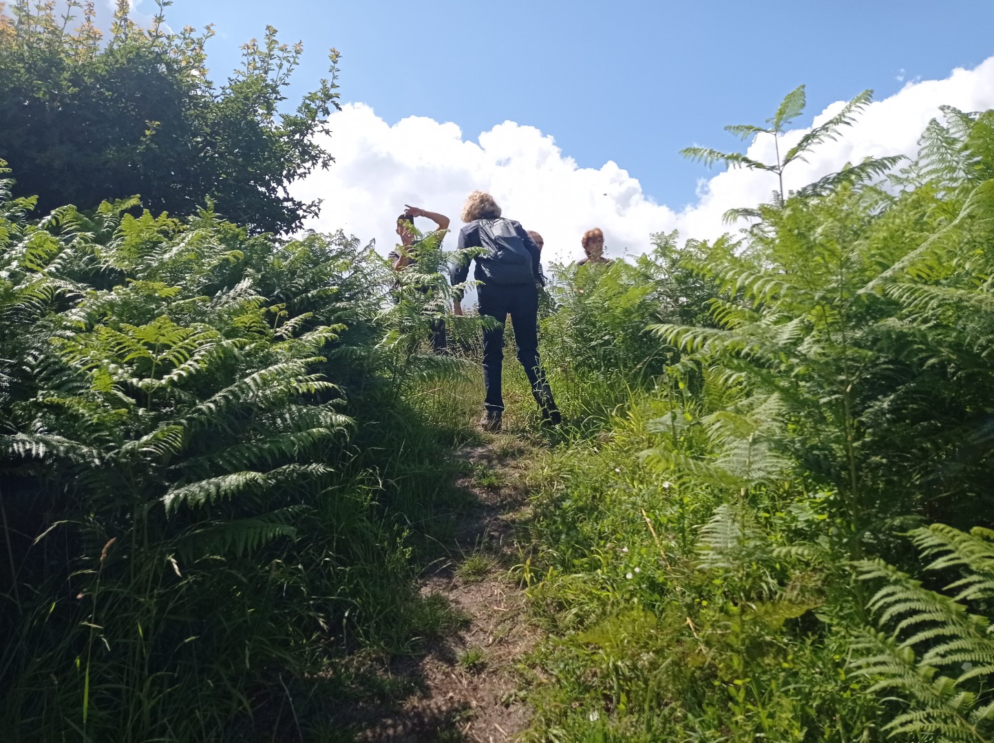
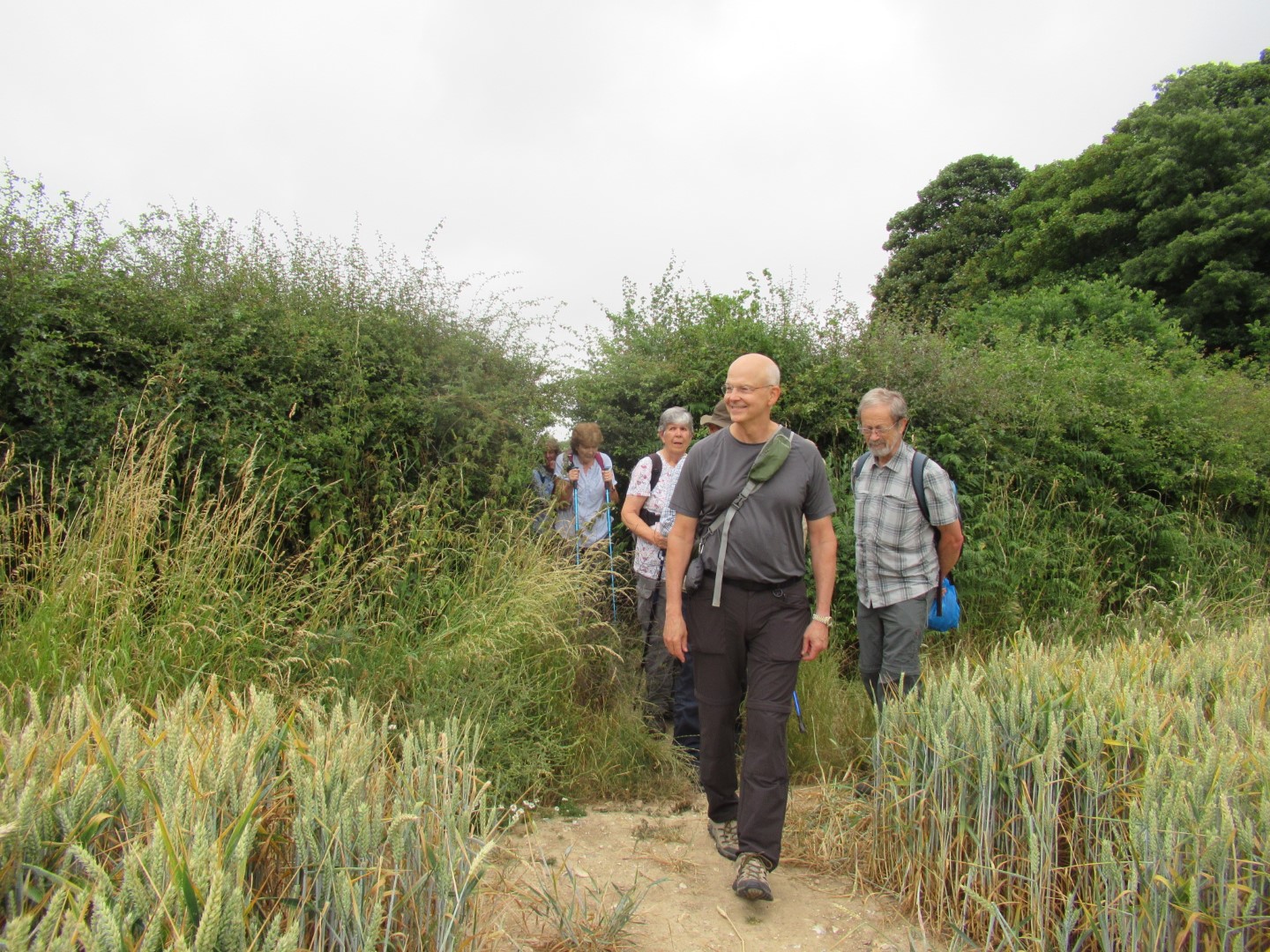
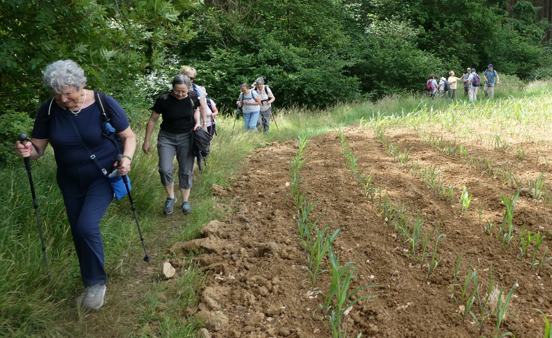
Climbing up into the field
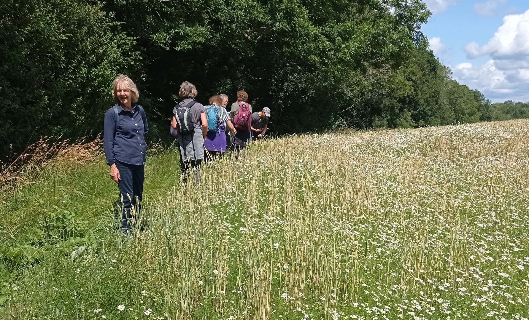
Daisies and barley
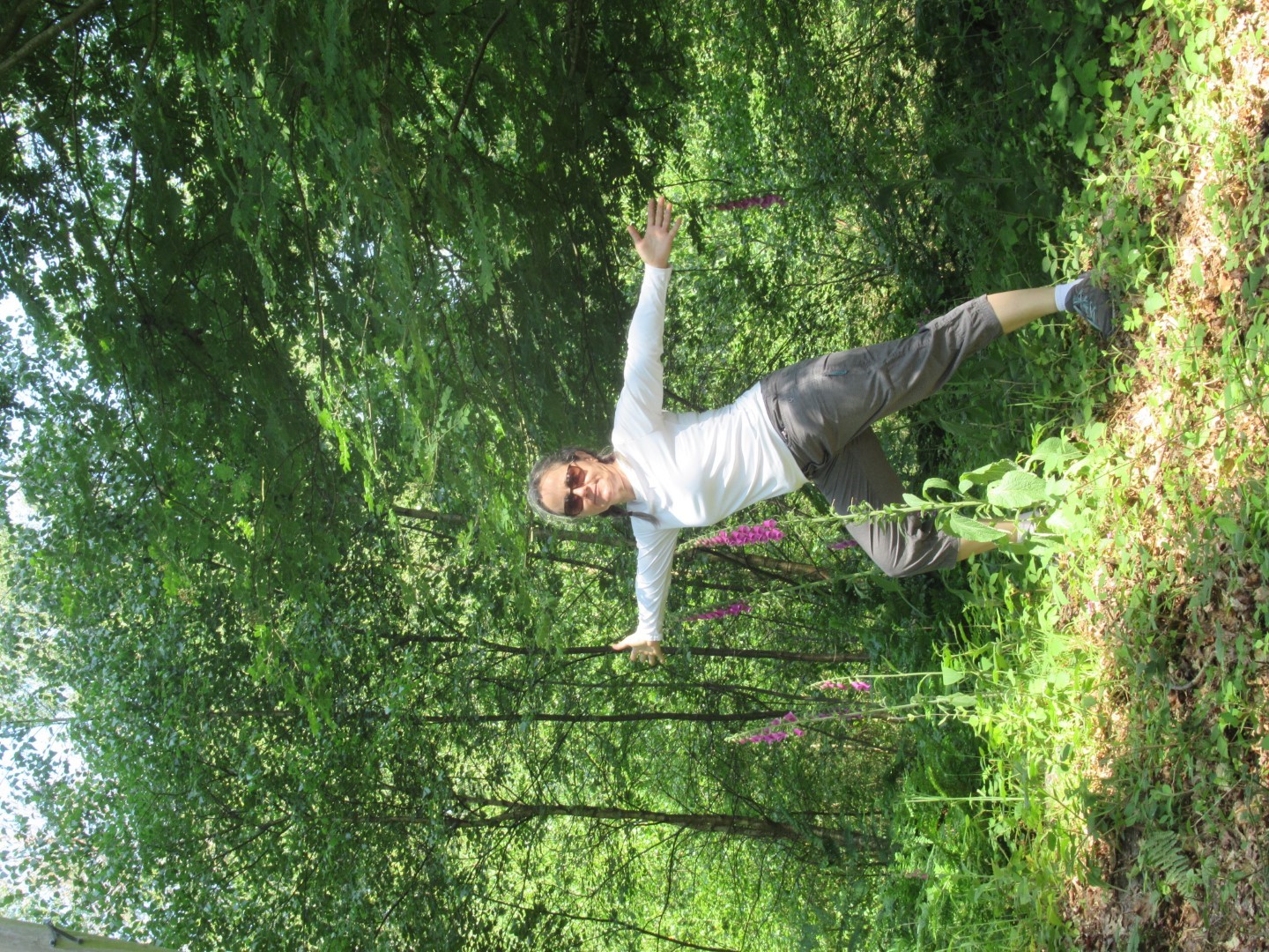
Beautiful Sussex!
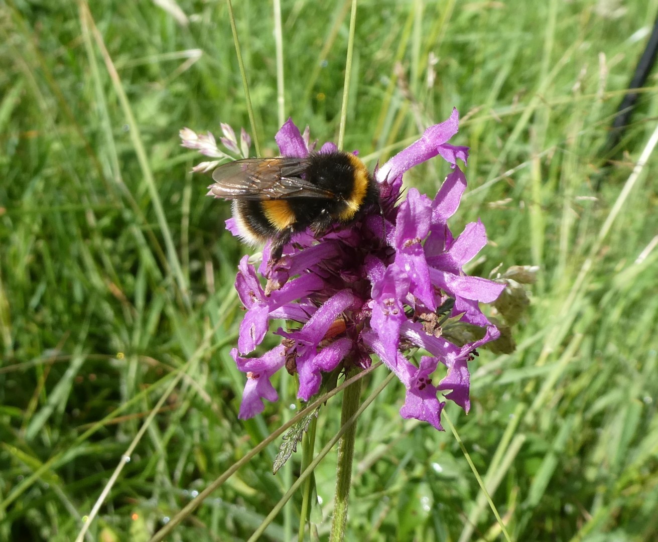
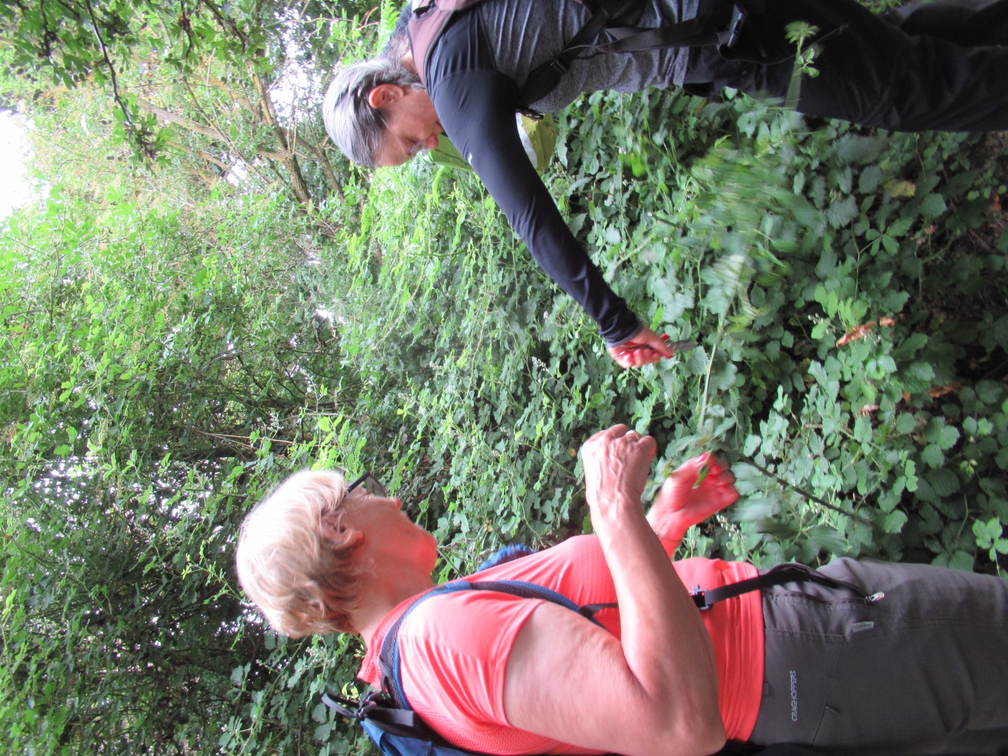
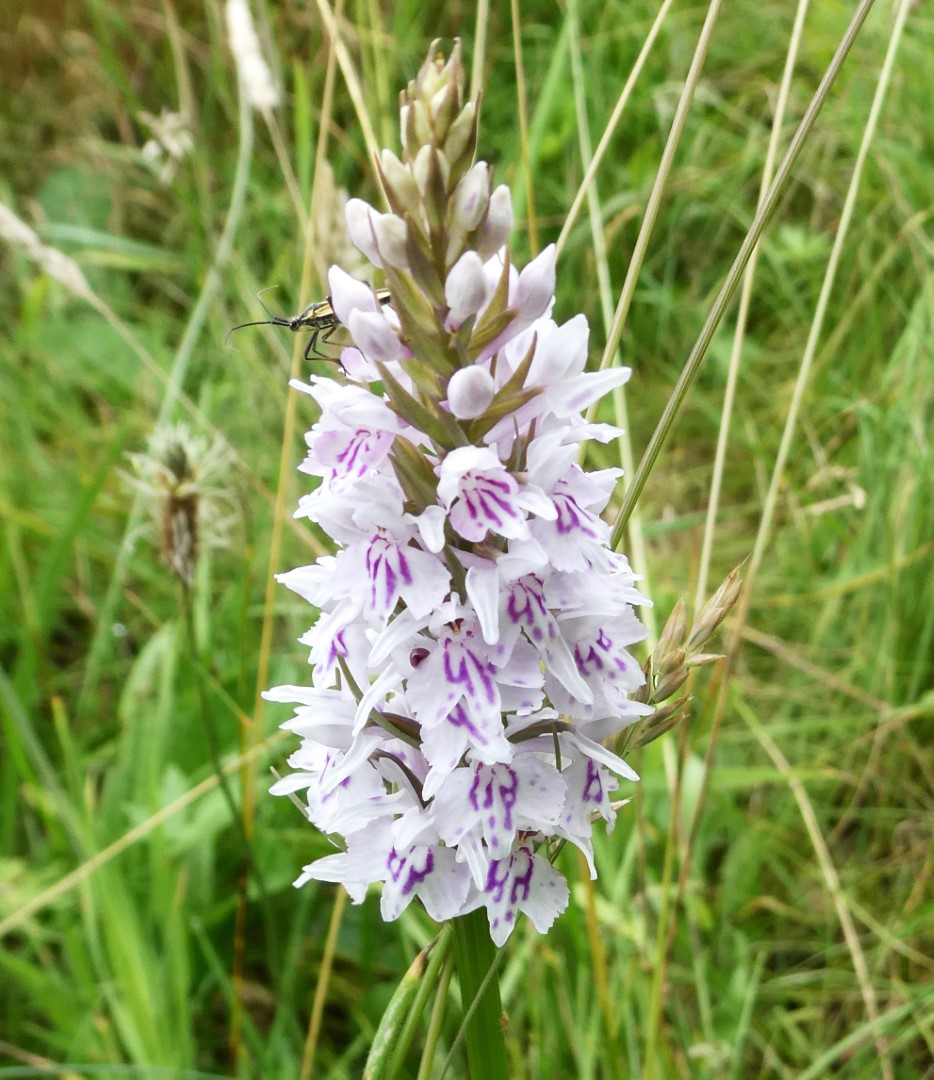
Bee feeding on an orchid?
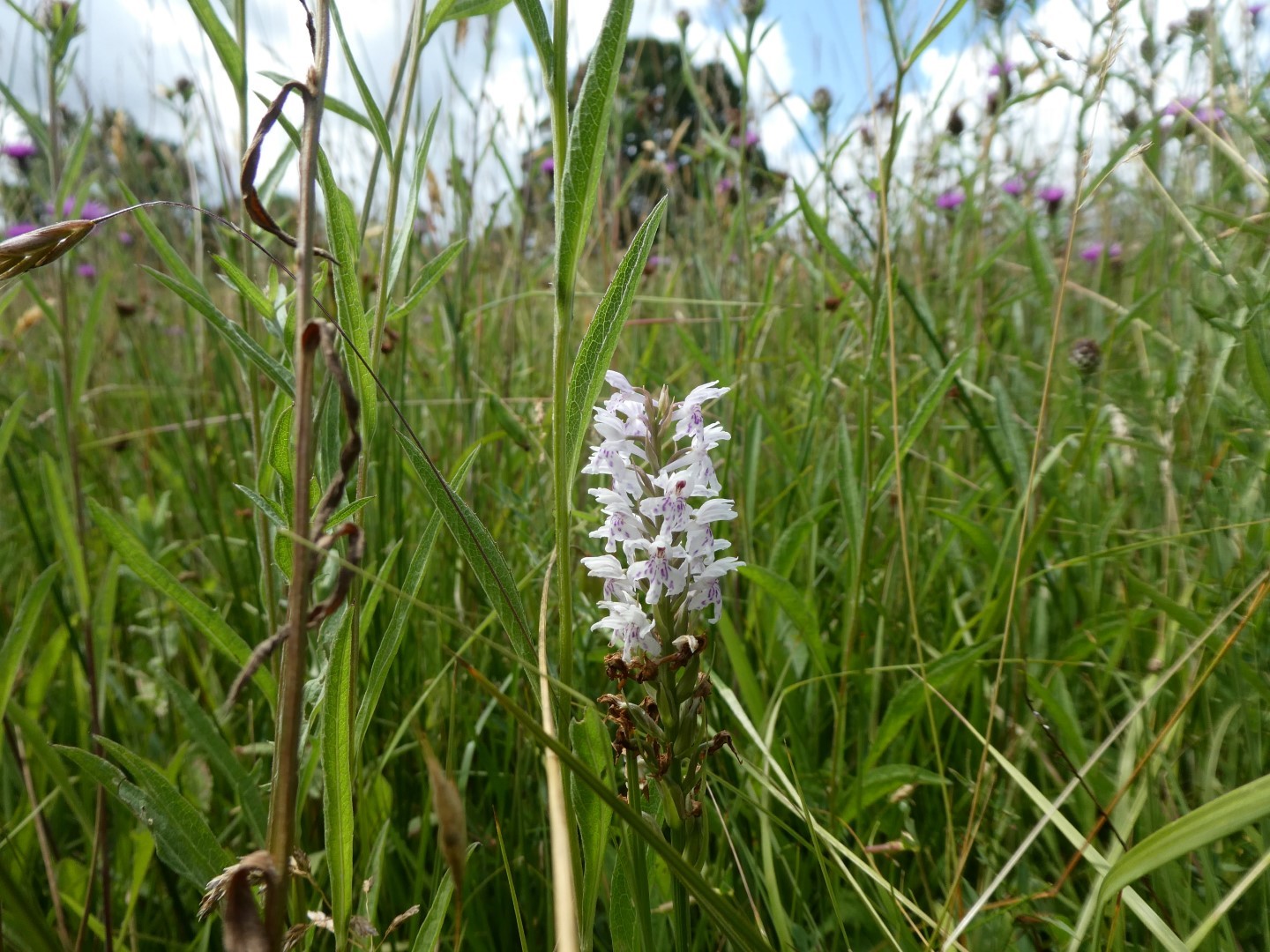
Common spotted orchid?
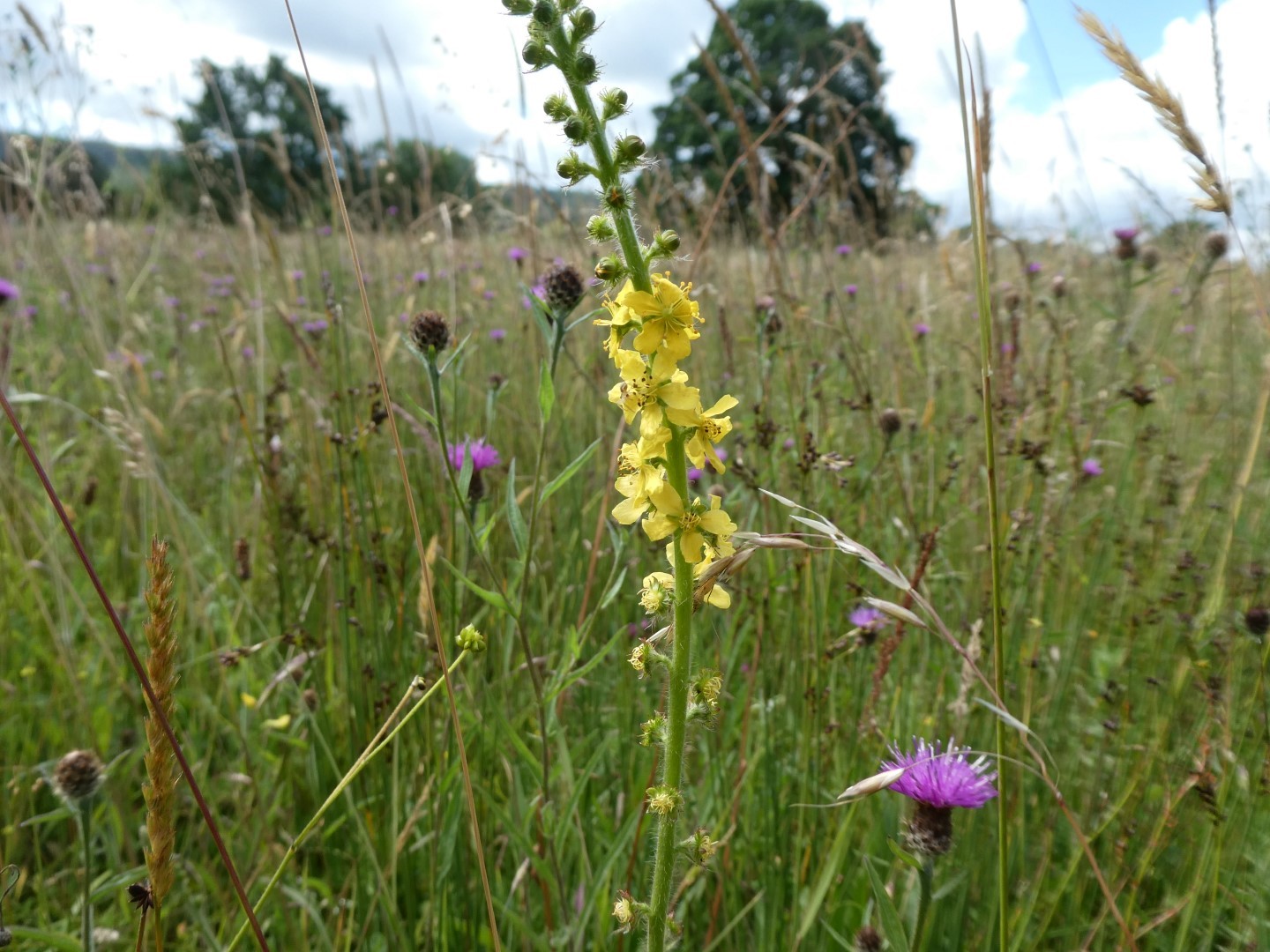
Wild flowers in abundance agrimoney and mullein.
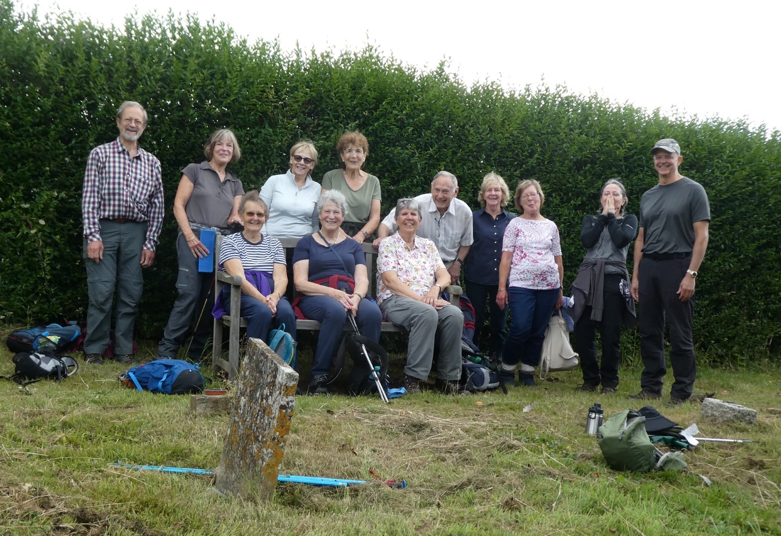
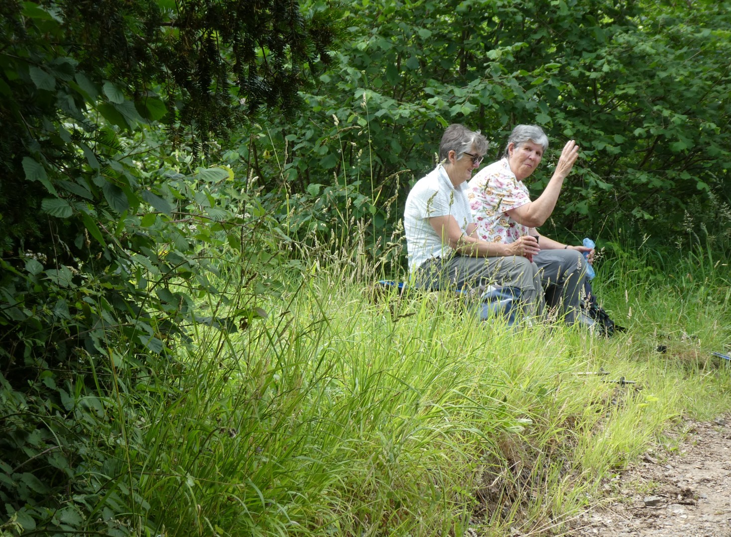
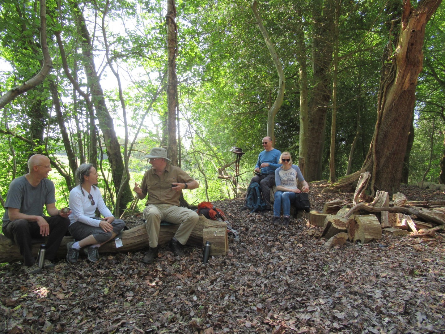
Drinks party in the churchyard
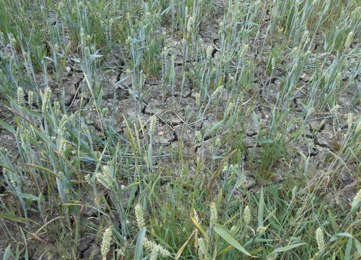
Despite recent rain, the earth was still very cracked up.
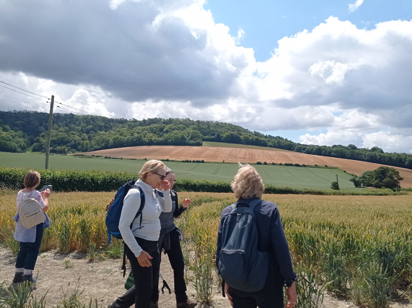
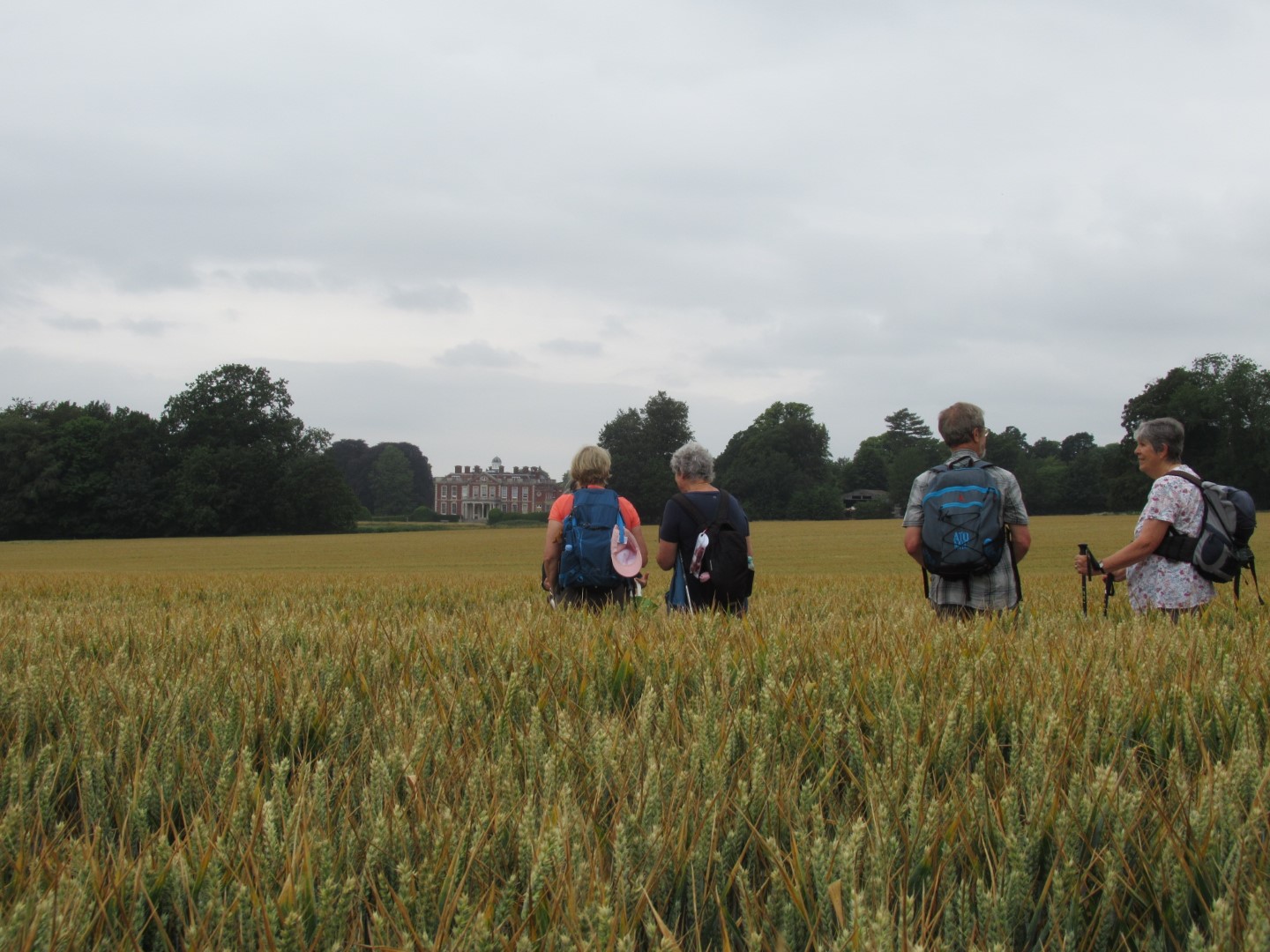
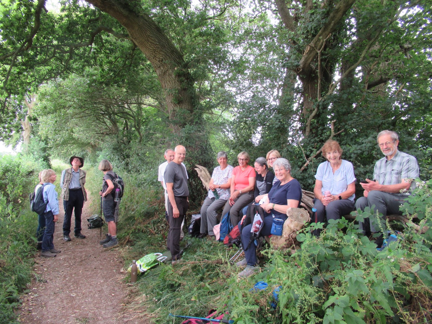
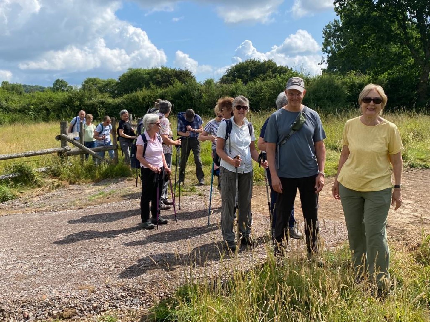
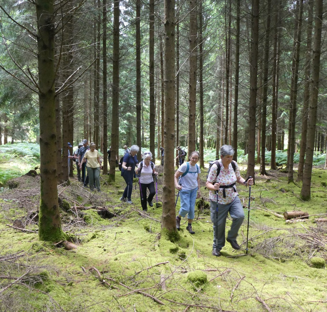
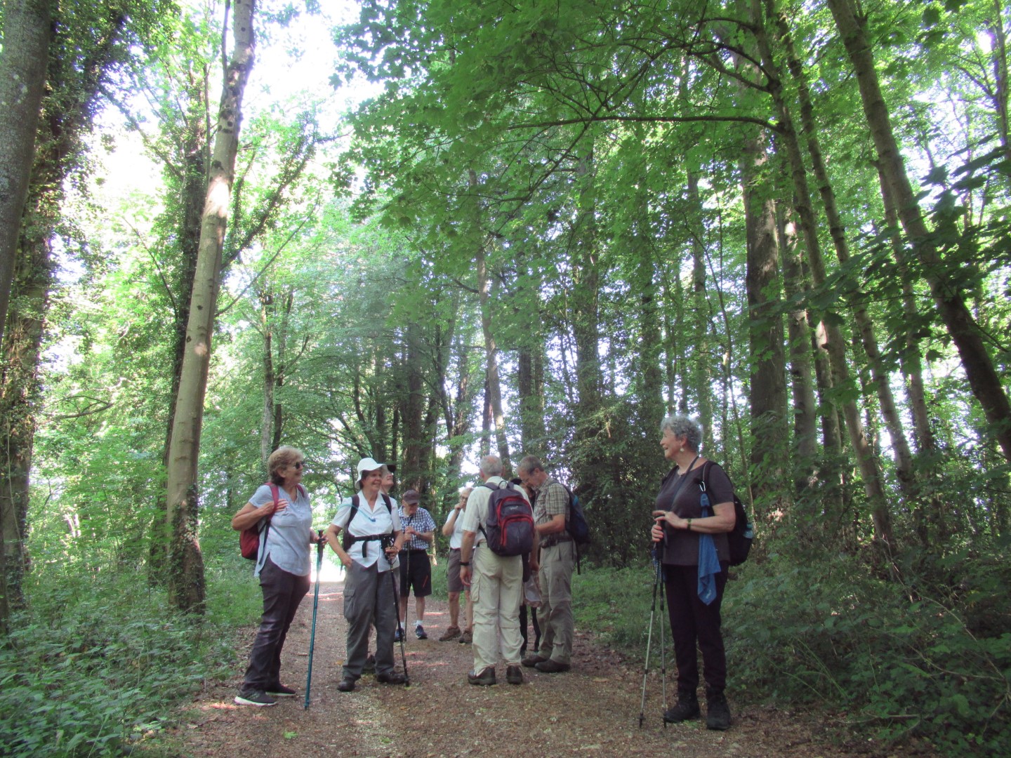
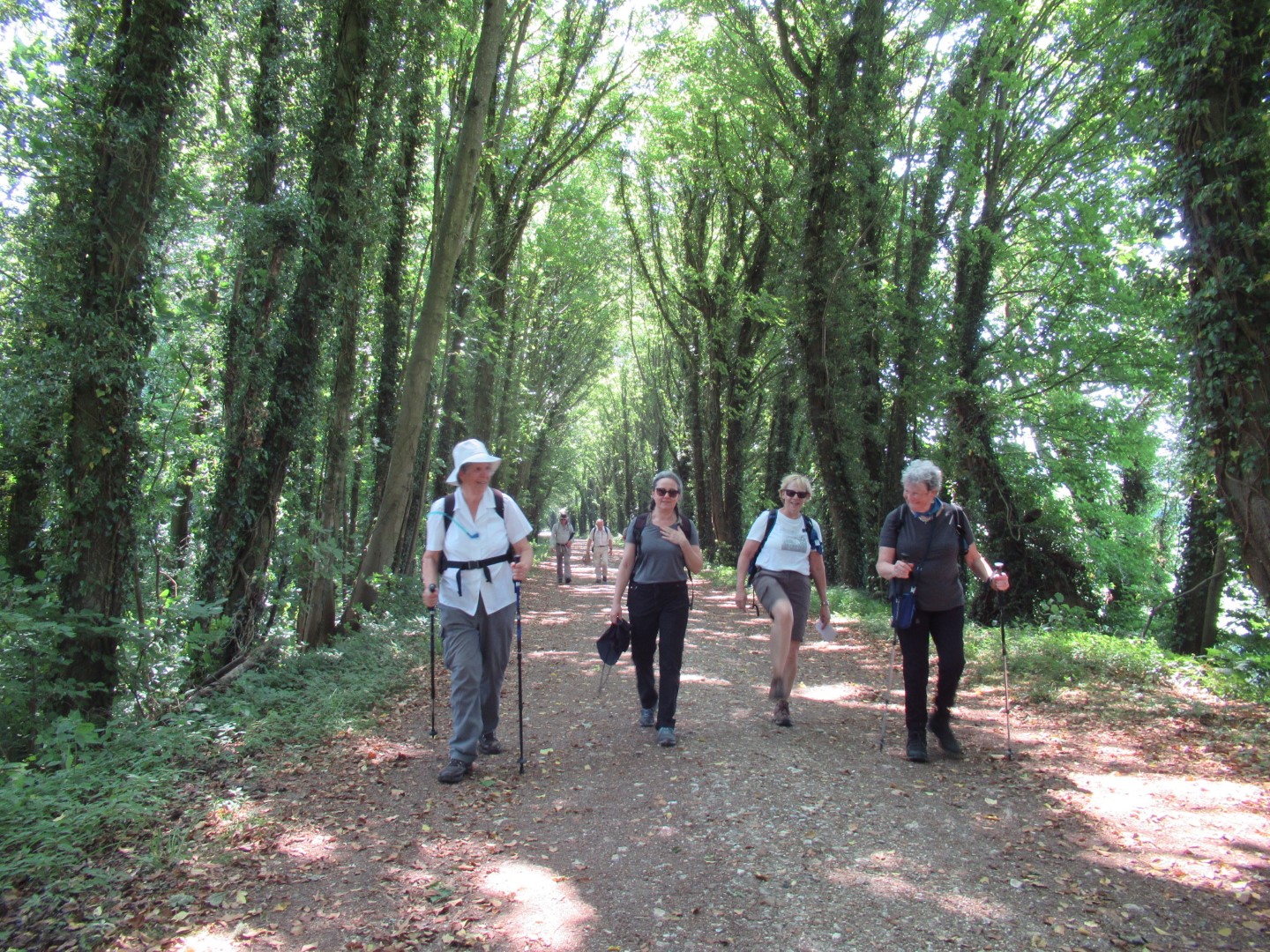
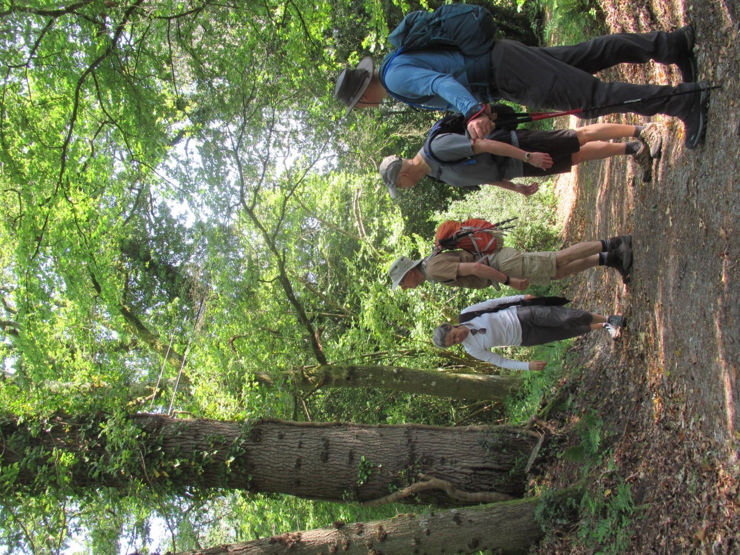
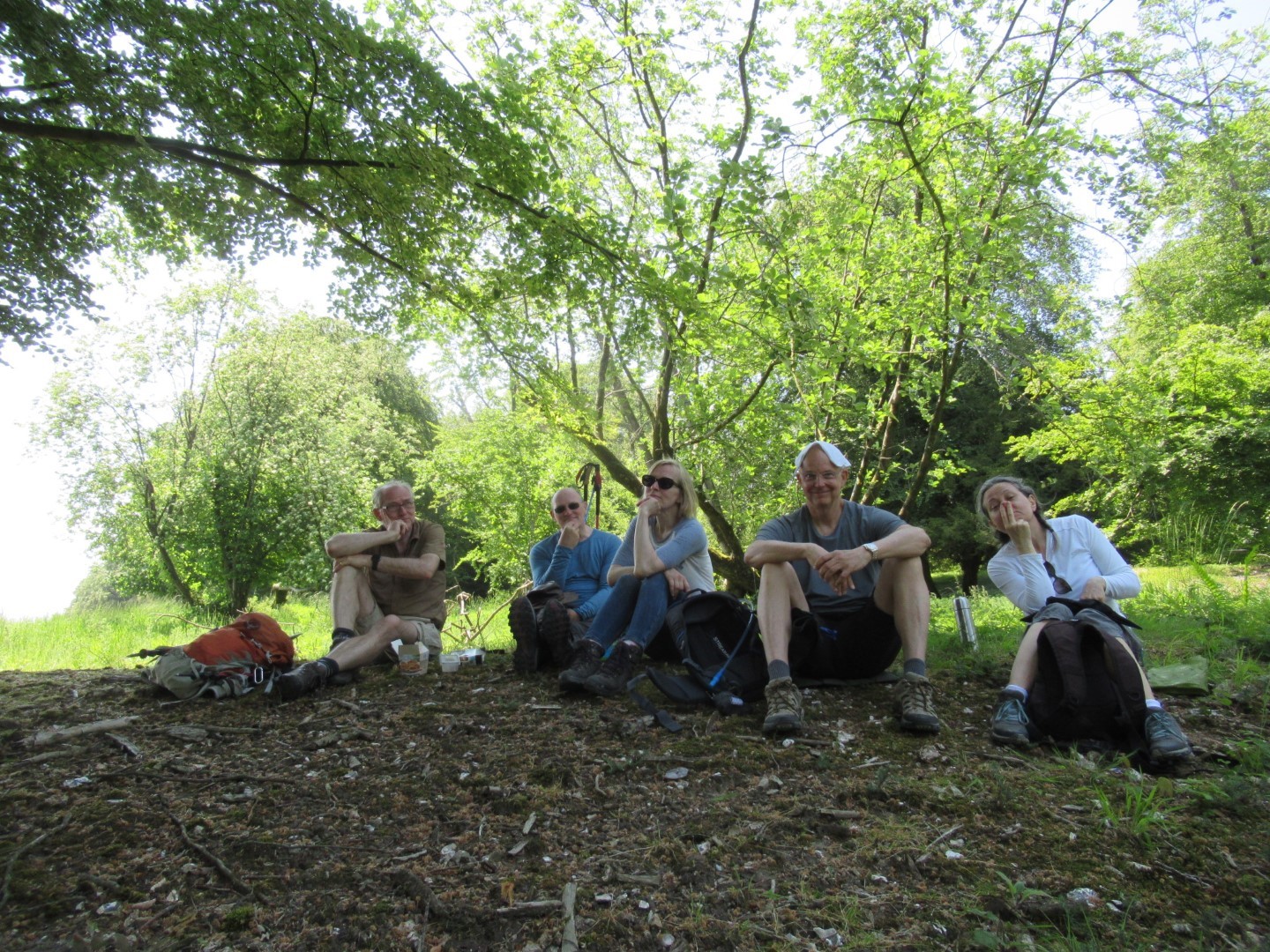
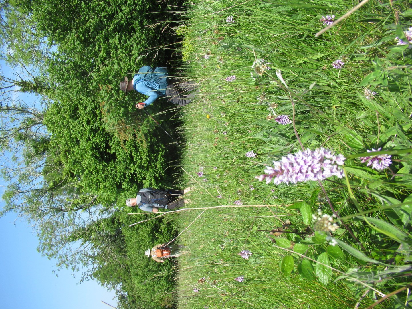
Looks like a field study group
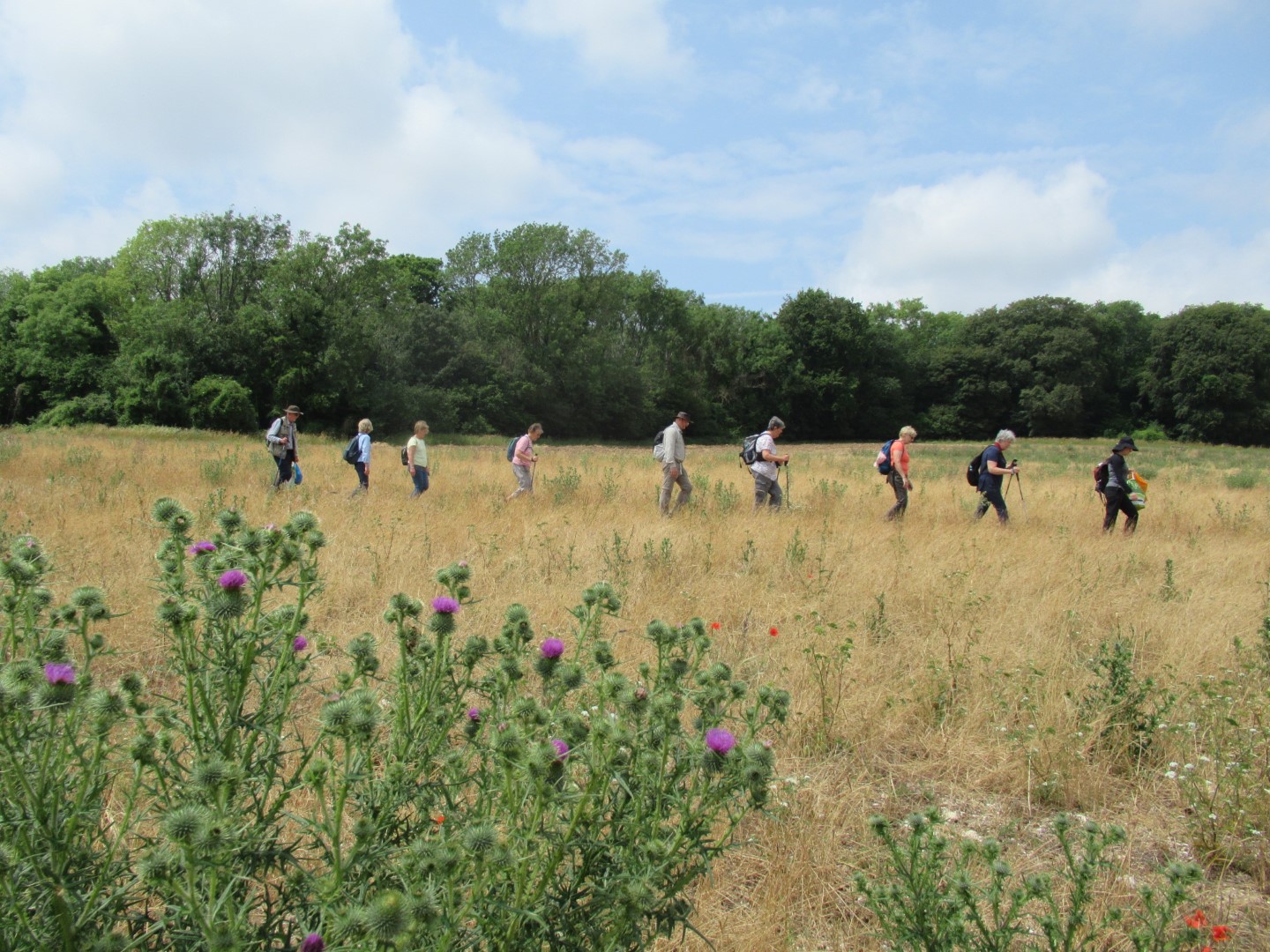
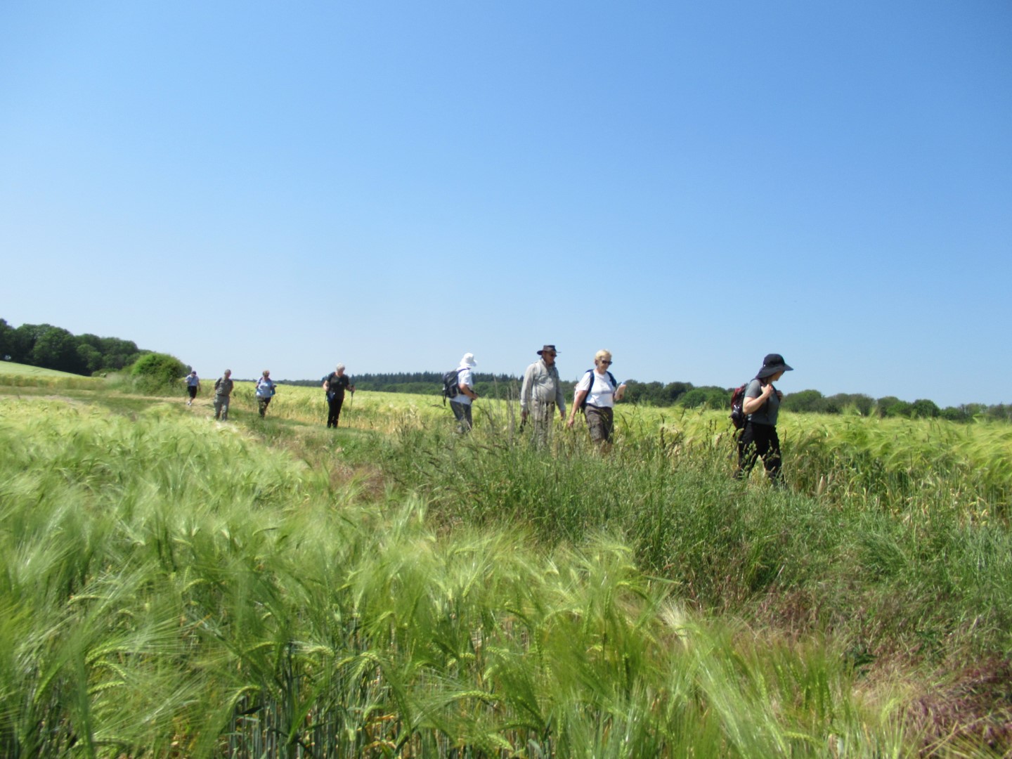
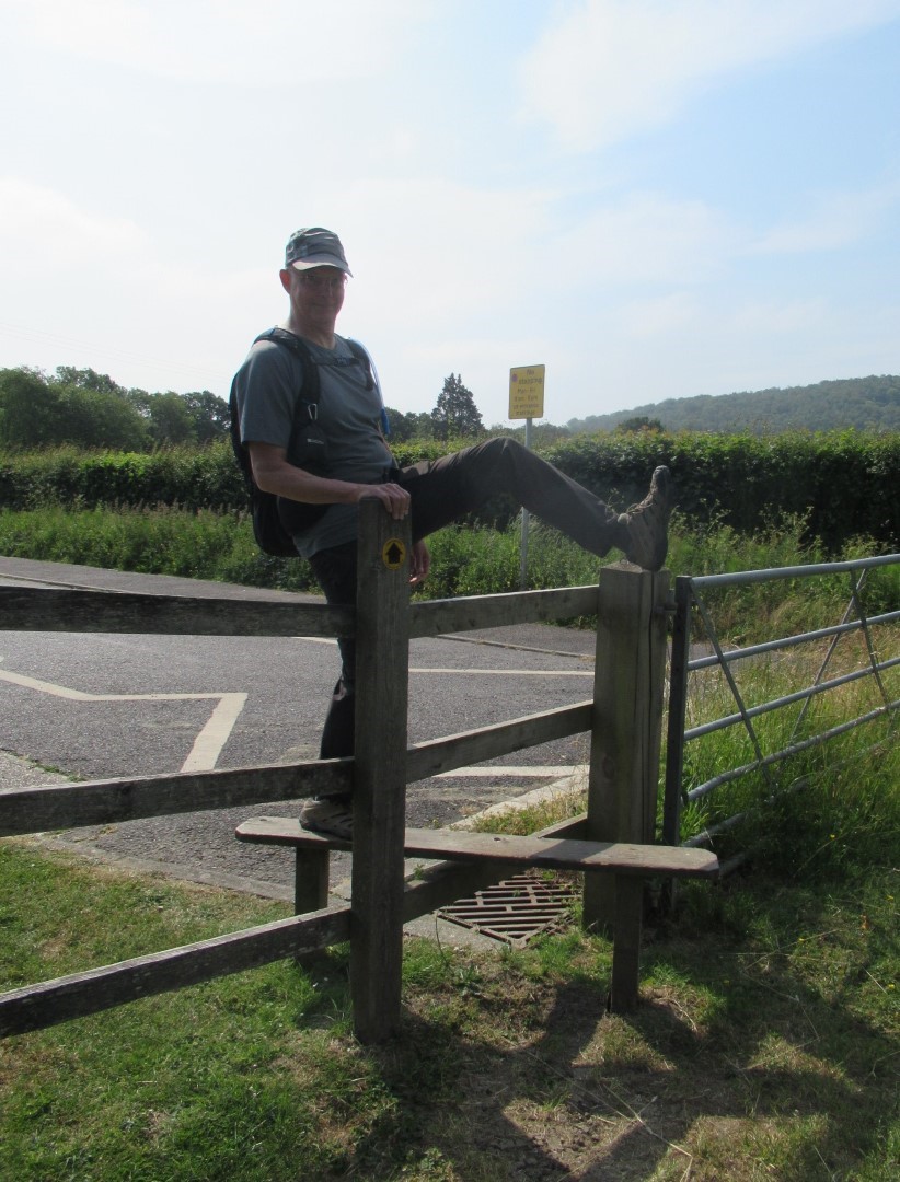
There's no missing the path across that field!
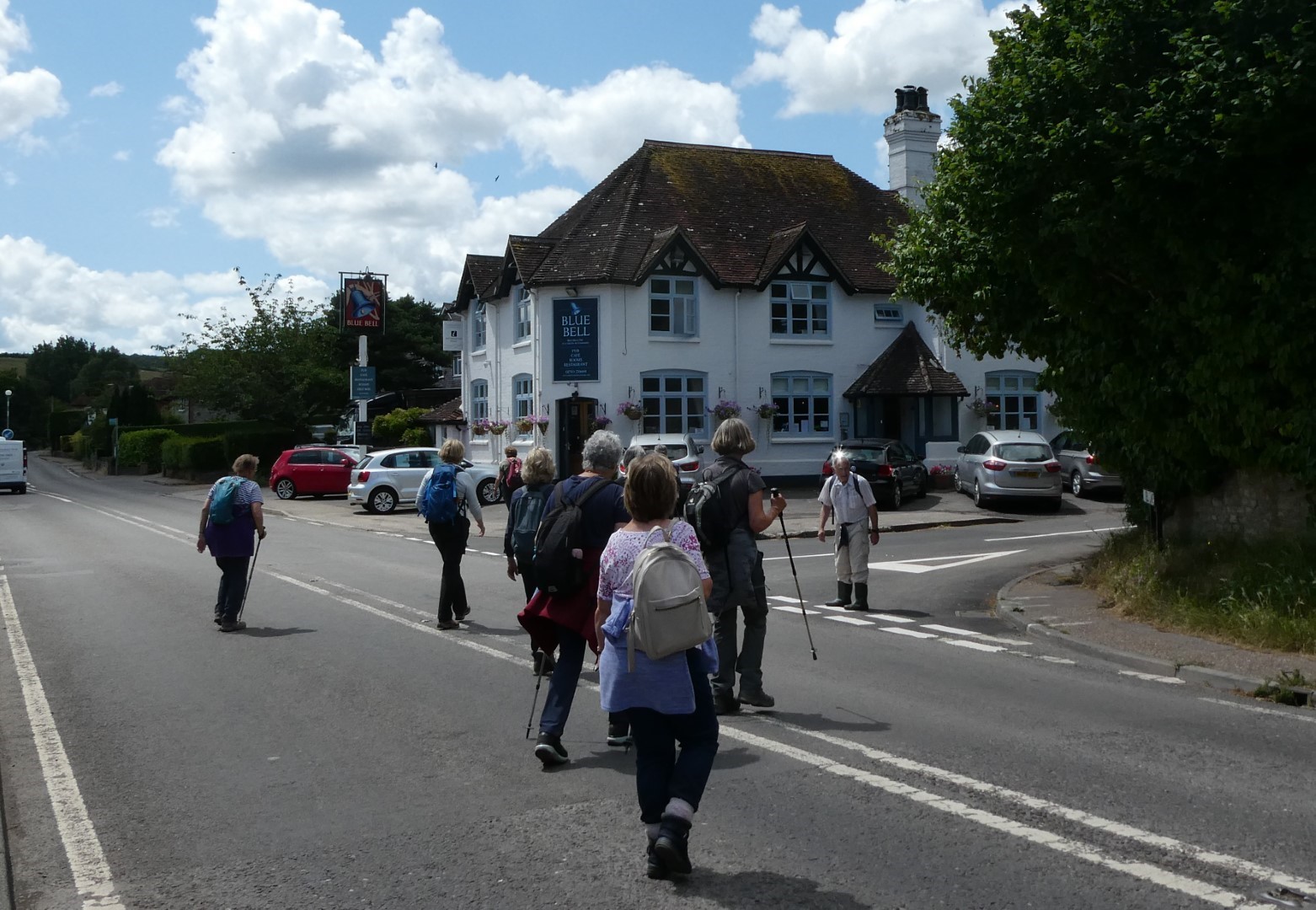
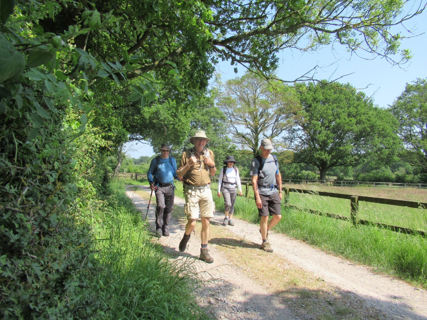
Back to Cocking village
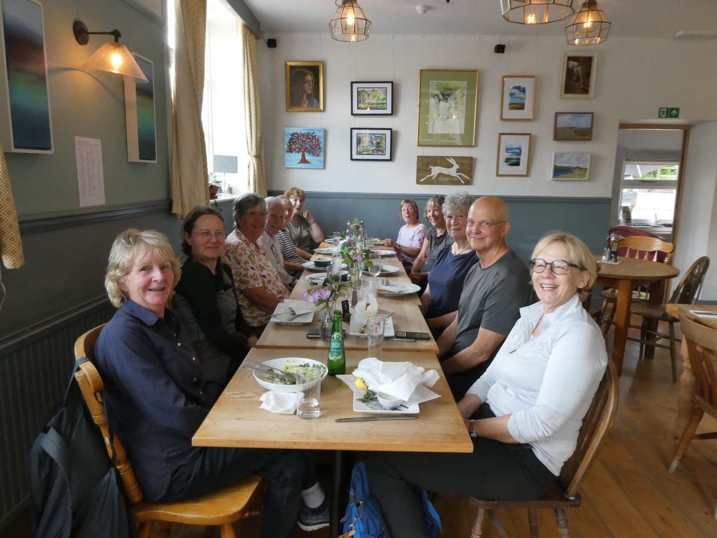
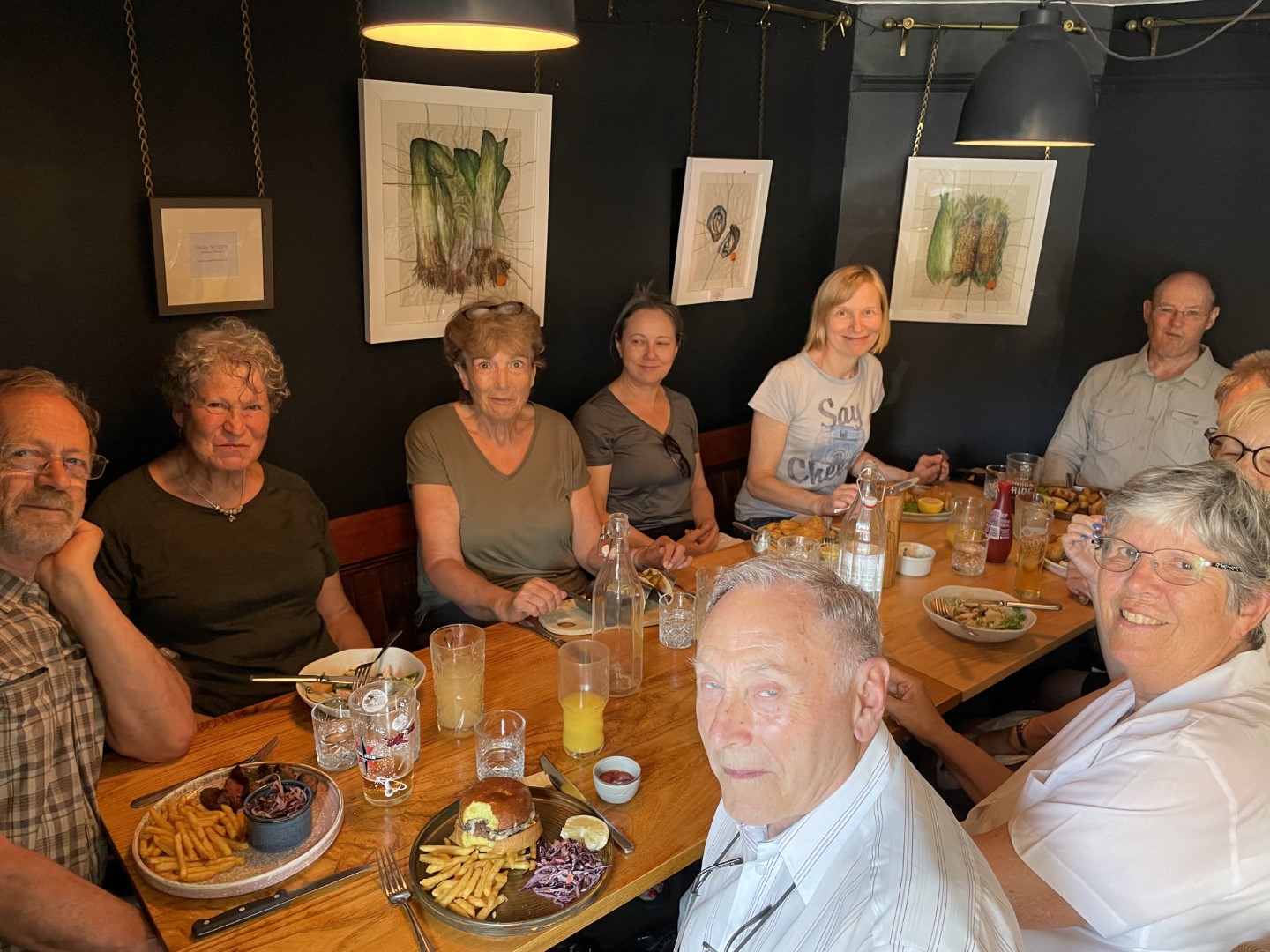
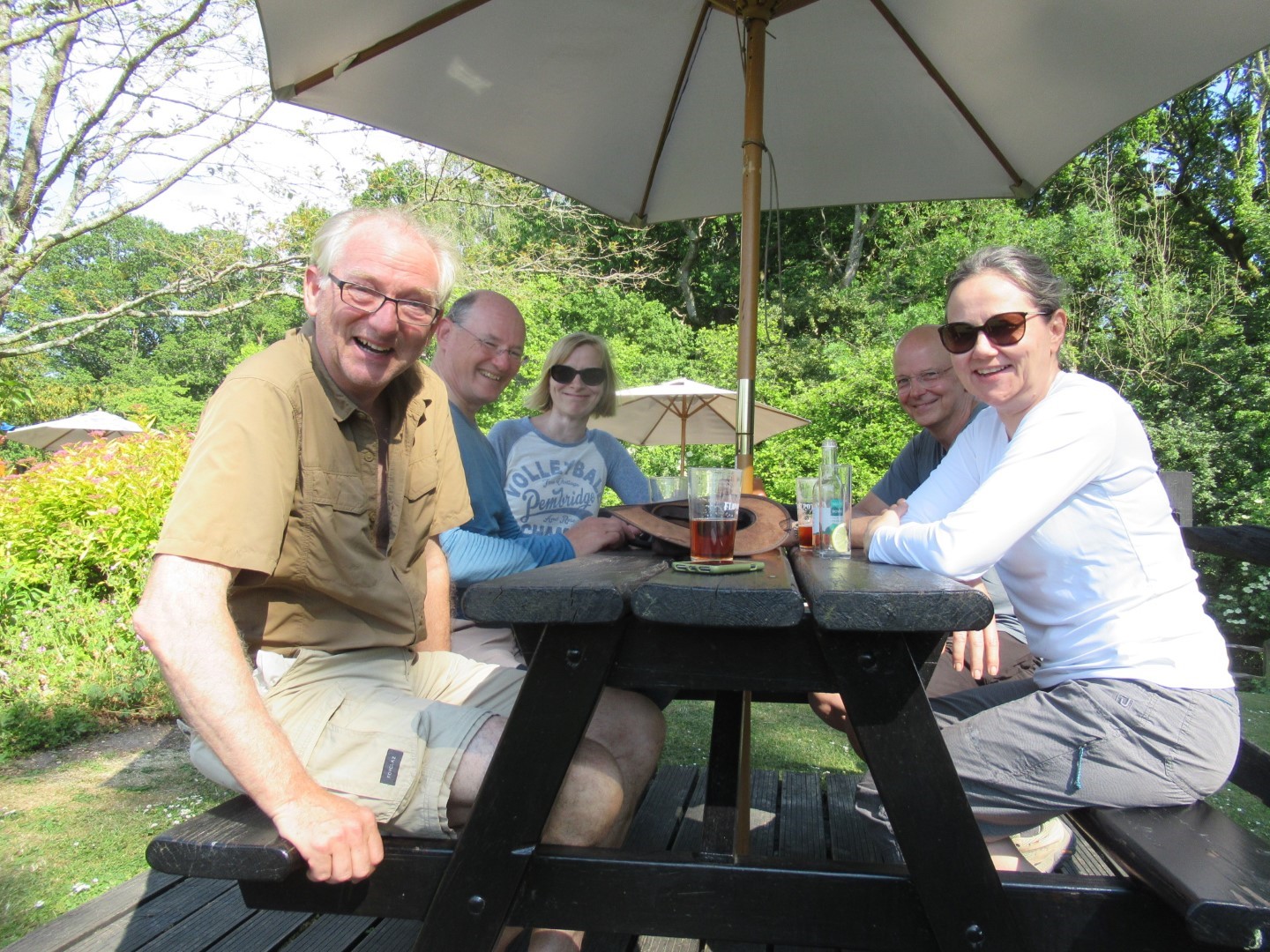
and a great lunch
.jpg)
Nice words from Virginia - was she on our walk?
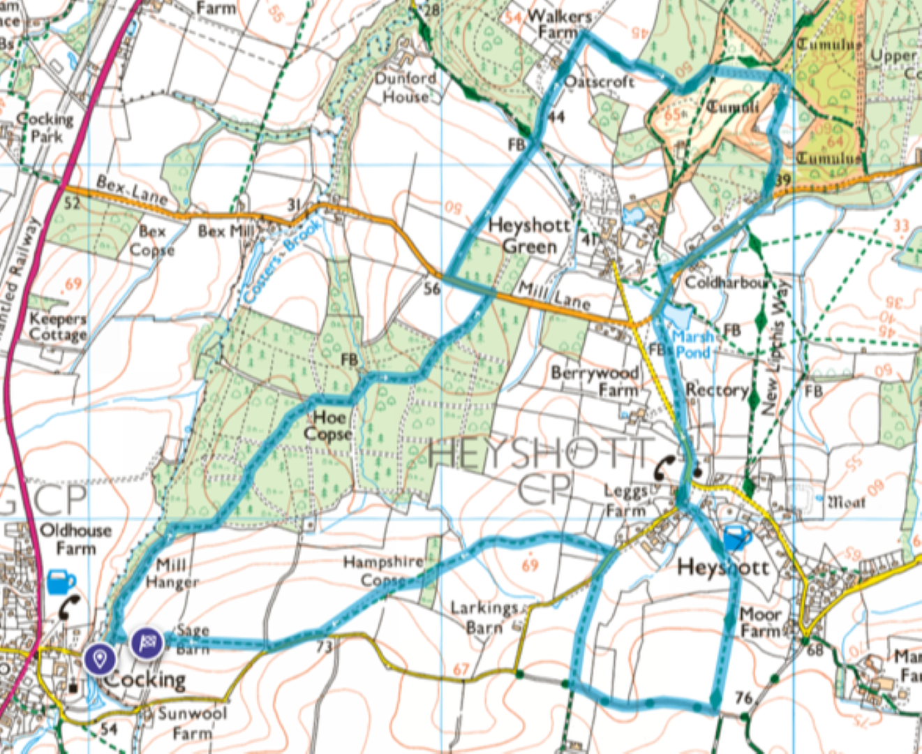
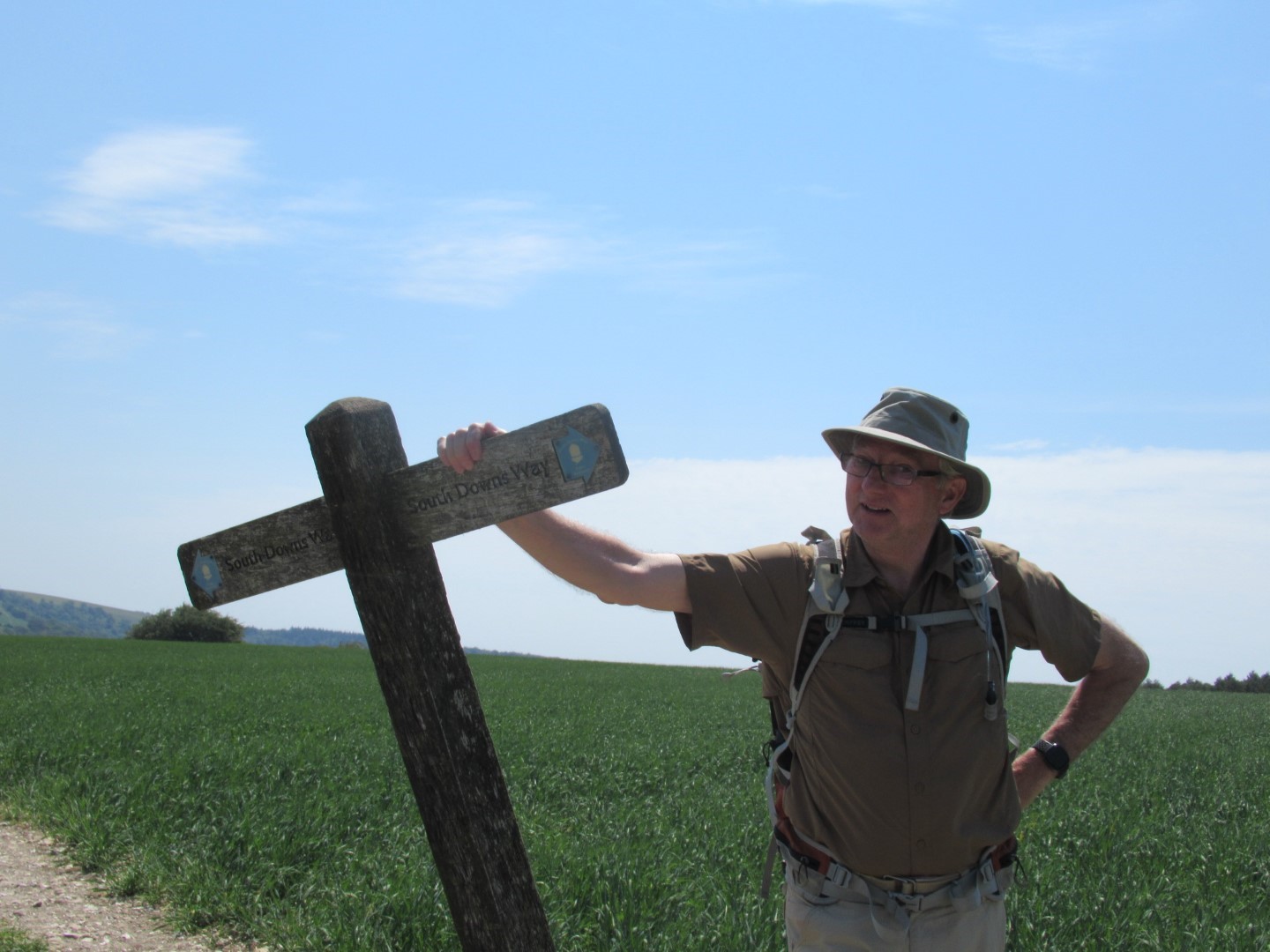
About 5 miles
Walderton walk on the 28th June 2023
The gathering assembled in the car park of The Barley Mow for a quick photo opportunity before Denis lead us westwards to overcome the long gradient of Woodlands Lane/Monarchs Way where a select competition commenced for a pair of rubbish collection athletes, the winner to be determined by the quality of rubbish collected rather than volume or weight. We took a path that lead us closest to Stansted House, which has Carolean revival decor and is listed Grade II*. The site has been visited by Monarchs Henry II, Richard I, John, Edward VI and Elizabeth I who all were keen hunters, luckily, peasants are no longer on the menu so we were safe. After a debate on whether to visit their café for coffee we turned east and found a comfortable log to while away our coffee break. Our excursion for this trip was to Racton Monument, built between 1766 and 1775 for George Montagu-Dunk, 2nd Earl of Halifax, either as a summerhouse for Stansted House or so he could watch his merchant ships dock at the nearby port, Emsworth. According to Country Life, "it has seen illegal raves, ghost hunts, occultists and graffiti, and was, reputedly, a 19th-century brothel". Local lore suggests "spectral sightings that include flying bricks, faces in windows and a ghost tractor that drives up behind you, then disappears. Needless to say, we were spectrally disappointed! However, the rubbish pickings were extensive. The return to Walderton took us past Lordington House and a swing, through parched fields so we arrived back in the Barley Mow in a matched state where we slaked our thirsts and thoroughly enjoyed our lunches. Lindsay was deemed to have collected the best possible quality detritus and was awarded a suitable prize.
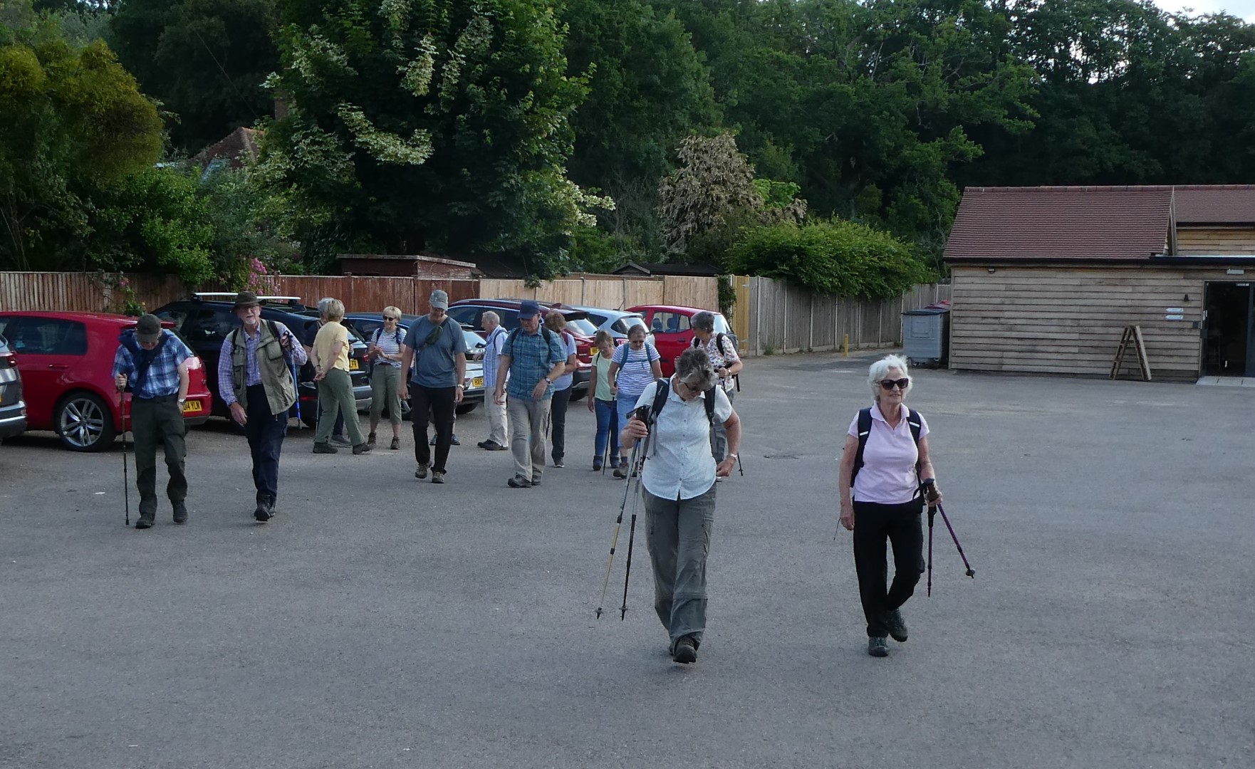
The call to arms, or feet in this case
Up the hill and through a hedge
Good job peasants are off the menu now
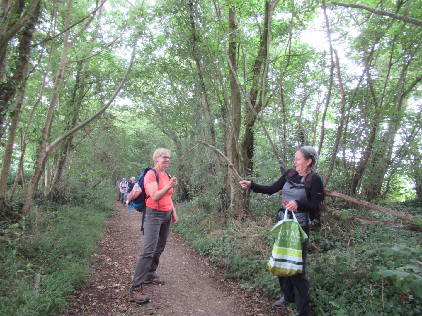
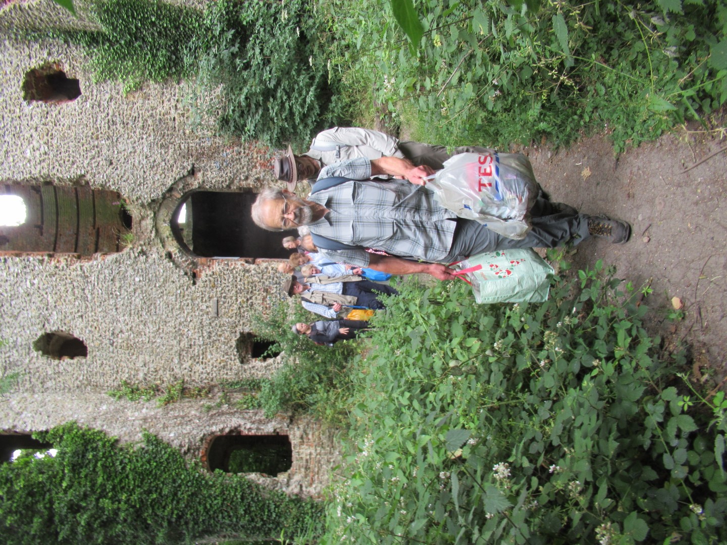
The gardening team clearing the path
Luckily not everyone has seen the classic film "The Day of the Triffids". That would wipe away that smile!
Three modern wise men, the guiding star is mobile
Coffee break
‘King, Queen, Jack….attack’. Reliving childhood pastimes
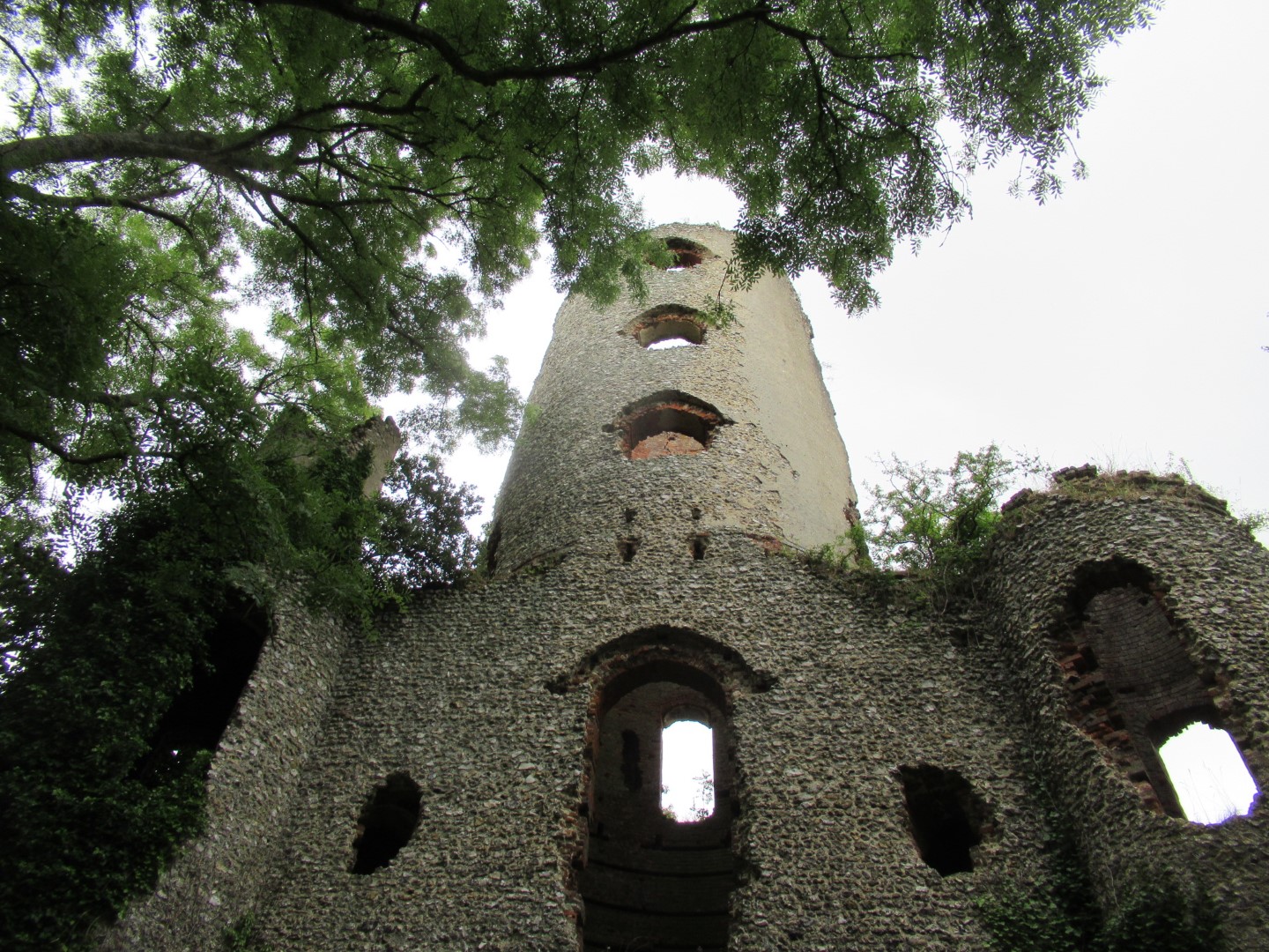
Racton Monument
The Racton Selfie
Think I’m the best rubbish athlete
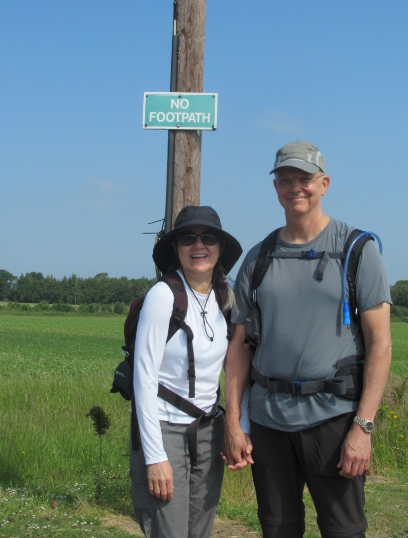
We’ve got our summer outfits on
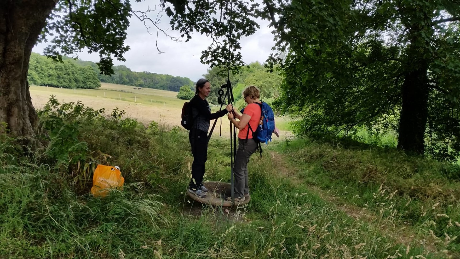
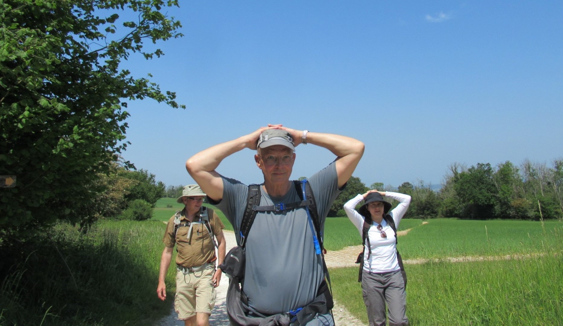
So what happens now?

Tim happens
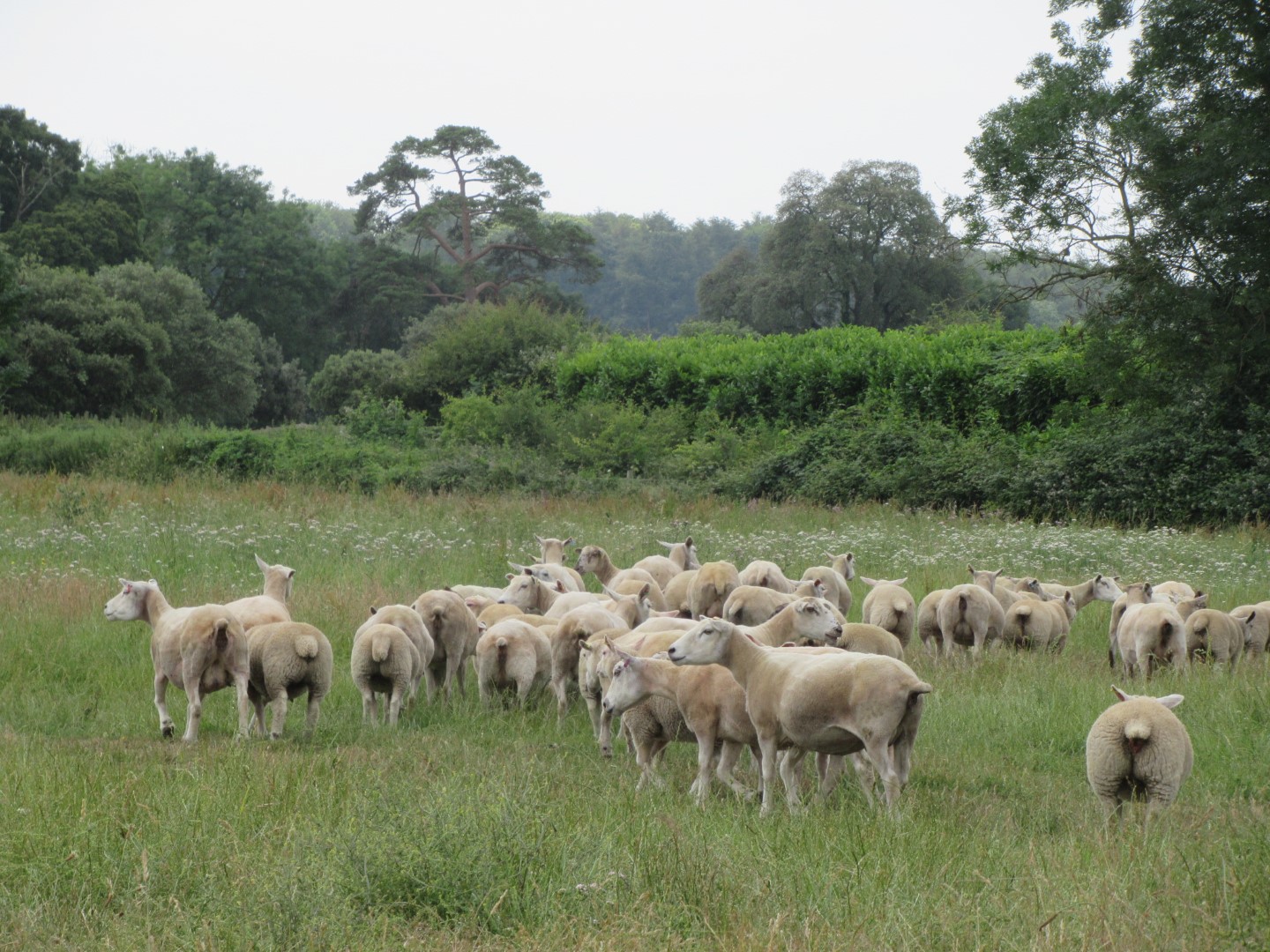
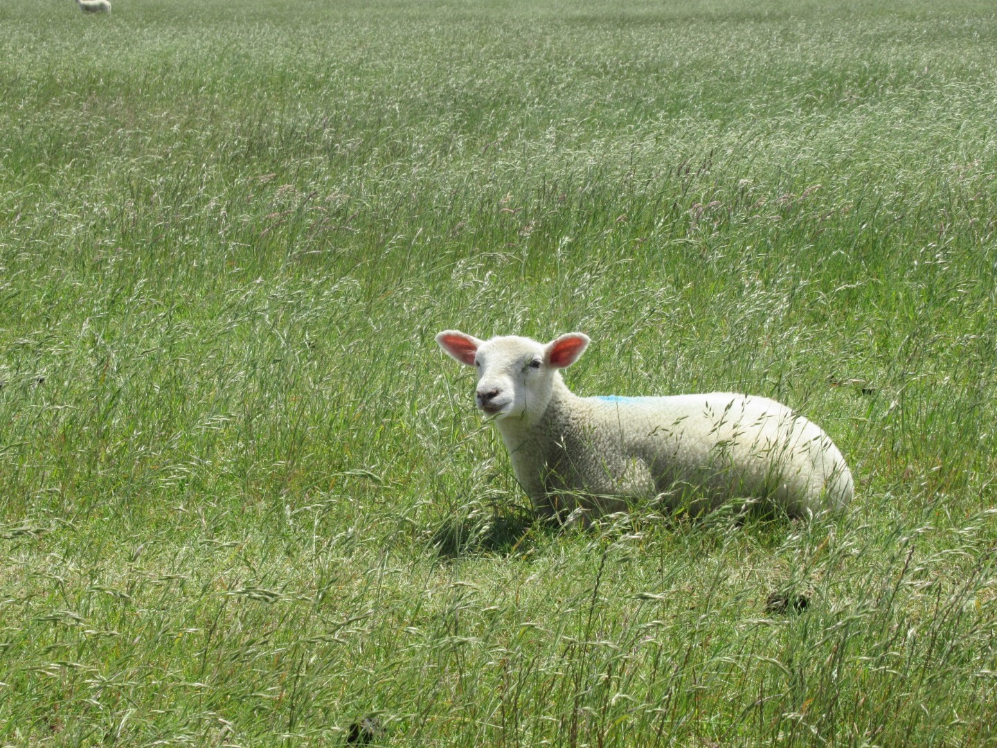
A parched walk across parched meadow
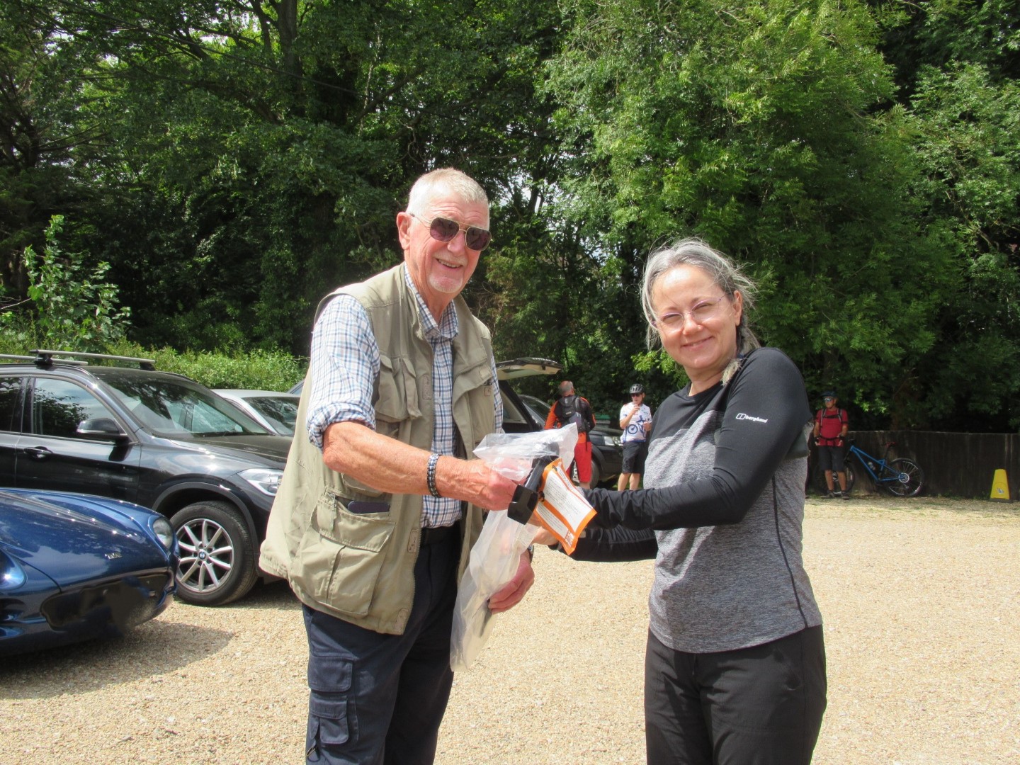
And prize for best detritus athlete presented by our walk leader
.png)
A little over 5 miles
Fernhurst Furnace walk on 21st June 2023
Leaving the excellent Fernhurst Playing Fields, we set out along Vann Road as far as the building that used to be the Fernhurst Primitive Methodist Chapel, now a private house. We then turned left down Hawksfold Lane East, eventually passing Lower Hawksfold. After battling through some undergrowth and ferns, most of us took a sharp turn right along a field edge to reach Furnace Wood. This eventually led to Furnace Pond, which is one of the best preserved sites of its type in south-east England. The Pond was the source of water to power the water wheel which worked the bellows to heat the furnace sufficiently to melt iron ore. Iron making was taking place from the 16th to the 18th Century throughout the Weald and it is said that this was the start of the Industrial Revolution. Iron manufacture in southern England only stopped when coke was developed as a much hotter fuel in the north of England. The whole area has many hard chips of slag in the ground, a by-product of the furnace process. After a drinks break we headed up towards the buildings of Lower Lodge Candles and then along the road until we turned into Oakreeds Wood, taking the high path across several stiles back to the bottom of Fridays Hill. Crossing the road into Hogs Hill, we had an easy walk down to the Red Lion for a good lunch.
Starting out
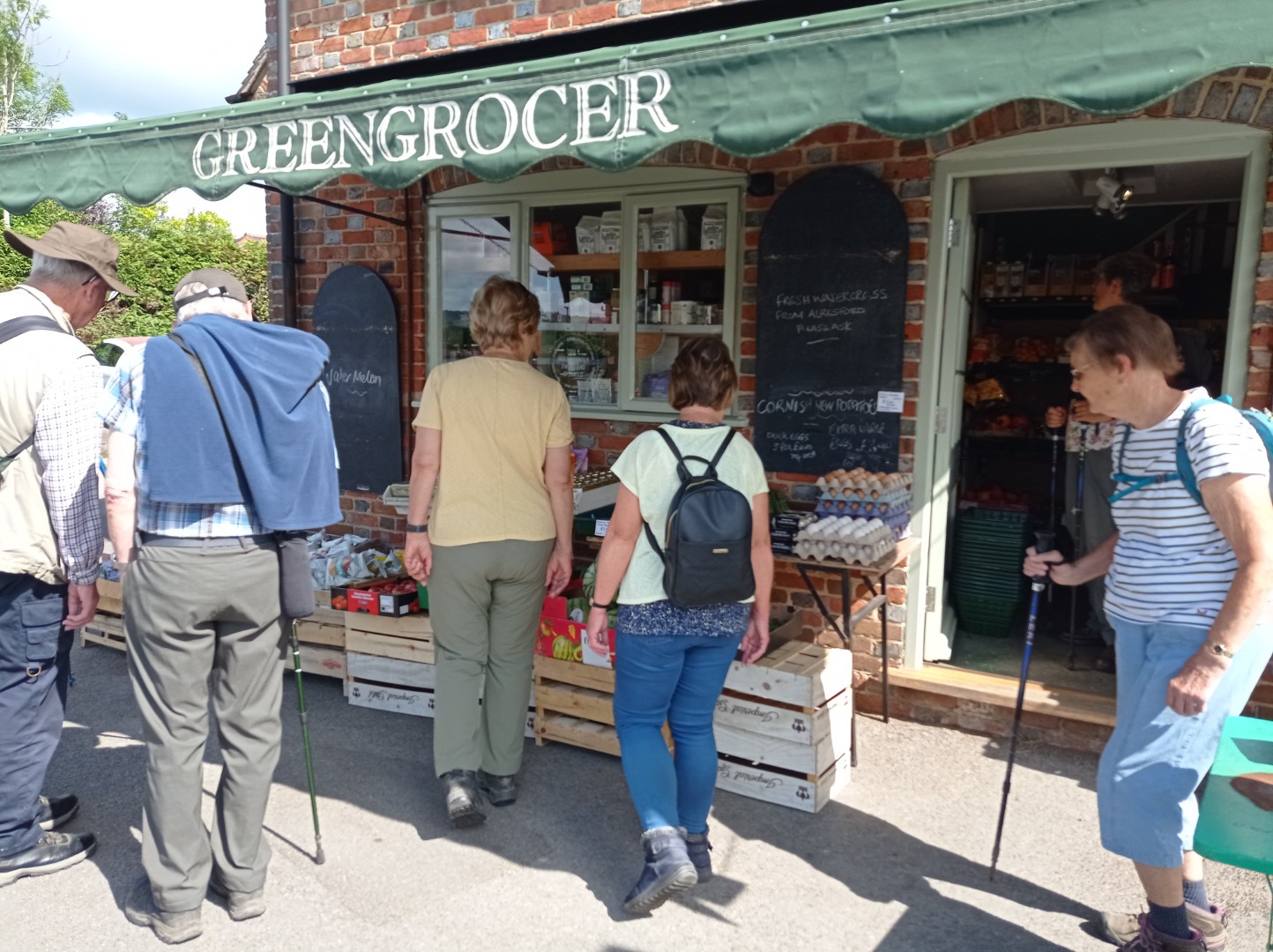
Many temptations in the Greengrocers
Just turning down Hawksfold Lane
Lower Hawksfold is around the corner (plus a stream or two!)
Orchid with a small visitor

The stiles came much later in our walk
You can go that way, but we're going this way!
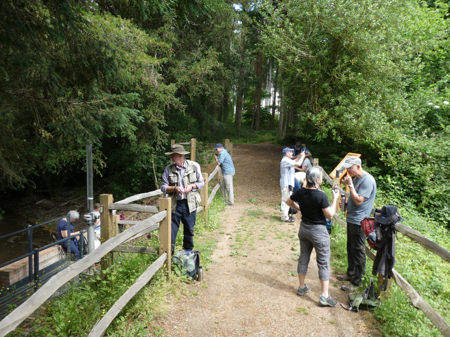
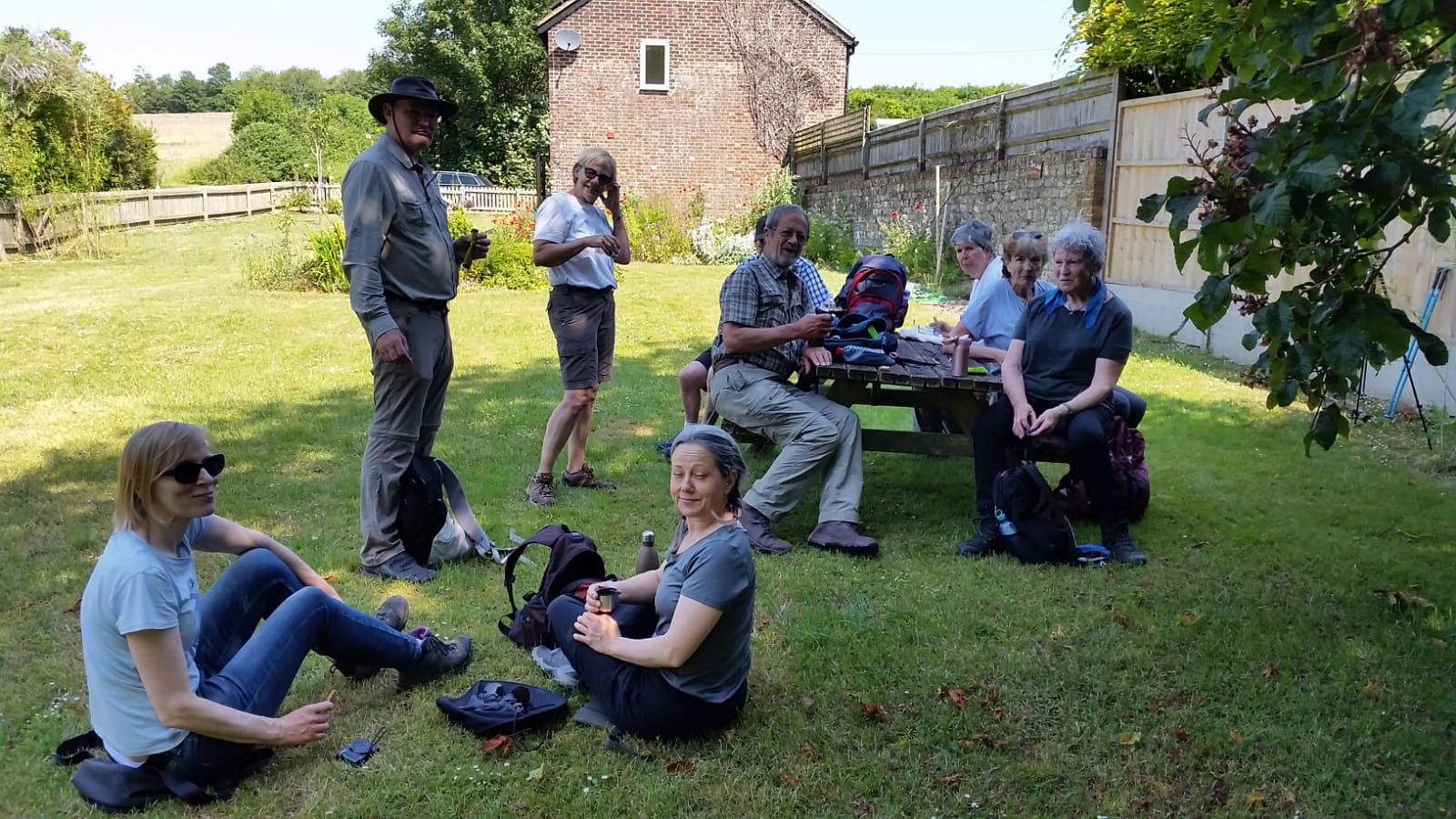
At last, time for a drink
Plenty of sights, but few seats on this stop
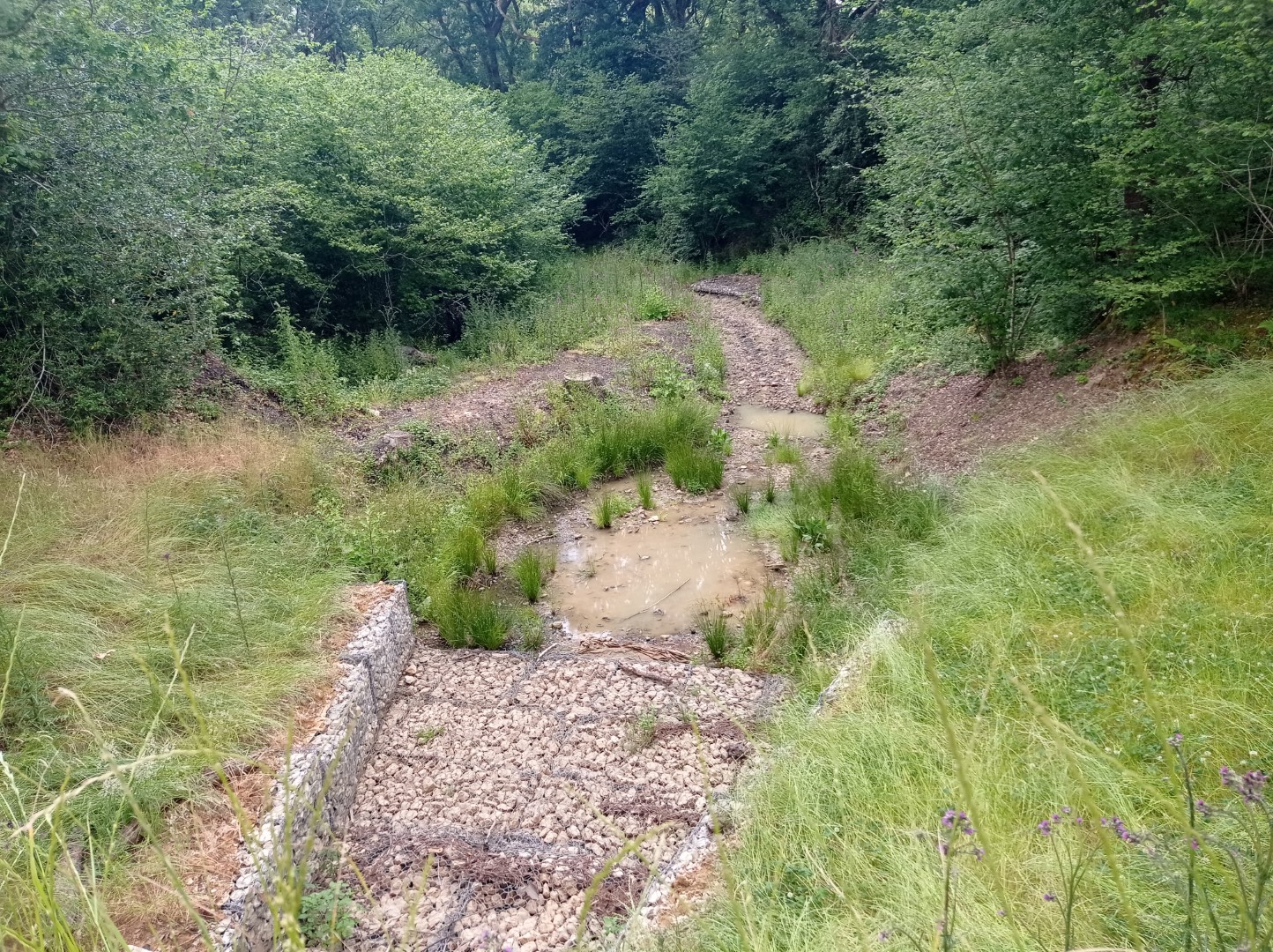
Overflow sluice at the Fernhurst furnace site
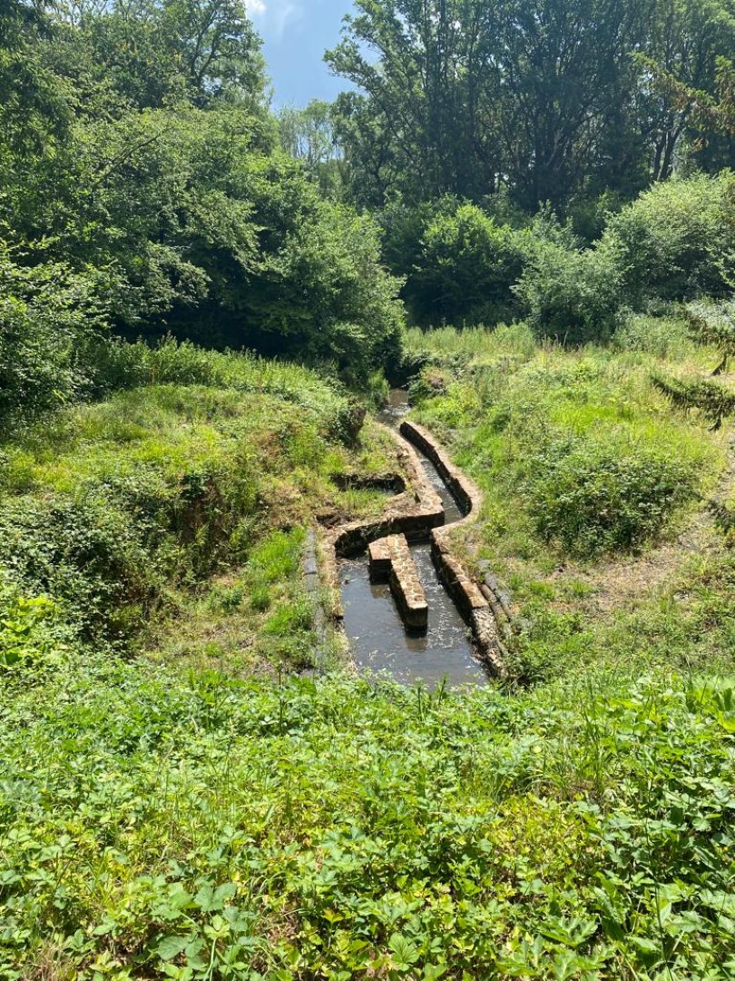
For 200/300 years this was one of the busiest iron manufacturing sites in the county
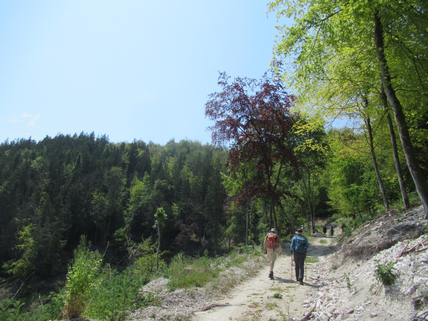
Tramping through Oakreeds Wood
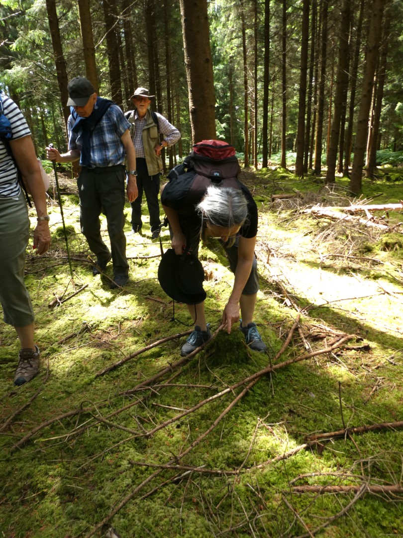
Some things need a careful study
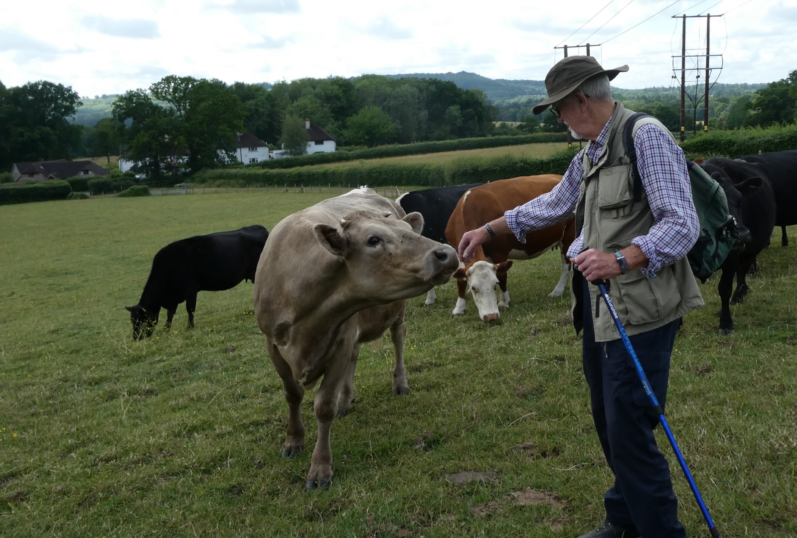
Just saying Hi!
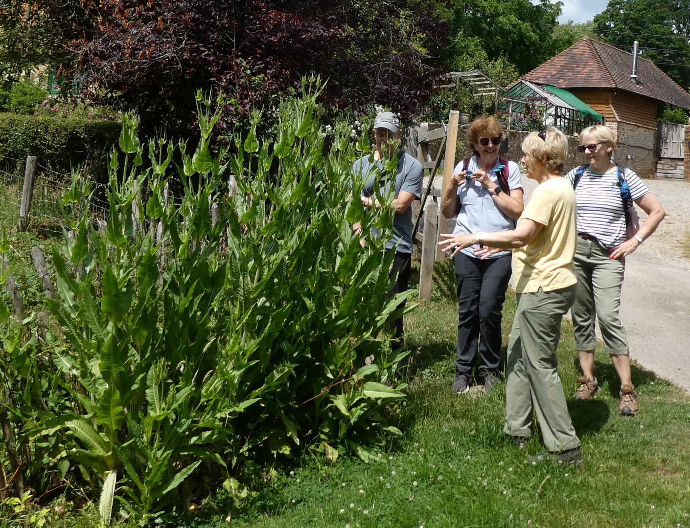
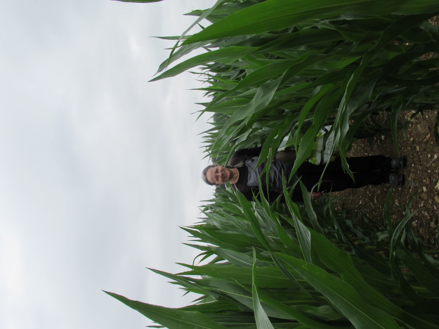
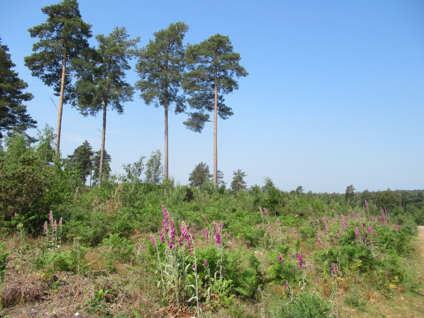
An excellent crop of teasel

Red Lion at last
.png)
About 4.1/2 miles
Chawton Walk on 14th June 2023
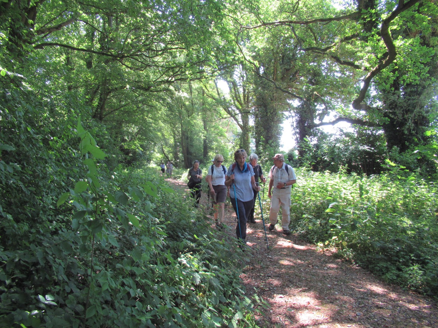
Kathryn and Geoff led the 5.5 mile walk following some of the footsteps of Jane Austen and her family starting in Chawton, Hampshire. Passing a duck themed thatched roof we turned down the drive to Chawton House, the 400-year-old Grade II* listed Elizabethan manor house that once belonged to Jane Austen's brother and its neighbour, St Nicholas' Church. The church suffered a disastrous fire in 1871 which destroyed all but the chancel. The rebuilt church was designed by Sir Arthur Blomfield and is now listed Grade 2*. The churchyard graves include that of Jane Austen's mother and sister, both called Cassandra The heat and sun was braved by all as we crossed the meadows and fields, enjoying the brief respites afforded by the woodland heading to Farringdon. An early coffee stop in the Farringdon communal garden spurred on the gardeners amongst us on and elicited a solo impromptu fairy dance on the way out. Reminiscences of standing in the hollowed centres of the ancient hallowed Yew in All Saints churchyard were mixed with debates about the uses for Massey's Folly, an imposing but eccentric building with towers and battlements built by another curate of Farringdon, Rev. T.H. Massey. We admired the commemoration tree and round seat for King Charles III coronation. A circuit of the picturesque village of Upper Farrington brought us back to our coffee stop where we turned west, over the main road, down the steep steps onto the disused Meon Valley Railway that was opened in 1903 and closed in 1968. We walked under a bridge, across fields and copse, over the main road again to return to Chawton to enjoy a well earned lunch and refreshments at The Greyfriar.
Shady characters
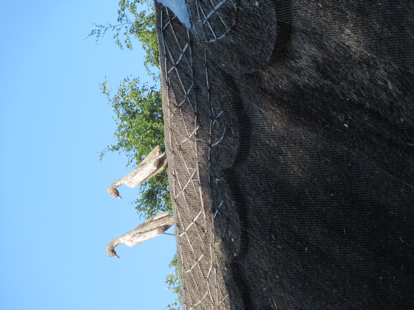
This roof was made for walking
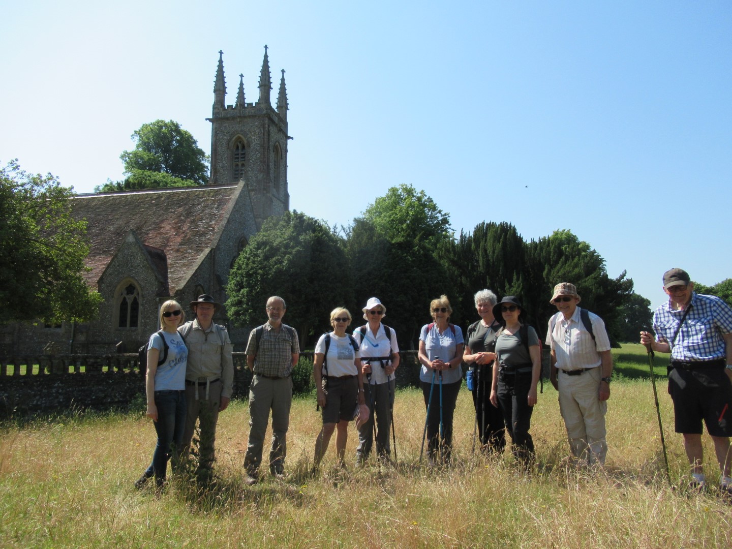
St Nicholas' Church choral ensemble? Perhaps not.
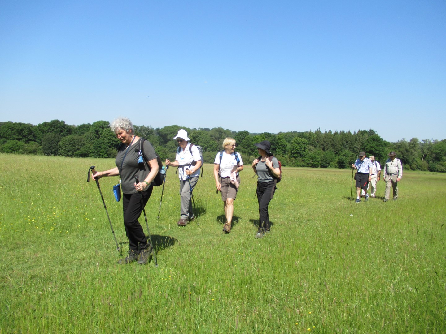
Braving the sun and heat
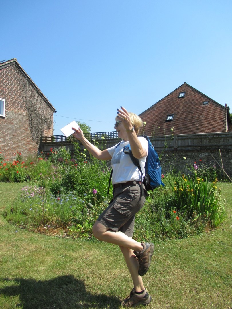
Babes in the wood
Drinks stop in a beautiful setting and in the shade!
We want what was in your coffee
Celebration on the coronation commemoration
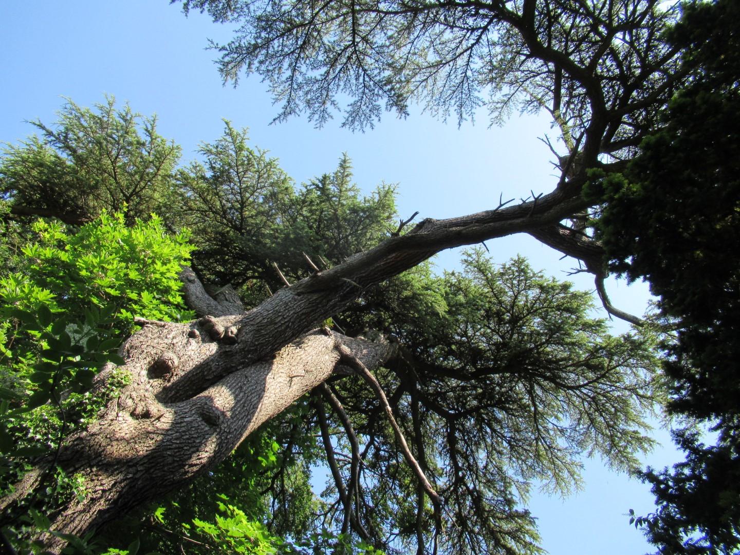
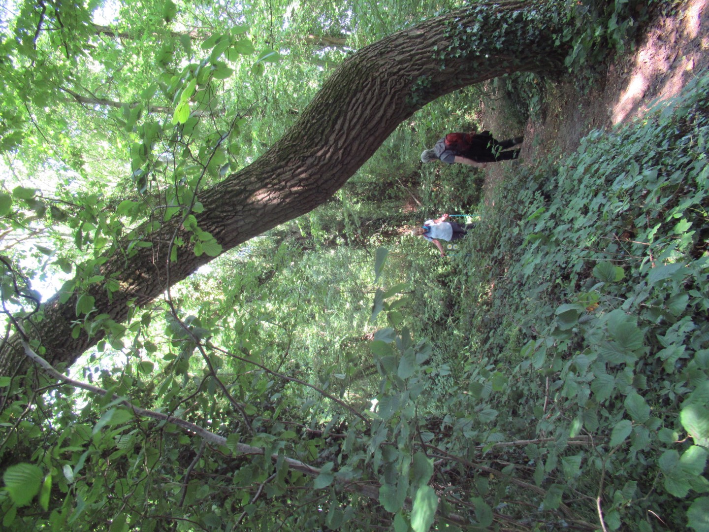
Out on a limb or just branching out?
Reminiscences aplenty as we leave All Saints
Could have sworn there was a railway line somewhere
Lost our train of thought
The Railway Children
The last field before civilisation
The honourable members of the Sir Lunchalot club
.png)
The 5.5 mile route
Duncton Long walk on 9th June 2023
The masochistic five gathered in Duncton for Jay and Lindsay’s 12.7 mile undulating jaunt with a promise of liquid refreshment at the end. At the start we walked the West Sussex Literary Trail to the west of the main road with Jay demonstrating the M. Python technique for stile crossing as we headed towards Ridlington Farm where the signage confused us simple walkers. Following the compacted track through the farm we entered Duncton Common where the trees offered shade from the sun onto the Serpentine Trail, crossing into Lavington Plantation passed one of the Serpentine sculptures as we made our way across the heath. Our coffee break was used to increase the area of exposed legs so we could cool down, and scare the local wildlife. Skirting around Upper Norwood, we came to Lavington Stud Farm. The significant ascent of Woolavington Down where the Ash die back has scarred the landscape got us onto the South Downs Way. Our lunch break was enhanced by the indubitable cerebral development in our understanding of the universe and the English language. The South Downs Way bore us across the main road again, up to Burton Down where we left to approach the transmitter masts at Glatting Beacon. Ticking off the body parts of Scotcher’s Bottom and Denture as we passed, the display of wild Orchids on the path edges and fields added to our enjoyment. The woods at Barlavington Hanger gave respite from the heat of the afternoon including our descent before heading to the Duncton Mill Trout farm. Returning to our start, we adjourned to The Cricketers for cooling refreshments.
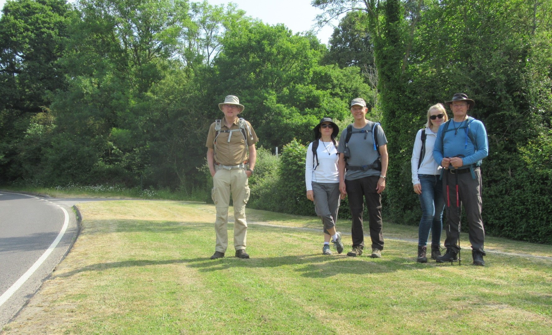
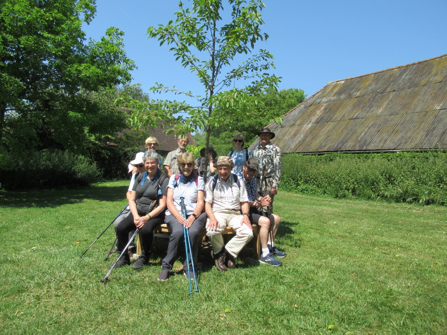
Los cinco amigos
Stile crossing in style
That’s not what the map says!
Crossing the Rubicon?
Lavington Common
I’m telling you that lizard I stepped over was this big
Pole vaulting
The Lavington Down warrior pose
Coffee break
The best leg forward
I think that’s what they call a tree
Heading towards the stud
Heading up Woolavington Down
The cure for sausage fingers?
We surrender
Contemplative lunch
Downhill South Downs Way ahead
In our stride
Ear, ear
We were going round the bend at this point
Ooh, those bare legs are so scary!
Almost there
Orchid fields
We made it!
Recent galleries
- Pagham walk on 15th July 2026
- Earnley on 8th July 2026
- Kingley Vale on 1st July 2026
- Elsted walk on 17th June 2026
- Heyshott Walk on 10th June 2026
History
2026
2025
- December (3)
- November (4)
- October (5)
- September (4)
- August (4)
- July (5)
- June (4)
- May (5)
- April (4)
- March (5)
- February (3)
- January (4)
2024
- December (3)
- November (5)
- October (4)
- September (4)
- August (4)
- July (4)
- June (5)
- May (5)
- April (5)
- March (5)
- February (5)
- January (4)
2023
- December (3)
- November (6)
- October (5)
- September (5)
- August (3)
- July (4)
- June (6)
- May (5)
- April (4)
- March (5)
- February (4)
- January (4)
2022
- December (4)
- November (5)
- October (5)
- September (3)
- August (4)
- July (6)
- June (11)
- May (4)
- April (5)
- March (4)
- February (5)
- January (4)
2021
2020
- December (4)
- November (1)
- October (5)
- September (4)
- August (3)
- July (3)
- March (2)
- February (5)
- January (3)
2019
- December (2)
- November (5)
- October (4)
- September (3)
- August (4)
- July (4)
- June (11)
- May (5)
- April (4)
- March (3)
- February (5)
- January (5)
2018
- December (2)
- November (4)
- October (4)
- September (5)
- August (4)
- July (3)
- June (5)
- May (8)
- April (4)
- March (4)
- February (5)
- January (3)
2017
- December (3)
- November (5)
- October (3)
- September (4)
- August (4)
- July (4)
- June (11)
- May (4)
- April (4)
- March (3)
- February (4)
- January (5)
2016
- December (3)
- November (4)
- October (5)
- September (4)
- August (3)
- July (6)
- June (11)
- May (4)
- April (5)
- March (3)
- February (10)
- January (2)
2015
2014
- June (2)
1997
- February (1)