Gallery (Click on titles!)
-
Walderton walk on 9th November 2022
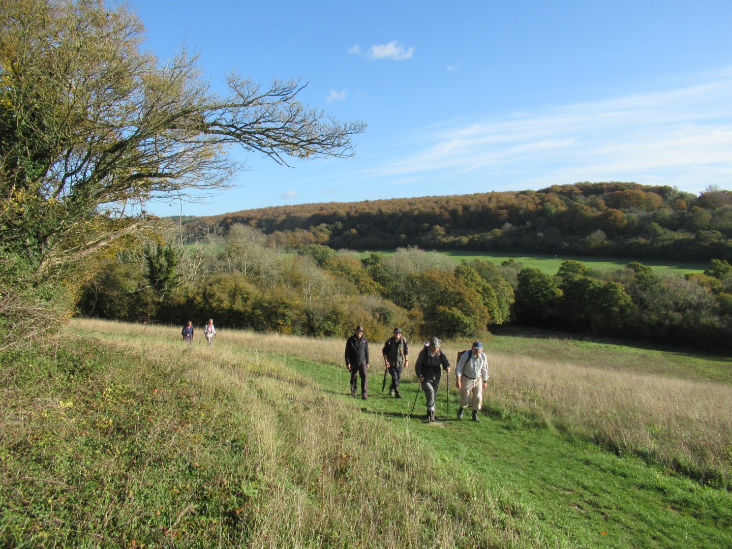
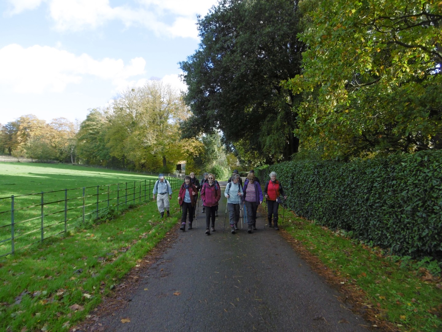
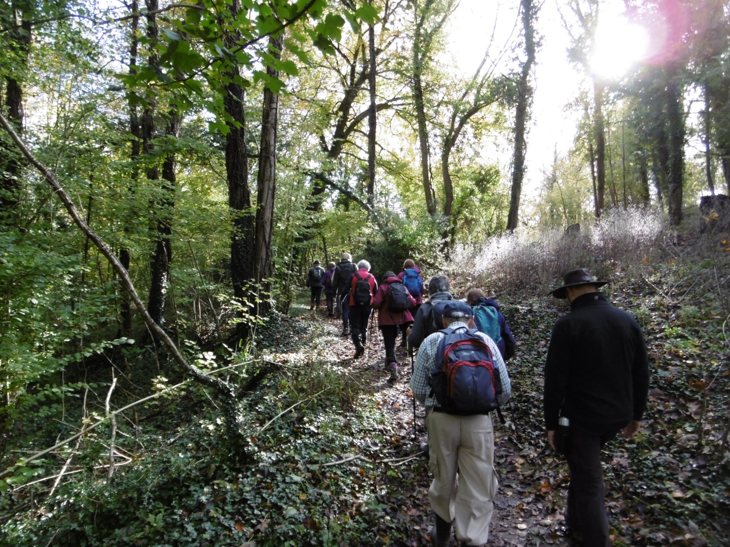
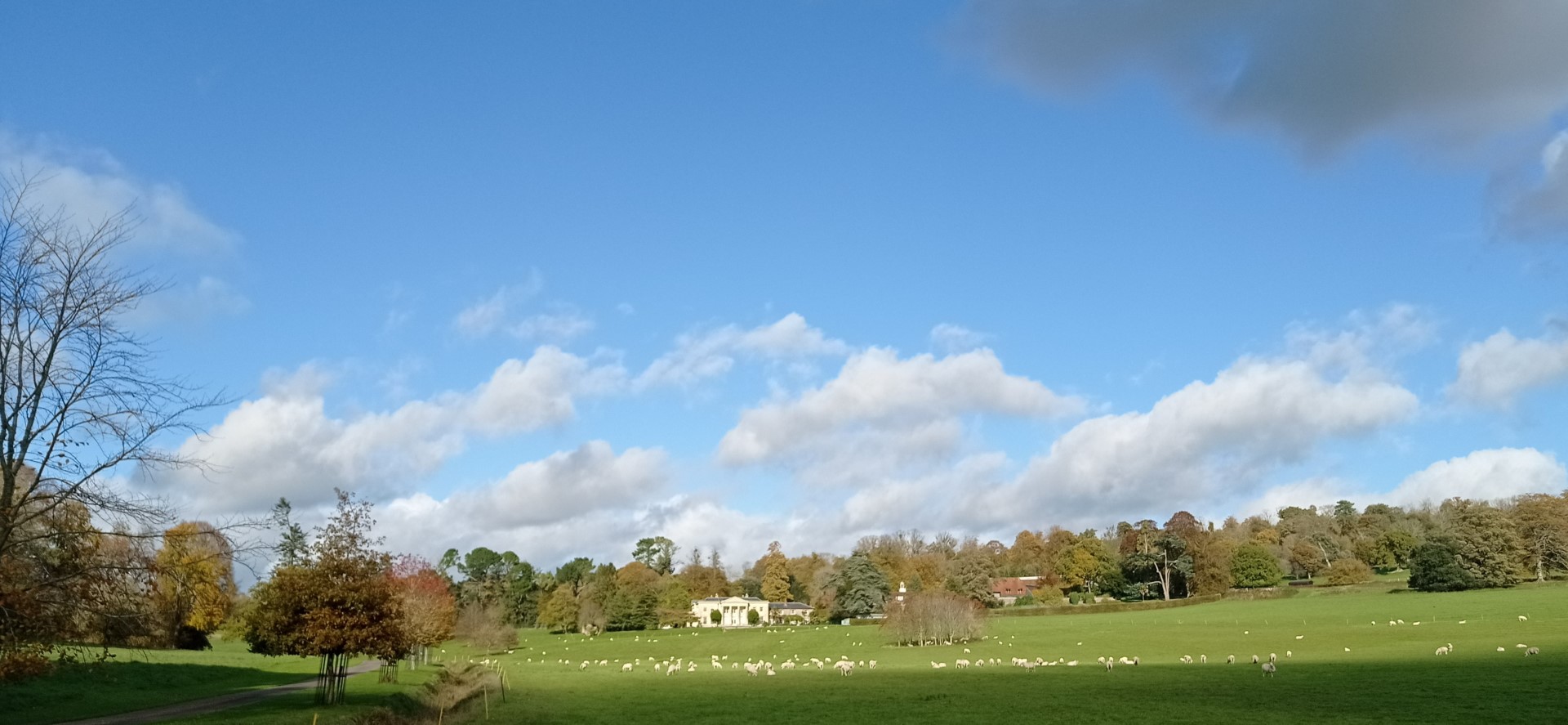
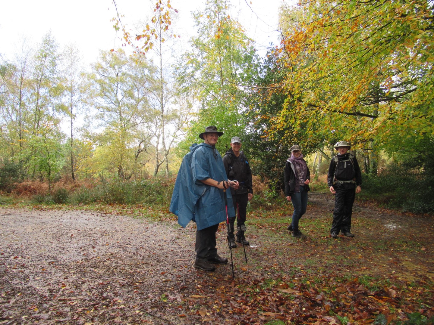
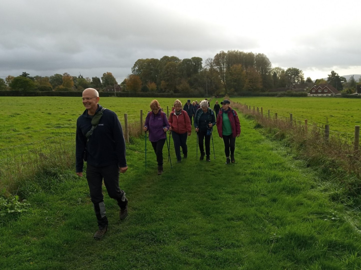
Denis started his walk from the car park of The Barley Mow in Walderton village. The roads to reach the walk had been flooded in many areas from overnight rain but the weather was now clear and bright. After a bit of road walking to avoid some muddy spots, we headed towards Manor Farm and then eventually turned onto the Monarch's Way towards Inholmes Wood. Once in the wood we turned down towards Piglegged Row before climbing up again, hoping for a break on a nicely placed bench. However we had been beaten to it so we carried on to another rest spot, which turned out to be much better! This was above the Watergate Estate. With a view over towards Hayling Harbour and the sea, we could just about see the Isle of Wight. A large object seemed to be in the sea and the general conclusion was that it was probably a container ship (later sleuthing showed it was probably "Ever Lucky" a container ship capable of carrying over 100,000 tons, on its way to Amsterdam from Southampton). Once refreshed we passed behind Watergate House and on into Watergate Hanger before turning into Watergate Park for a final stroll into the village and a welcoming Barley Mow. The walk was about 4.1/2miles.
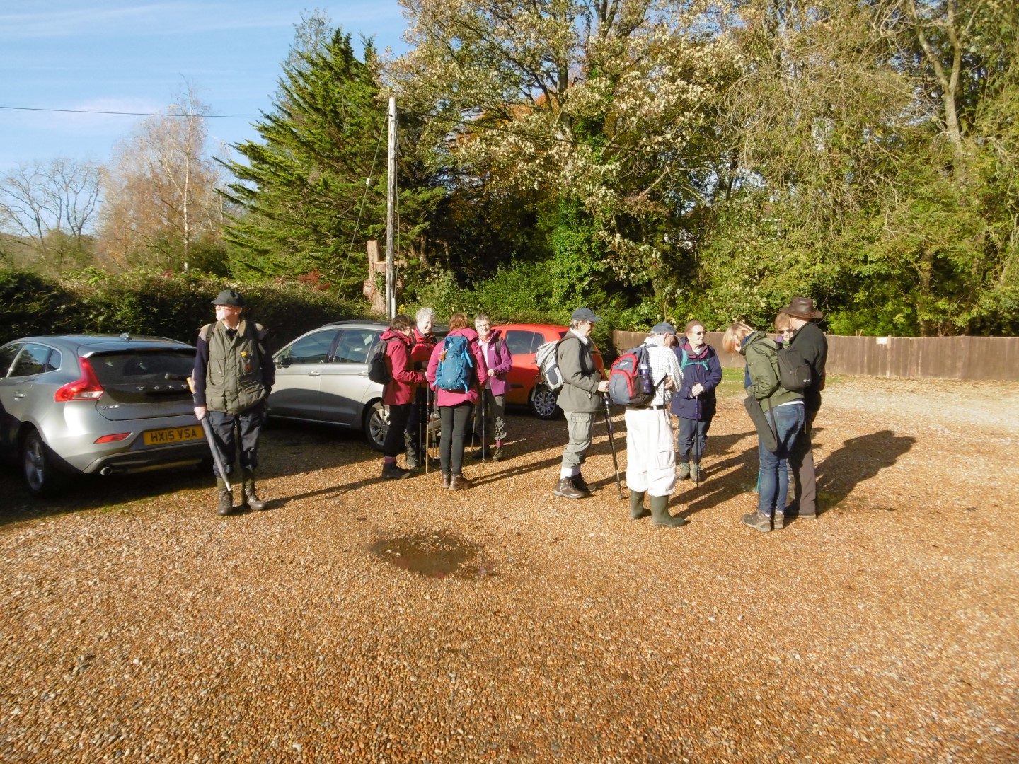
Car park assembly
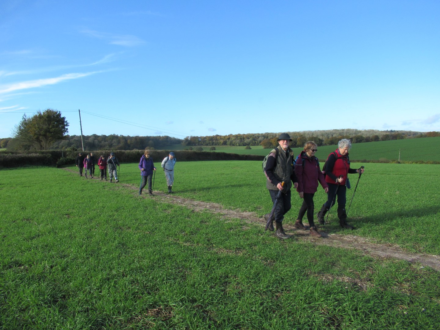
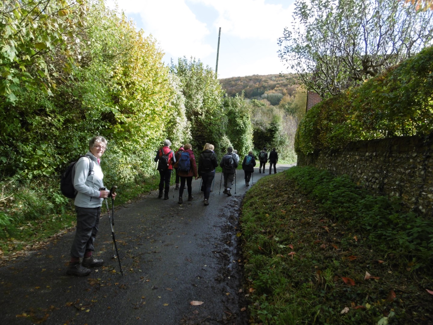
Heading up Monarchs way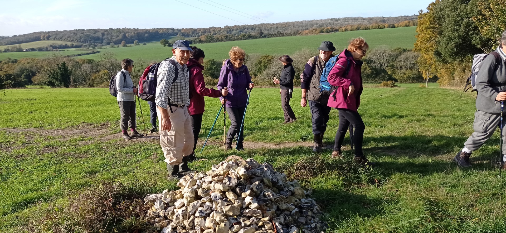
Stone cairn with half a horseshoe on top - there must be some luck in there?
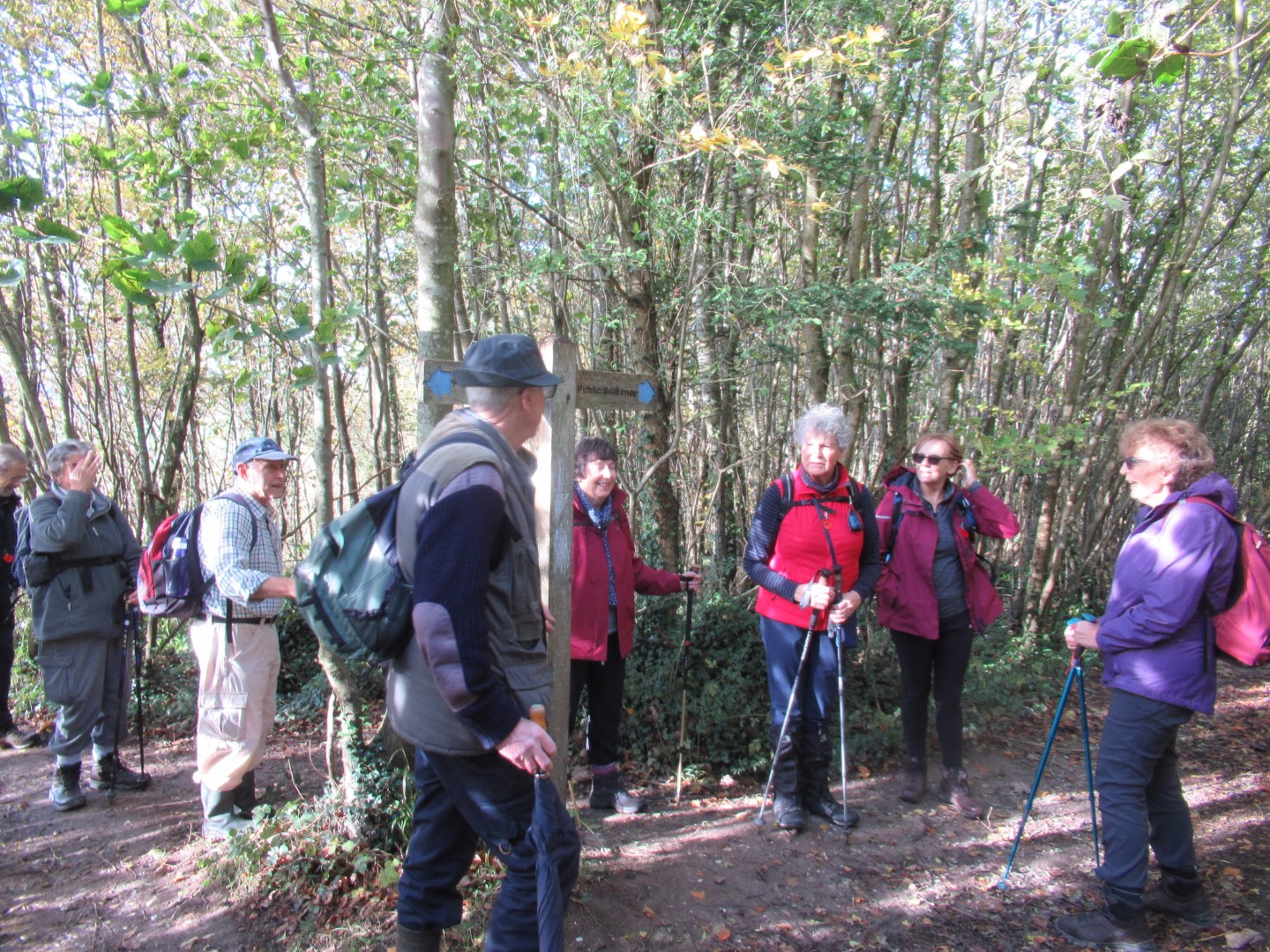
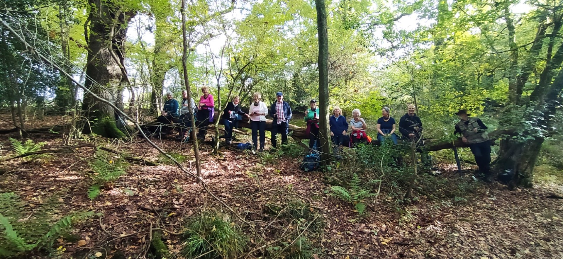
Inholmes Wood
Just above Piglegged Row
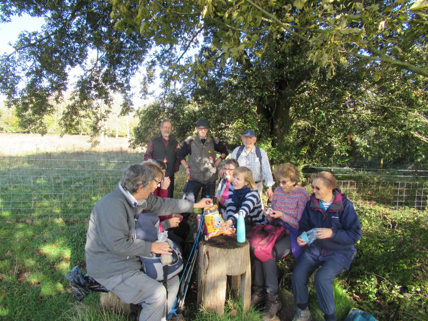
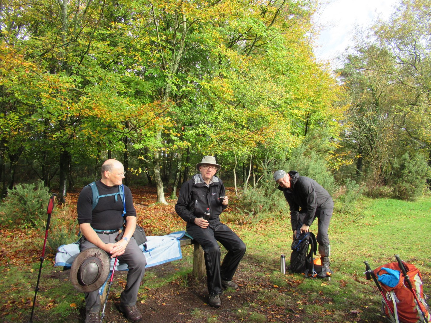
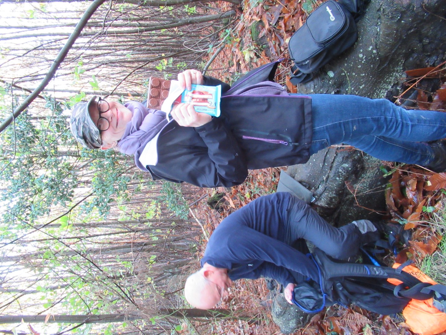
Coffee stop at last - and bonus sweeties!
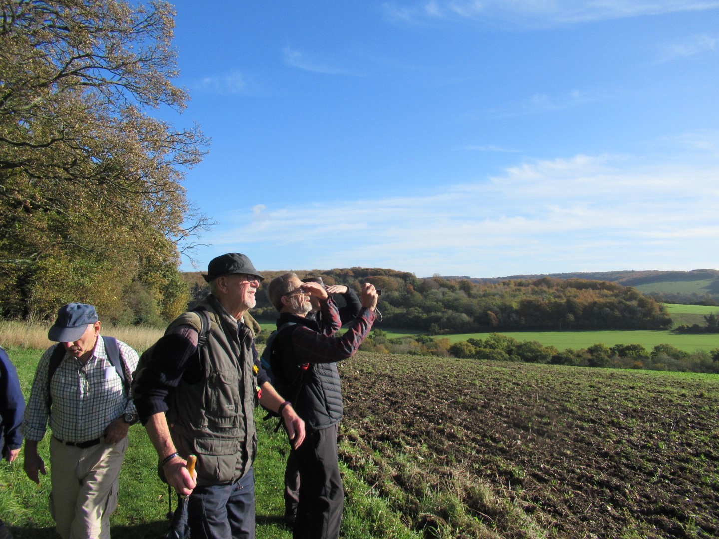
"So, what is that dark blob out on the sea?"
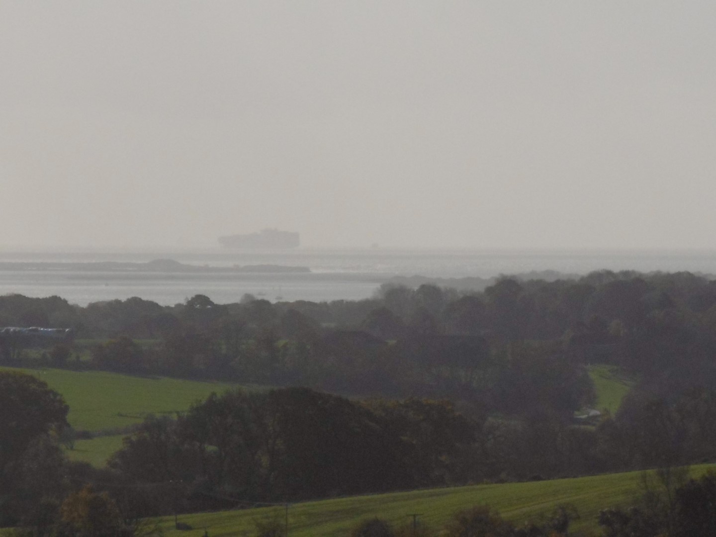
Probably a container ship on its way to Amsterdam
Drive at the back of Watergate House
Watergate Hanger
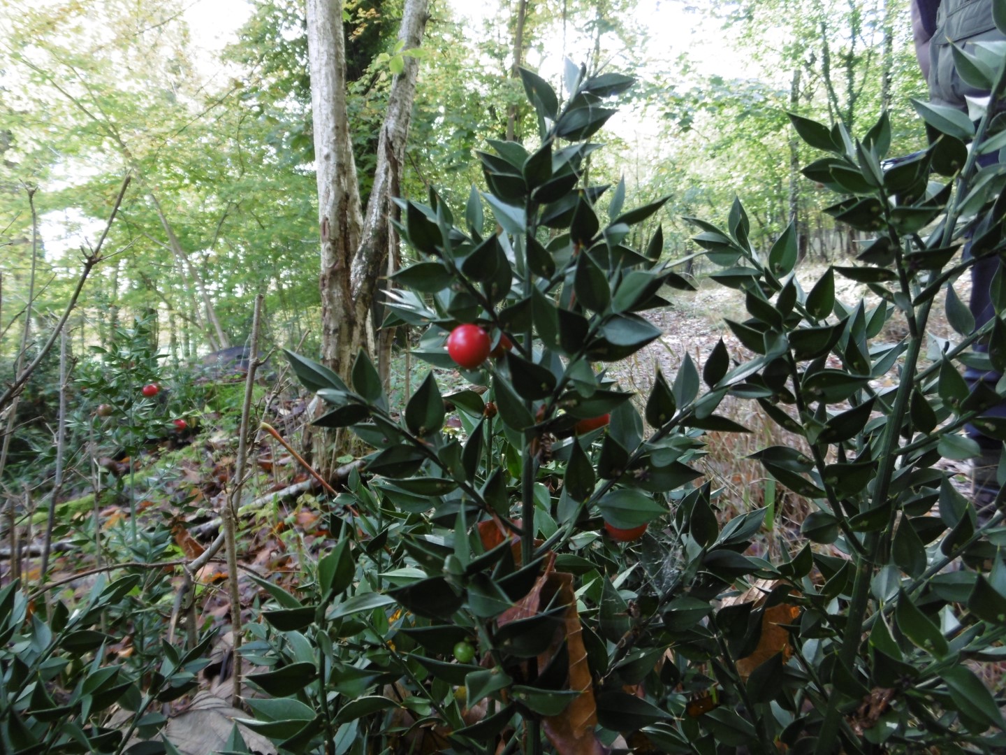
Butcher's broom - historically used to sweep down butchers boards with its tough foliage. Berries are poisonous.
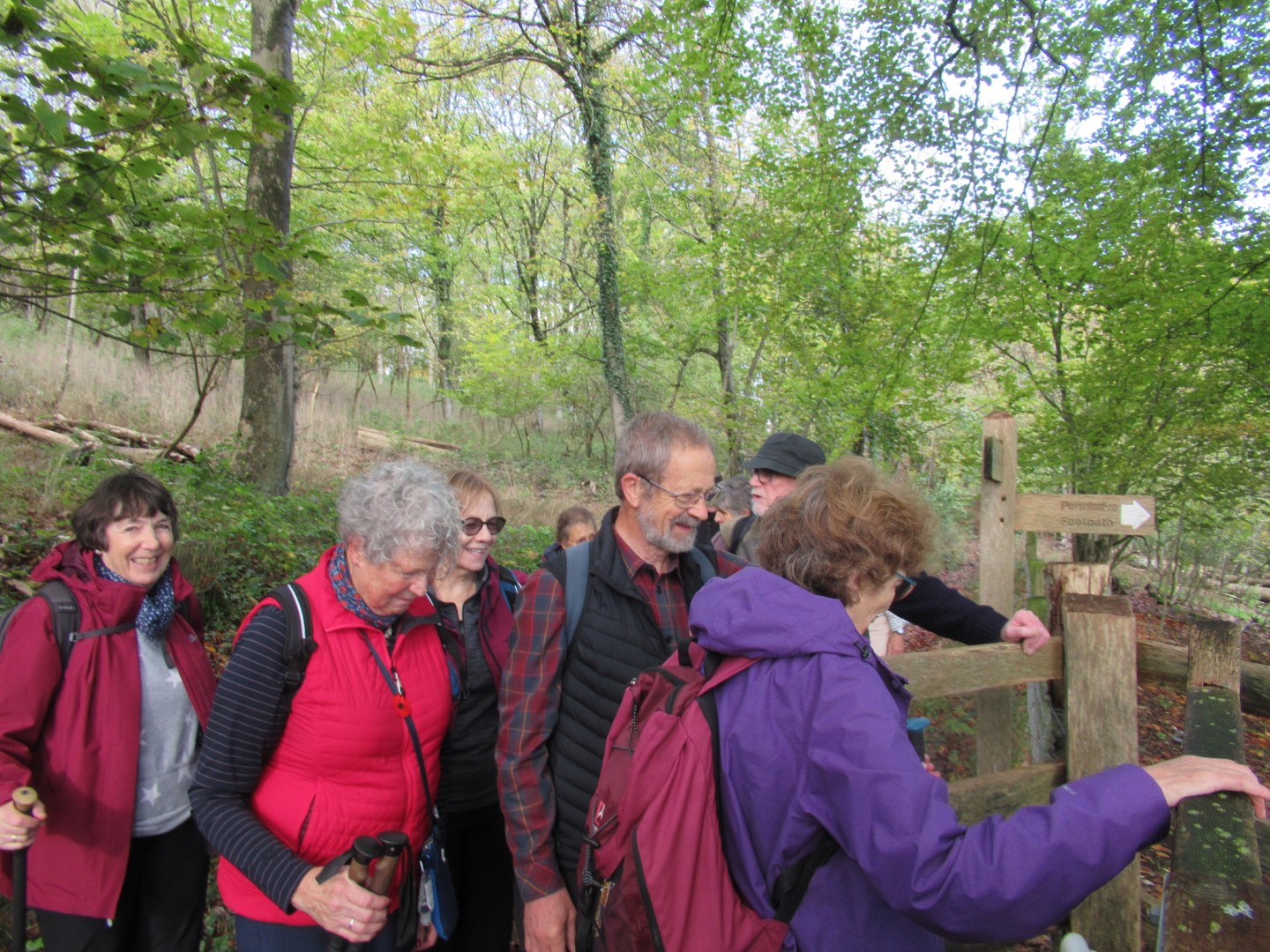
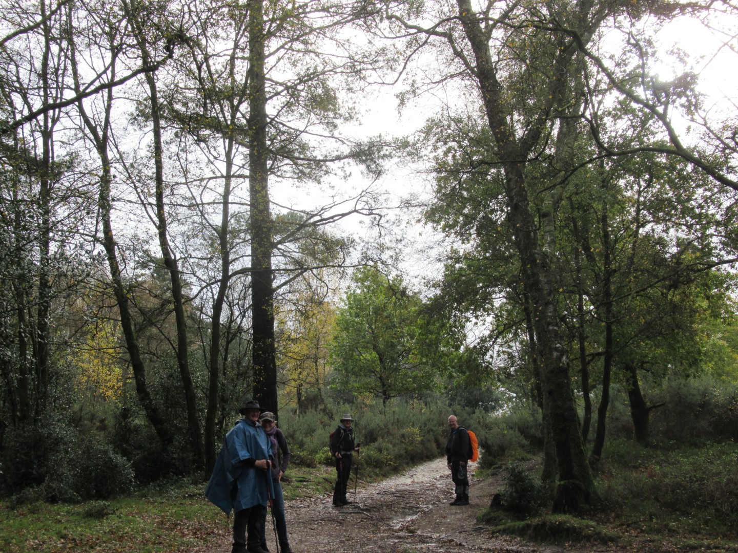
Crowding at the gate
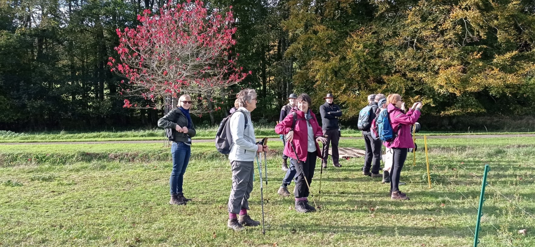
"What's so interesting?"
Watergate House, once the residence of John White. His father was a slave owner in
St Kitts and in his will he left annuities of £10 p.a. to '"two mulatto women named Sarah
and Frances whom I made free before I left St Christopher's(St Kitts)" He also
"declared his enslaved people 'heirlooms', so that they could not be sold"
We quickly made our escape before enslavement and headed for the pub.
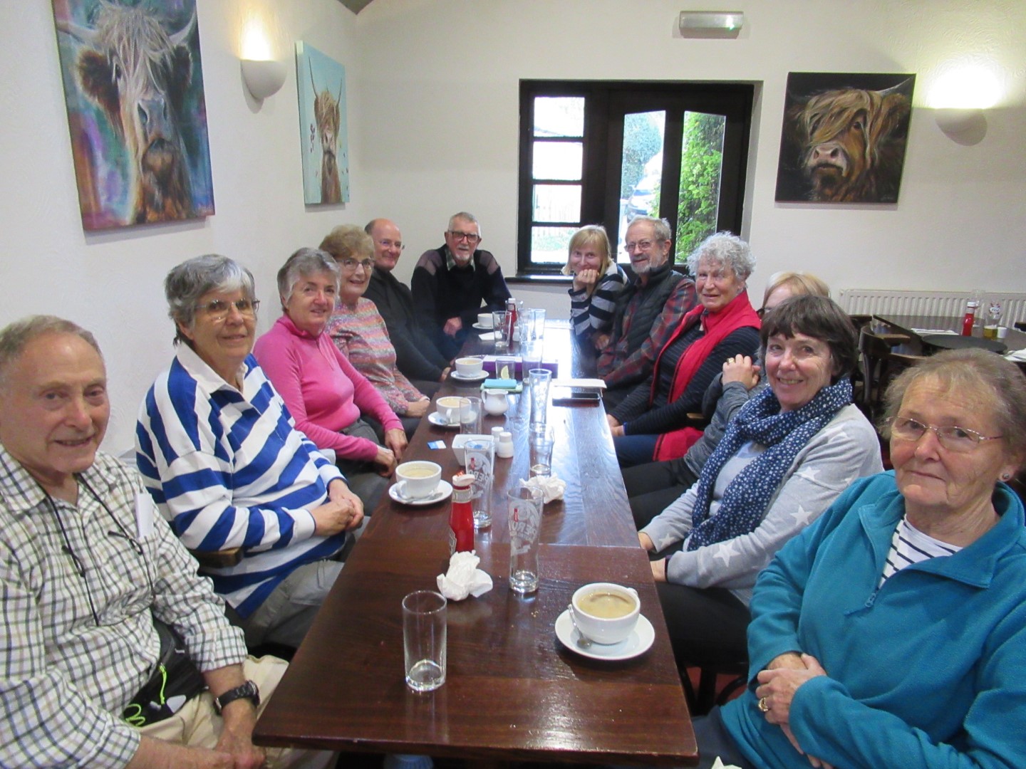
Well fed and watered after about 4.1/4 miles
.png)
Five Hills long walk on 8th November 2022
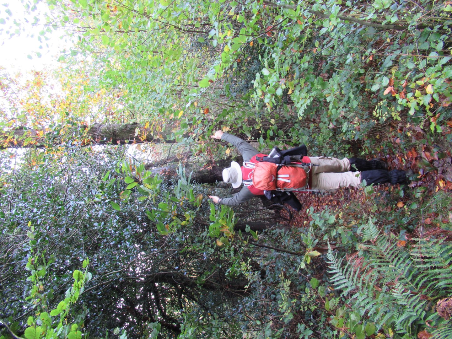
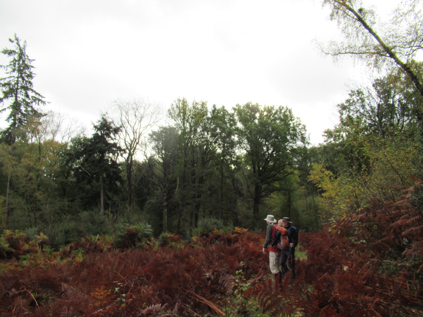
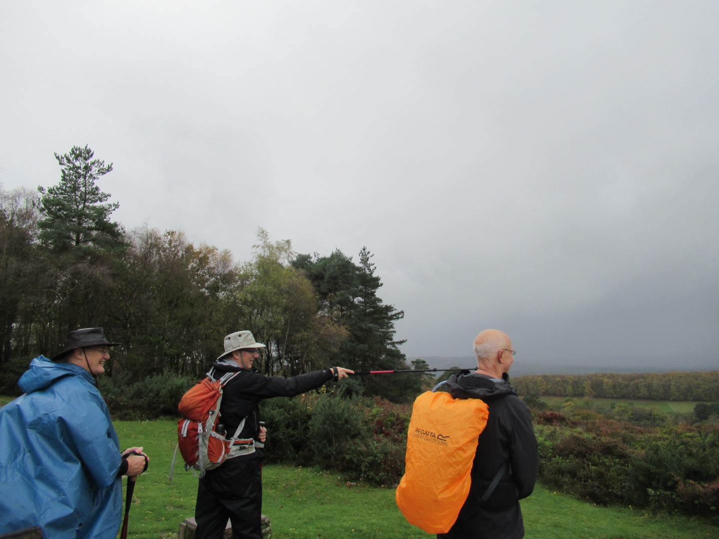
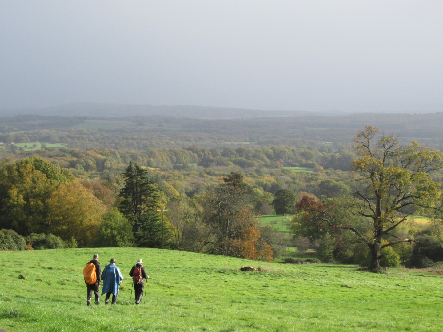
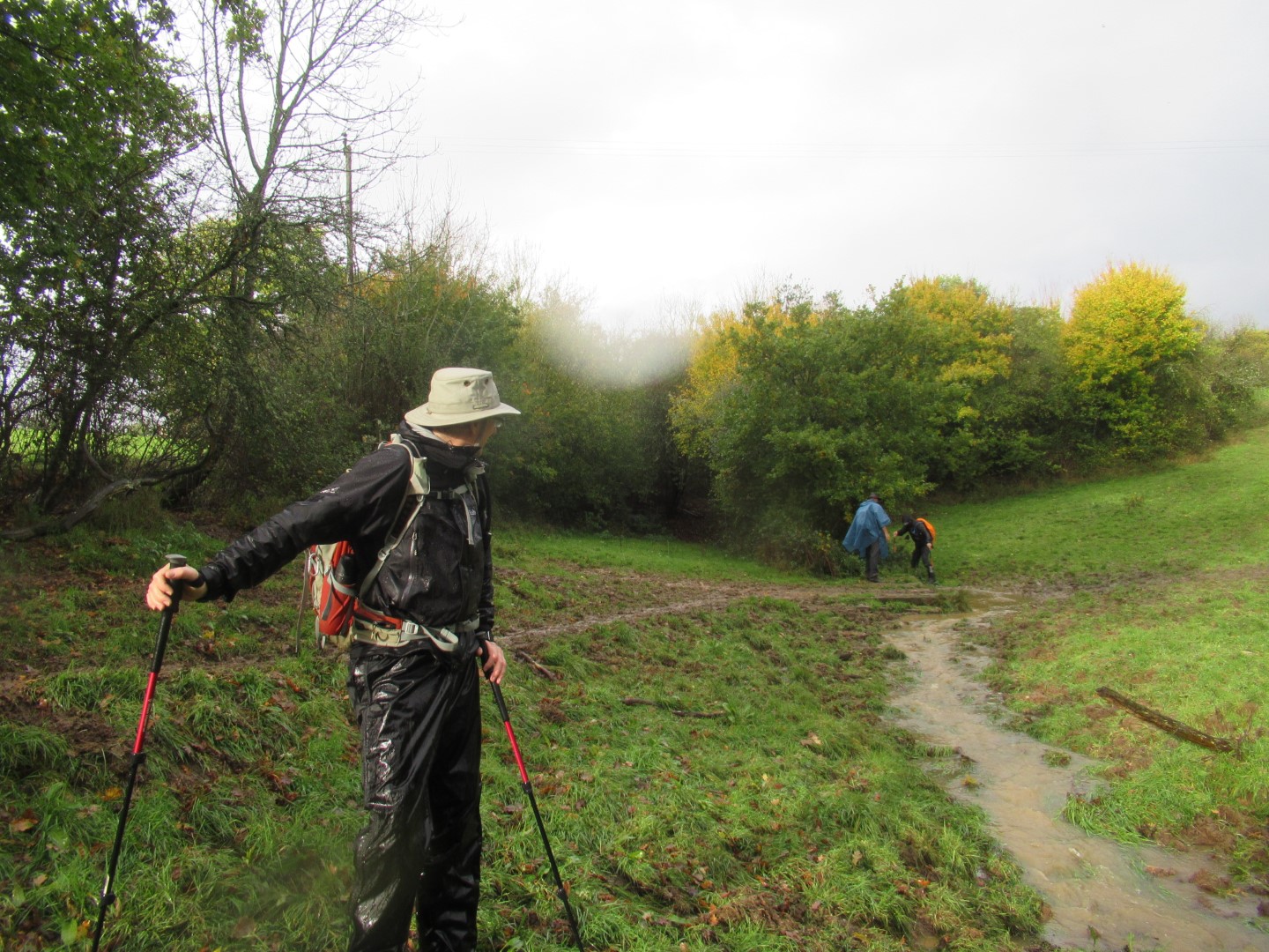
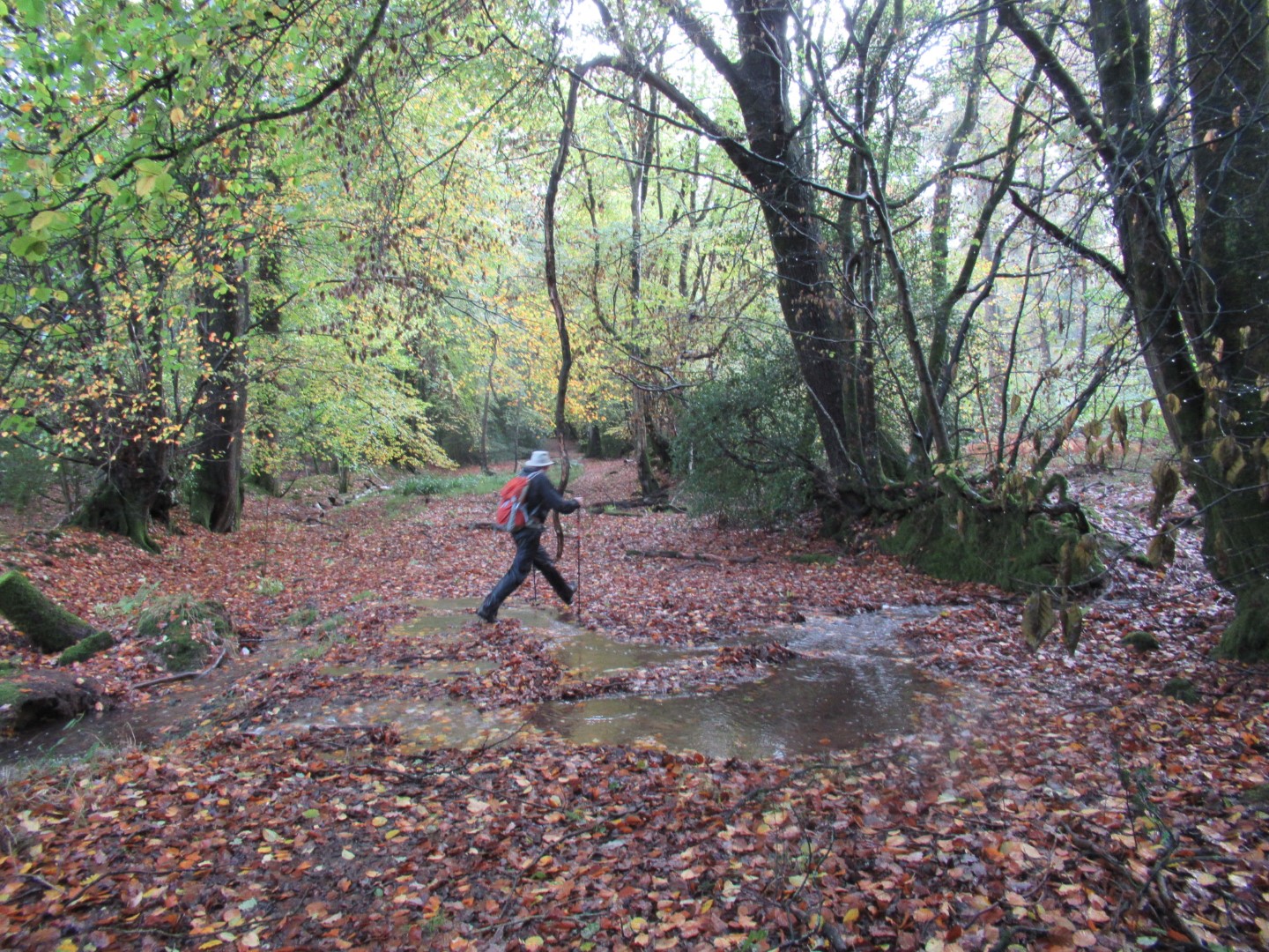
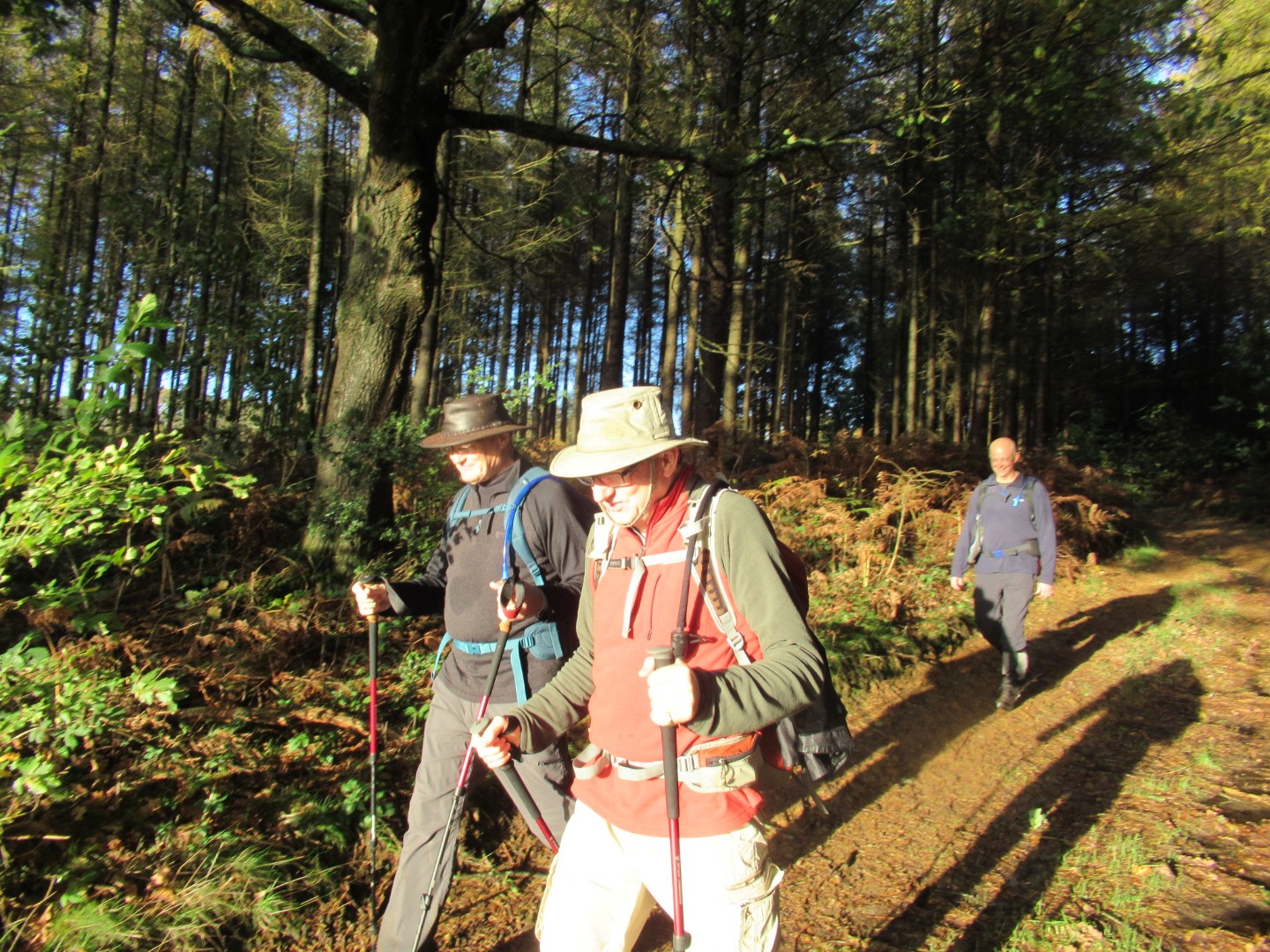
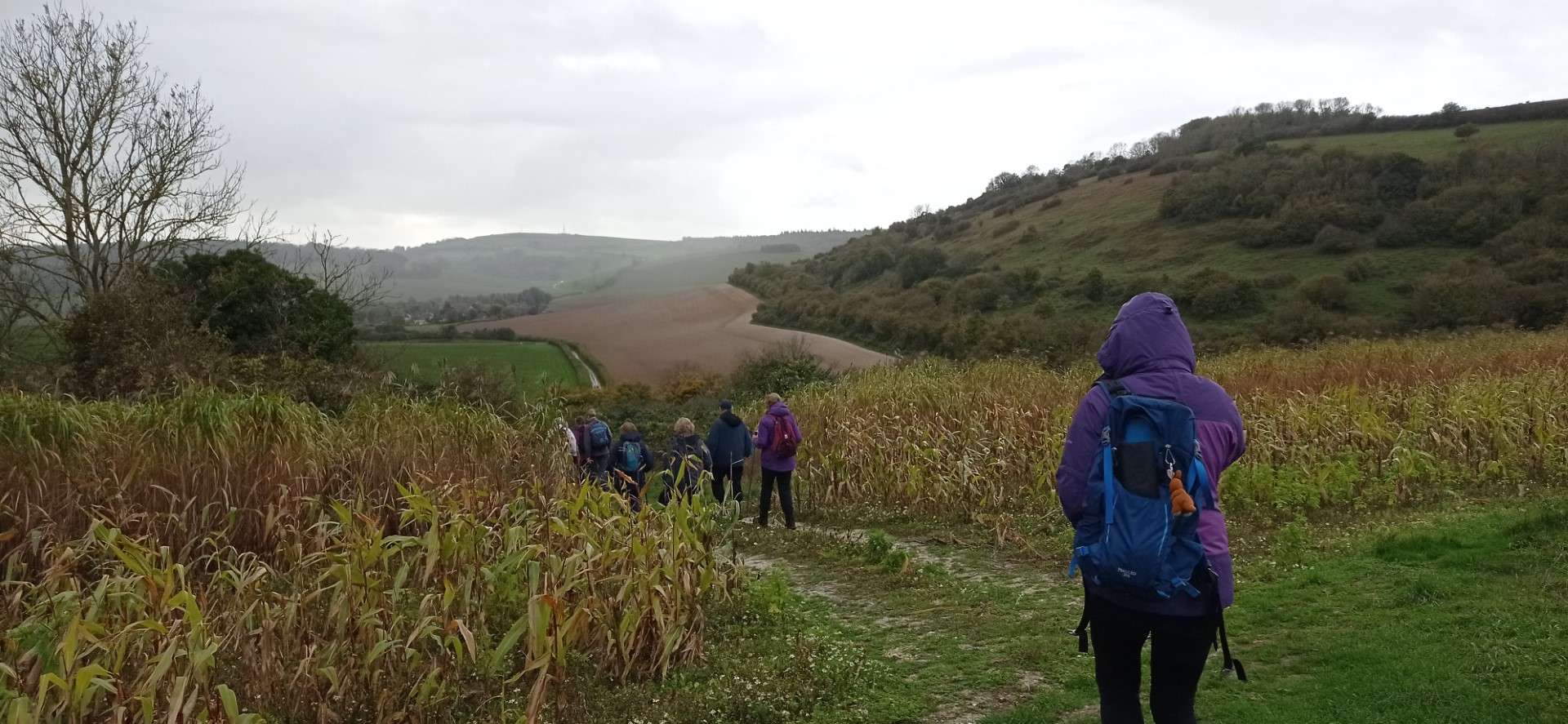
The weather forecast from three Apps was promising, sunny intervals with light showers for the 18 mile jaunt from the car park at Older Hill. The rainbow at the viewpoint at Older Hill we felt was a portent that the weather deities were with us. The walk leader, Paul suggested we start at 09:00 to ensure we finished in daylight. In the team esprit of total belief everyone brought a torch. The first hill of Older Hill conquered, we set off north through Heathfield Rough, skirting round the Hollycombe Steam Collection for our second peak at Parkgate Copse before disrobing excess layers due to the heat whilst enjoying the views. No sooner than we had reduced our attire, the ‘light showers’ commenced necessitating a raingear stop before manfully striding our way across Stanley Common dropping down the valley to start the climb to Linchmere Common picking up the Sussex Border Path. We crested the third peak at Marley Common slightly behind schedule but stopped for a coffee and Polish fudge break in the sunshine. The route plunged off the common down to Bell Road to facilitate the next ascent to Black Down, the fourth peak following the Sussex Border Path. The weather was being good to us as we looked forward with eager anticipation to our well earned lunch. Our leader took the opportunity to show us the distant hills we had traversed, but being shrouded in mist we took his word for it. The smugness of our exploits to that time proved to be our downfall. The short distance to the Temple of the Winds on Black Down gave the Temple of the Winds time to call up their friends ‘heavy rainfall’ for a demonstration storm dance together. The lack of wind and rain shelter made the Temple uninviting for our lunch break, so we scurried down the hill to take shelter under trees for lunch. Driving rain did its best to dampen the lunchtime spirit, but the welcome Polish sausages banished thoughts of misery and discussions about the meaning of ‘light showers’ in meteorological circles. The efficacy of our waterproof attire was proven to each of us by this point. The inducement of the weather to tarry over lunch returned us to our leader’s time schedule. Descending to Blackdown Farm saw the sun break out to warm and dry us as we skirted the vineyards to Verdley Woods for the climb to Bexleyhill. The continued sunshine at Bexleyhill gave the encouragement to remove raingear, have a tea break and demolish a communal bar of decidedly foreign chocolate. The final leg of the walk took us along roads south of Henley past the King Edward VII Estate to pick up the Serpentine Trail back to the car park at Older Hill. It was still daylight when we finished.
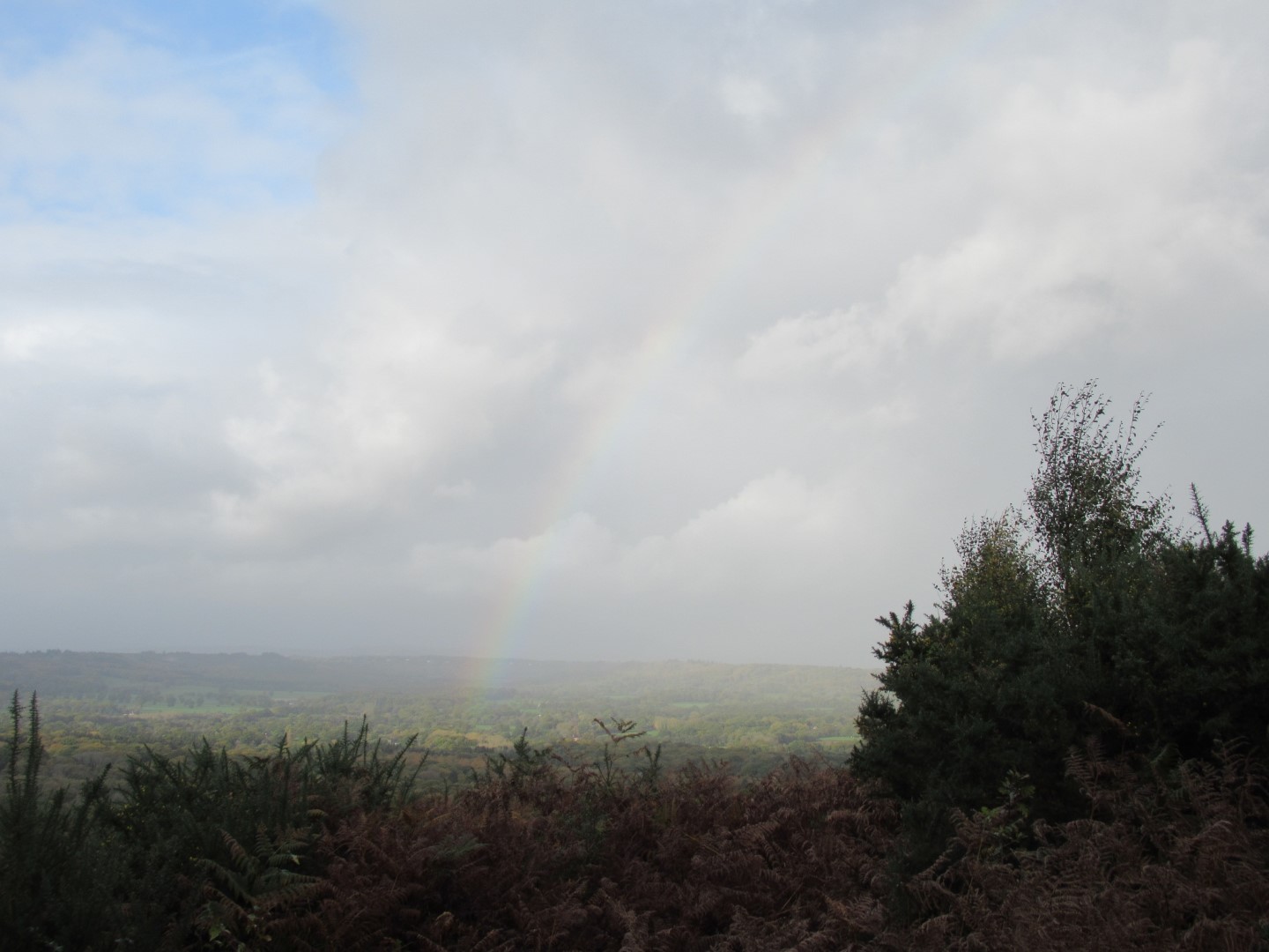
The rainbow at Older Hill: portent of a good walk
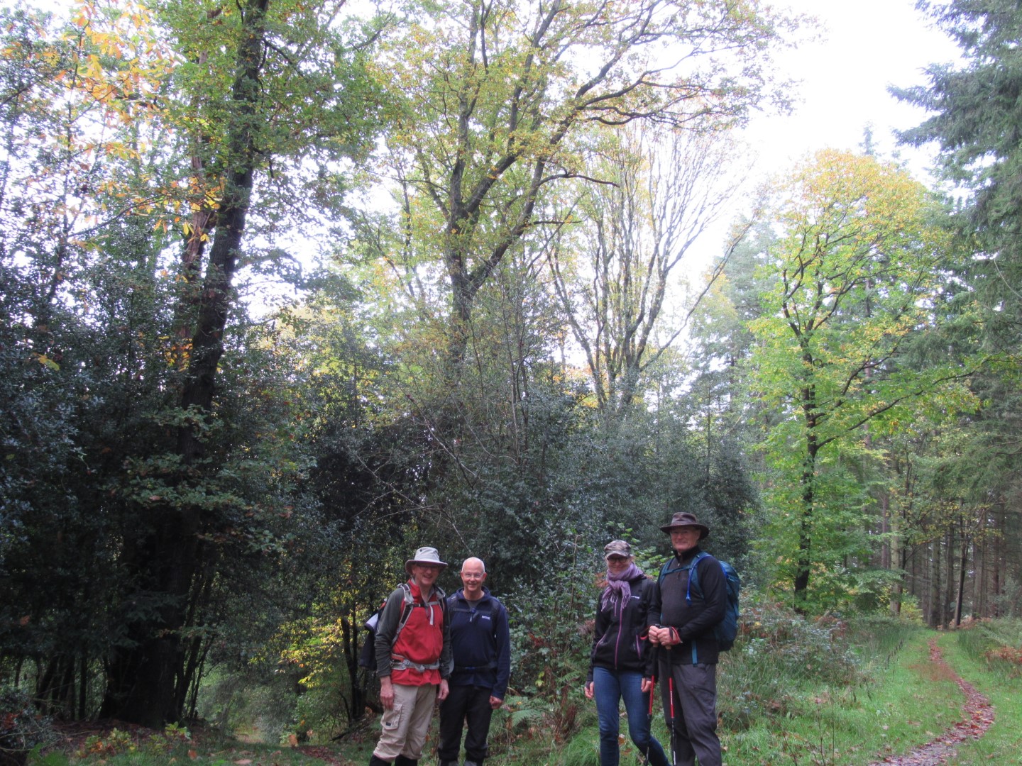
The intrepid team
Everything is going to plan
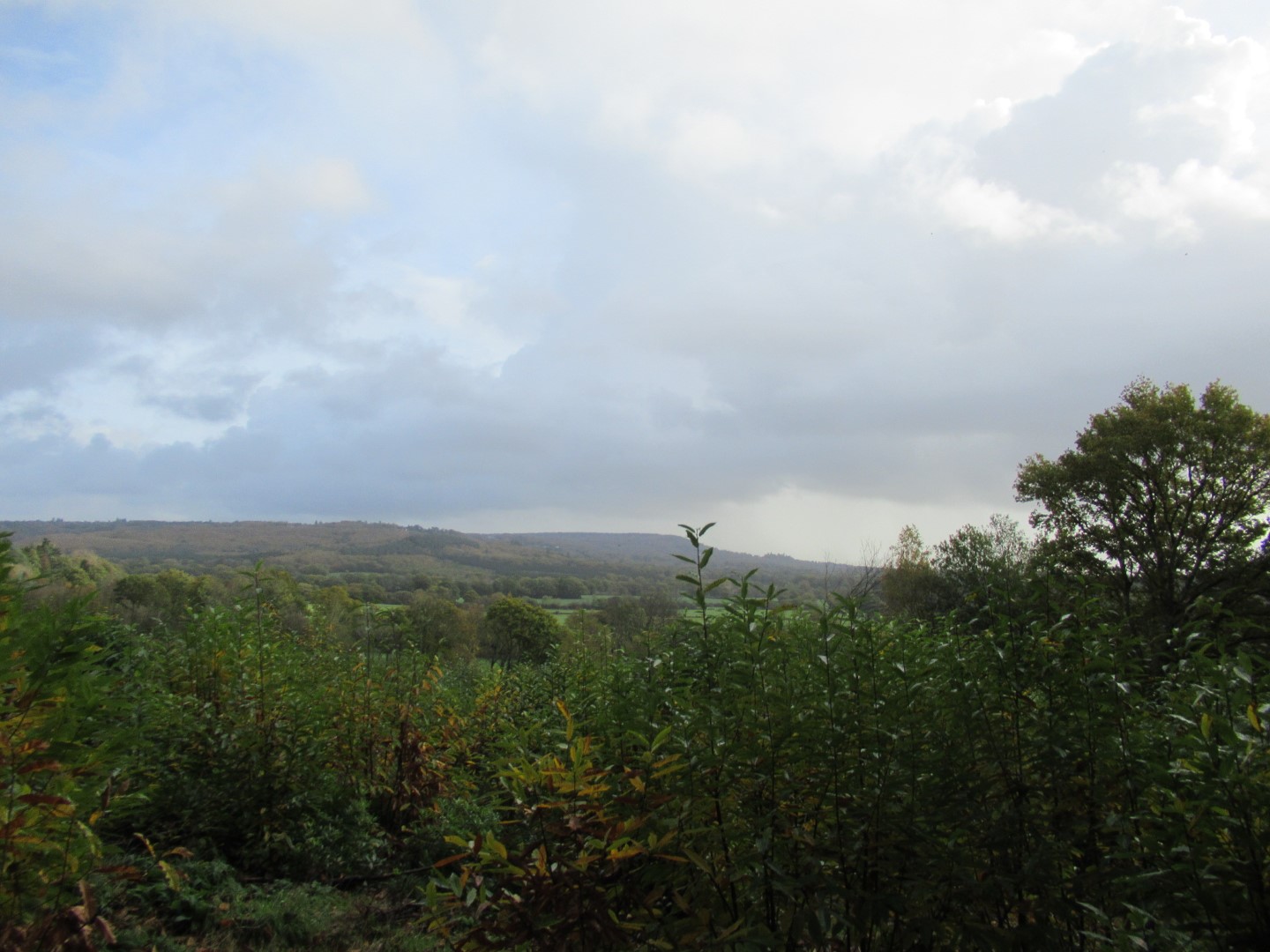
The view across Ploughgate Rough
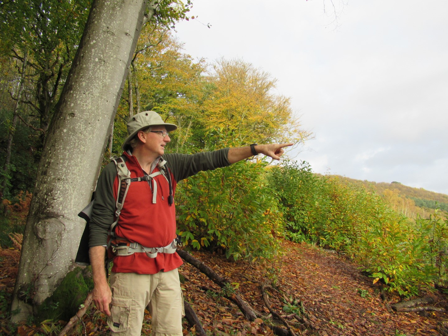
Yes, we are going to be over there for lunch
The lunch venue is over there
It’s getting a bit warm folks
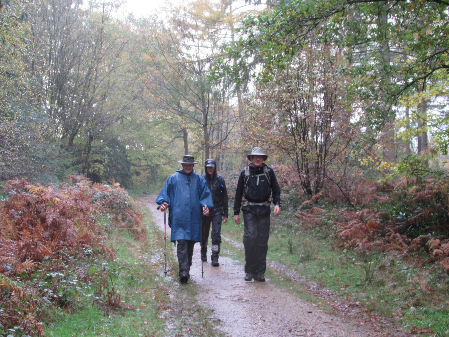
Errr, actually now it’s a bit wet
But we can still pose, even in the rain
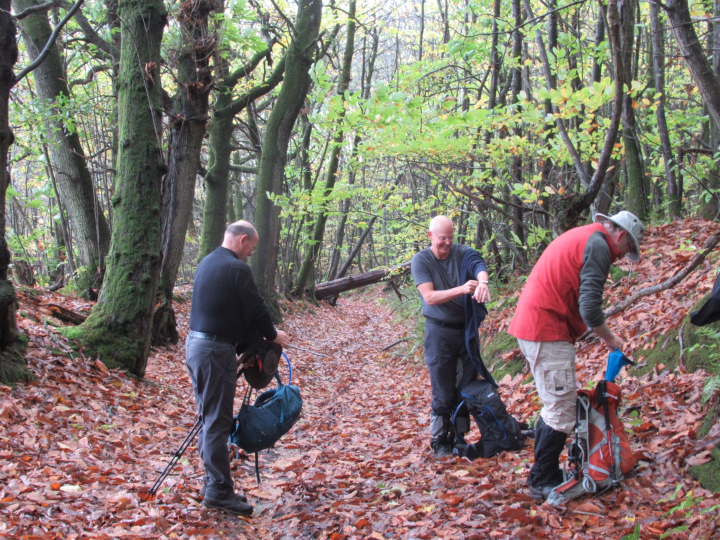
Morning coffee break
There was no handrail when I pre walked, so I quickly knocked this up and it’s still here
We’re going this way
You see we started there, and we’ve been over all those hills, now for lunch
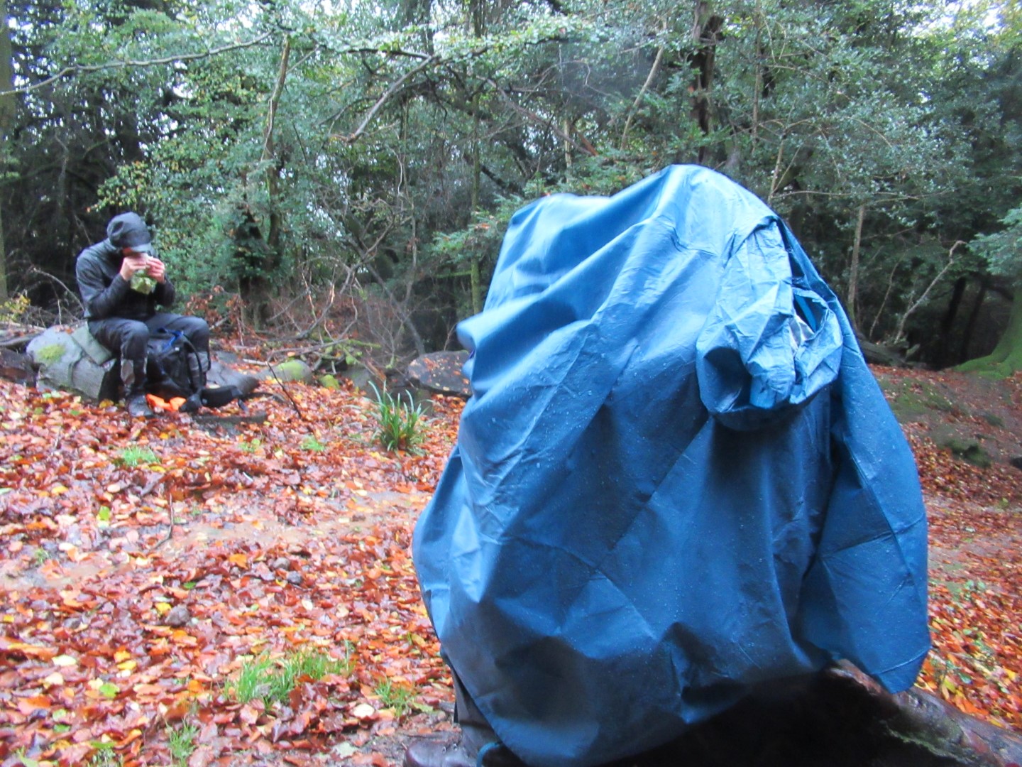
There’s a sandwich in here somewhere, I’m sure of it
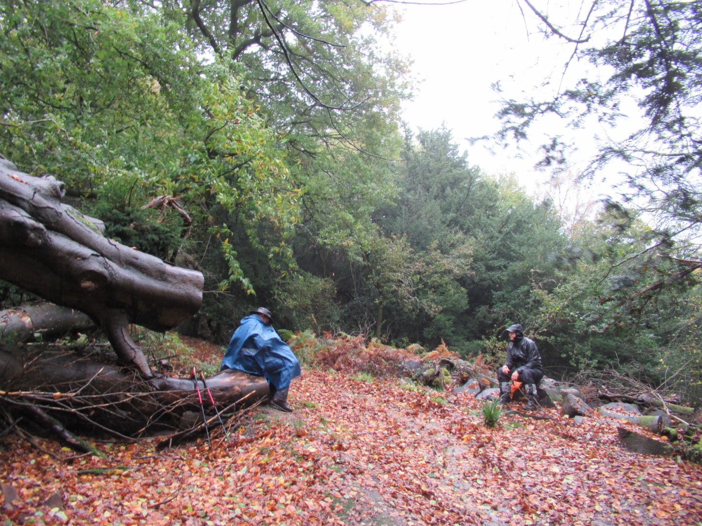
Just how wet can lunch get?
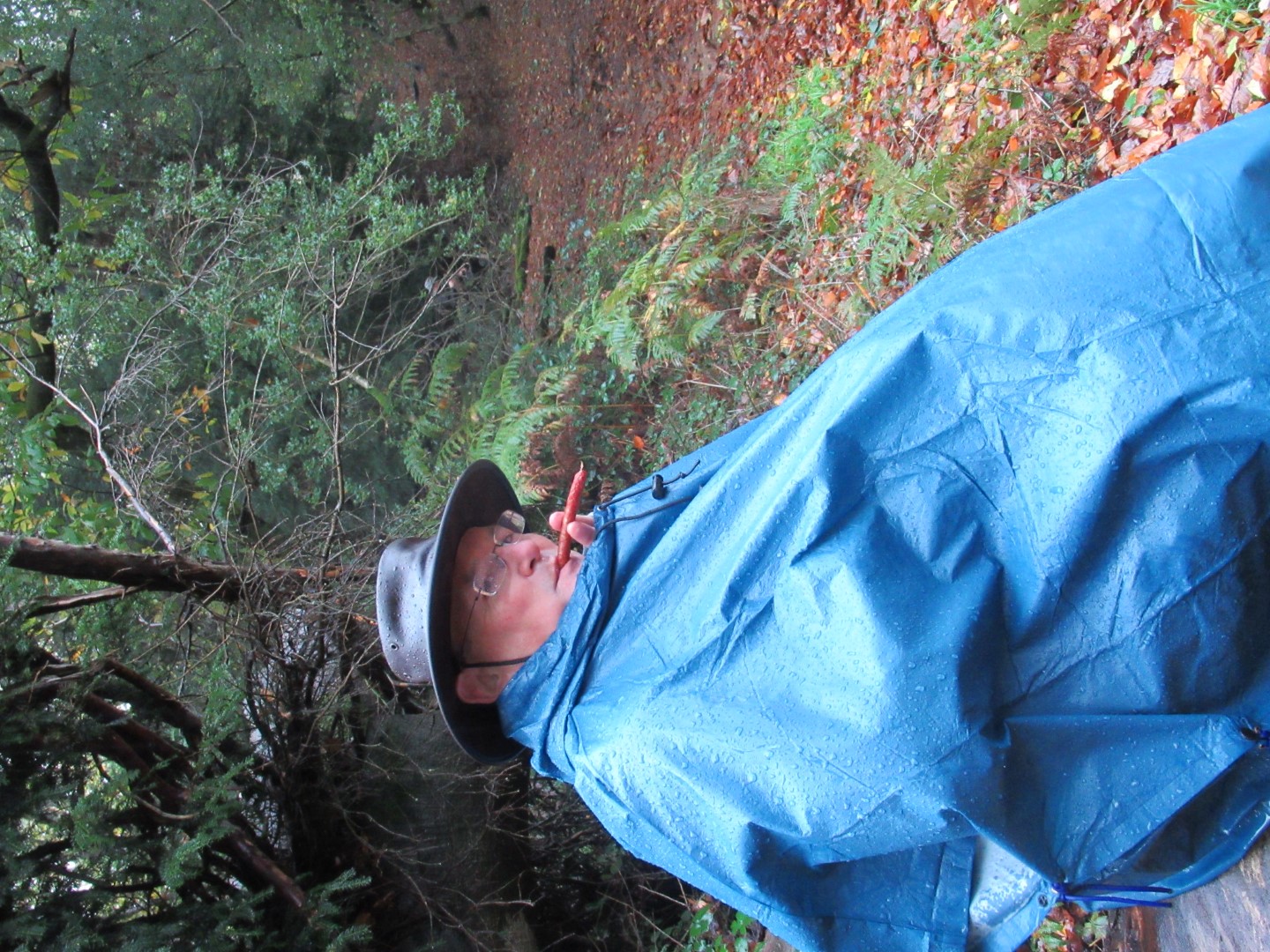
Polish Sausage: eat it or smoke it?
Walking in the sun at Blackdown Farm
Mud, mud, glorious mud……
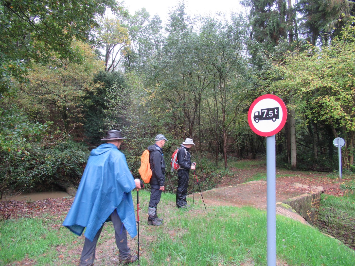
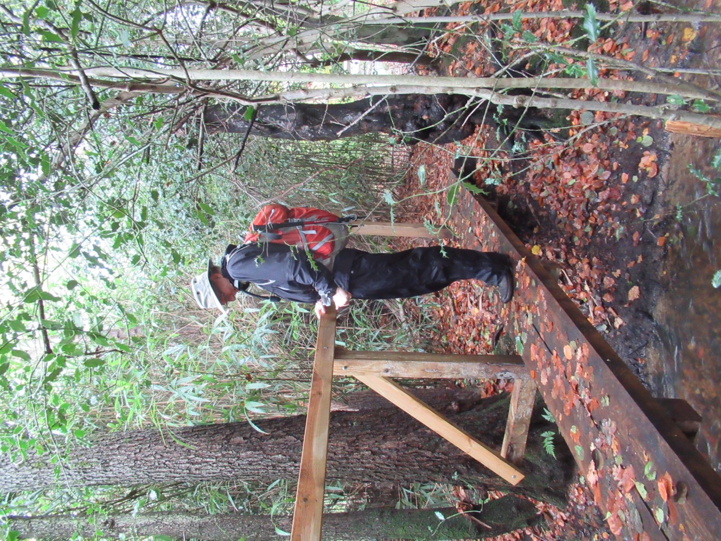
No road to this bridge, to be safe let’s go one at a time
It’s one small step for man…..
Time for tea and a small square of Polish chocolate
Almost there as the shadows lengthen
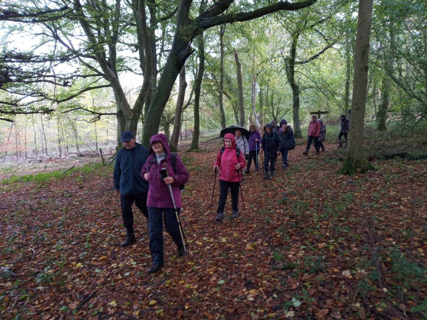
East Dean walk on 2nd November 2022
The weather forecast for the morning was not bad, but rain was forecast for the afternoon. In the event we did have a couple of showers but nothing to spoil the enjoyment of walking in the South Downs. Jennifer took us from the Star and Garter up the road to All Saints church. We paused briefly to find the grave of Christopher Fry, writer of the play The Lady's Not for Burning, his most successful work which gave employment to Richard Burton, Jack Hawkins, John Gielgud and Claire Bloom amongst others. Margaret Thatcher deliberately misquoted him with "You turn if you want to — the lady’s not for turning,"
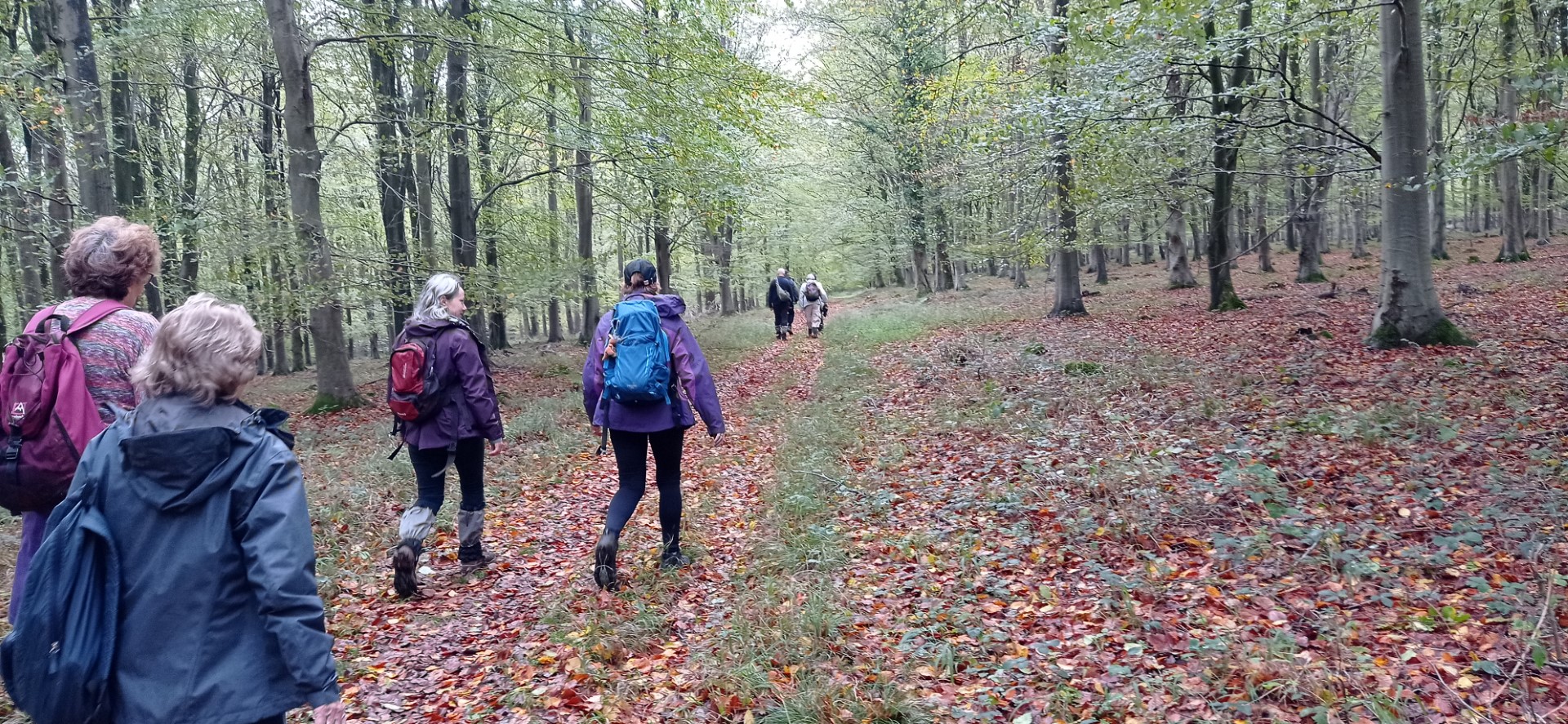
We then tackled Court Hill and on into Wood Lea before turning to descend North Down and then up North Lane to find an excellent drink stop. Suitably refreshed we headed back up Wood Lea through the woods to the West Sussex Literary Trail. We had to dodge a few fallen trees but all survived to eventually descend into the village of East Dean. Lunch was at the Star and Garter.
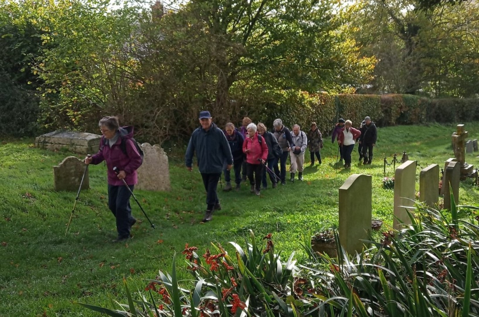
All Saints churchyard
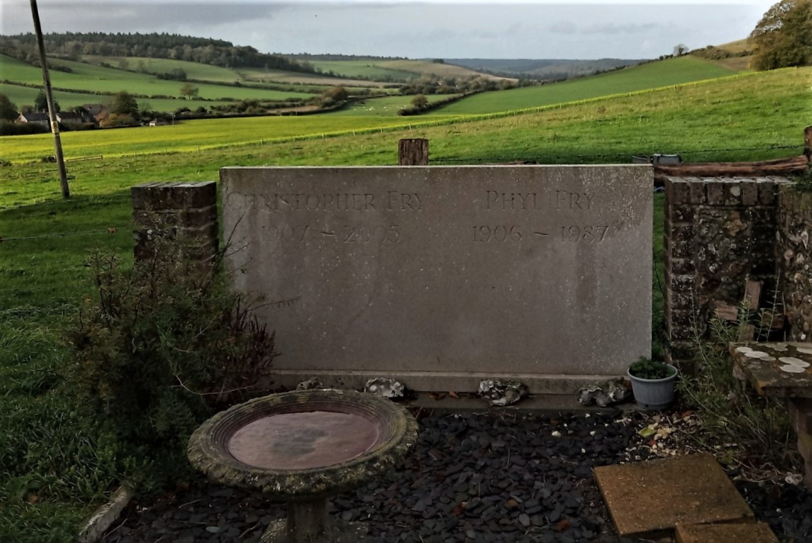
Last resting place of Christopher Fry
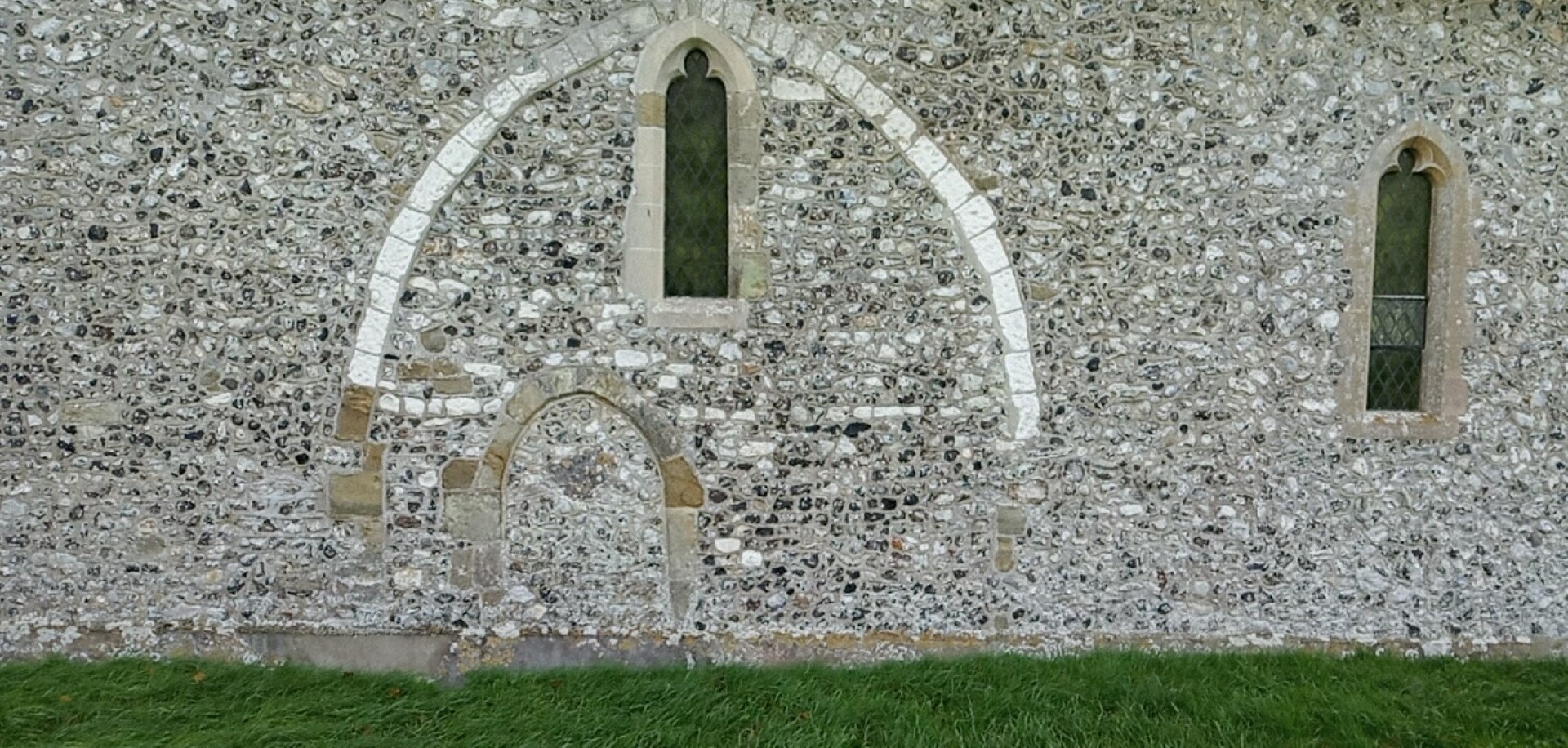
North wall of All Saints church. Builder on the left couldn't quite make his mind up, then thought "I'll just copy that window next door."
.jpg)
Storming up Court Hill
Rain in Wood Lea
Down towards North Lane
"Who are you looking at?"
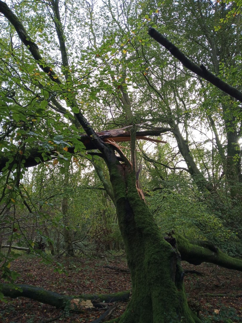
Recent winds have been very damaging
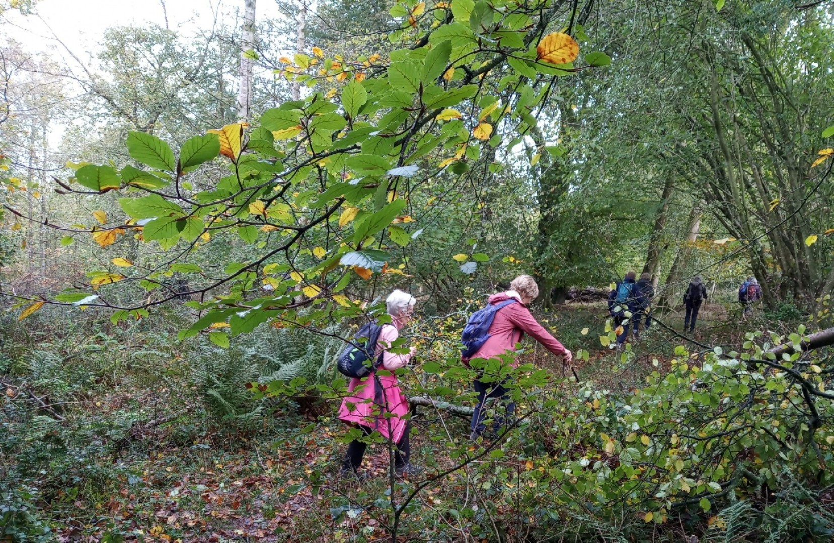
But we managed to find a way through
Luckily some parts of Wood Lea were not quite so difficult
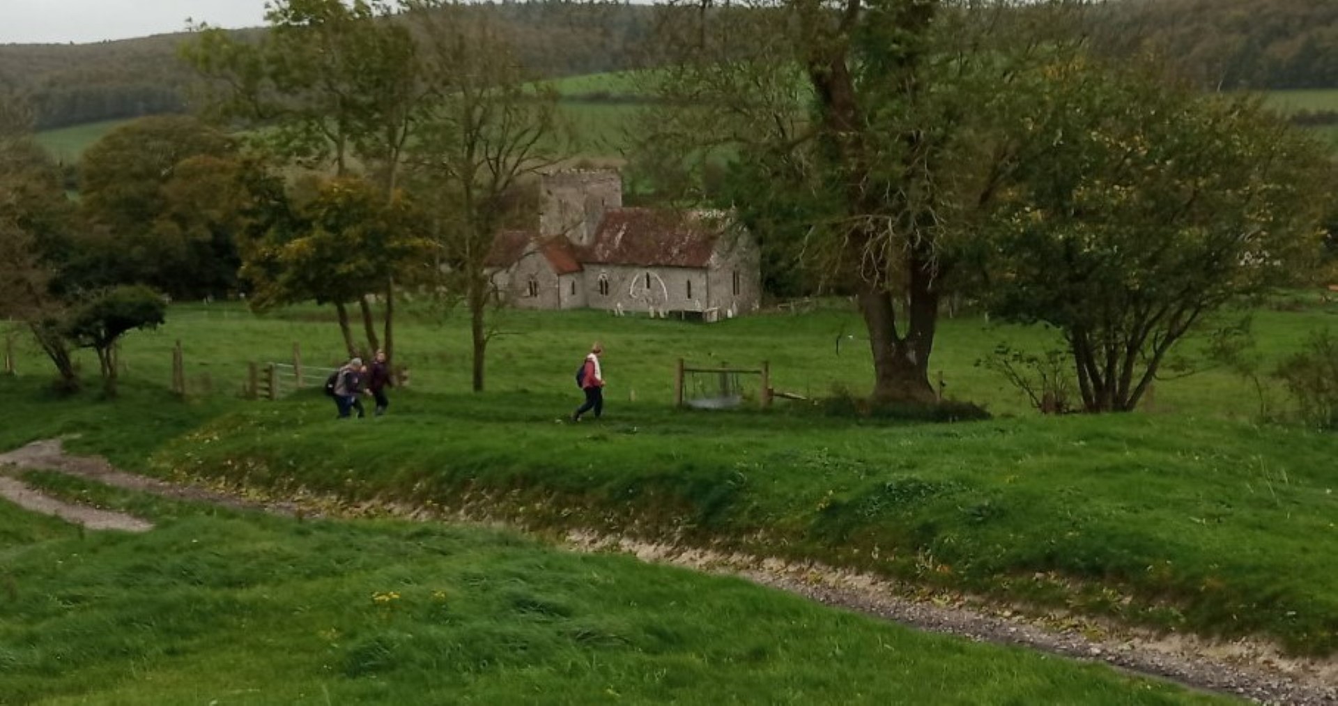
Back down into the village, taking a different path past All Saints
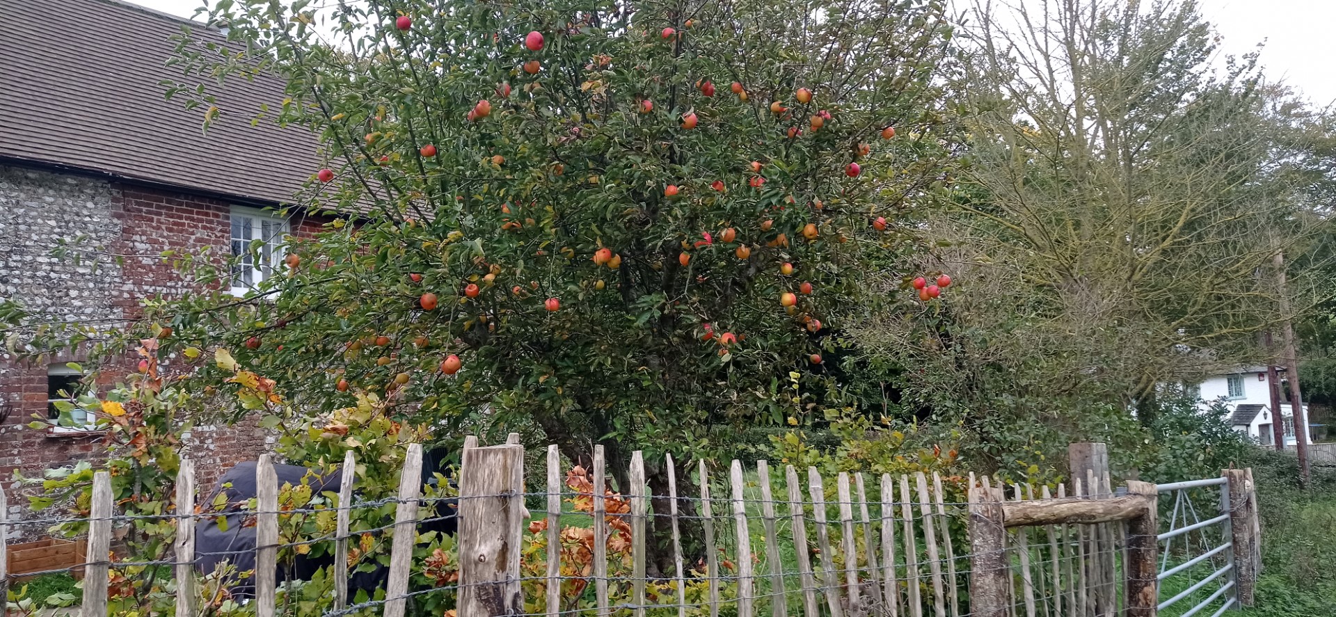
It's November, and still a tree full of apples
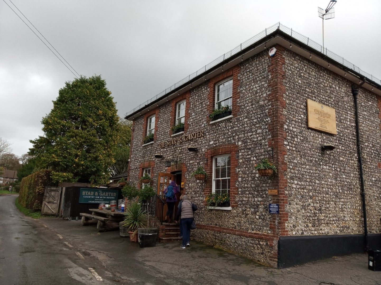
Star and Garter at last!
.jpg)
Happy walkers before their meal.
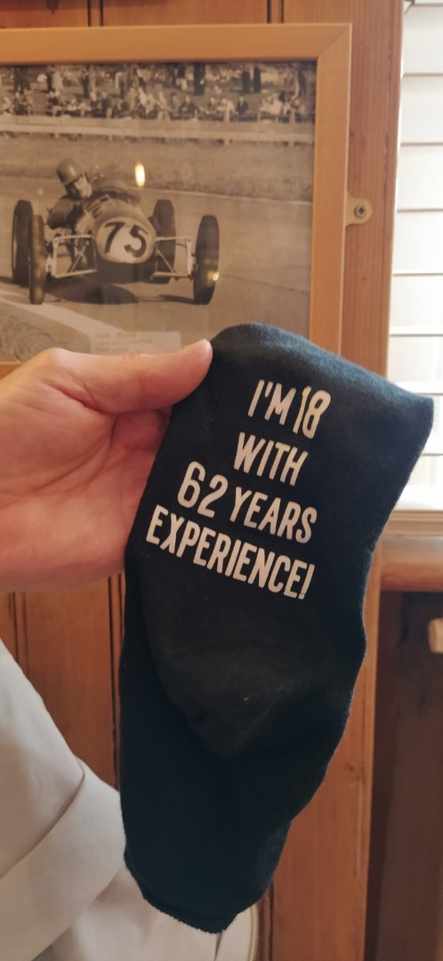
Can't think whose sock this could be?
.png)
About 5 miles
Tillington Walk on 26th October 2022
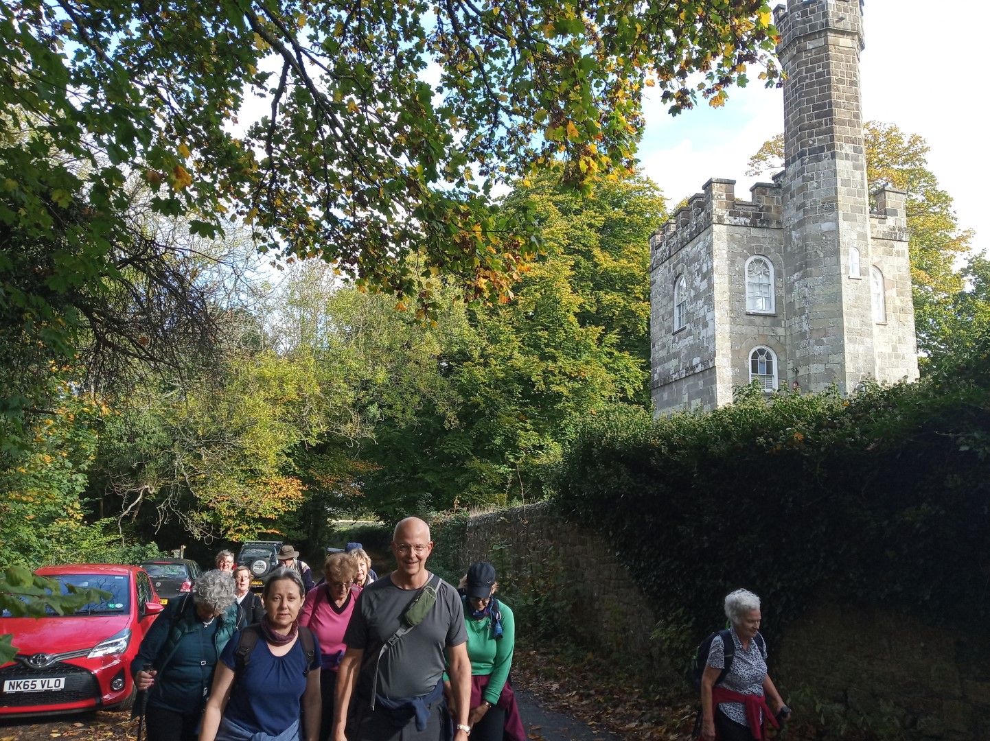
The Tillington walk led by Jay was dry all morning in spite of rain before the walk started. We met just above the Horse Guards Inn, then walking along Cemetery Lane to find the footpath that went to the vineyards of the Roebuck Estate. Pitshill soon came into view, now owned by Hon Charles Pearson. The house was remodelled in the 18thC by the Mitford family (not necessarily the famous Mitford family who had estates in Northumberland), but fell into disrepair and needed much restoration when purchased by the current owners in 1997. The work was completed in 2016.
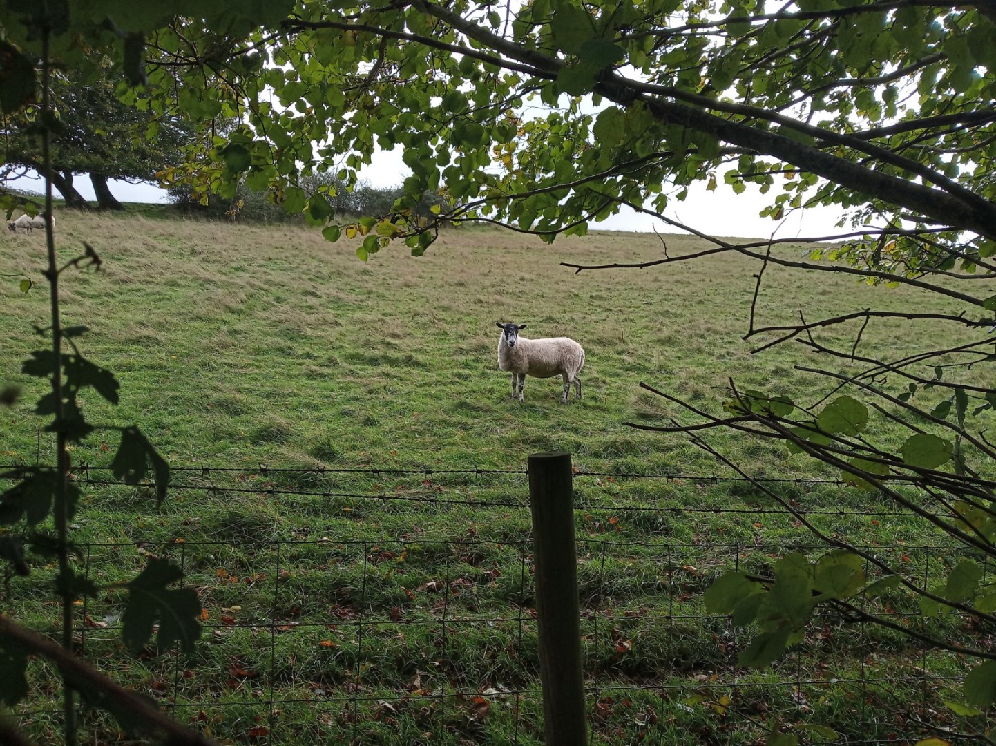
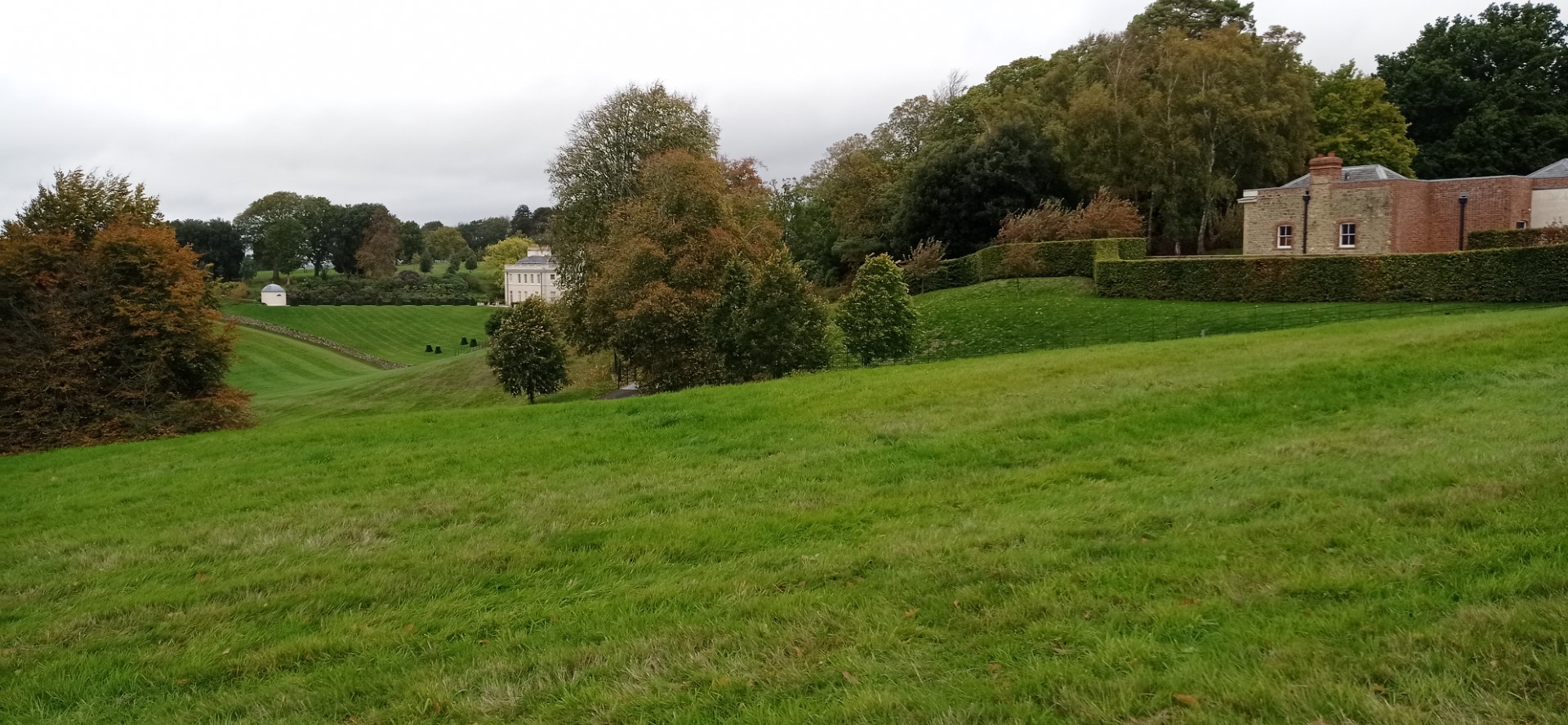
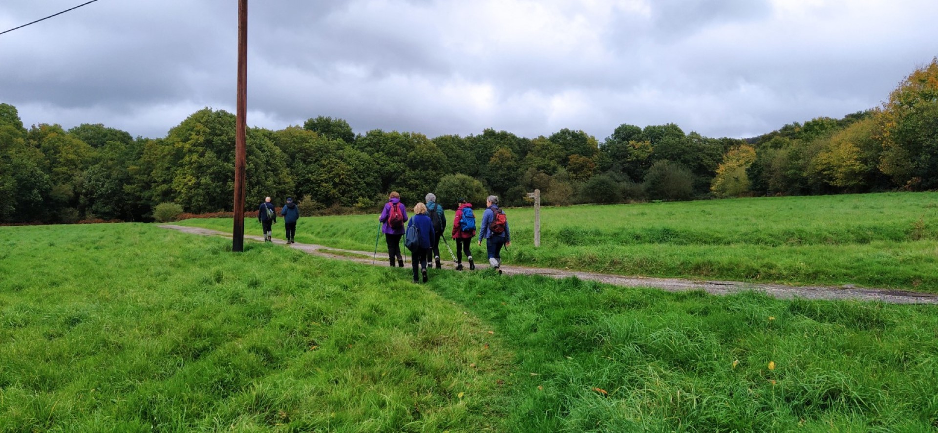
From there we headed for Roundabouts Farm and River Common before making the ascent through Upperton Common to the Monument at the edge of Petworth Park. Using the Upperton Gate, we gained access to the park that has one of the largest herds of fallow deer in the country. October is rutting time for fallow deer and we did hear some bellowing as the bucks tried to gather as many does as they could. We finally exited the Park at the New Lodge West gate and onto the A272 before cutting through the Tillington churchyard of All Hallows. From there it was a short car-ride to Halfway Bridge Inn for an excellent lunch. The walk was about 6 miles.
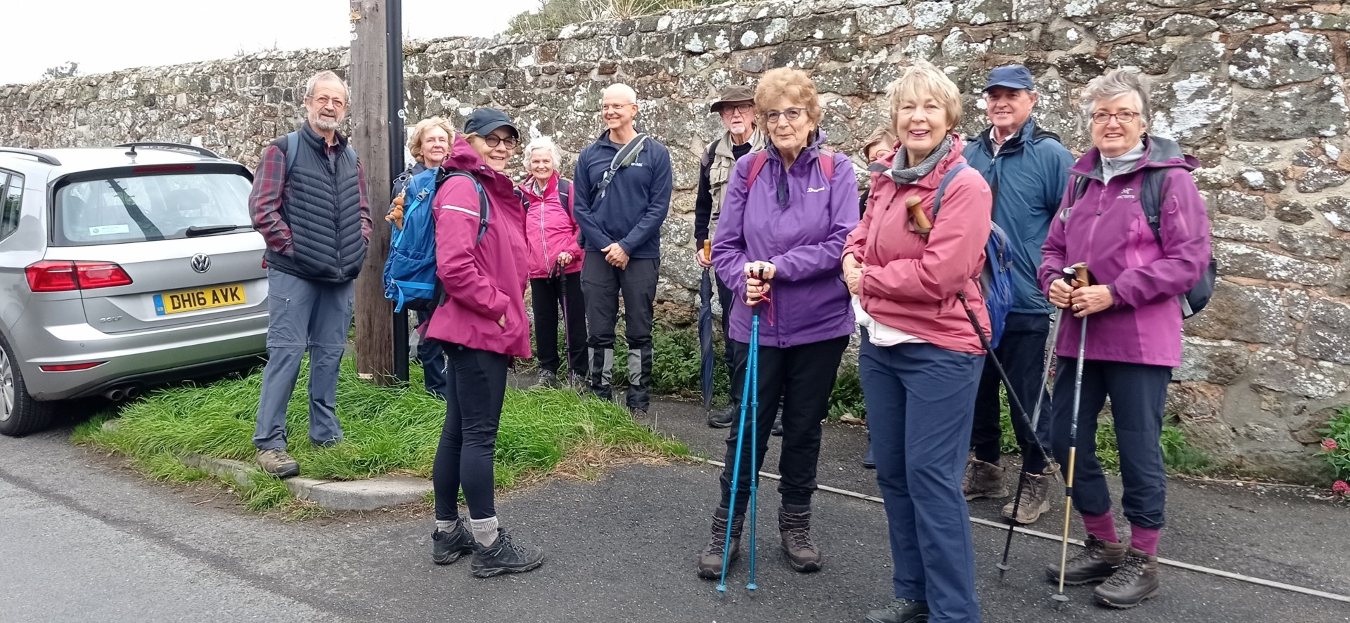
Boots on, ready to walk
Heading for the vineyards
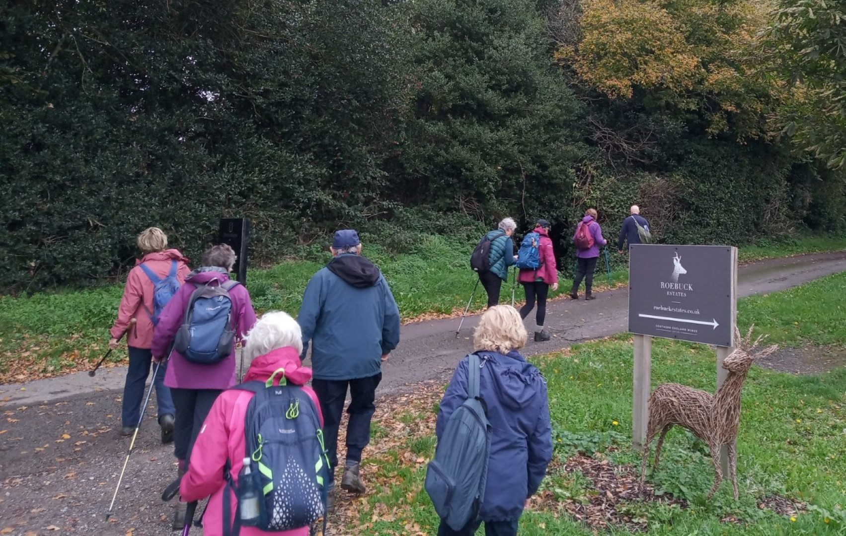
We managed to resist the temptation to sample the sparkling wine just up the road.
Shell house, Pitshill and the Stables. All Grade II listed, including the park.
Roundabouts Farm
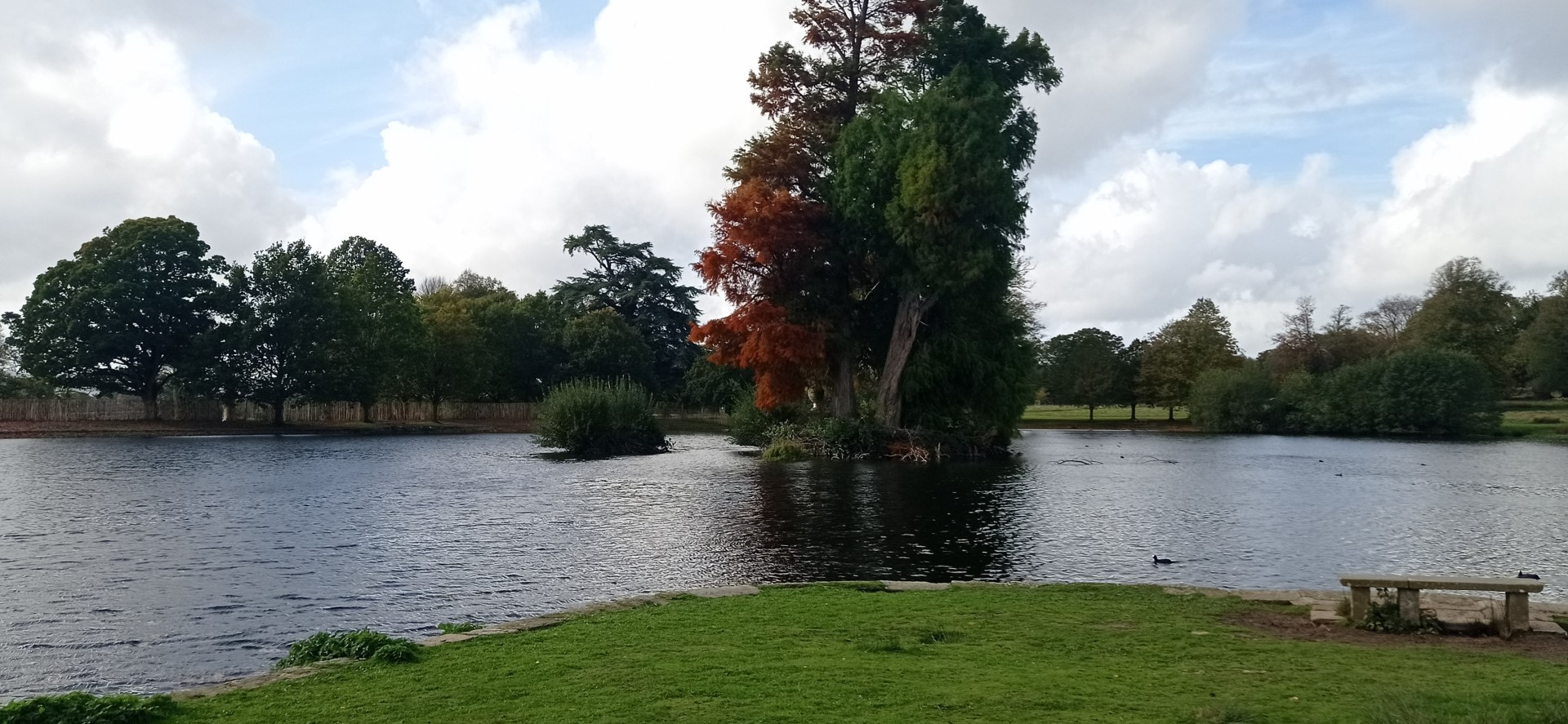
Nice picnic facilities
The Monument. More probably a folly used as a verderer's lookout. Late 18thC.
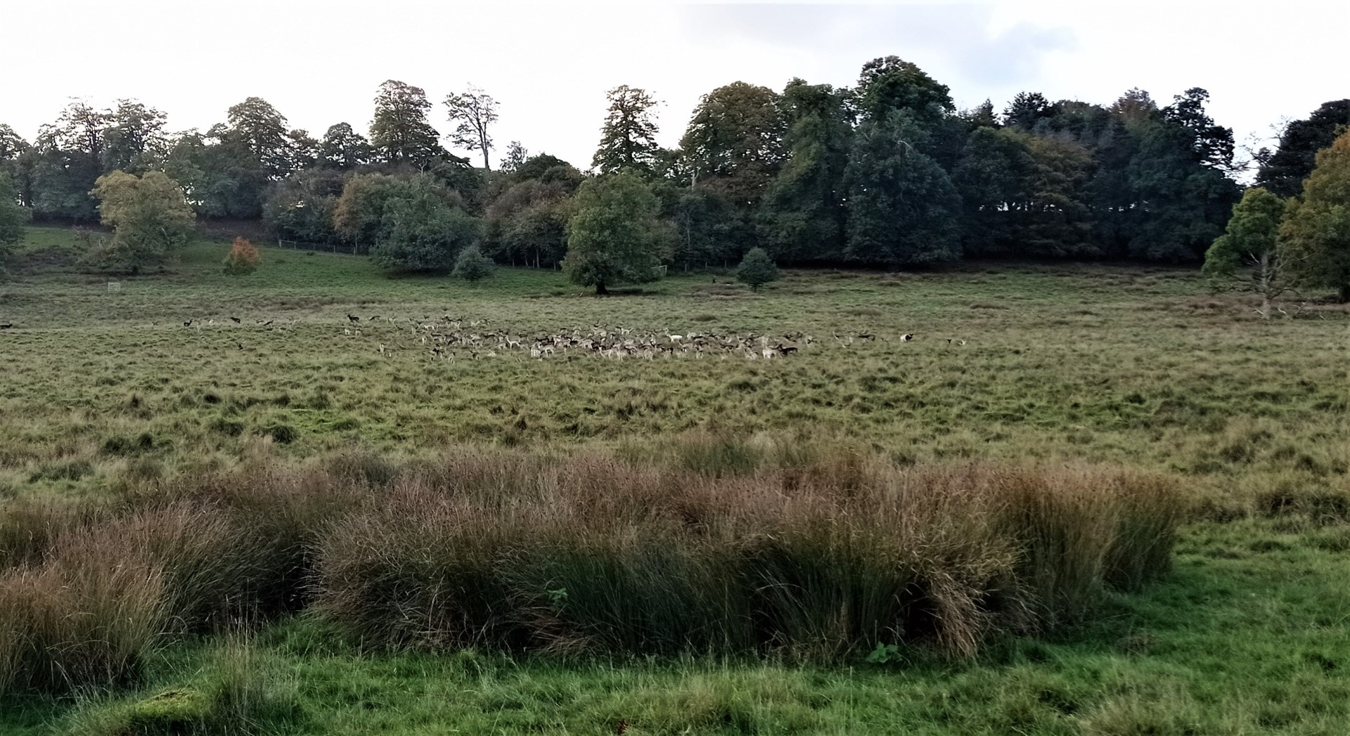
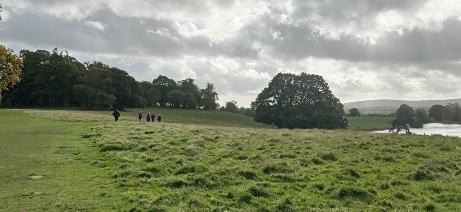
Lots of fallow deer
.jpg)
Buck eyeing up the potential
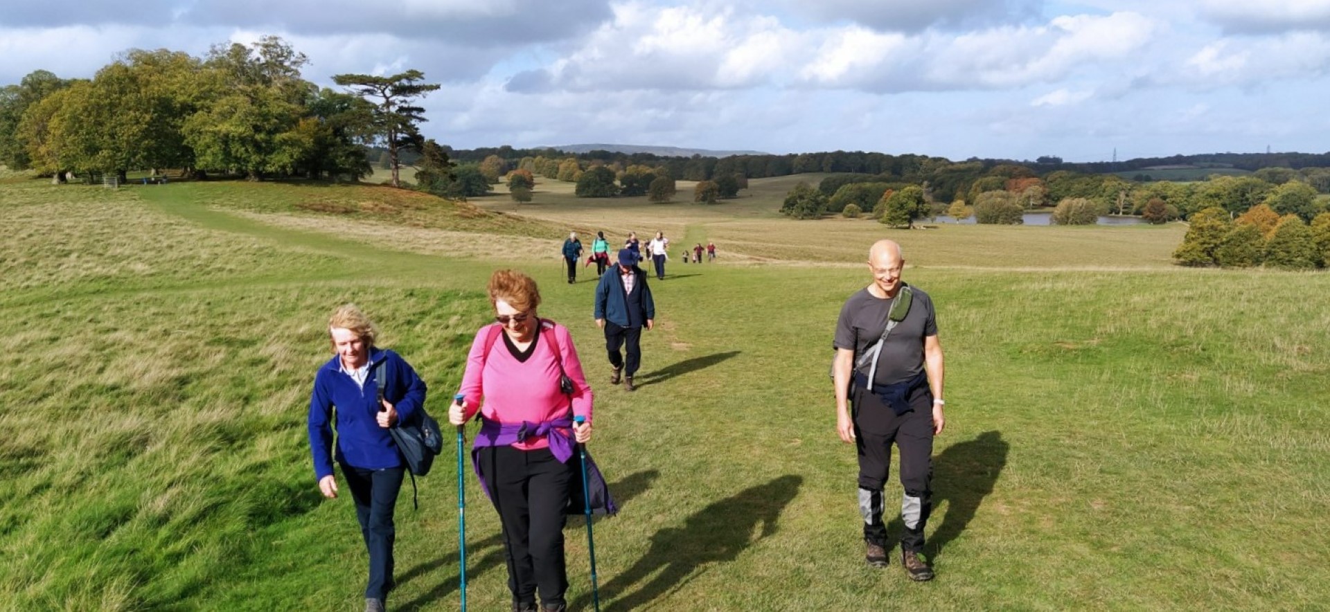
Climbing the hill towards Petworth House, with sunshine.
A clear day, but many clouds up above
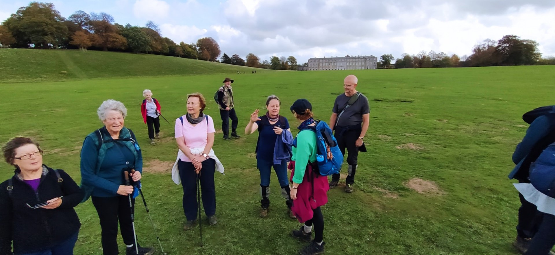
"Now, I know it looks only that tall from here, but that Petworth House is enormous!"
Additionally it has a beer cellar underneath that is almost the length of the whole house.
Capability Brown re-designed the grounds at Petworth House in the 1750's
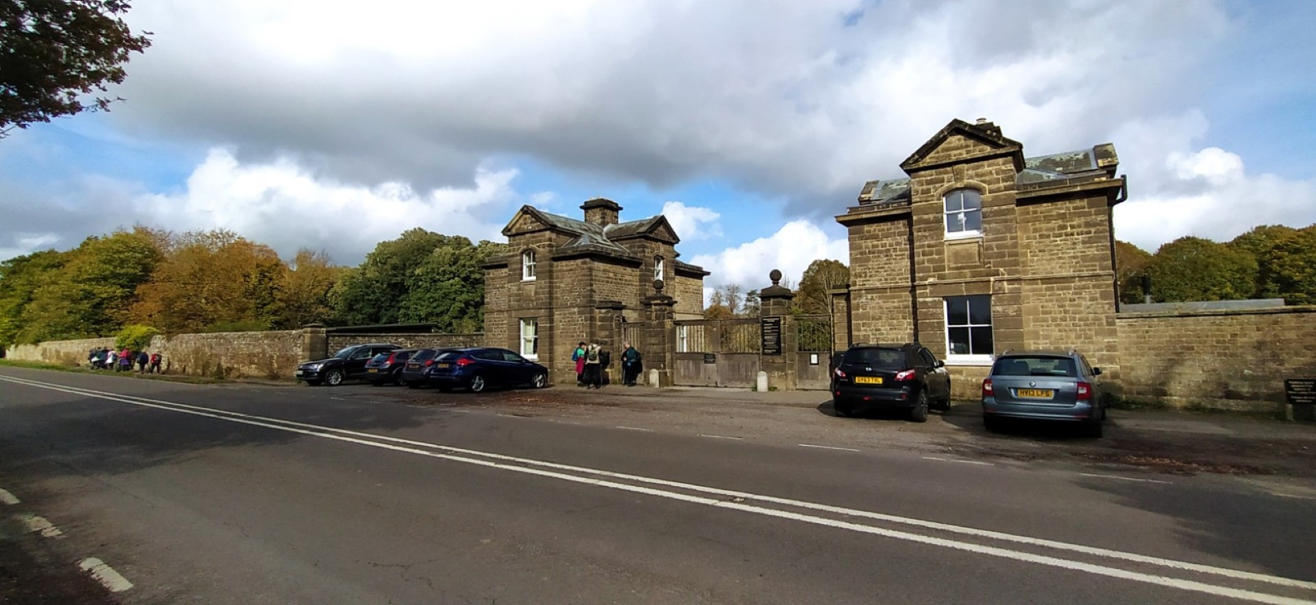
Exiting the park from the New Lodge West gate
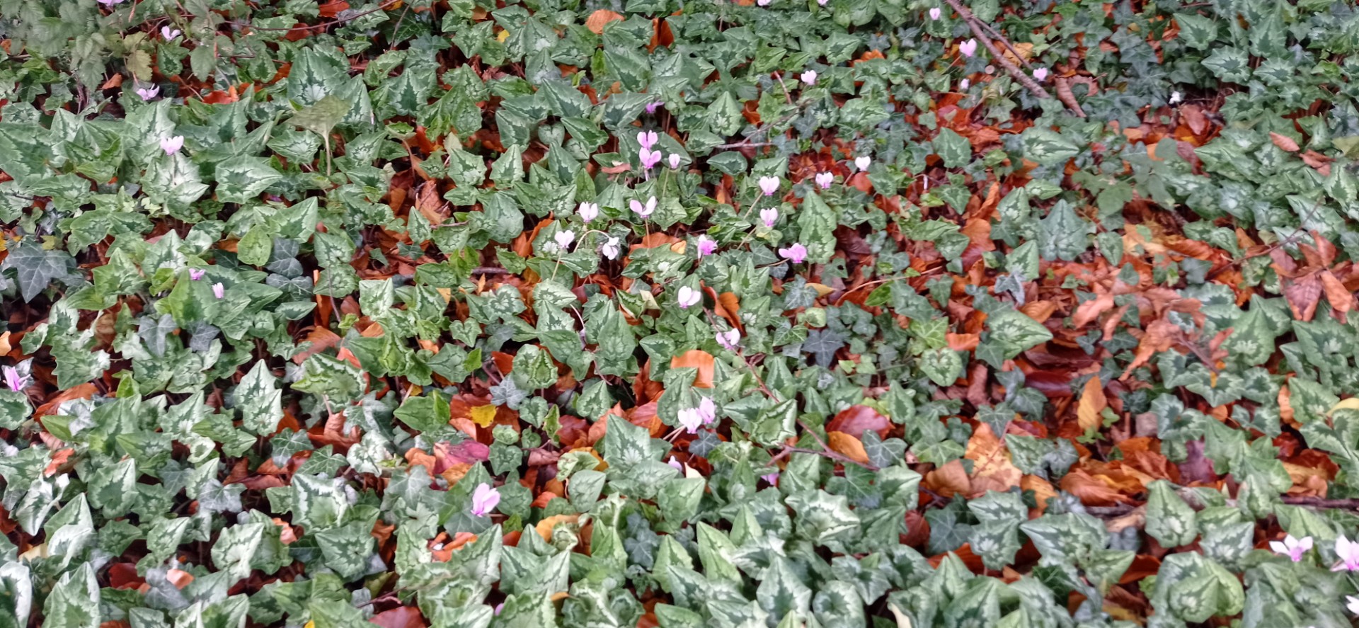
Cyclamens prospering
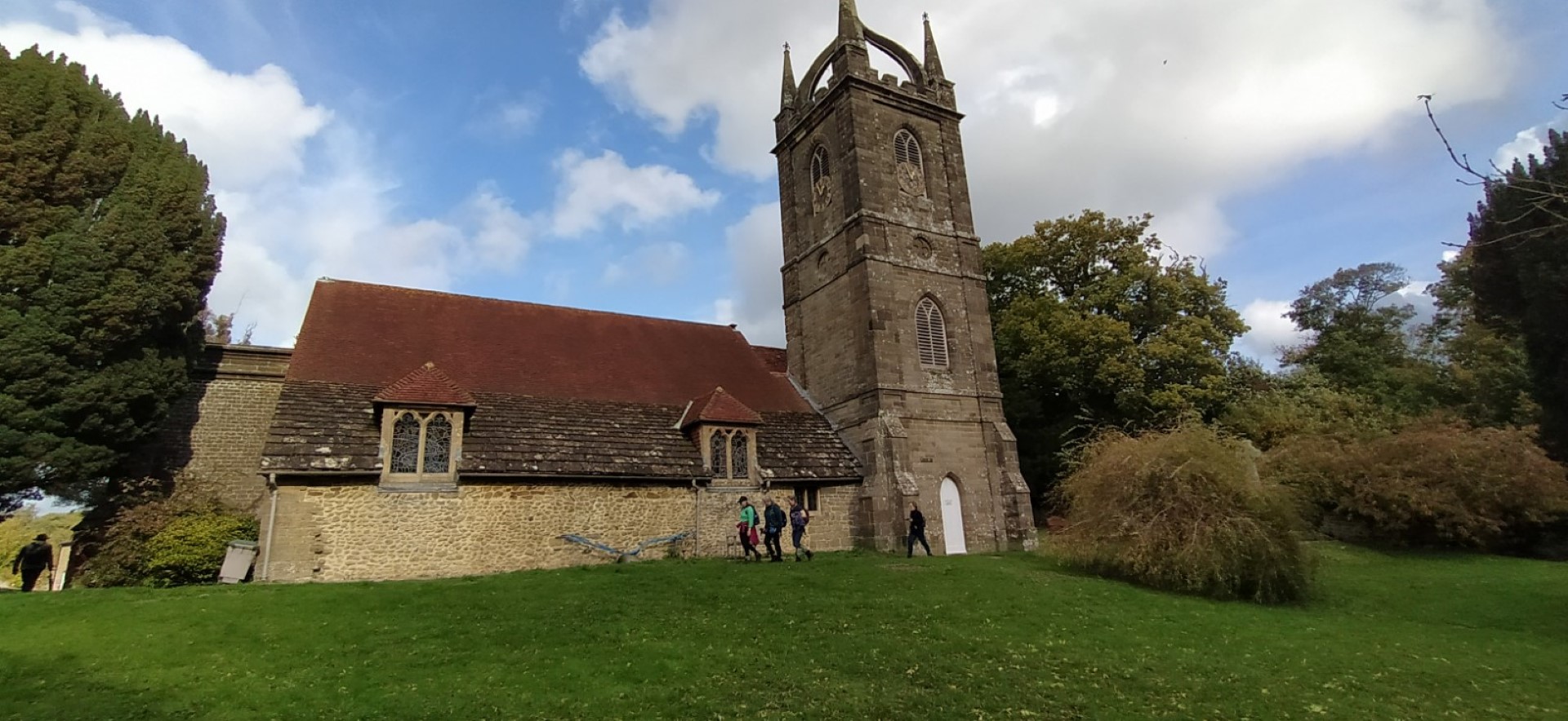
All Hallows church
Great lunch in The Halfway Bridge Inn.
.png)
About 6 miles
Redford walk and AGM 19th October 2022
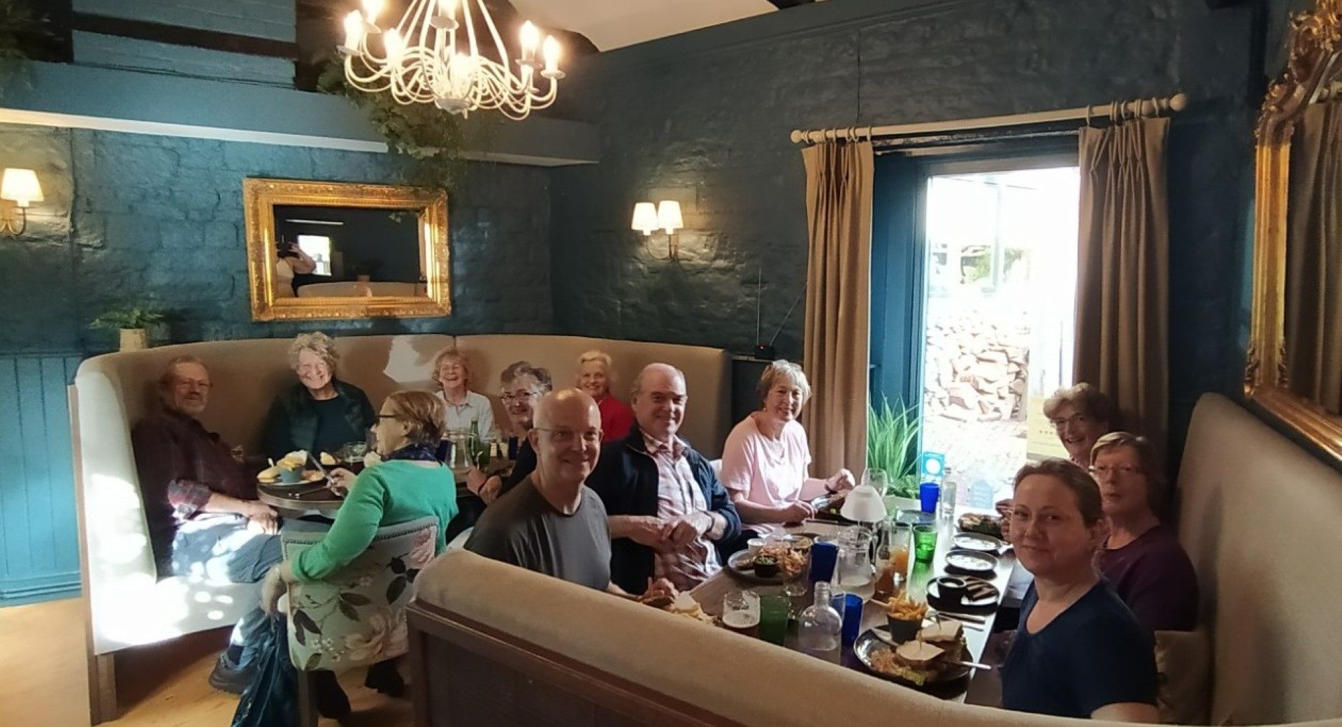
Pauline led the short walk from the Redford Village Hall on a thankfully sunny day. After walking down the road towards Milland, we turned onto the footpath to Slathurst Farm. Lambourne Lane was damp in places but still passable with a bit of care, but it did bring us eventually to Titty Hill, a singularly unusual name for a hill. A stop for a route discussion and a coffee stop and then across Stedham Marsh, which thankfully did not live up to its name. We then took the footpath behind the old Redford Post Office to return to the Redford Village Hall. Barbara, John and Jo had been working hard and we were greeted with amazing flower displays (all flowers from Jo's garden!) and an fantastic lunch in preparation. With a glass of prosecco and canapes, the walkers endured the AGM before tucking into salmon, followed by pear frangipane tart and coffee. The meal was an extraordinary feat by Barbara, Jo and John and was not only a super lunch at an excellent price, but also produced a profit for the club. We were all very appreciative of their efforts. Jo's charity, the Watoto Trust, is holding its Annual Fair 8-9th November in the Tithe Barn, Ditcham. GU31 5RQ and it is well worth a visit. After a chat and a look at old photo albums of the club, we eventually disbanded, well fed and watered, having walked about 3 miles in the morning.

Gathering at the start

Some idiot got the timing wrong, didn't he!

The lane to Slathurst Farm was a bit muddy

Lambourne Lane

Luckily someone knows the way

Approaching Titty Hill

Coffee stop

Very nice dalia show

Coffe stop chatter

"Do you like my new phone - it's got maps on it!"

Extraordinary life beneath our feet - Candlesnuff Fungus? Stedham Marsh.

If it's a Parasol Mushroom, its edible. Cap fried in breadcrumbs has a nutty flavour

After a short walk, we returned to the hall to find this feast awaiting

and a wee drink if you'd like one!

Kitchen hero

Kitchen hero

Serious business of the AGM

Thank you, Isabel!

Phew, formal stuff over, now for some food

Beautiful presentation and even better to eat!
.png)
About 3 miles
Recent galleries
- Pagham walk on 15th July 2026
- Earnley on 8th July 2026
- Kingley Vale on 1st July 2026
- Elsted walk on 17th June 2026
- Heyshott Walk on 10th June 2026
History
2026
2025
- December (3)
- November (4)
- October (5)
- September (4)
- August (4)
- July (5)
- June (4)
- May (5)
- April (4)
- March (5)
- February (3)
- January (4)
2024
- December (3)
- November (5)
- October (4)
- September (4)
- August (4)
- July (4)
- June (5)
- May (5)
- April (5)
- March (5)
- February (5)
- January (4)
2023
- December (3)
- November (6)
- October (5)
- September (5)
- August (3)
- July (4)
- June (6)
- May (5)
- April (4)
- March (5)
- February (4)
- January (4)
2022
- December (4)
- November (5)
- October (5)
- September (3)
- August (4)
- July (6)
- June (11)
- May (4)
- April (5)
- March (4)
- February (5)
- January (4)
2021
2020
- December (4)
- November (1)
- October (5)
- September (4)
- August (3)
- July (3)
- March (2)
- February (5)
- January (3)
2019
- December (2)
- November (5)
- October (4)
- September (3)
- August (4)
- July (4)
- June (11)
- May (5)
- April (4)
- March (3)
- February (5)
- January (5)
2018
- December (2)
- November (4)
- October (4)
- September (5)
- August (4)
- July (3)
- June (5)
- May (8)
- April (4)
- March (4)
- February (5)
- January (3)
2017
- December (3)
- November (5)
- October (3)
- September (4)
- August (4)
- July (4)
- June (11)
- May (4)
- April (4)
- March (3)
- February (4)
- January (5)
2016
- December (3)
- November (4)
- October (5)
- September (4)
- August (3)
- July (6)
- June (11)
- May (4)
- April (5)
- March (3)
- February (10)
- January (2)
2015
2014
- June (2)
1997
- February (1)