Gallery (Click on titles!)
-
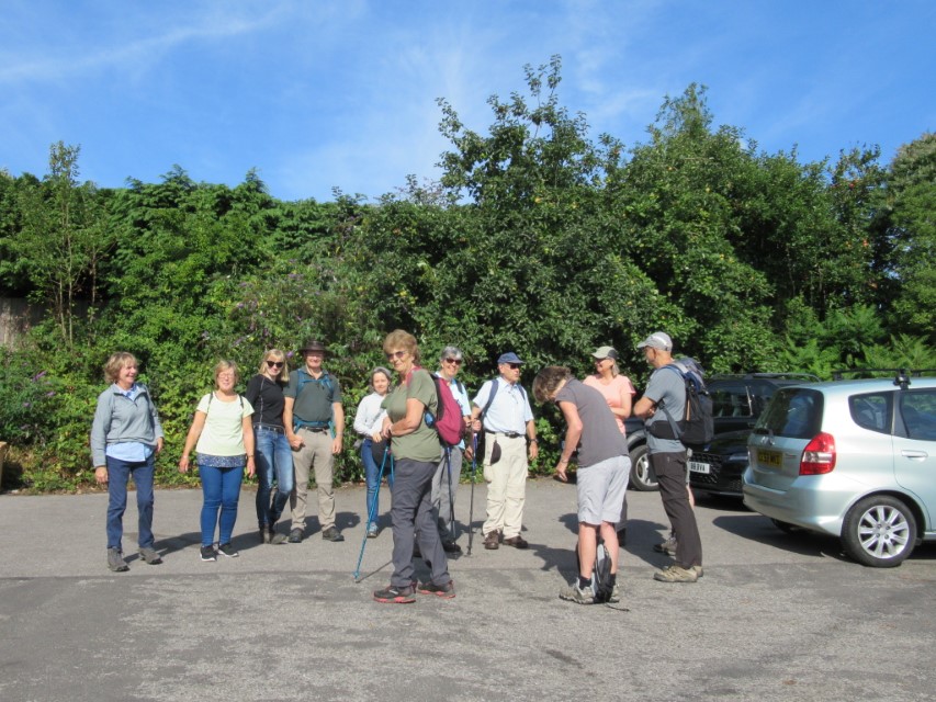
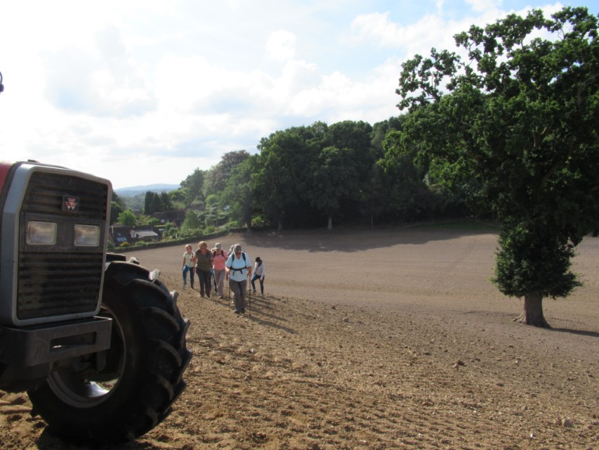
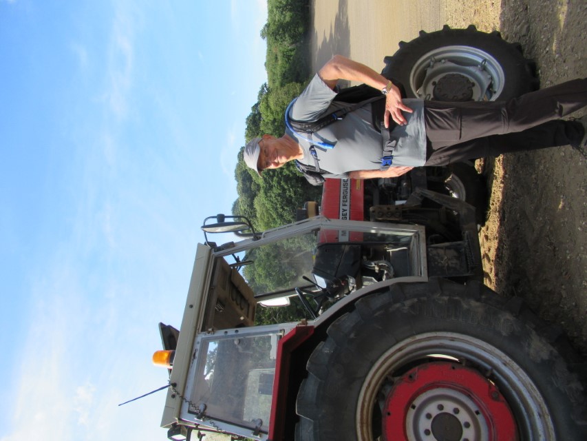
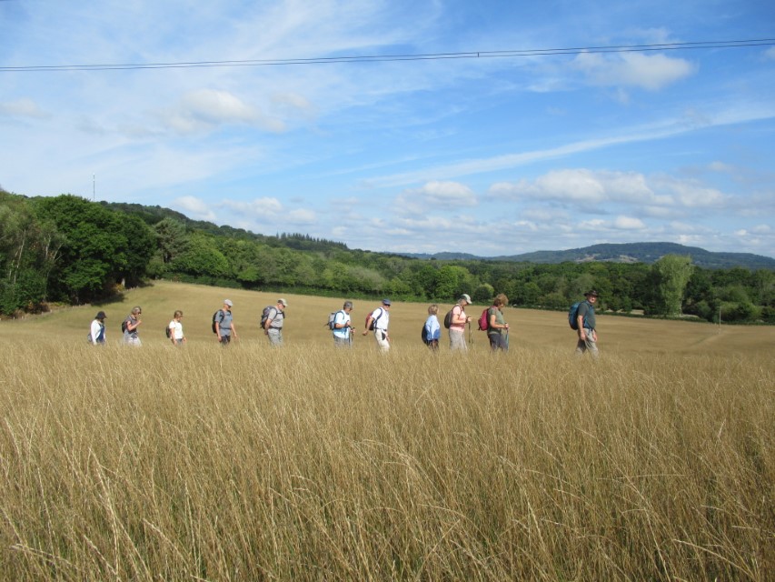
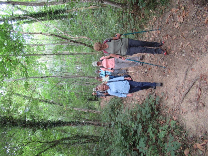
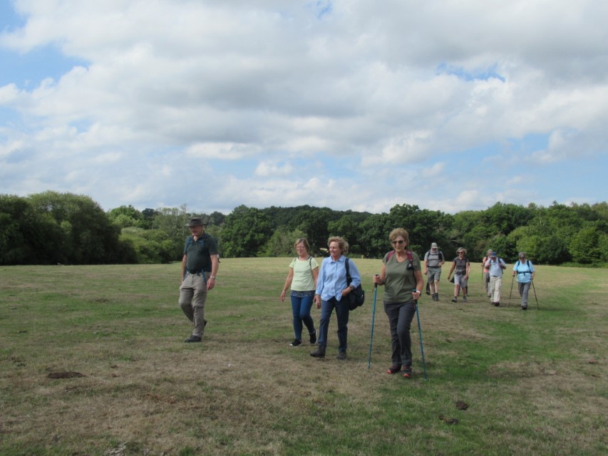
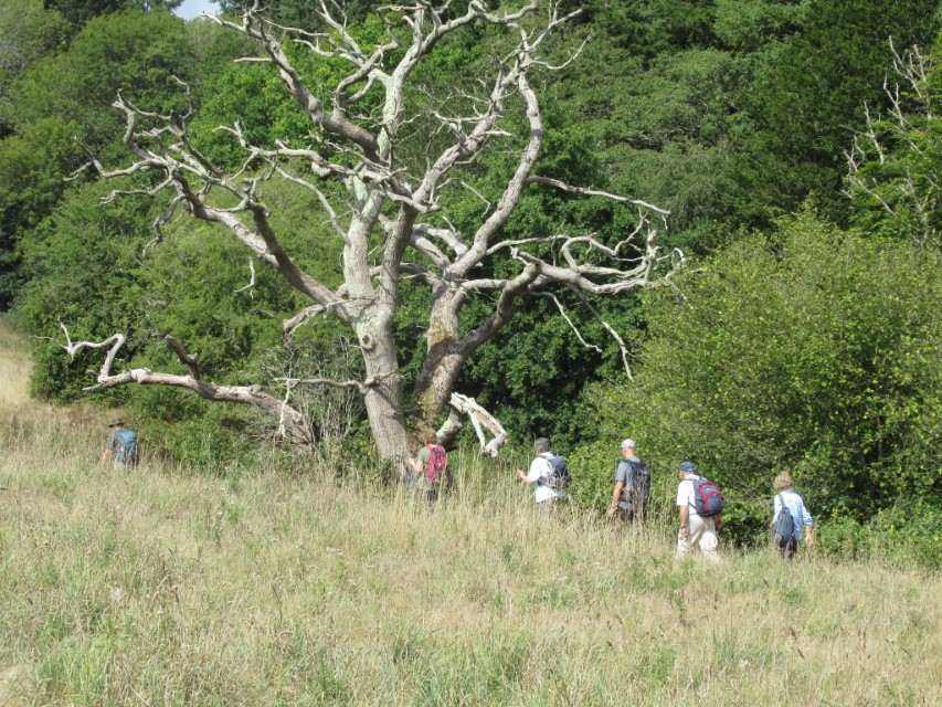
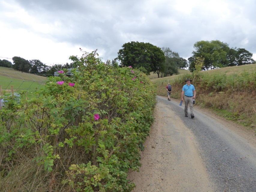
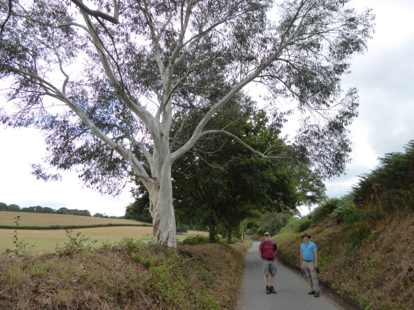
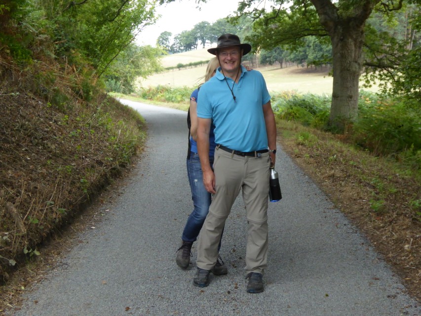
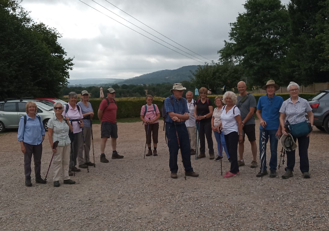
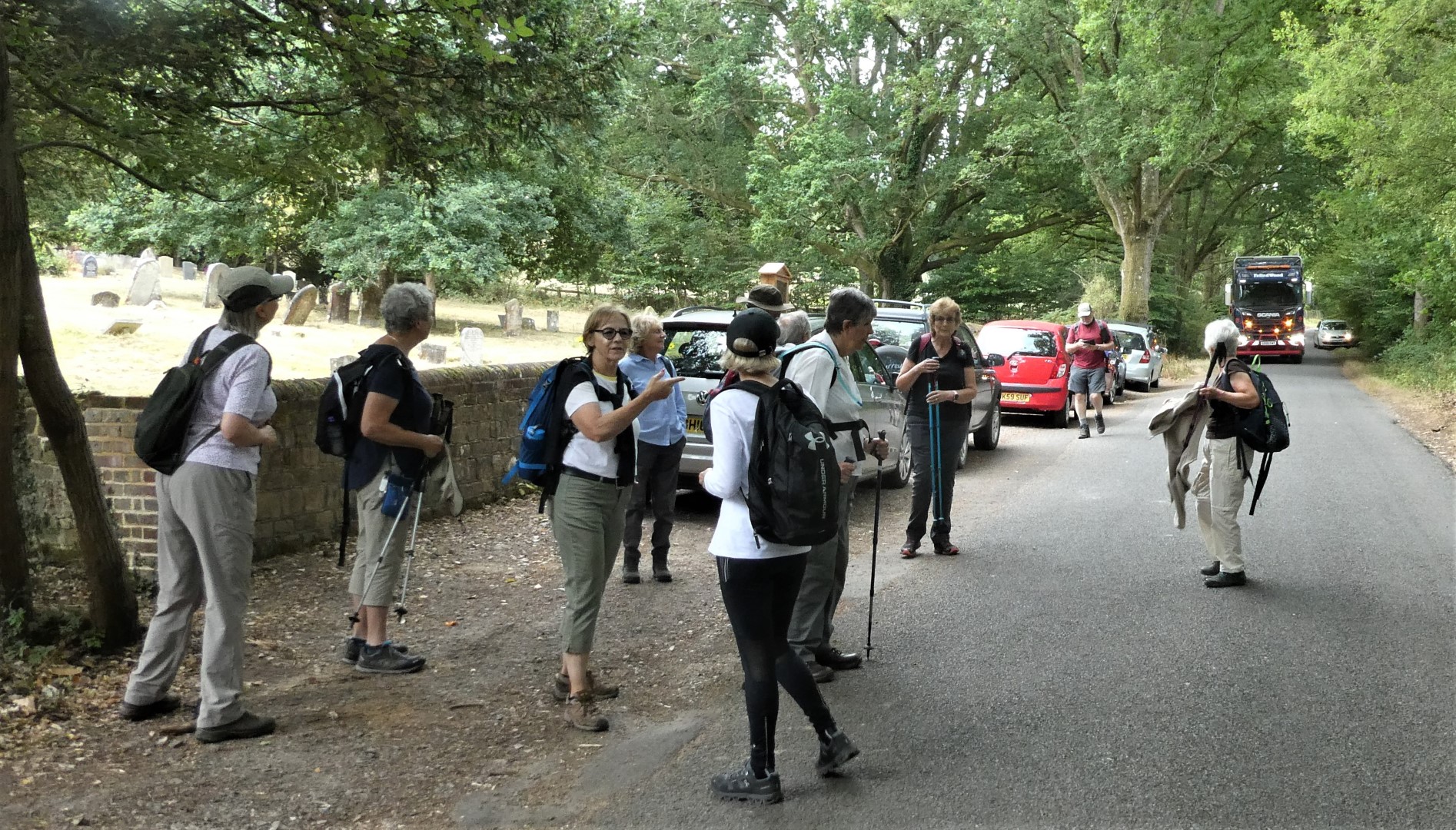
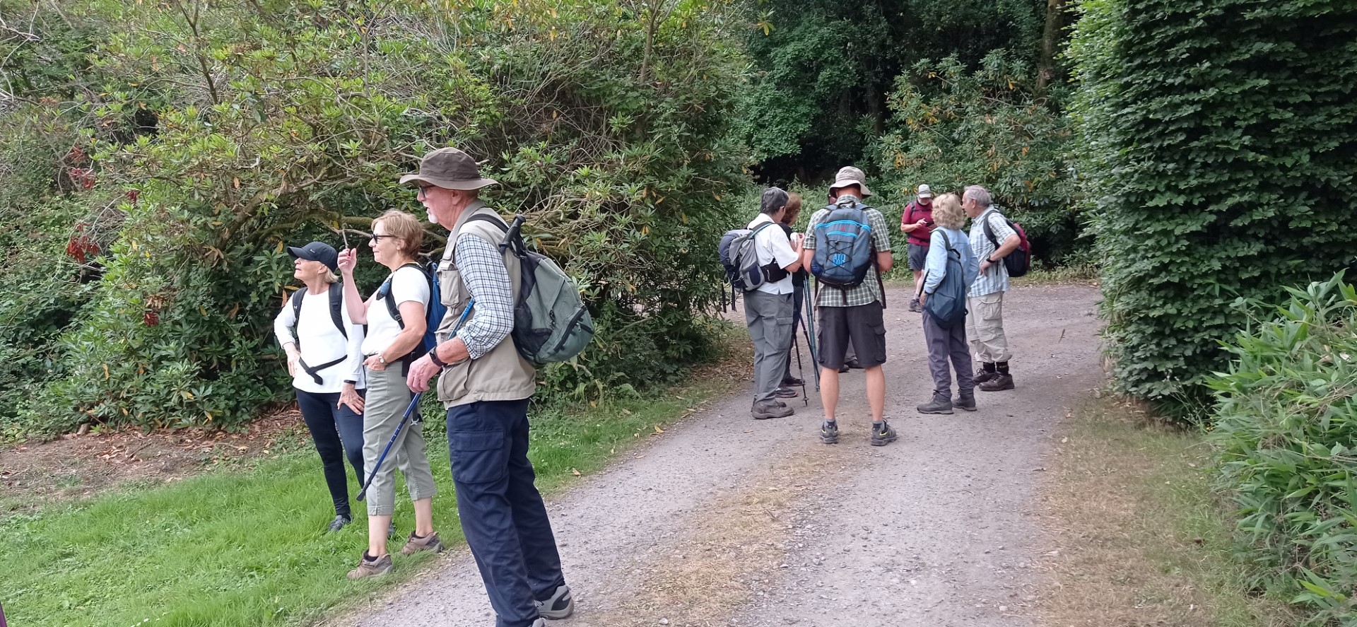
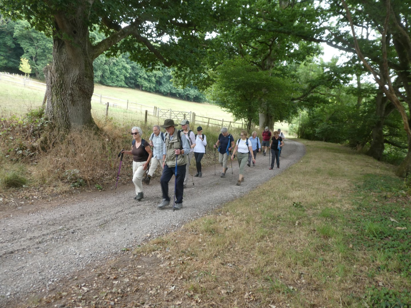
Lodsworth Walk 31st August 2022
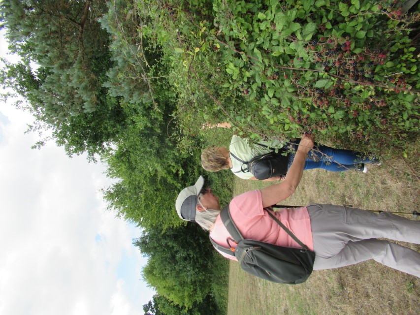
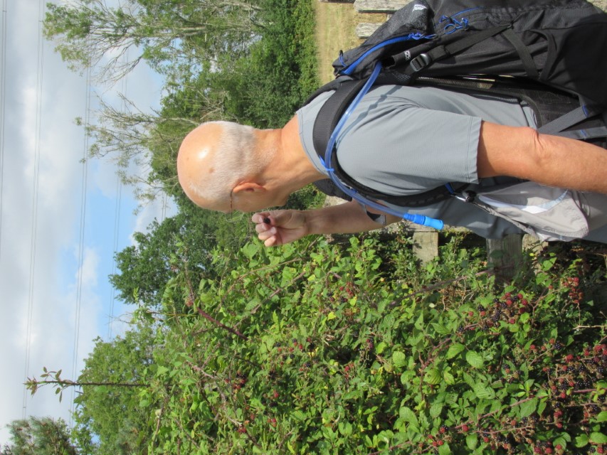
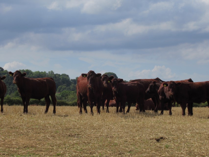
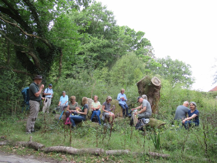
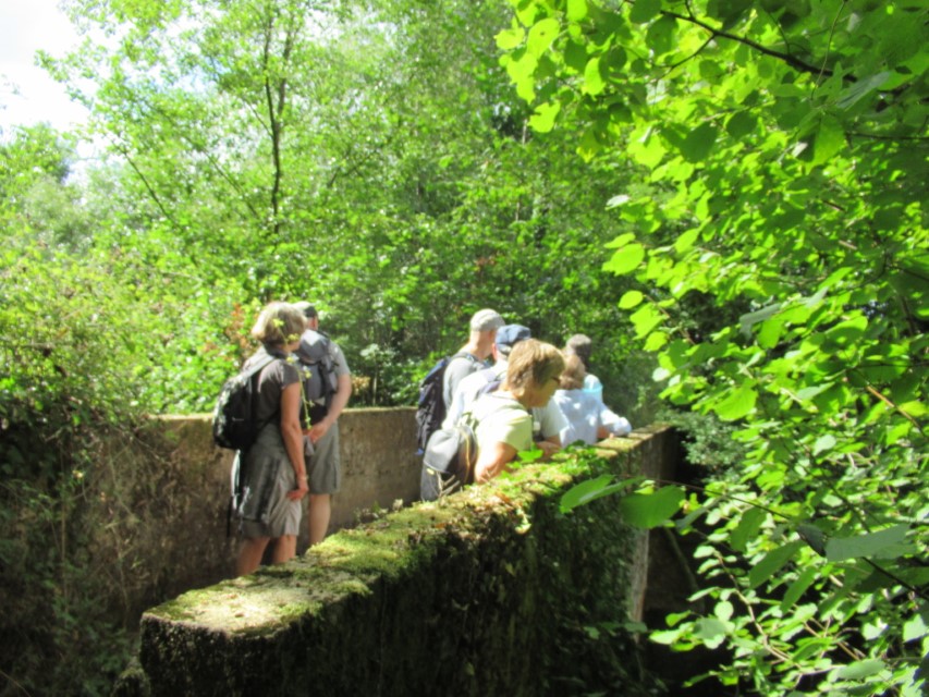
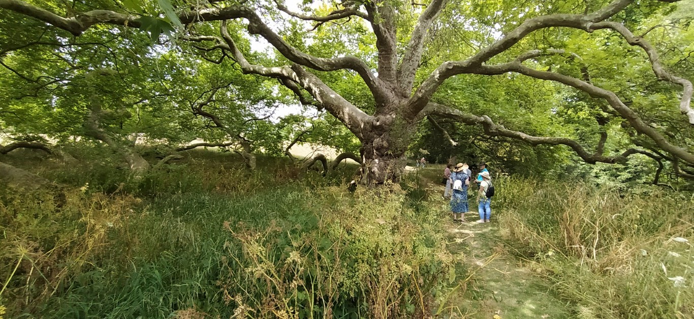
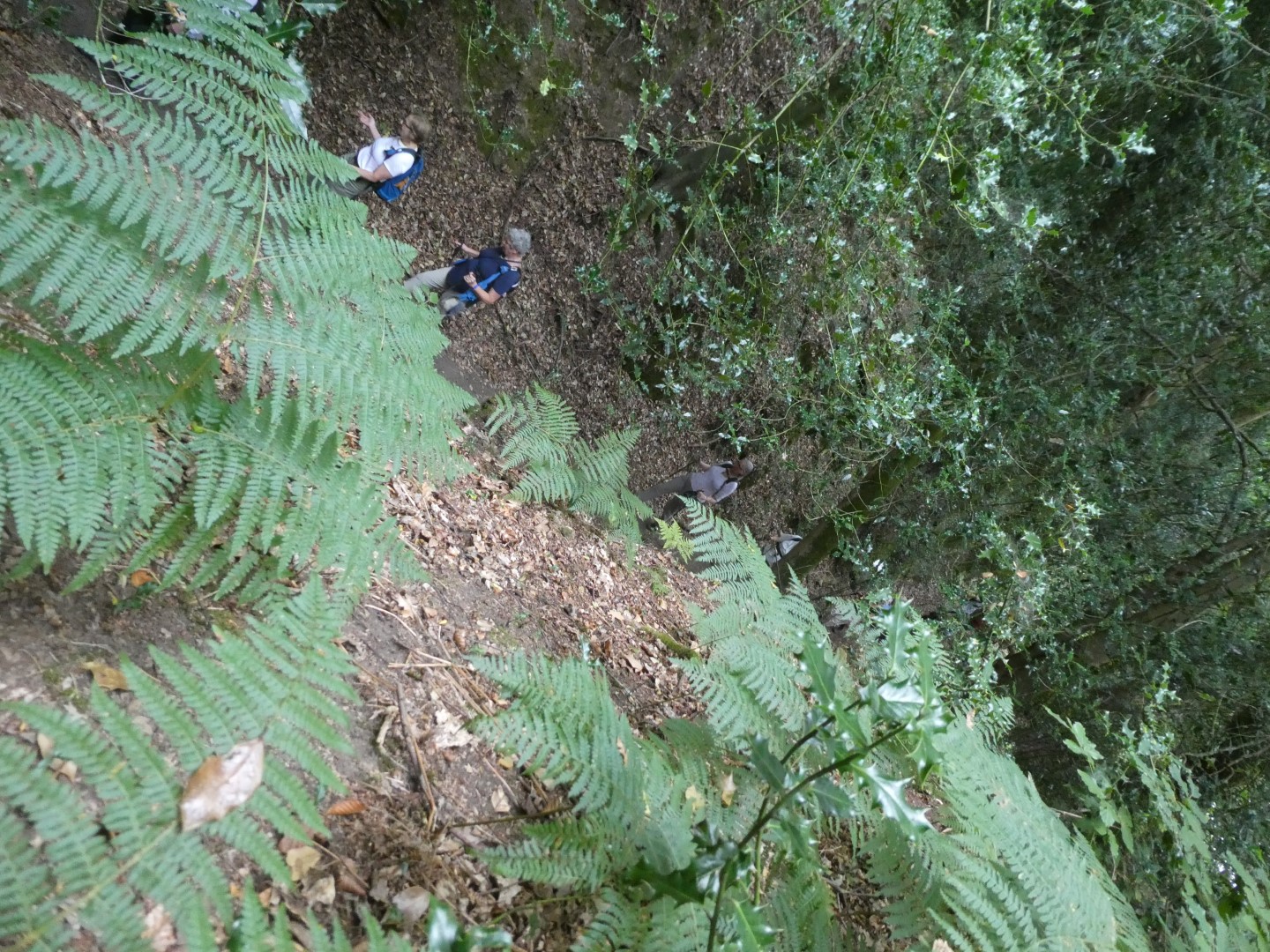
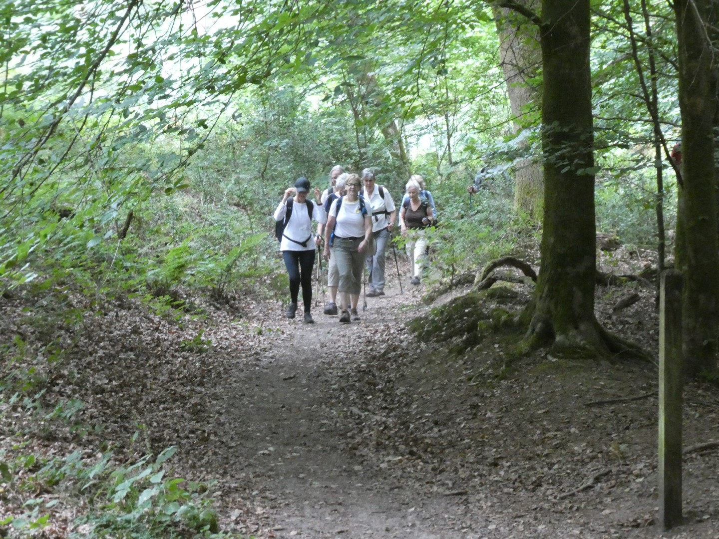
The pre walk entertainment commenced with pretend windfall apple scrumping with the owner’s permission. We left the car park at The Holist, Lodsworth, headed up Gills Lane and School Lane before taking the footpaths off towards Redlands Farm. Jay was sorely tempted to live his childhood dream of driving a tractor. The route picked up The Serpent Trail heading east through fields, and Limekiln Rough woodlands. Some wild blackberry tasting started near Lodge Farm with regular grazing all the way to River. A herd of cattle watched us crossing a field, decided we looked unsavoury and walked off together to adjacent fields. Our welcome coffee break was at carefully placed tree trunk seating at the end of Westland’s Copse lane. A large oak tree caught our attention as we made our way to cross River Common. Dropping down to River Lane we picked up The Sussex Diamond Way to walk a short part towards Lodsworth of the 60 mile long route that was created by the Sussex Ramblers in 1995 to mark their 60th anniversary. The stream at the bottom of River Wood was crossed at Eel Bridge followed by the climb the hill to Oldpark Copse before returning to The Holist for lunch.
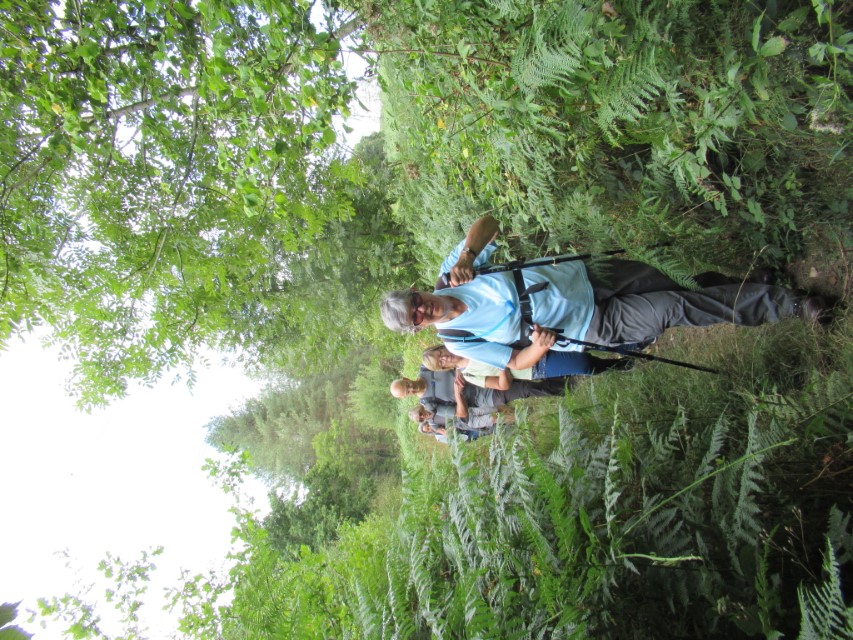

Hydon's Ball walk Monday 29th August 2022
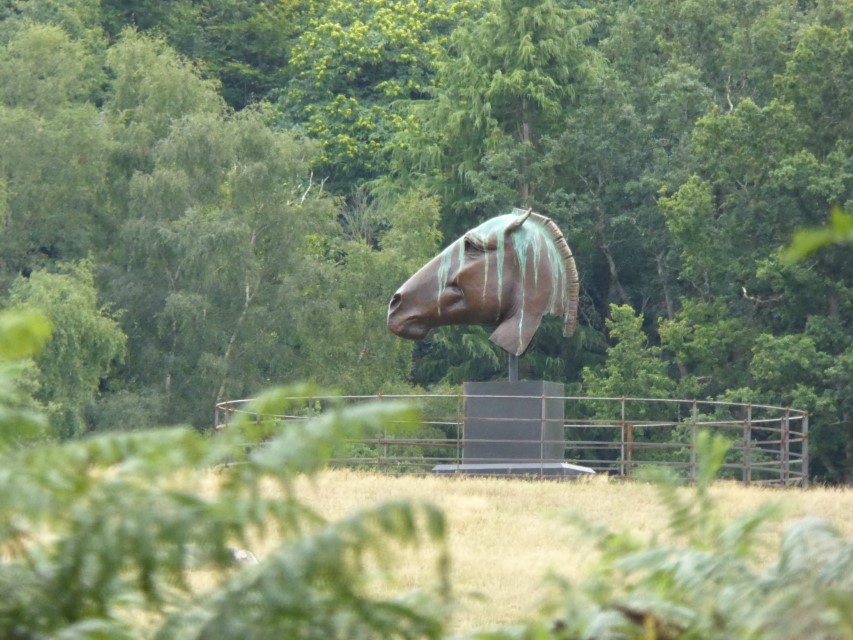
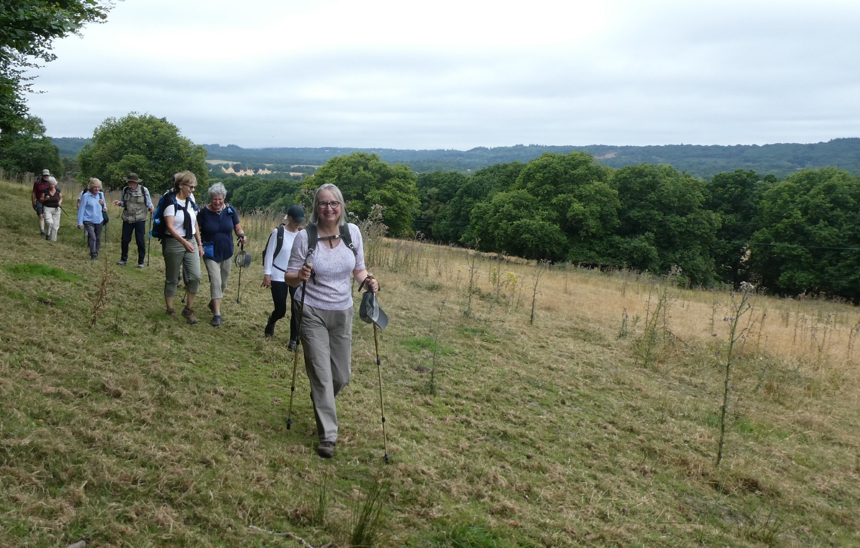
A group of six walkers led by Catherine set out to achieve the 8 mile walk that was cancelled 10 days ago because of rain. Today the weather was perfect for us. We met early in Hydon's Ball Car Park, just south of Milford, before the car park filled up with Bank Holiday folk. First a 20 min short walk before we reached Winkworth Aboretum and decided a coffee was in order to discuss wasps and weirdly shaped 'Alien Acorns' that were falling around us. We walked on across the Aboretum and into the lanes where interesting old houses and horse sculptures kept the conversation going! A picnic lunch followed by the pond in Hascombe after which we peeped inside the church - much admired by the Daily Telegraph, so it appears! 'One of the thousand prettiest churches in England...' We walked some of the Greensand Way with beautiful views of the South Downs and then climbed the last hill of Hydon's Ball, bought in memory of Octavia Hill (by her sister and friend), one of the founders of the National Trust before a welcome downhill path to the car park.
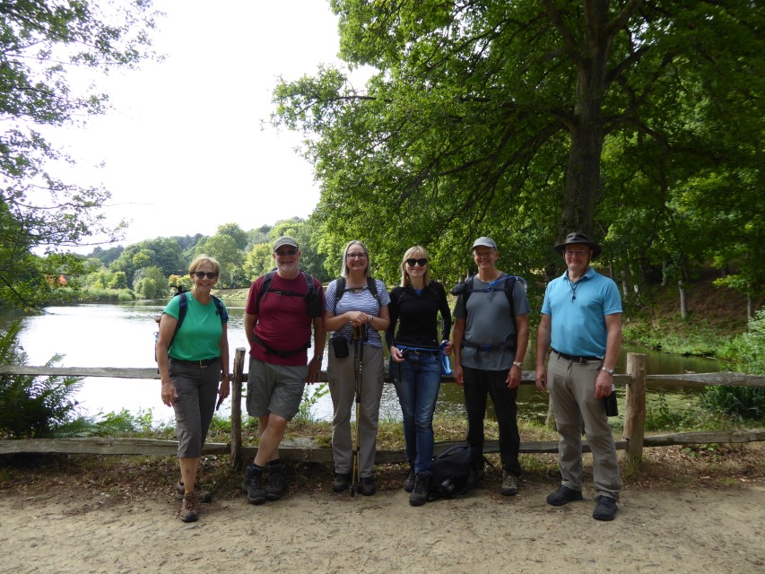
Ready to walk!
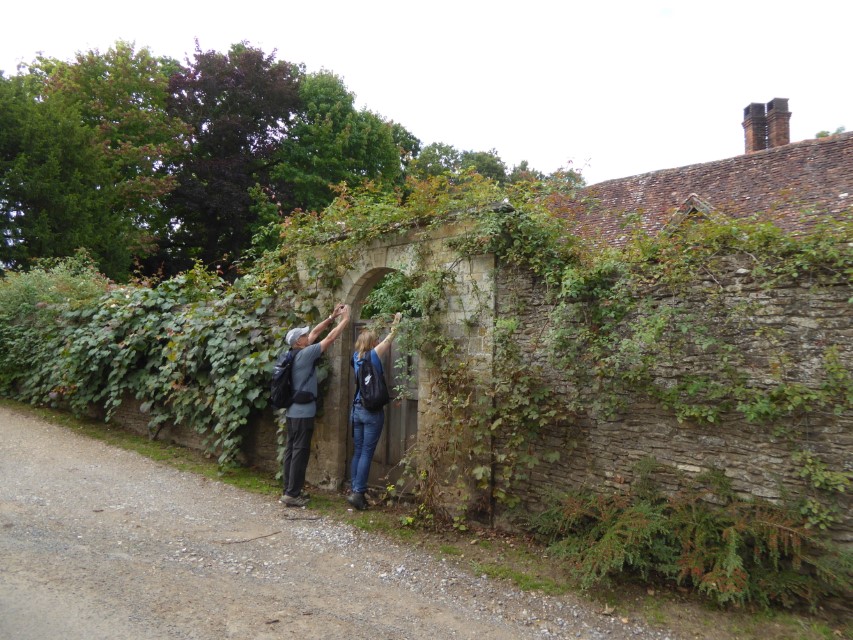
So, what's over that gate?
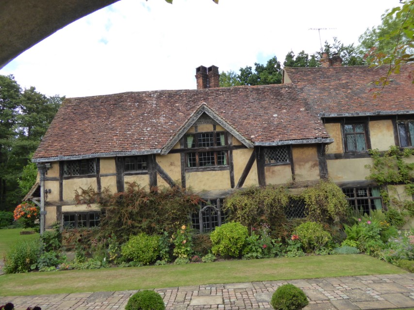
Could well be this lovely house?
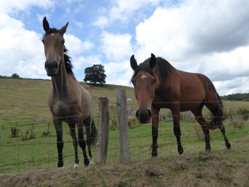
"I'd love a nice handful of grass"
"That's a lovely piece of grazing"
A very shy walker?
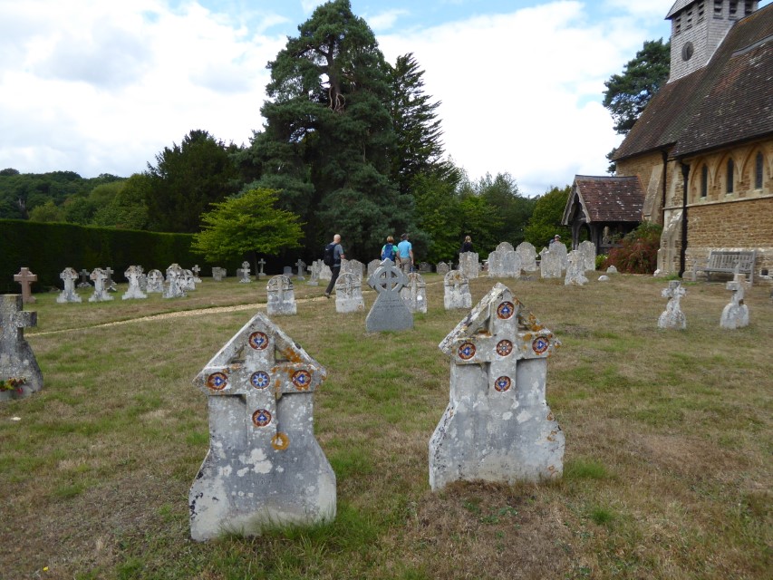
St Peter's, Hascombe
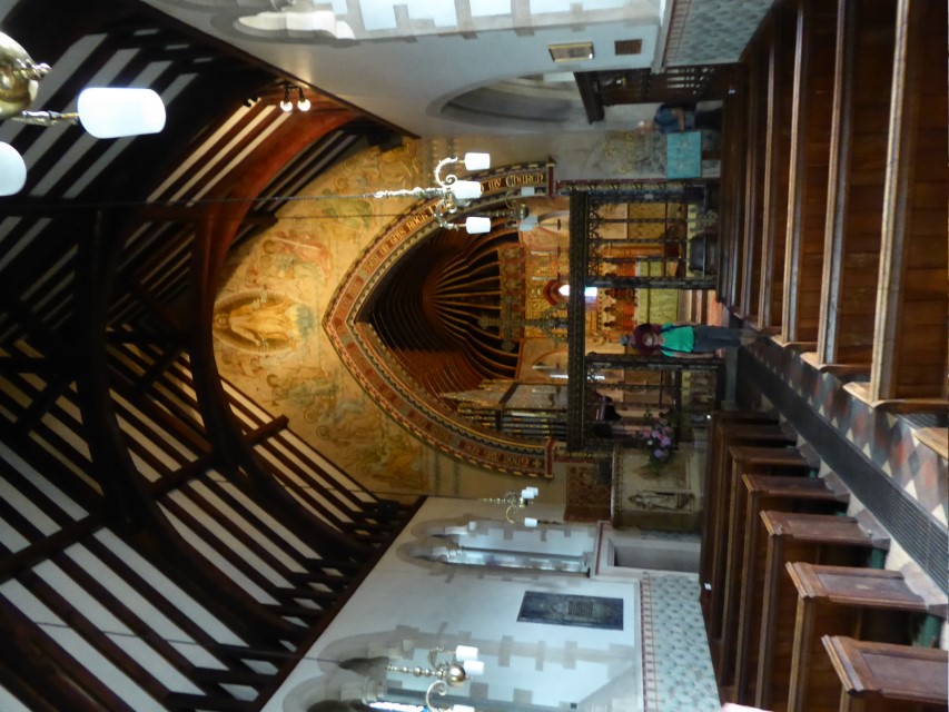
Rebuilt in 1862, with rich decoration in the style of the original 13thC church
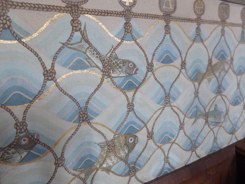
The nave is surrounded by this painting of the miraculous fish catch made in the Sea of Galilee.
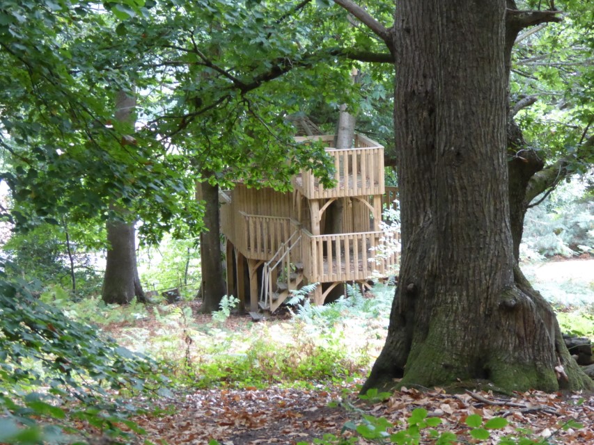
Tree house, rumoured to be the inspiration for a Chequers fantasy.
Just hope this isn't another fishy story from Galilee....
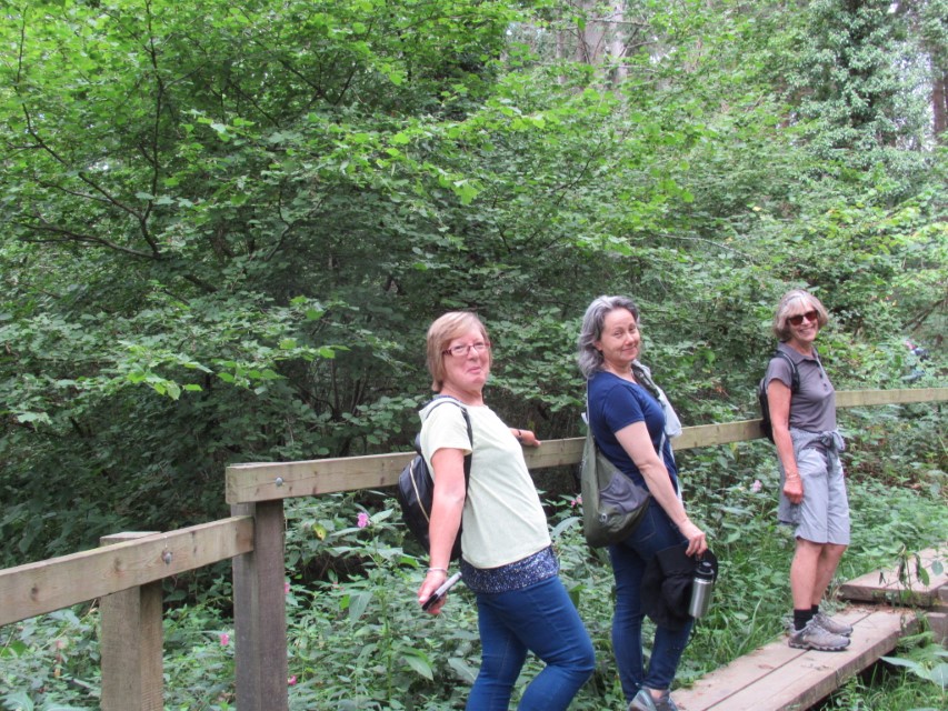
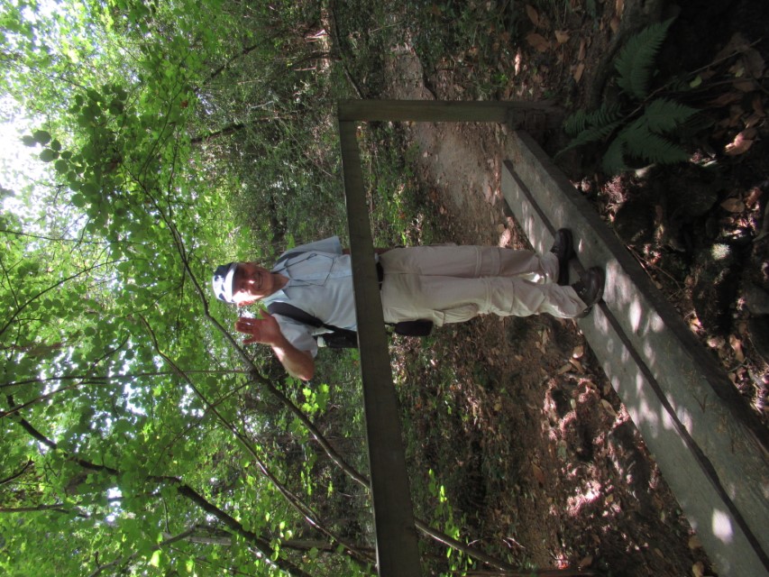
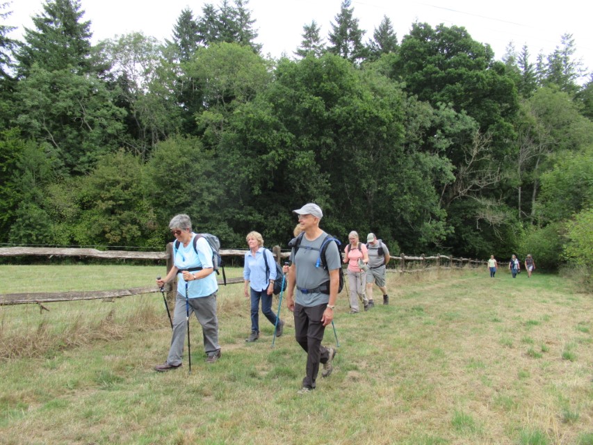
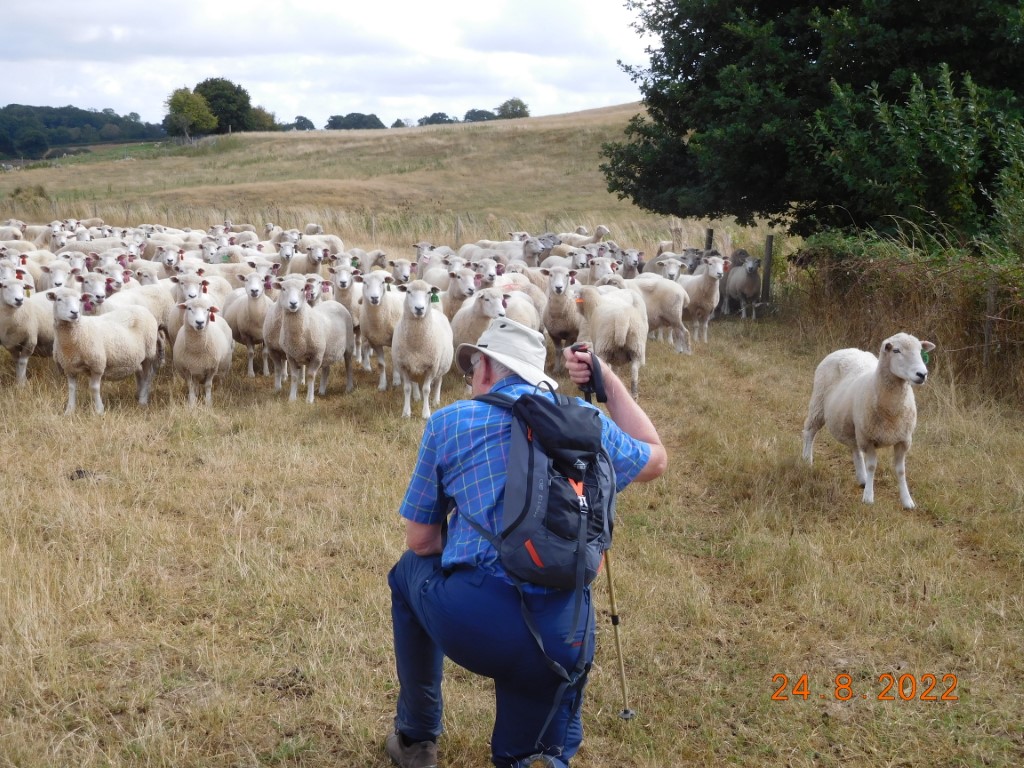
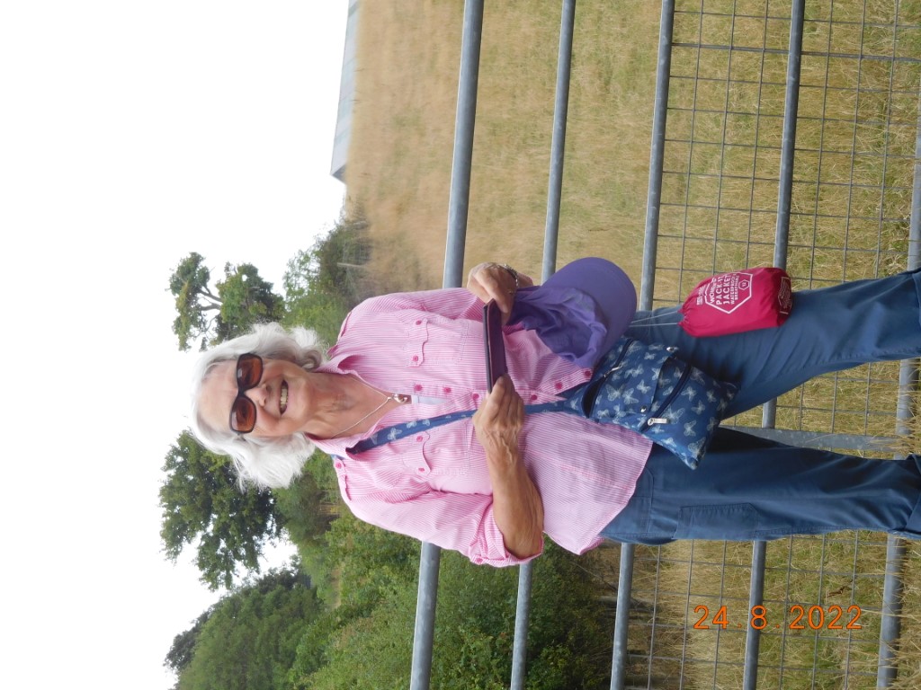
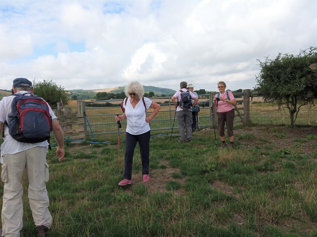
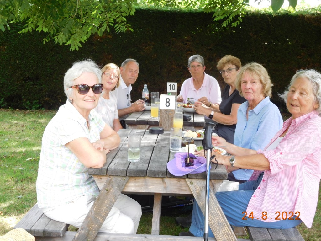
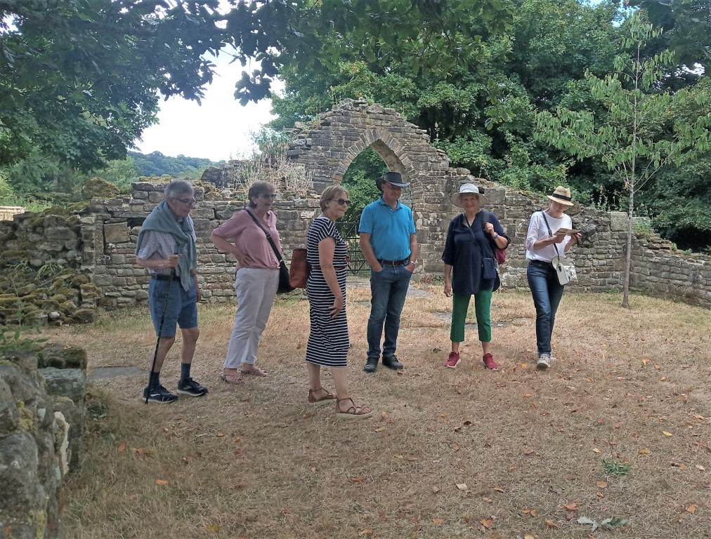
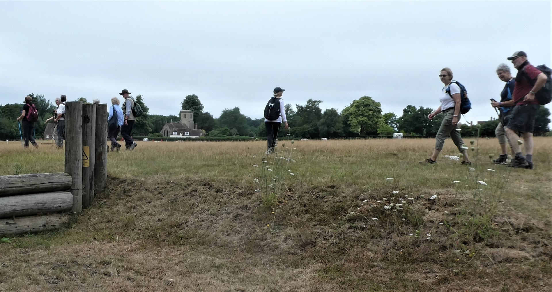
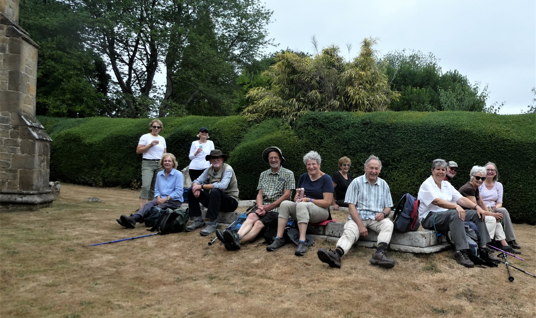
Elsted walk on 24th August 2022
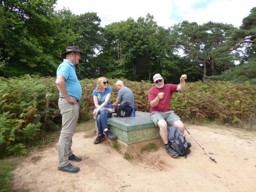
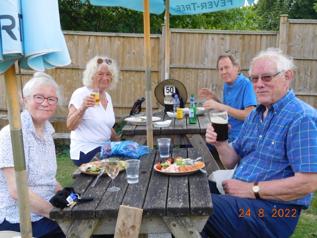
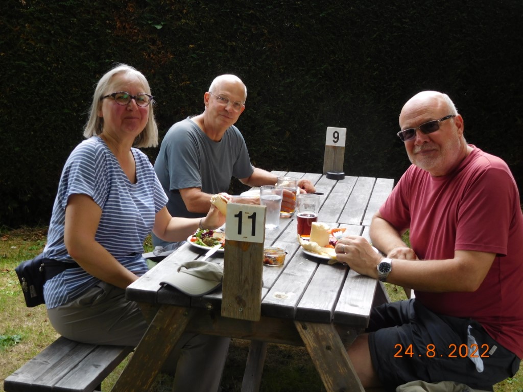
After one Wednesday walk cancelled because of the extreme heat, the next one because of the extreme rain. we were at last on our feet, guided by Celia and Miguel around the Elsted village area. With plenty of animal life to see, conditions stayed good for the walk, although somewhat humid, so a return to the Three Horseshoes for re-hydration was much appreciated. The walk was about 4 miles and NO stiles!
Ready to walk
Heading for the South Downs
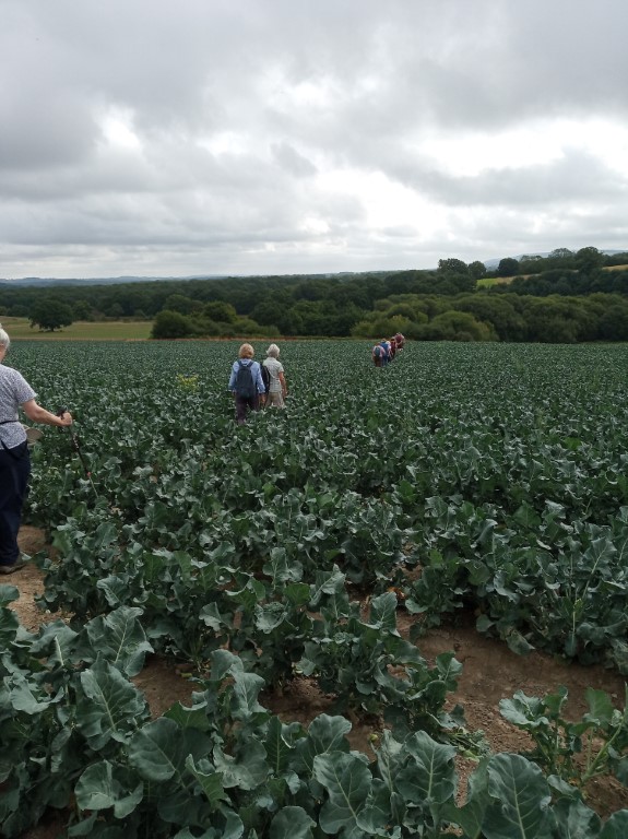
Nice field of cabbages
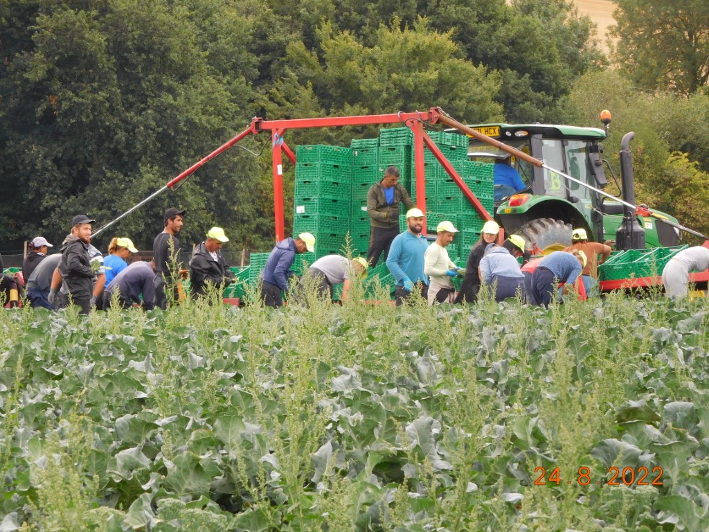
Aha - so that's how those cabbages get into the supermarket
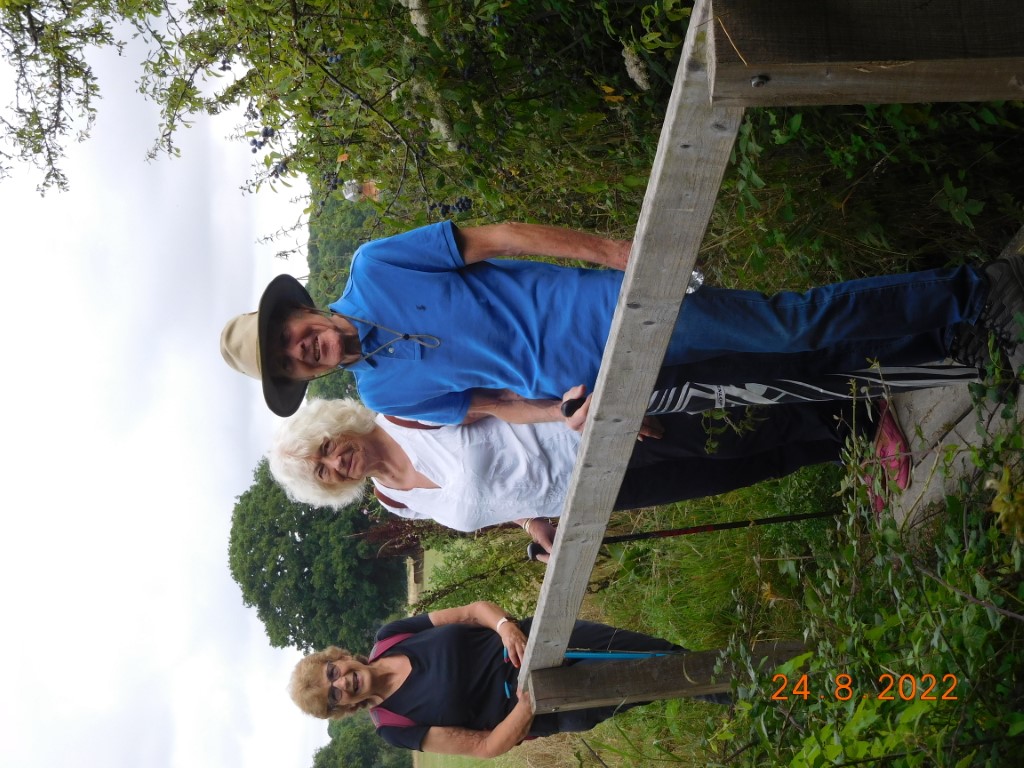
Stylish trio?
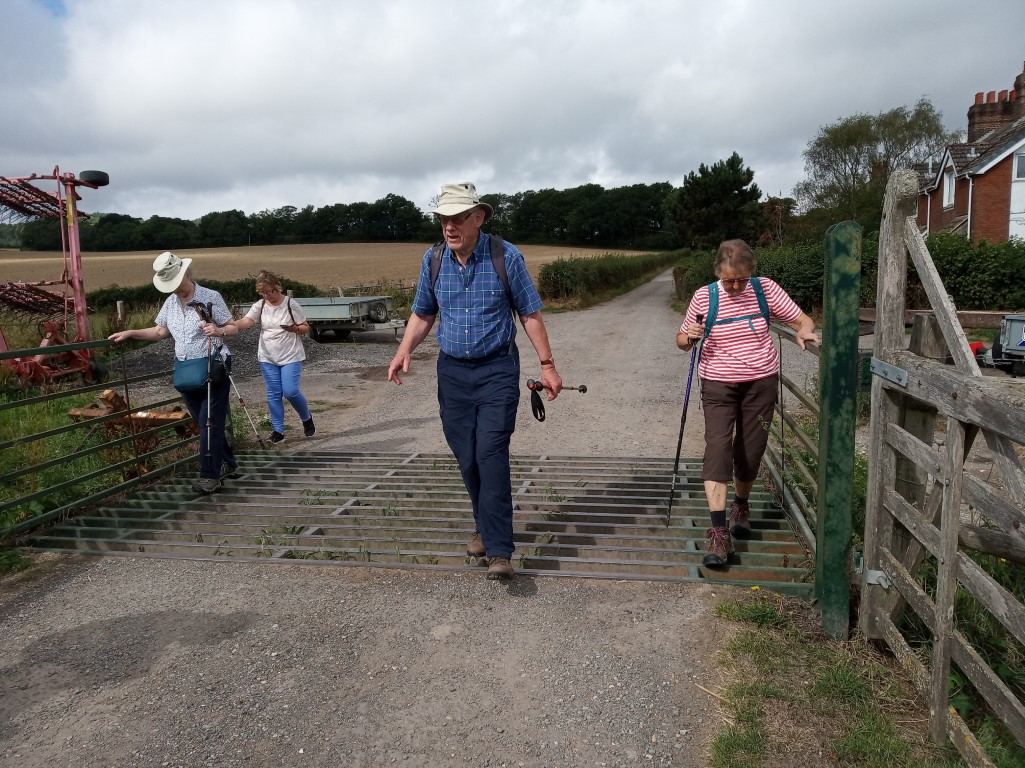
Carefully does it
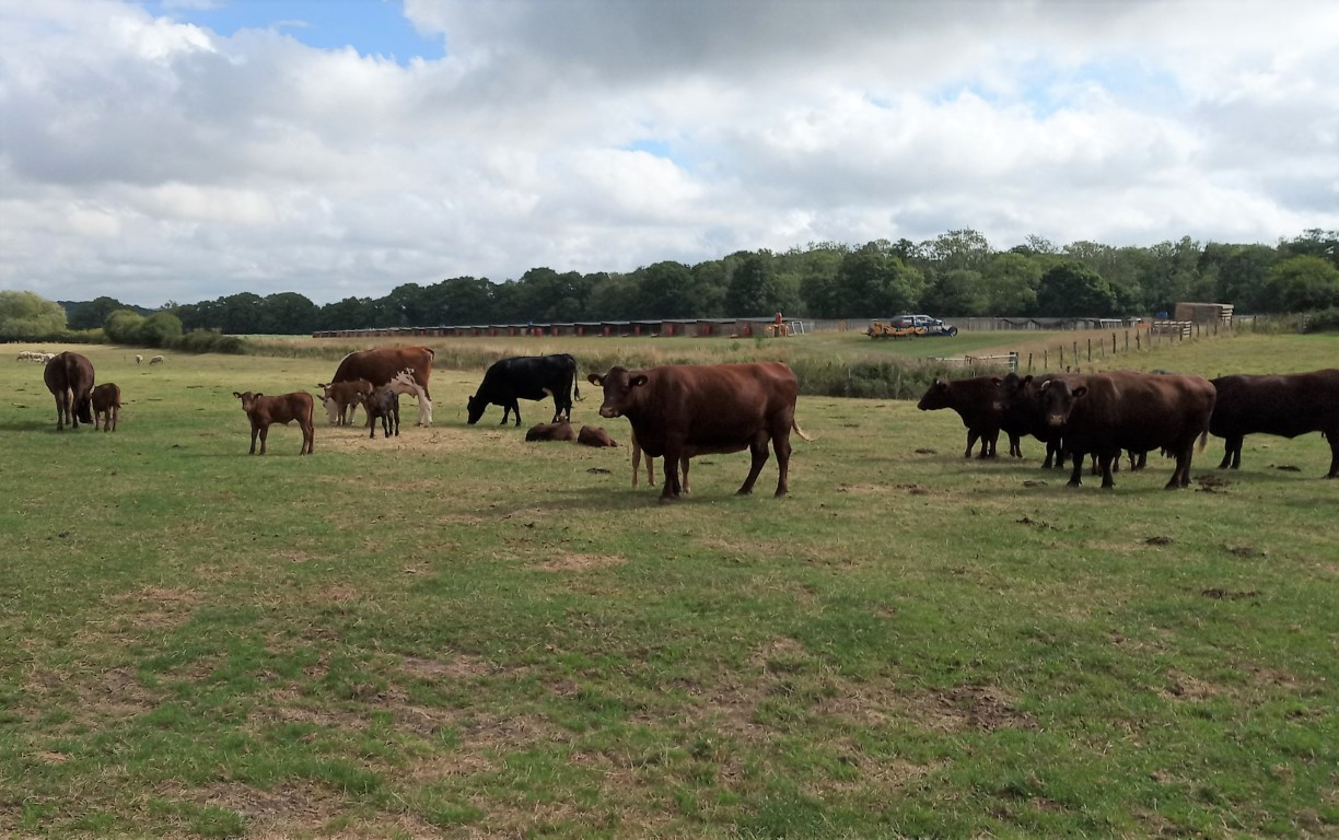
Nursery field for the cattle
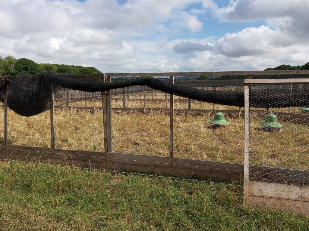
Big time nursery for birds
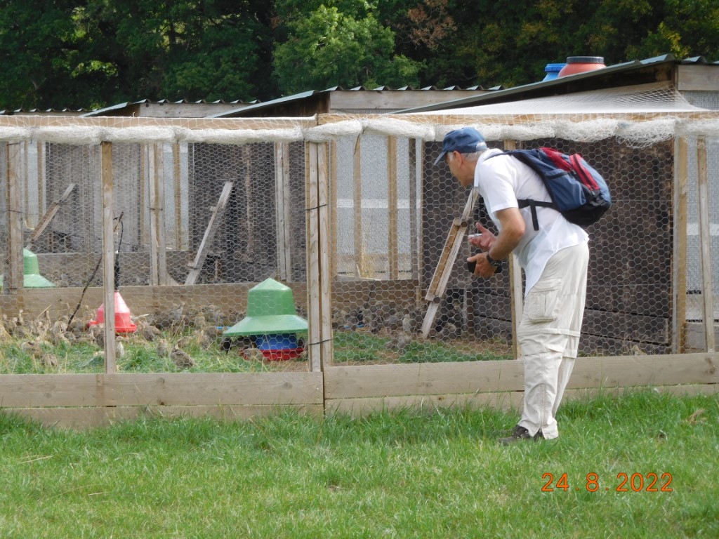
Pheasants, hoping to make it past the 1st February 2023!
Looking sheepish
"Just checking my phone"
"Now, where did I put my other stick......?"
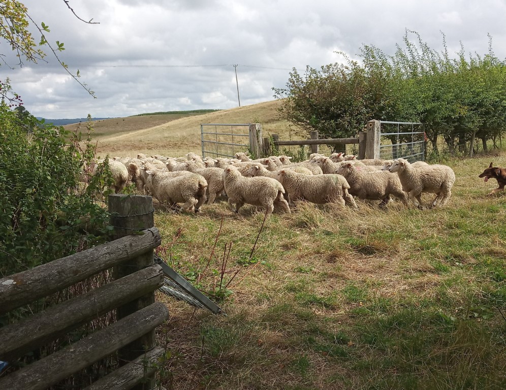
To move 40 sheep, all you need is a dog
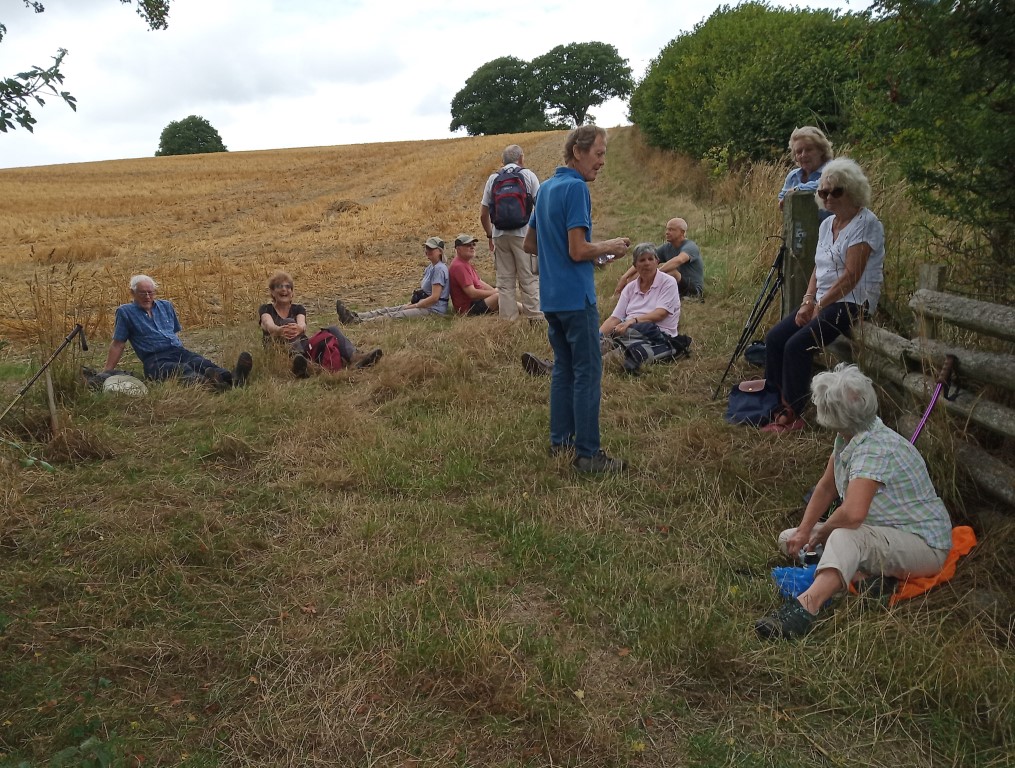
Drink stop and a sit down
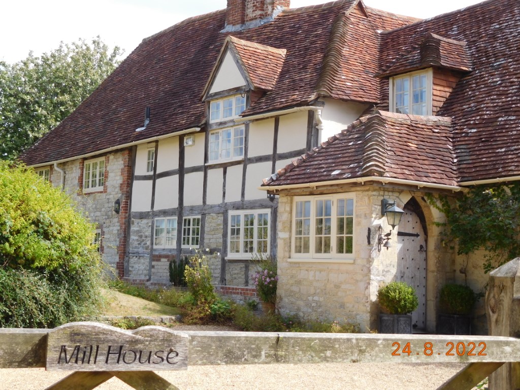
Mill House, getting closer to the pub!
Ah, that's better.
Long drink desperately needed!
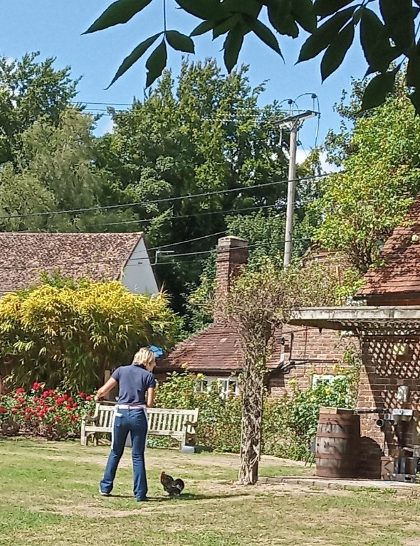
Cockerel kept chasing the waitress
Thanks for the walk, leaders!
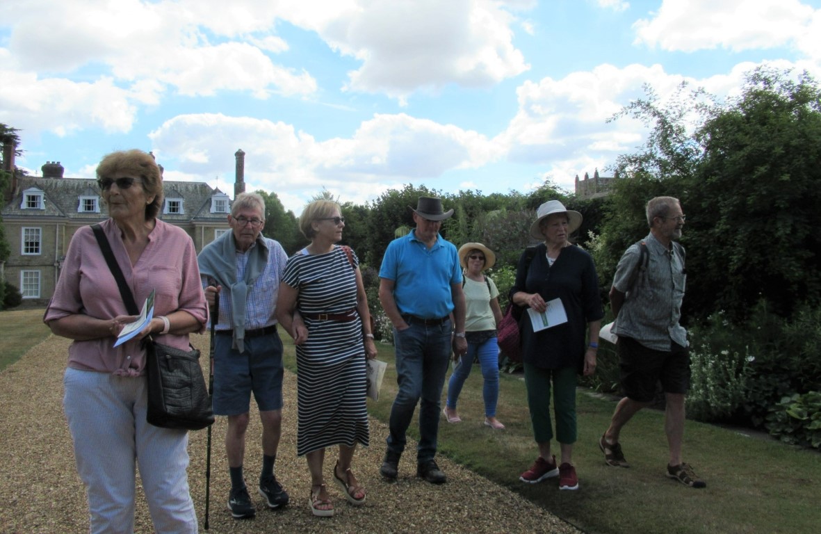
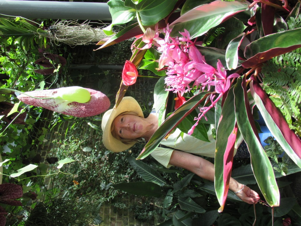
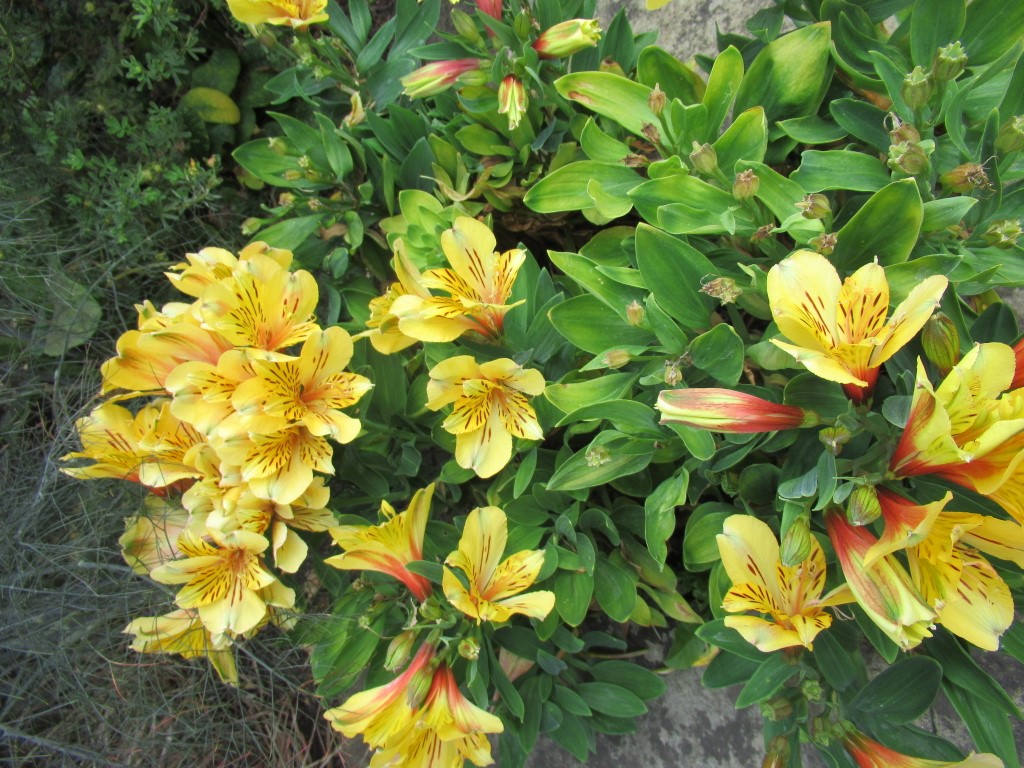
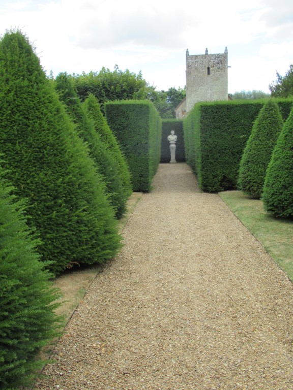
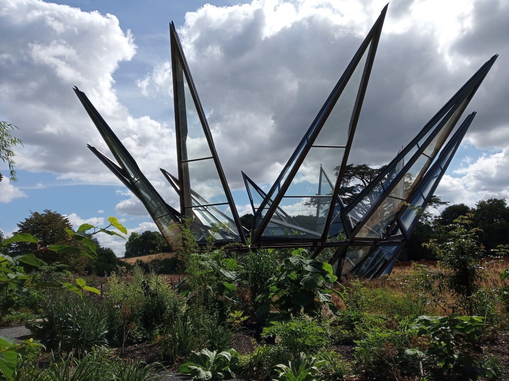
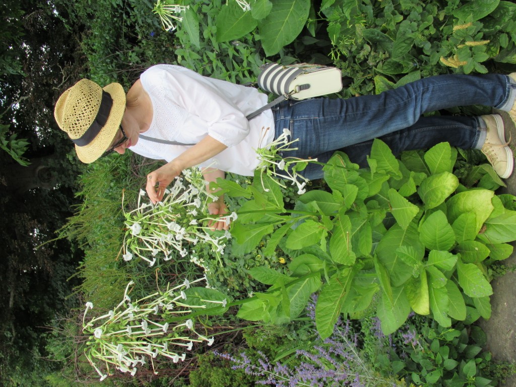
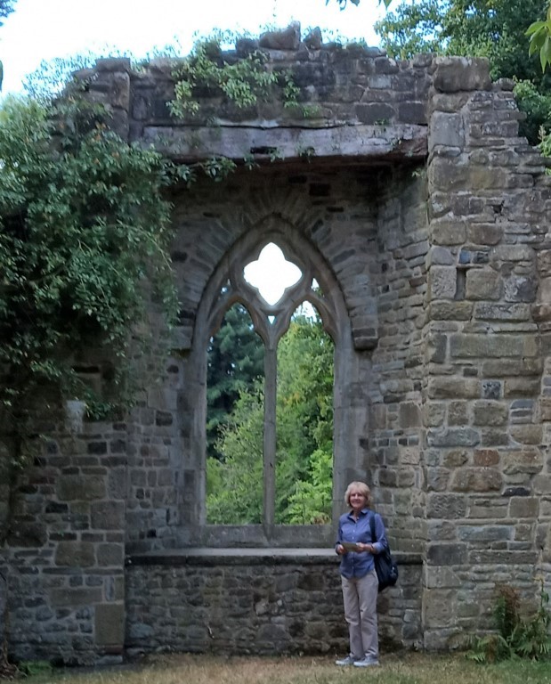
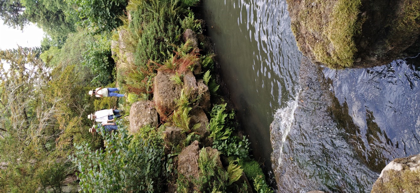
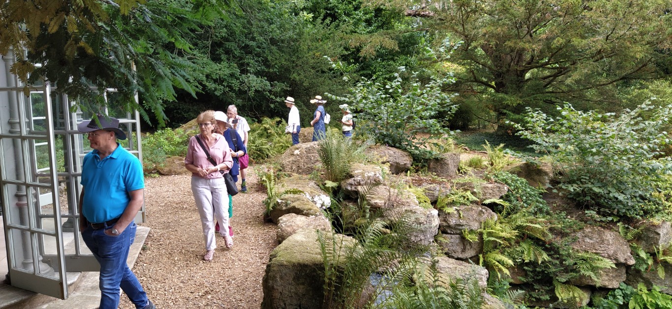
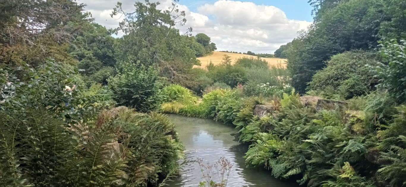
Woolbeding Garden visit 4th August 2022
Bernard and Celina had organized this outing to the Gardens we often walk by, but don't necessarily spend any time inside. After catching the NT mini bus transport from The Grange Car Park we spent several hours exploring these Gardens, open only on Thursdays and Fridays for the next two months before closing for the winter.
"the greenest valley with the prettiest river in the world" Benjamin Disraeli PM 1868 & 1874-80.
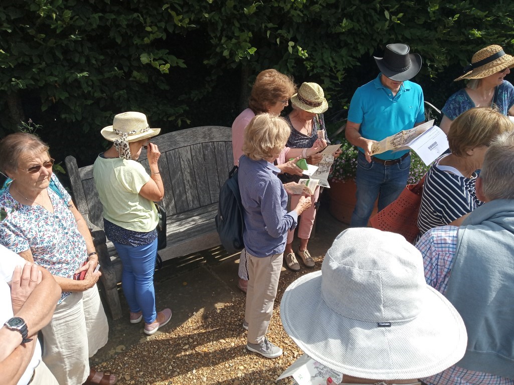
Now, where shall we go??
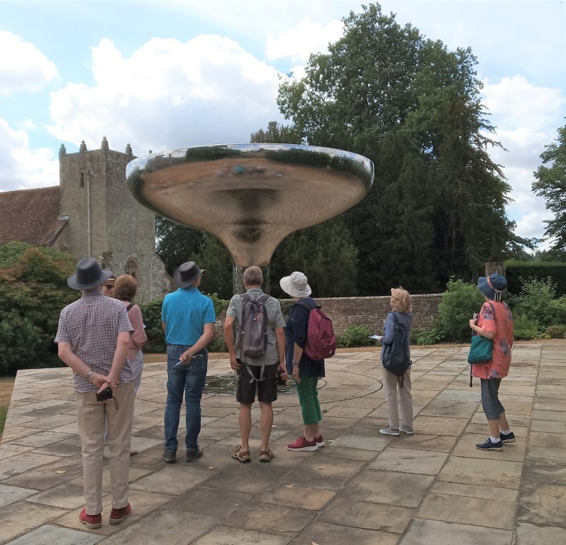
Sculpture by William Pye whose works with water are worldwide
Formal garden area
In the original greenhouse.
The new glasshouse
The "ruined" abbey, actually built about 20 years ago

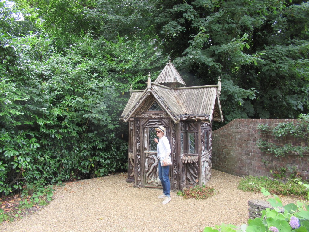
Hermits Hut
Approaching the Gothic Summer House
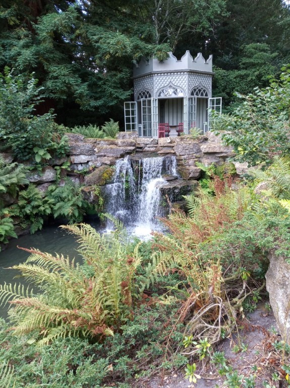
Gothic Summer House
No time to rest inside
View from the Summer House
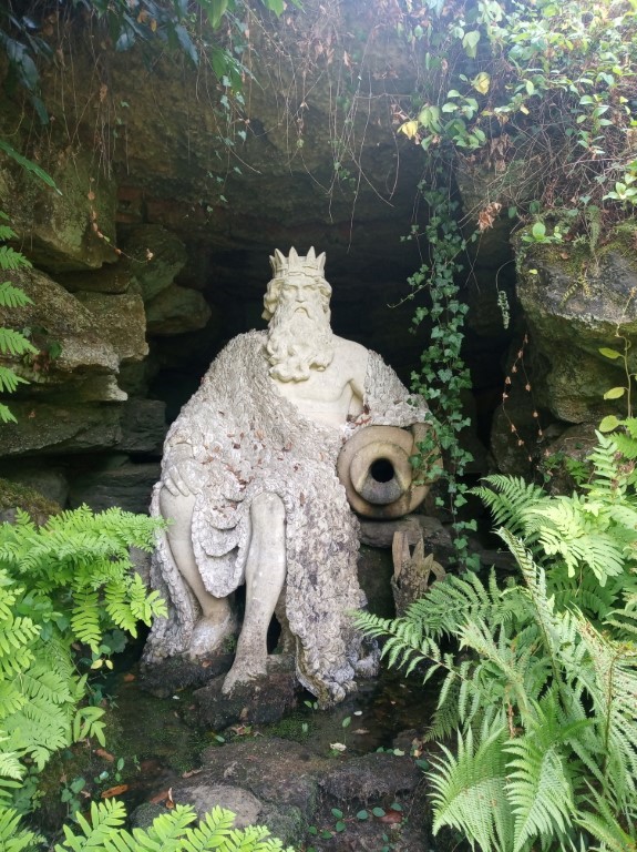
We had a River God to find
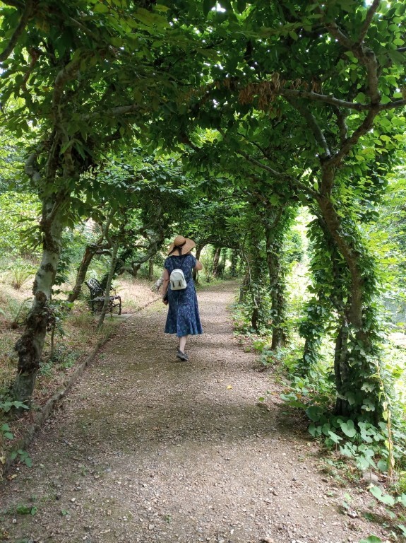
Hornbeam tree tunnel
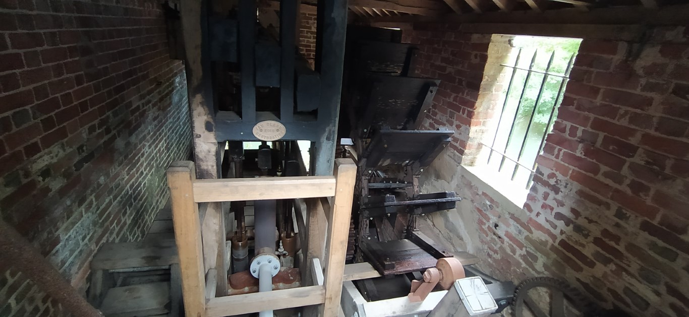
Inside the Beam Pump House, once used to pump Rother water up to the house
Summer House in the Terrace Garden.
Iping walk on 3rd August 2022
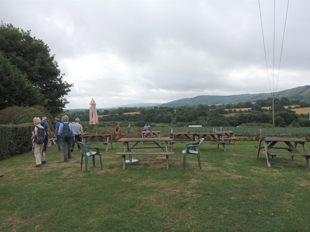
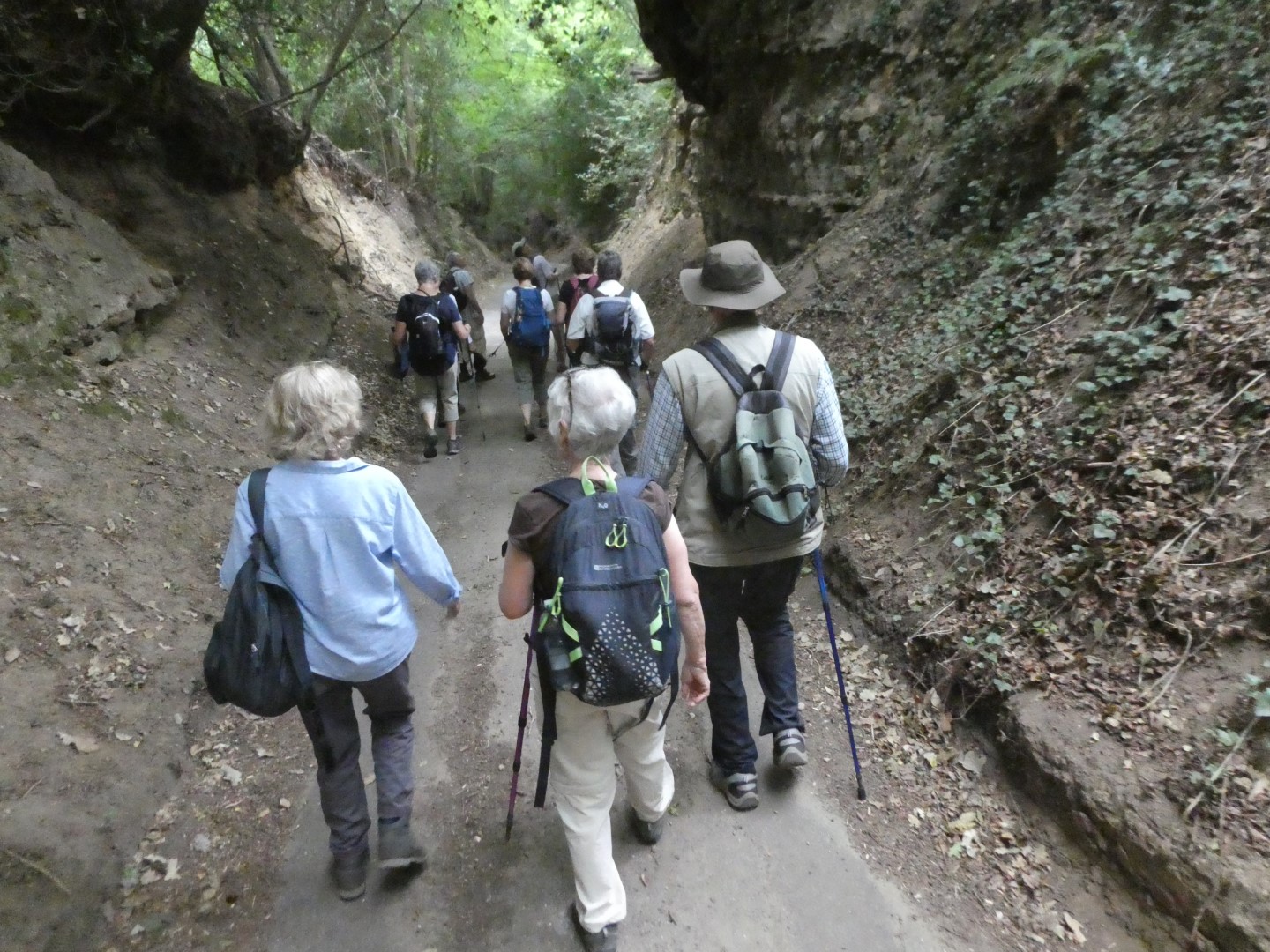
We met up outside Iping Marsh Graveyard, Catherine and Andy then leading us and guest walker Janette up the Serpent Trail to Titty Hill. From there we headed South towards Oakham Common and Iping, after passing through the Iping Cross Country Course. No-one was foolish enough to attempt a jump so we arrived safely at Iping Church for our drinks break. The church has been rebuilt several times, the last time being in 1885, but there are many older residents in the church yard. After refreshments we passed through a field of asparagus and eventually found the path to take us through the grounds of the Chithurst Buddhist Monastery. Accommodation, food and teaching are offered for free, but the minimum period for a woman staying there is a month, if she's not been there before. Strangely the minimum period for a man is 3 nights. We tried very hard to be respectfully quiet for the following 1/2 mile, before we found Moorhouse Lane and back to our start point. We then moved on to the Jolly Drover where we were very well looked after.
Luckily that lorry was actually reversing!
Heading for Titty Hill
Deep gully as we approached Oakham Common
Oakham Common
One too many paths to choose from.
Iping Cross Country Course
Drinks break
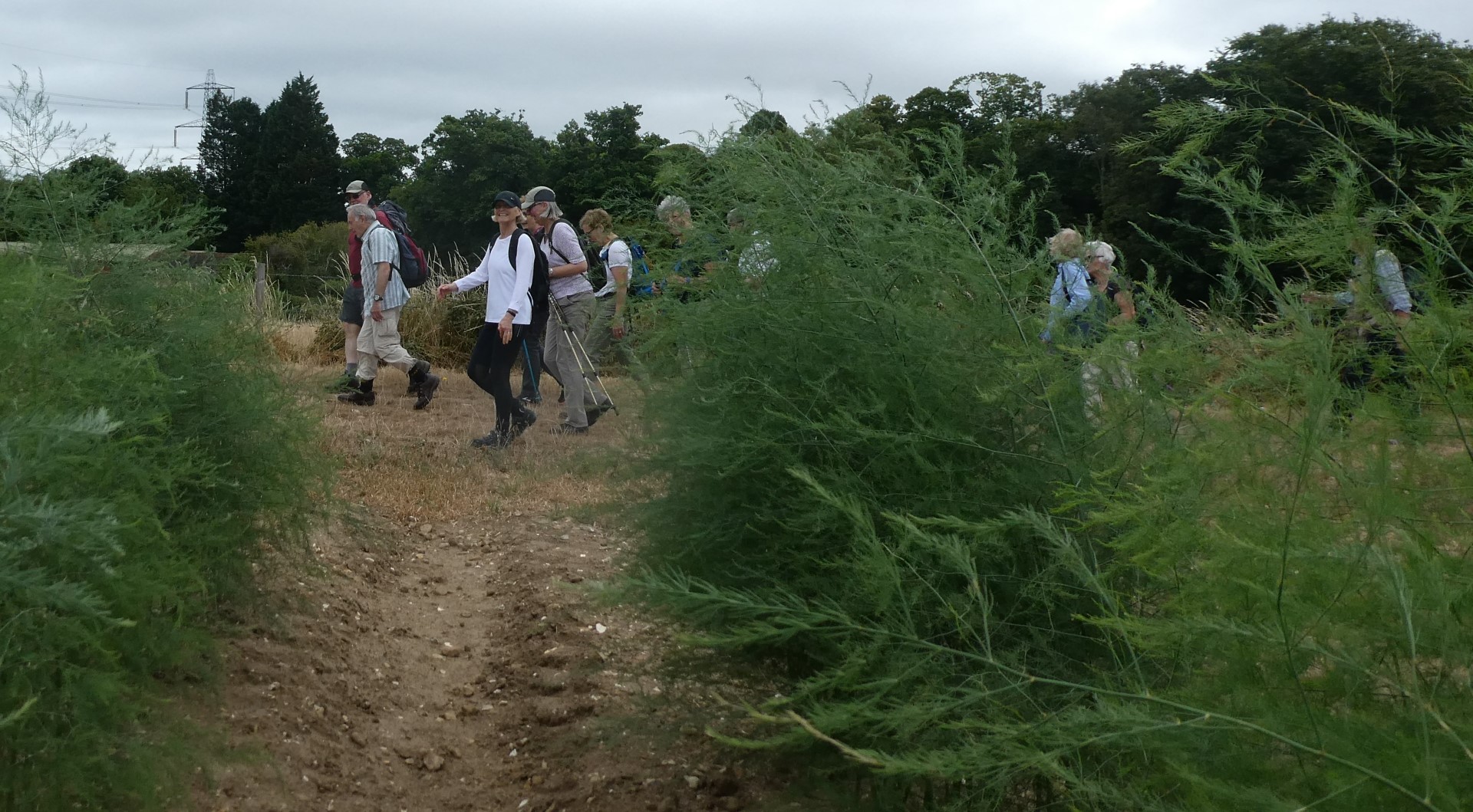
Asparagus field
Descending Hammer Lane
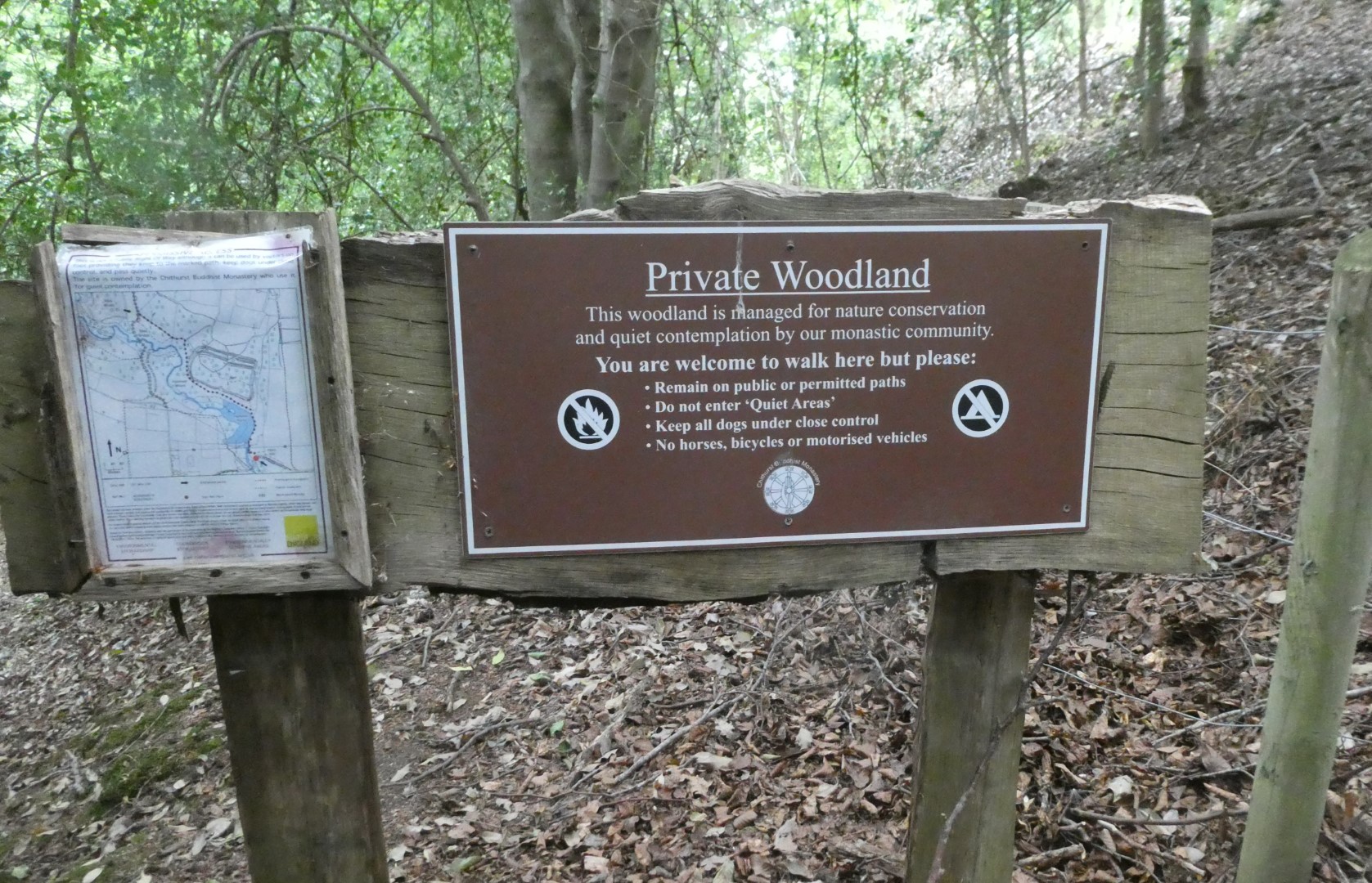
Entrance to Chithurst Monastery
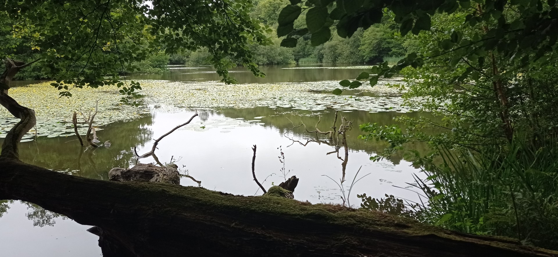
Hammer Pond
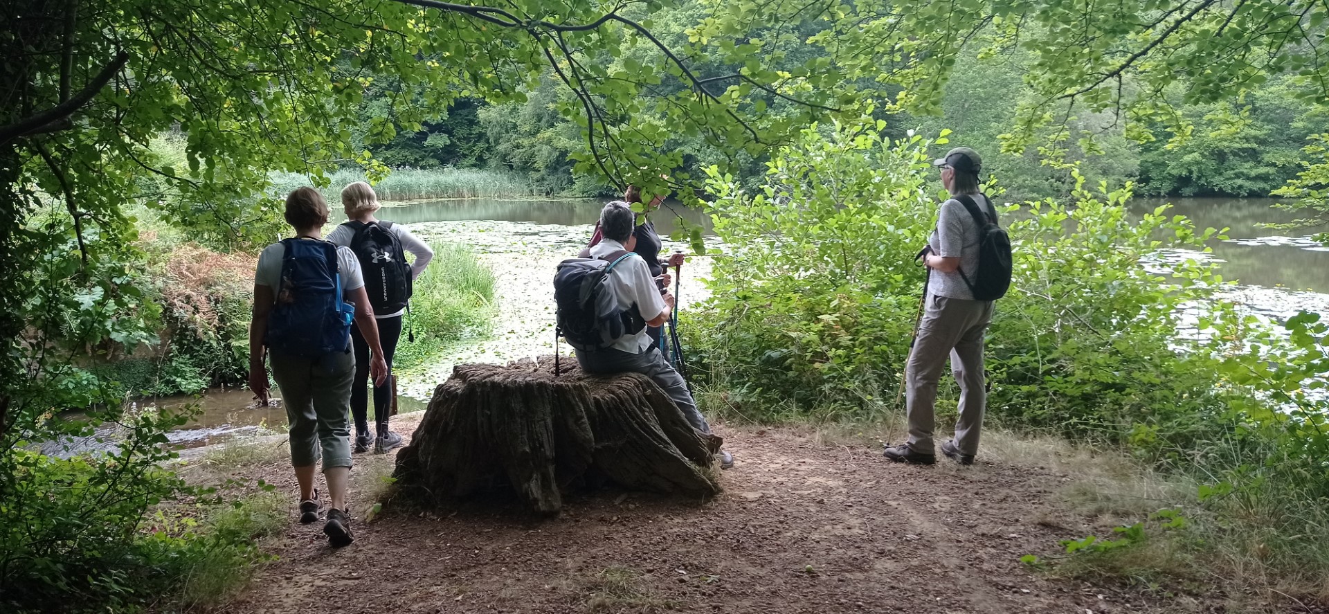
Hammer Pond, a reminder of the iron industry that once pervaded all of the South East.
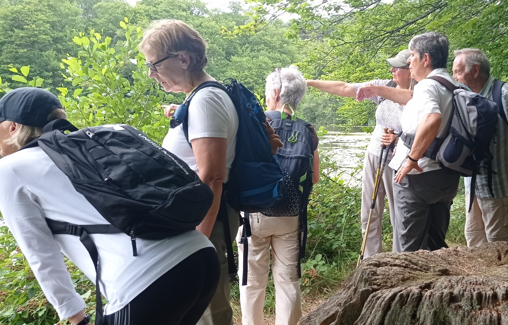
So what it that over there?
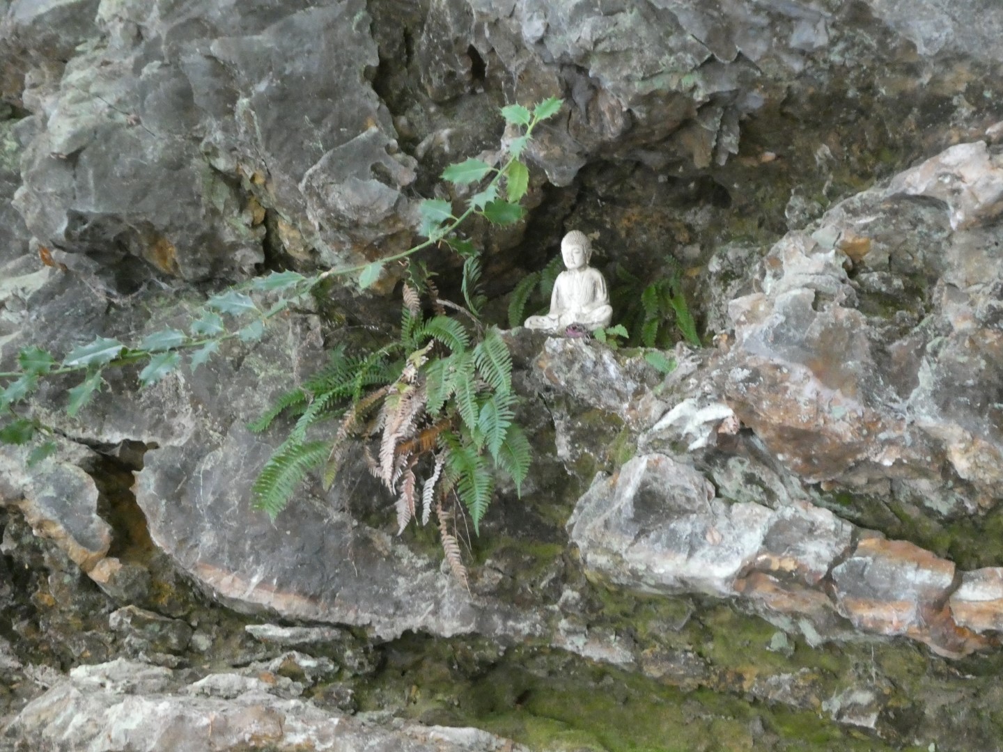
Buddha keeping an eye on us
.
Hammer Wood
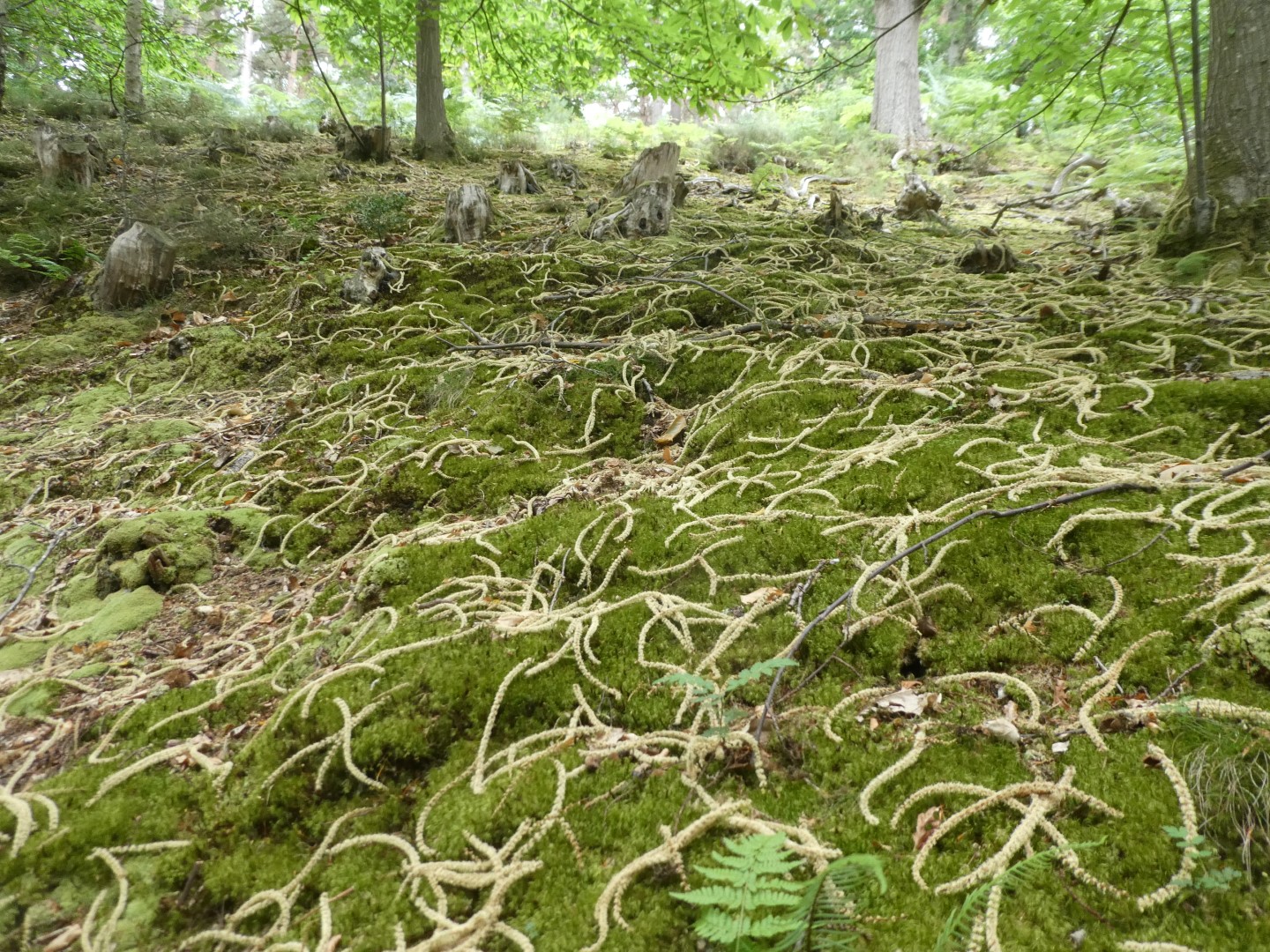
Definitely not catkins
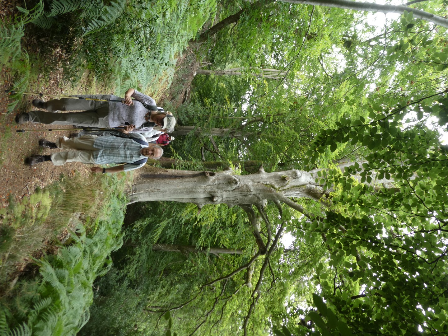
Approaching Robin's Farm
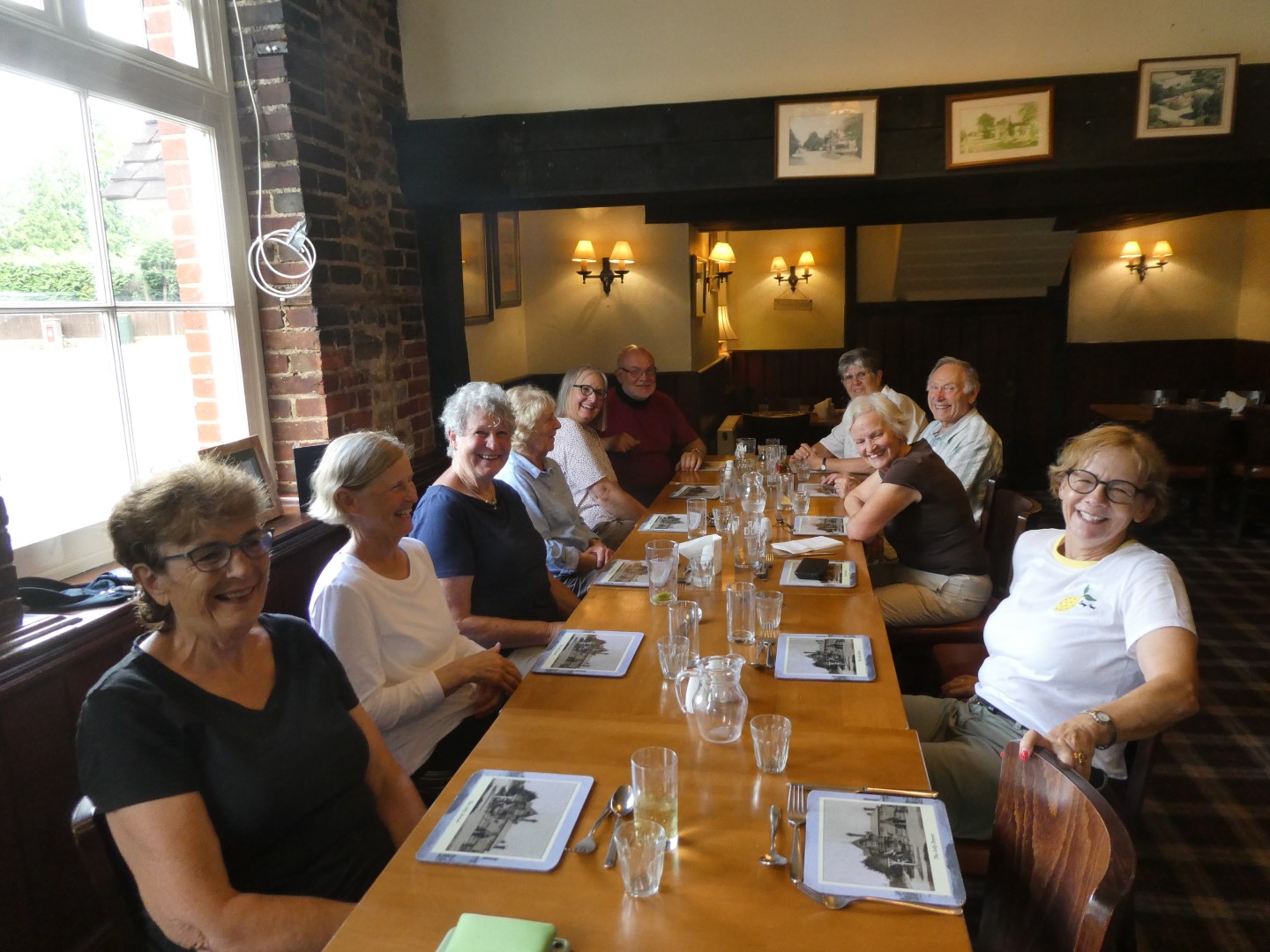
Happy diners at the Jolly Drover
.png)
About 5 miles
Recent galleries
- Pagham walk on 15th July 2026
- Earnley on 8th July 2026
- Kingley Vale on 1st July 2026
- Elsted walk on 17th June 2026
- Heyshott Walk on 10th June 2026
History
2026
2025
- December (3)
- November (4)
- October (5)
- September (4)
- August (4)
- July (5)
- June (4)
- May (5)
- April (4)
- March (5)
- February (3)
- January (4)
2024
- December (3)
- November (5)
- October (4)
- September (4)
- August (4)
- July (4)
- June (5)
- May (5)
- April (5)
- March (5)
- February (5)
- January (4)
2023
- December (3)
- November (6)
- October (5)
- September (5)
- August (3)
- July (4)
- June (6)
- May (5)
- April (4)
- March (5)
- February (4)
- January (4)
2022
- December (4)
- November (5)
- October (5)
- September (3)
- August (4)
- July (6)
- June (11)
- May (4)
- April (5)
- March (4)
- February (5)
- January (4)
2021
2020
- December (4)
- November (1)
- October (5)
- September (4)
- August (3)
- July (3)
- March (2)
- February (5)
- January (3)
2019
- December (2)
- November (5)
- October (4)
- September (3)
- August (4)
- July (4)
- June (11)
- May (5)
- April (4)
- March (3)
- February (5)
- January (5)
2018
- December (2)
- November (4)
- October (4)
- September (5)
- August (4)
- July (3)
- June (5)
- May (8)
- April (4)
- March (4)
- February (5)
- January (3)
2017
- December (3)
- November (5)
- October (3)
- September (4)
- August (4)
- July (4)
- June (11)
- May (4)
- April (4)
- March (3)
- February (4)
- January (5)
2016
- December (3)
- November (4)
- October (5)
- September (4)
- August (3)
- July (6)
- June (11)
- May (4)
- April (5)
- March (3)
- February (10)
- January (2)
2015
2014
- June (2)
1997
- February (1)