Bubble walks 28th October 2020
Denis led the walk from the Grange car park and we did a circular tour of West Lavington and it included finding out where the air raid shelters where in WW2. Very enjoyable but unfortunately the rain had not seen the forecast and seemed to carry on for much of the morning. We walked the path below St Ann's Hill fully prepared to do our final walk up the Causeway and back through the town, but at that point the heavens opened and after sheltering we decided to climb and explore St Ann's Hill instead. A coffee stop in the square was very welcome before finally walking along West Street and back to the car park. A damp but very enjoyable walk. Walk was around 3 miles.
.jpg)
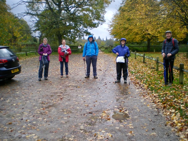
Not a promising start!
.jpeg)
Bridge at the bottom of The Wharf. The Wharf once was an unloading point for coal, brought up from the River Arun.
.jpg)
West Lavington Churchyard contains the grave of Richard Cobden, politician and leading figure of the Anti-Corn Law League who was born nearby at Heyshott in 1804, attended school in Midhurst, and spent much of his later life at his family home in Heyshott, Dunford farmhouse.
.jpg)
Denis checking his route.
.jpg)
Ah ha - it's not raining!
.jpg)
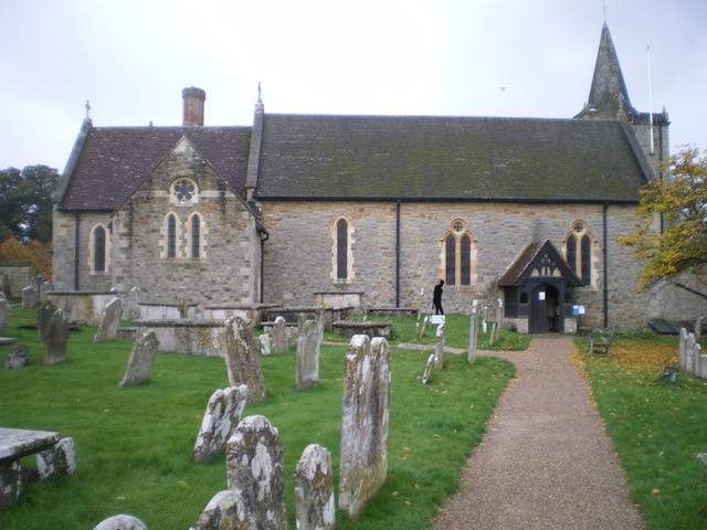
West Lavington church. As a result of falling congregations and the church's poor condition, St Mary Magdalene church was closed in September 2008 and the congregation transferred to neighbouring Cocking.
.jpg)
Heavy rain failed to dampen spirits.
.jpg)
Climbing up St Ann's Hill
.jpg)
The house on St Ann's Hill. What is highly likely is that Midhurst Castle on St Ann's Hill was built to safeguard the Normans' stronghold in Sussex immediately after the Norman Conquest of 1066.
The monument includes the earthworks and ruined walls of a castle dating from the 12th century. The central area of the castle is the artificial mound, or motte, an existing natural prominence which was heightened using rubble. On the motte was built a roughly oval enclosing wall up to 1.7m thick which defined an area 65m north-south by 50m east-west. Backing on to the wall were a number of chambers used for living quarters, kitchens and storage, as well as a small chapel dedicated to St Denis. Quite right too!!!
_____________________________________________________________________________________________________________________________________
_____________________________________________________________________________________________________________________________________
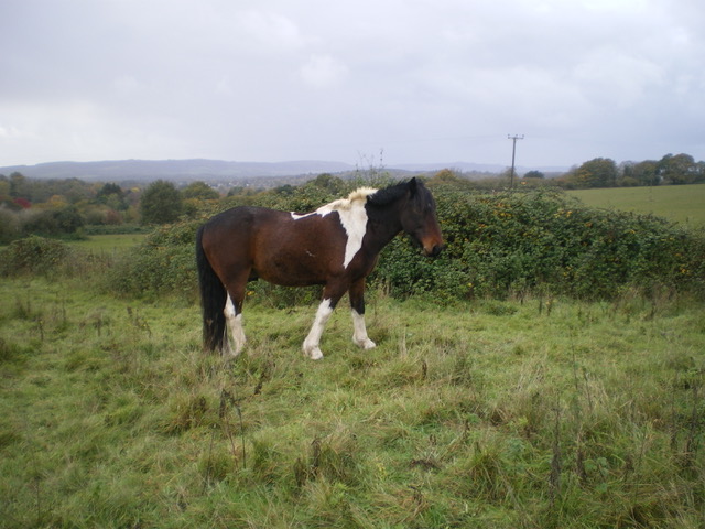
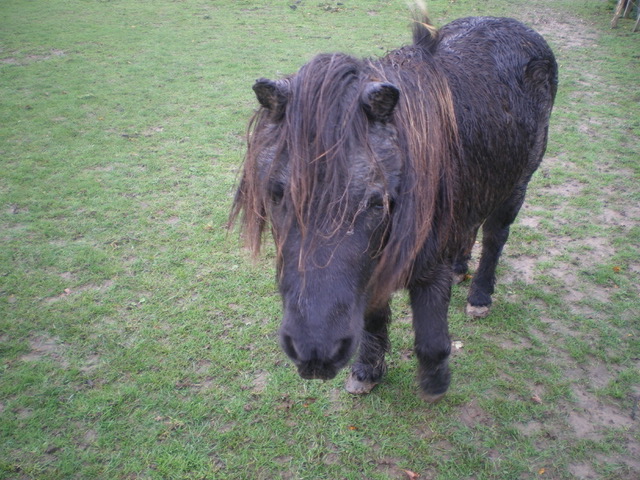
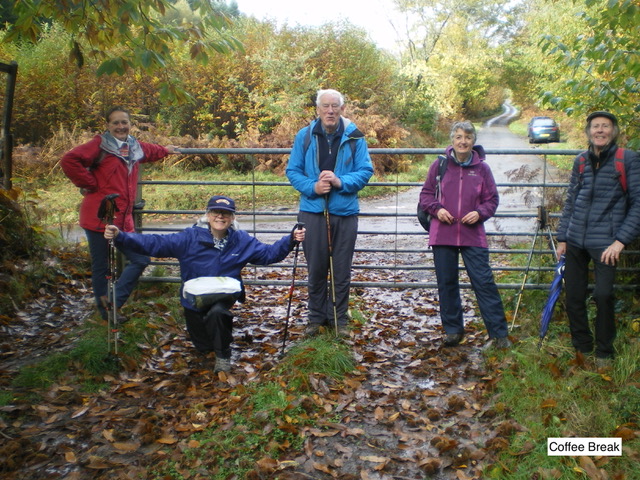
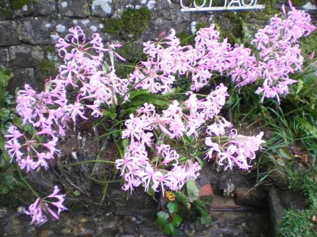
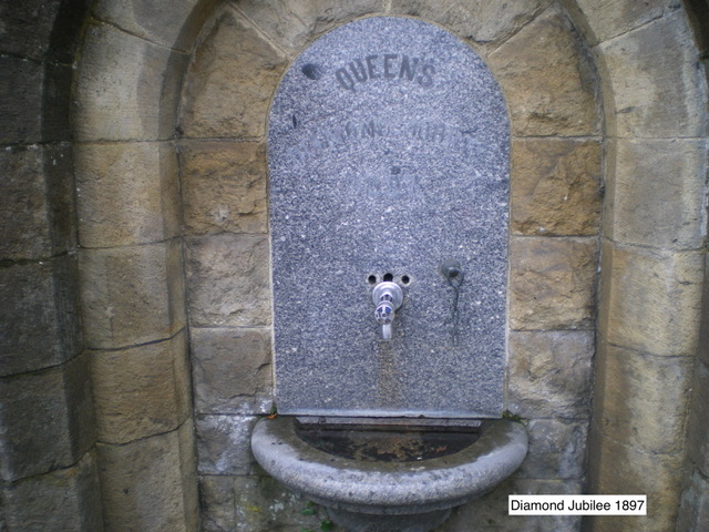
Peter led us on a wet and windy walk, (complete with thunder) from Cowdray car park at Easebourne to Glaziers Lane, then across open farm land passing some very friendly ponies, then to Easebourne Street and on to our coffee stop on Fenced Common. Then through Vining Rough back to Easebourne Street where we passed several comical pumpkins, a colourful clump of Nerines and a Victorian commemorative drinking font, finishing at Easebourne church.
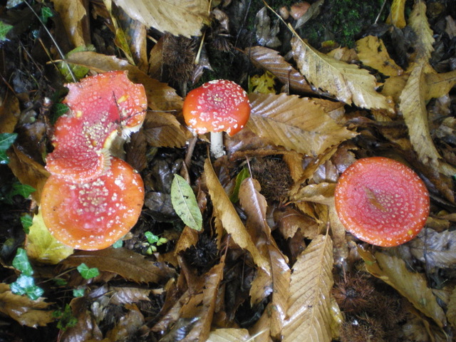
Don't eat these!

Recent galleries
- Kingley Vale on 1st July 2026
- Elsted walk on 17th June 2026
- Heyshott Walk on 10th June 2026
- Eartham Walk on 3rd June 2026
- Up Marden walk on 27th May 2026
History
2026
2025
- December (3)
- November (4)
- October (5)
- September (4)
- August (4)
- July (5)
- June (4)
- May (5)
- April (4)
- March (5)
- February (3)
- January (4)
2024
- December (3)
- November (5)
- October (4)
- September (4)
- August (4)
- July (4)
- June (5)
- May (5)
- April (5)
- March (5)
- February (5)
- January (4)
2023
- December (3)
- November (6)
- October (5)
- September (5)
- August (3)
- July (4)
- June (6)
- May (5)
- April (4)
- March (5)
- February (4)
- January (4)
2022
- December (4)
- November (5)
- October (5)
- September (3)
- August (4)
- July (6)
- June (11)
- May (4)
- April (5)
- March (4)
- February (5)
- January (4)
2021
2020
- December (4)
- November (1)
- October (5)
- September (4)
- August (3)
- July (3)
- March (2)
- February (5)
- January (3)
2019
- December (2)
- November (5)
- October (4)
- September (3)
- August (4)
- July (4)
- June (11)
- May (5)
- April (4)
- March (3)
- February (5)
- January (5)
2018
- December (2)
- November (4)
- October (4)
- September (5)
- August (4)
- July (3)
- June (5)
- May (8)
- April (4)
- March (4)
- February (5)
- January (3)
2017
- December (3)
- November (5)
- October (3)
- September (4)
- August (4)
- July (4)
- June (11)
- May (4)
- April (4)
- March (3)
- February (4)
- January (5)
2016
- December (3)
- November (4)
- October (5)
- September (4)
- August (3)
- July (6)
- June (11)
- May (4)
- April (5)
- March (3)
- February (10)
- January (2)
2015
2014
- June (2)
1997
- February (1)