Gallery (Click on titles!)
-
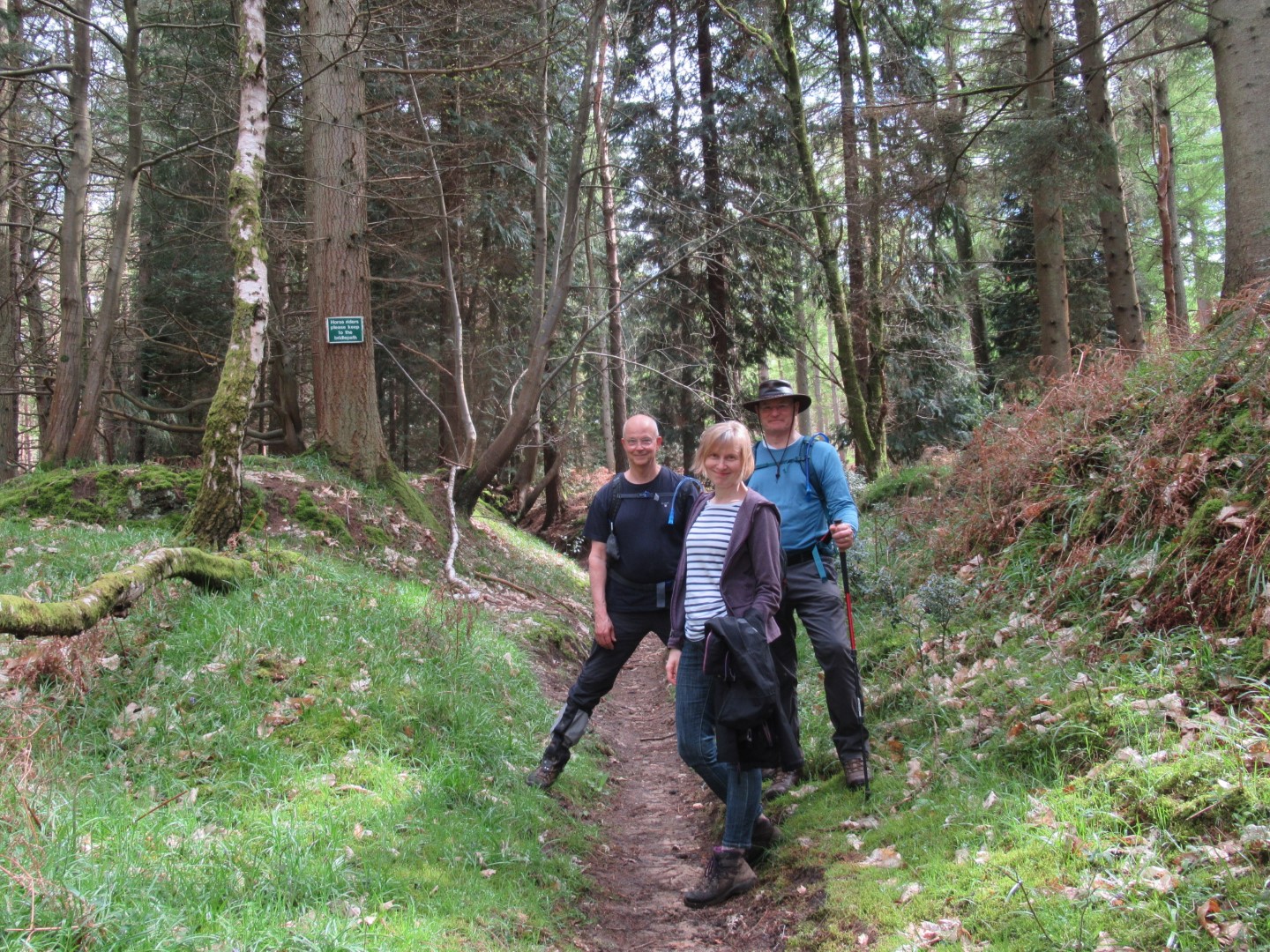
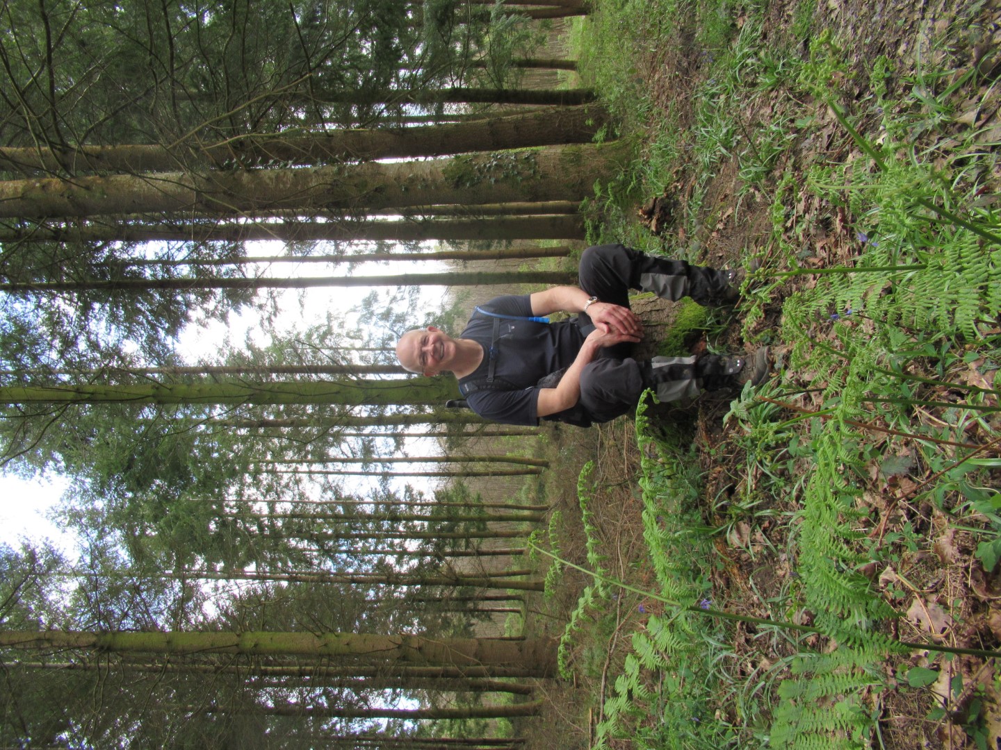
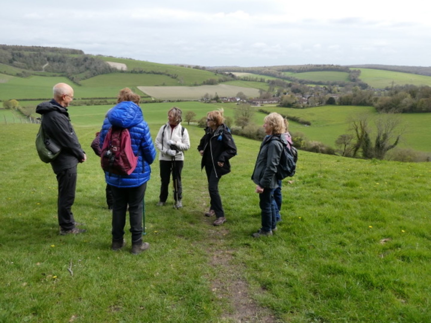
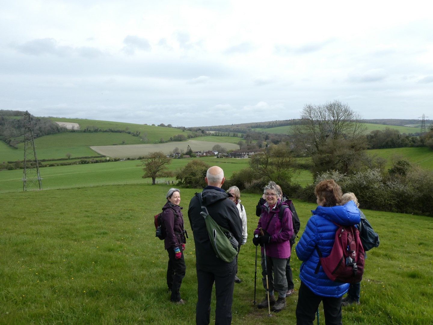
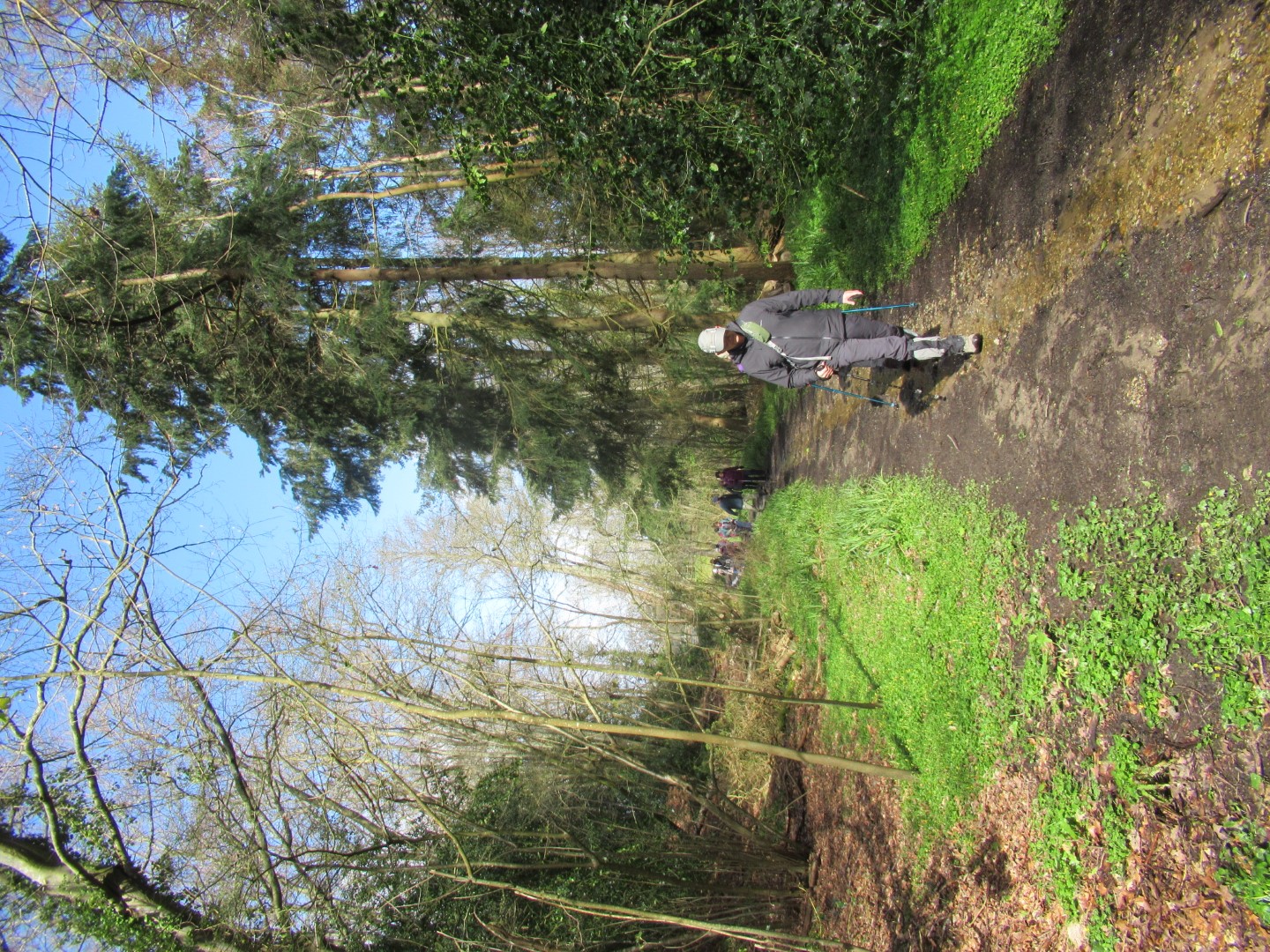
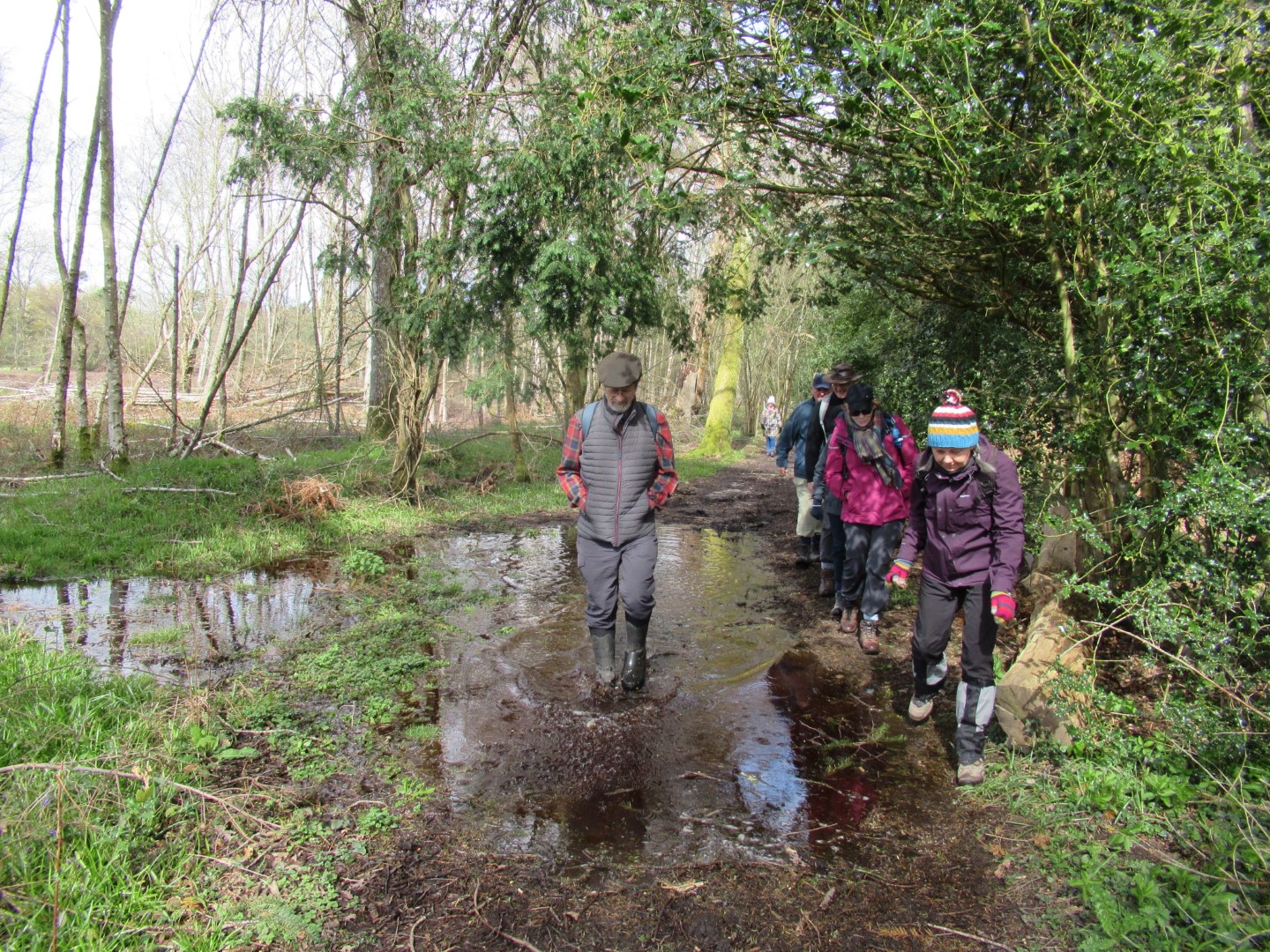
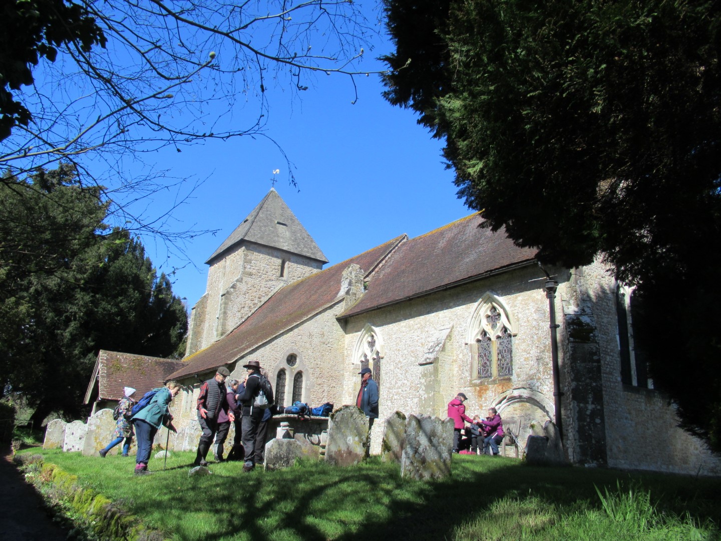
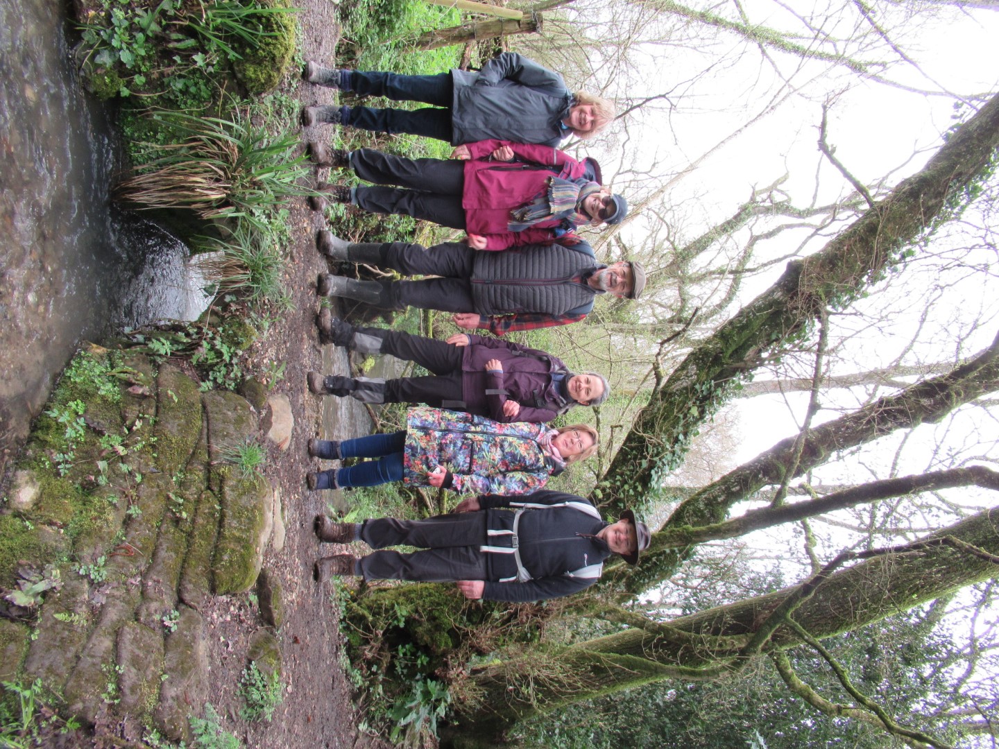
Kirdford walk on 3rd May 2023
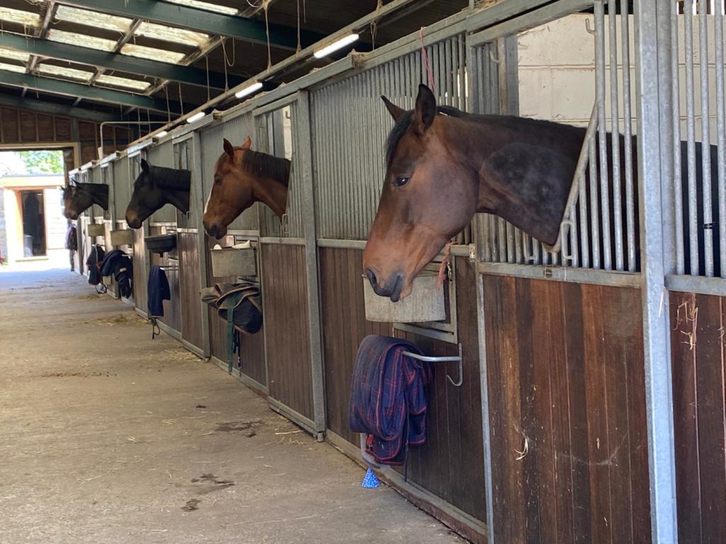
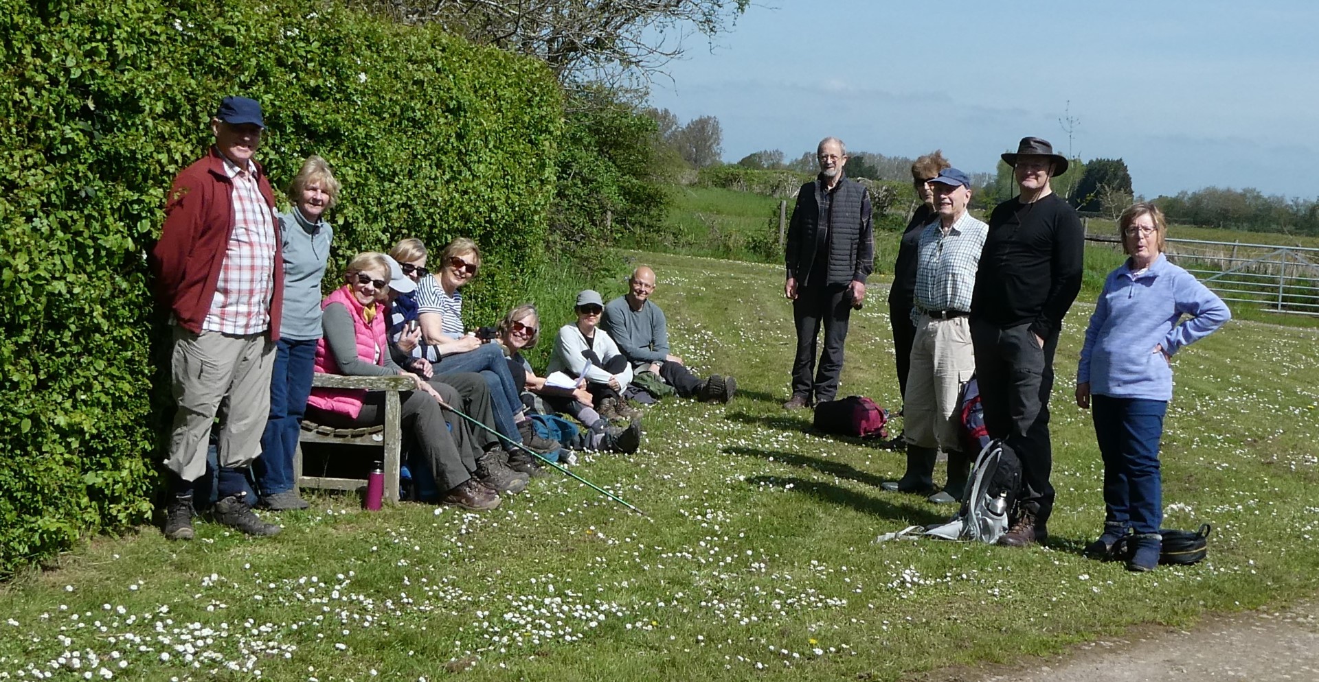
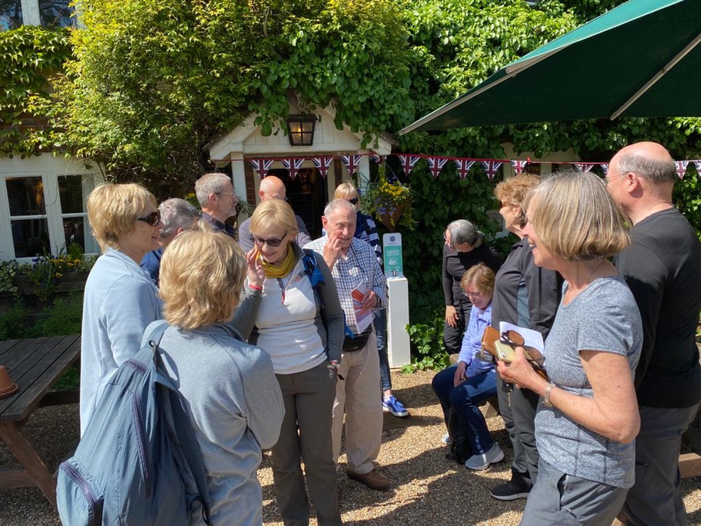
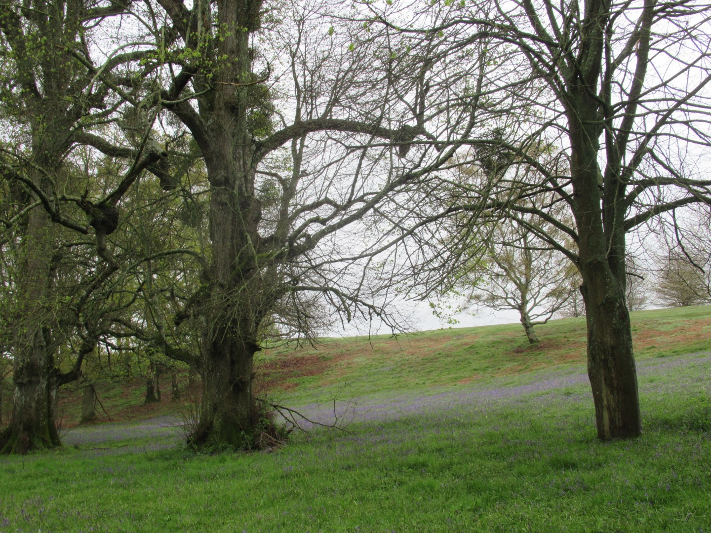
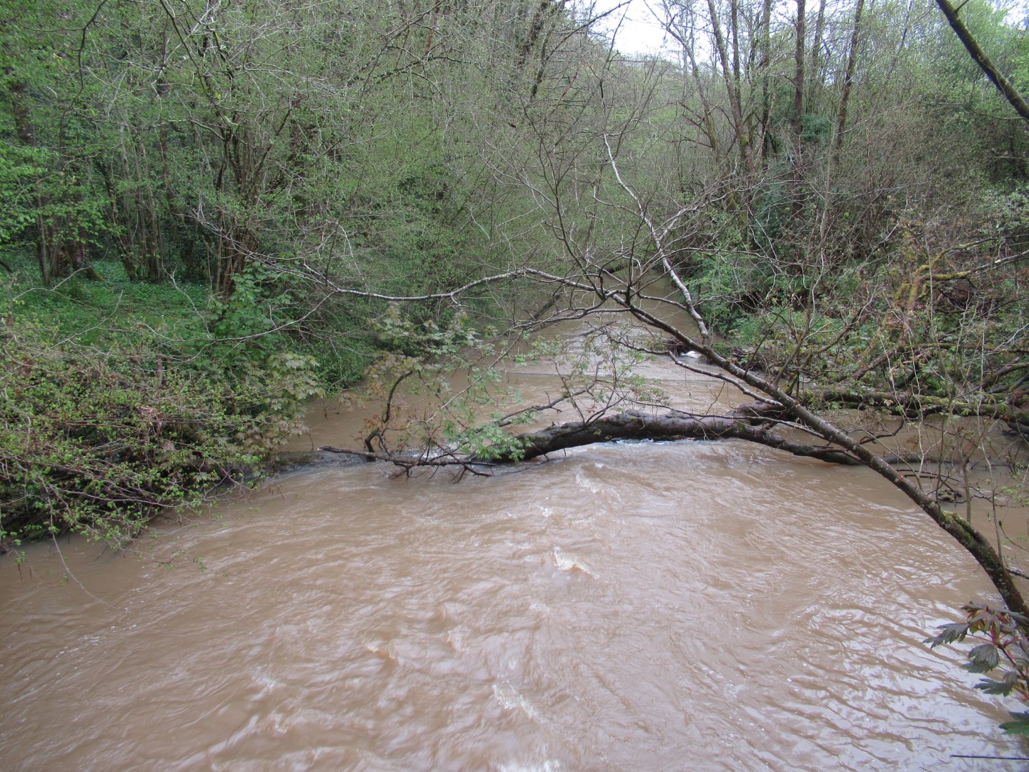
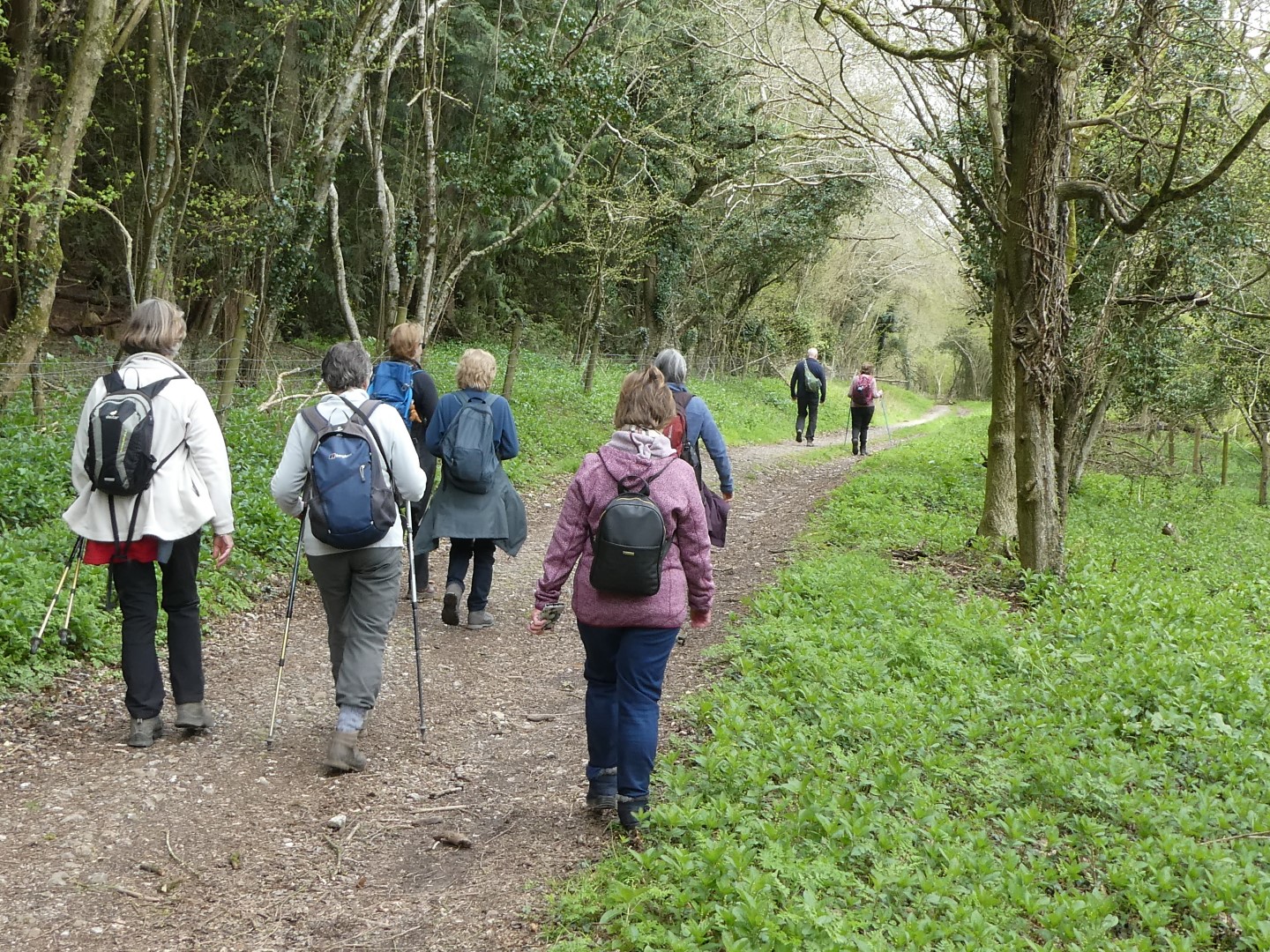
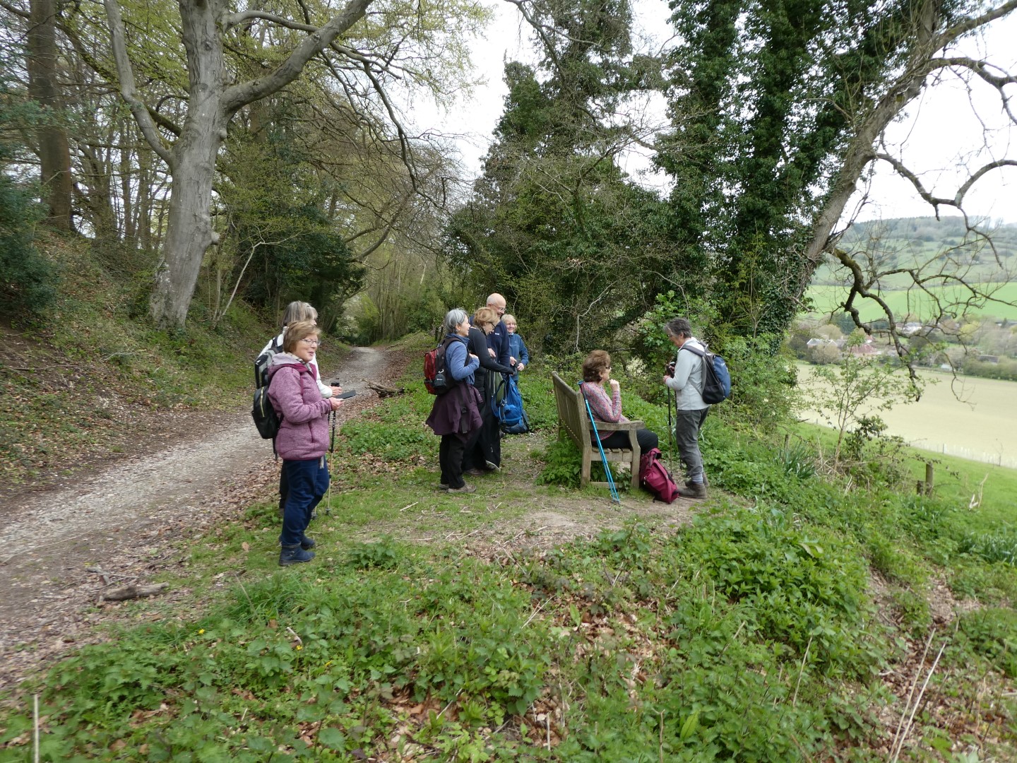
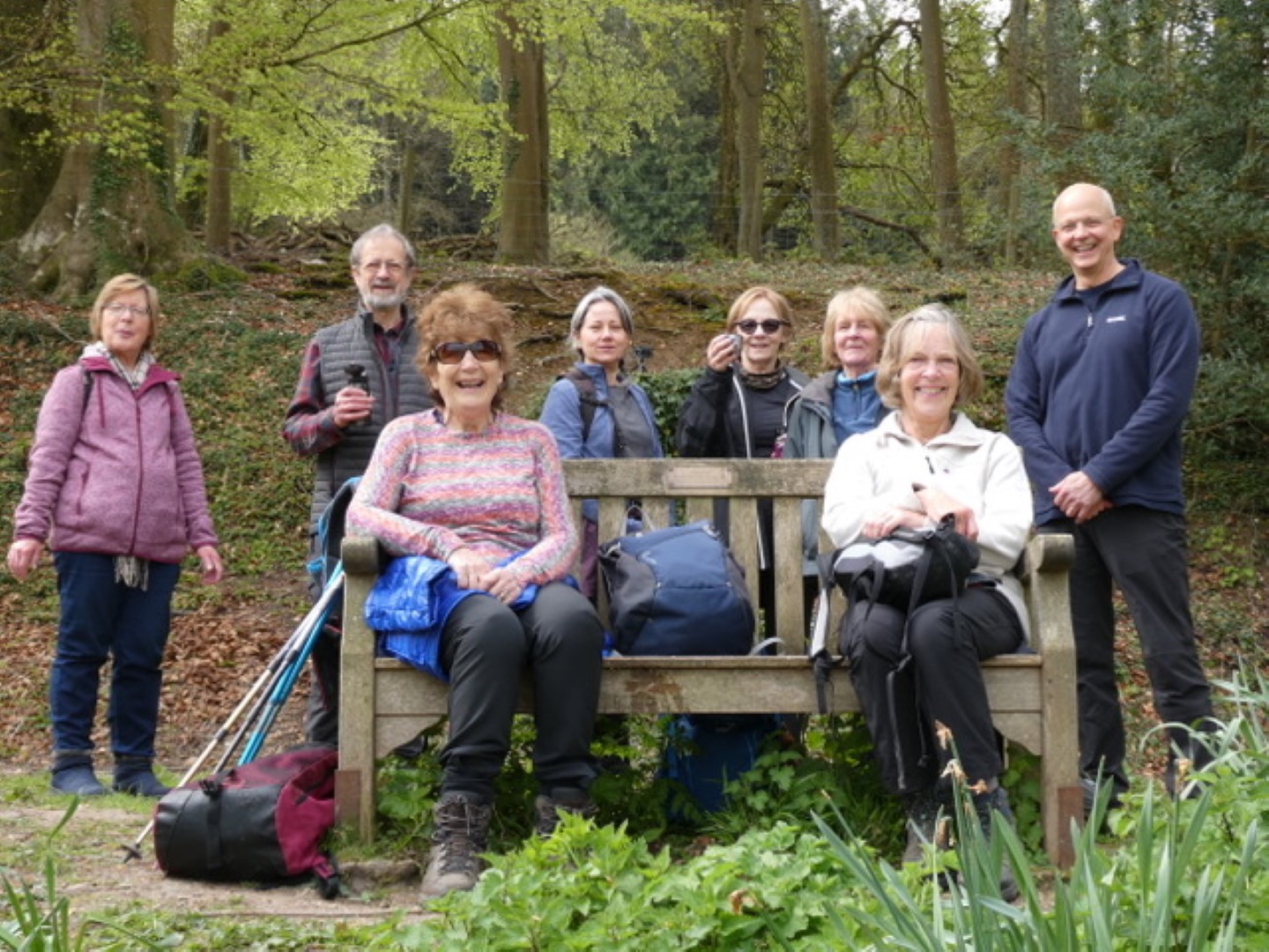
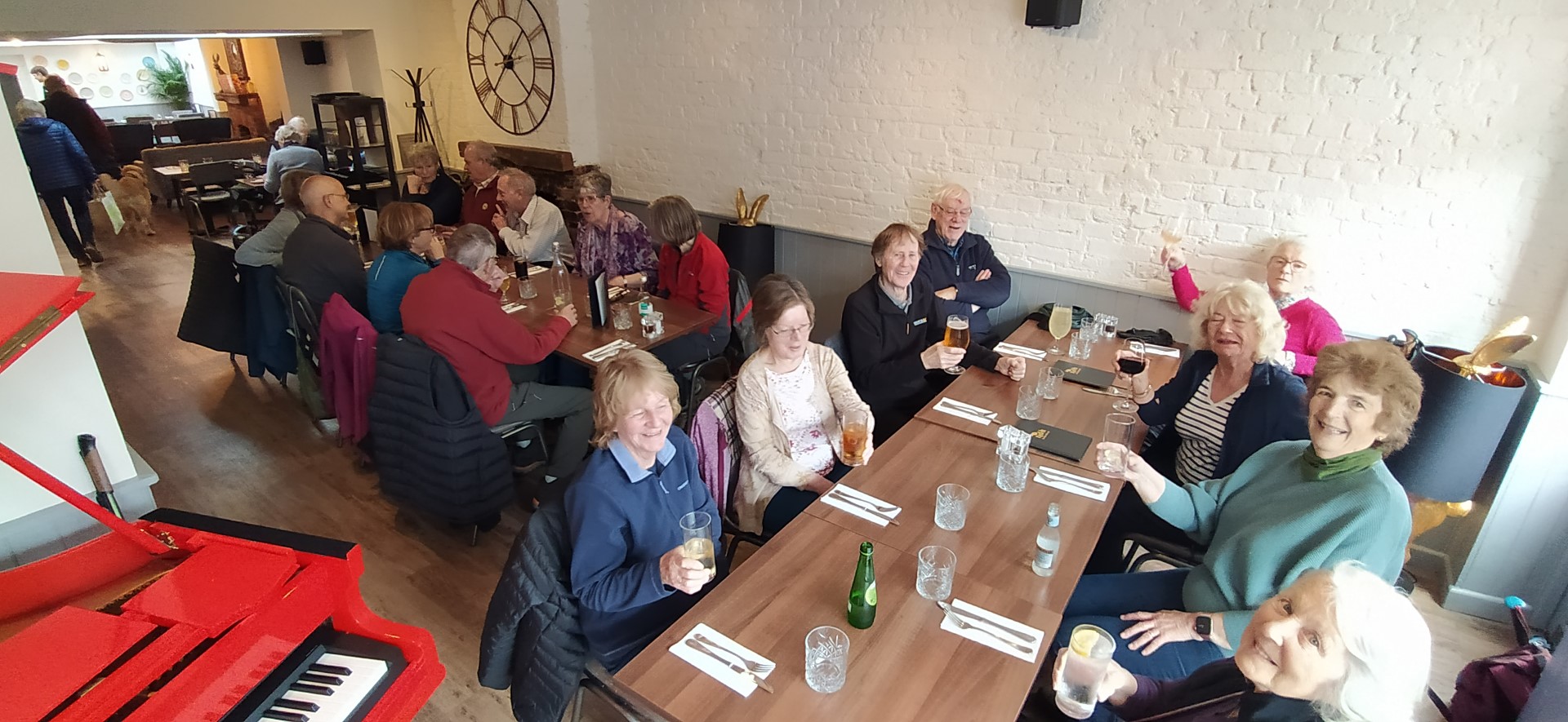
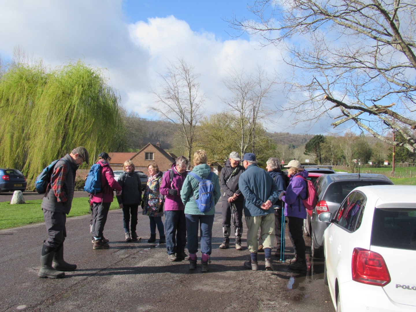
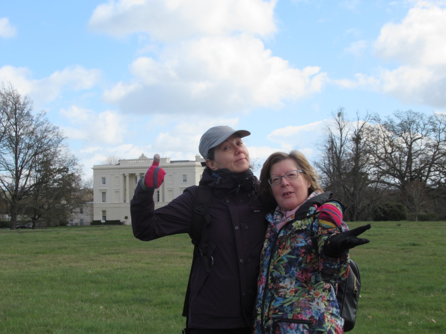
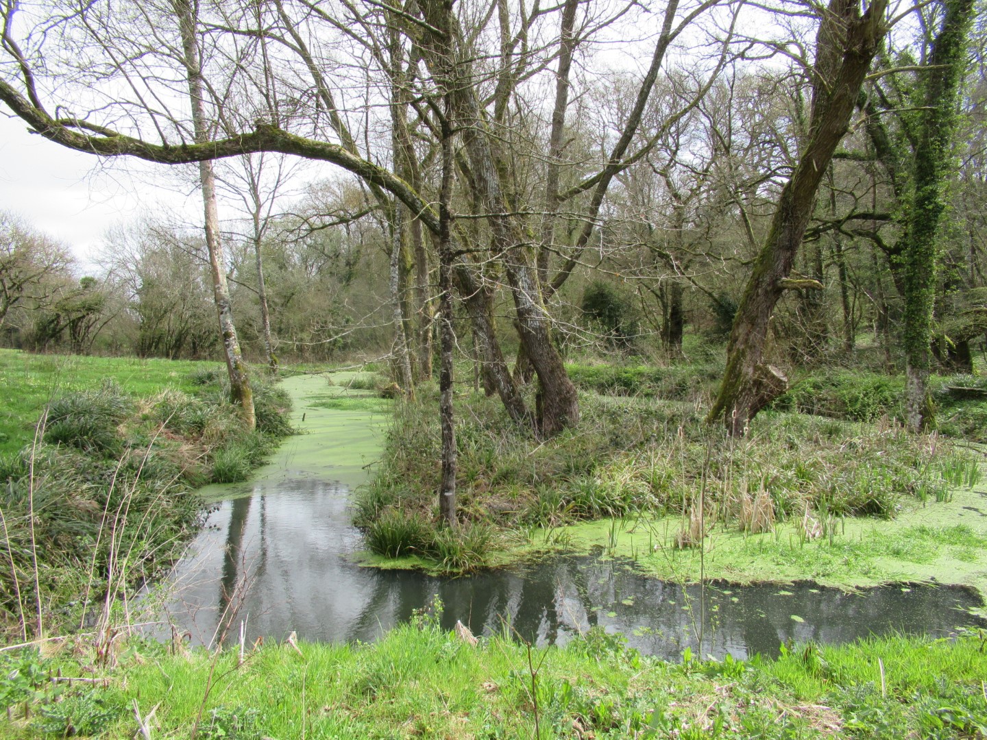
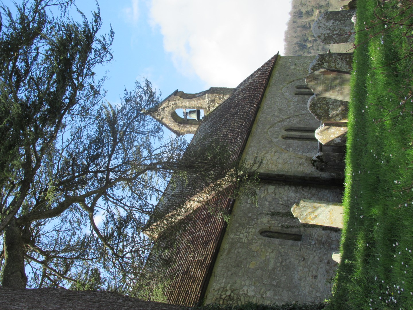
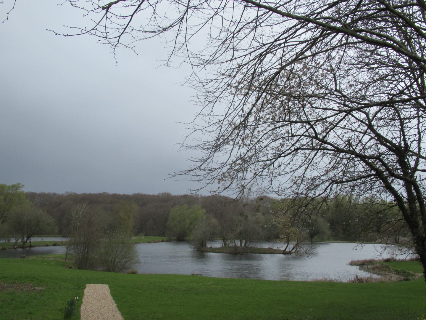
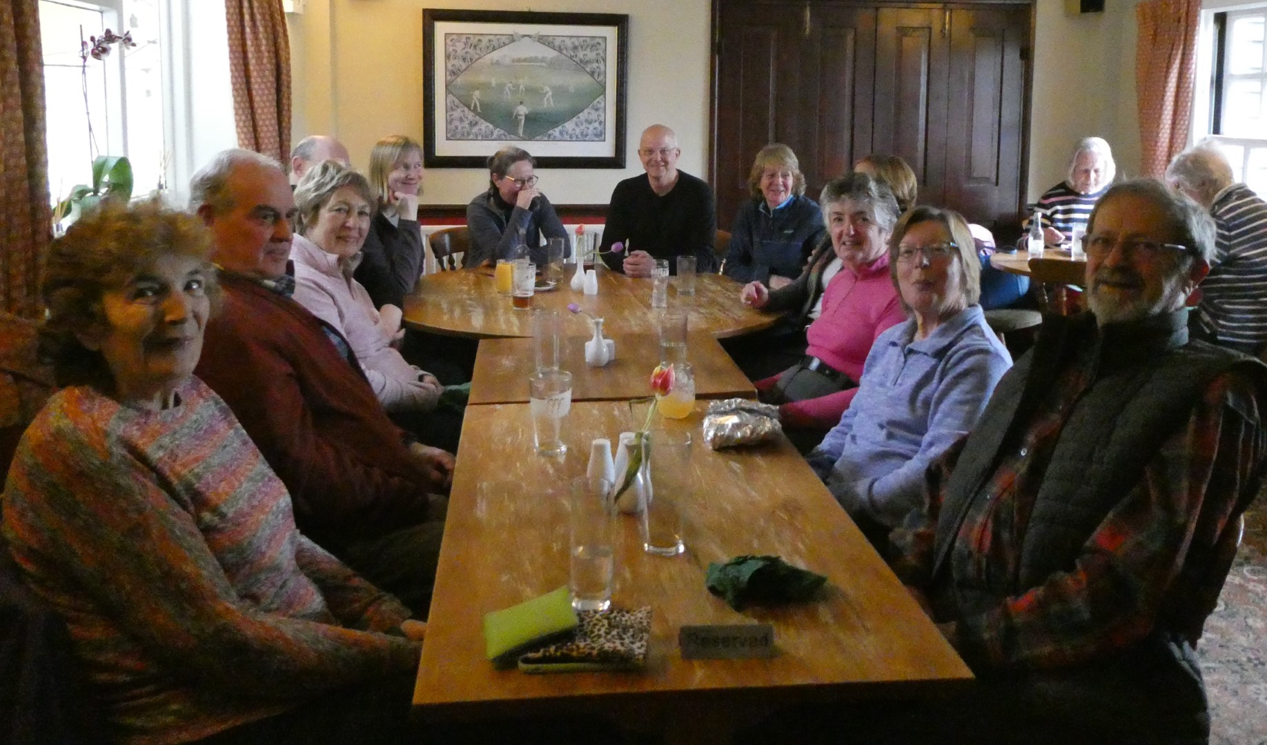
We had a beautiful sunny day for our walk led by Sally. Starting at the Foresters Arms in Kirdford recently closed for renovations but they let us park there. The start of the walk led us through the oldest part of Kirdford where on the junction is the Church of St John the Baptist built around 1100 AD with its great tower and vast indoor space shows the importance of this village in medieval times. Opposite the Church is the popular Half Moon pub owned by Jodie Kidd but not open on a Wednesday for our walk. The new ‘bareback’ pub sign for the Pub Renaissance campaign was unfortunately not visible from our vantage point as it would have destroyed our concentration for the plaque in the centre of the village showing the village story. Taking a left at the T junction we passed the Old Rectory with “its ode to the virtue of staying sober”. At this point we felt obliged to model some of the benefits of drunkenness for the camera. Leaving the village behind us we turned left at Normandie Stud and through its yard with very smart stable buildings and dogs with short legs, then into the woodland of Boxalland Copse, an ancient site of iron mining. The woods were carpeted with bluebells. Continuing down to muddy Boxall Brook and over the bridge and up into pastureland and then into the dense woodland of Barkfold Rough. The path rises to Chandlers Barn and into the open with fine views of Blackdown where they had conveniently placed a bench ideal for an early cup of coffee. Walking along the edges of fields filled with oil seed rape and the historic Fountains Farm screened by high hedges we start our descent back over the mud of Boxall Brook. A challenge presented itself. A very muddy section running along a farmer’s field with sheep in it, half the walk went for it and at the other half agreed for Tim to negotiate with the farmer to allow us to walk on his land which luckily he did. On the home straight passing Lakelands Farm and over Great Common skirting the mud and back into the village past a new development of houses. To our right was the village stores with more history and information about the flora and fauna. Back to collect our cars and 2 miles to The Stag Inn at Balls Cross for a delicious lunch by Phil and his team.
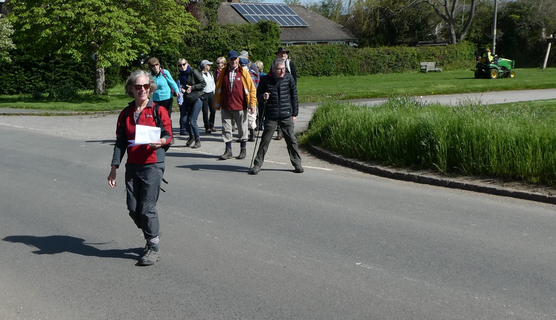
Starting out
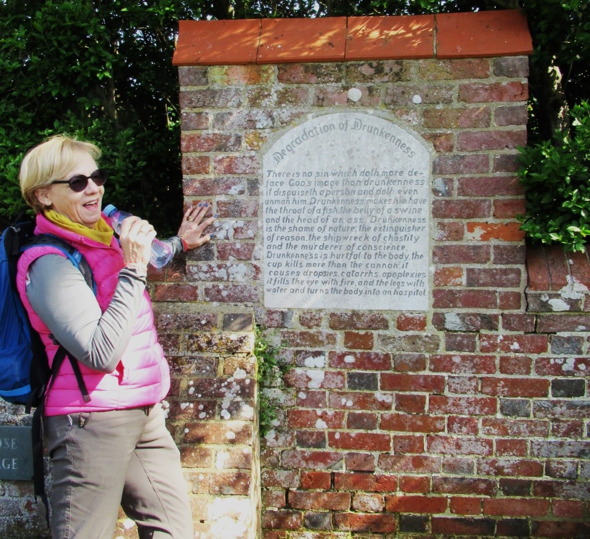
Enjoying the ‘Degradation of Drunkenness’
Which one would you like mounted on your wall?
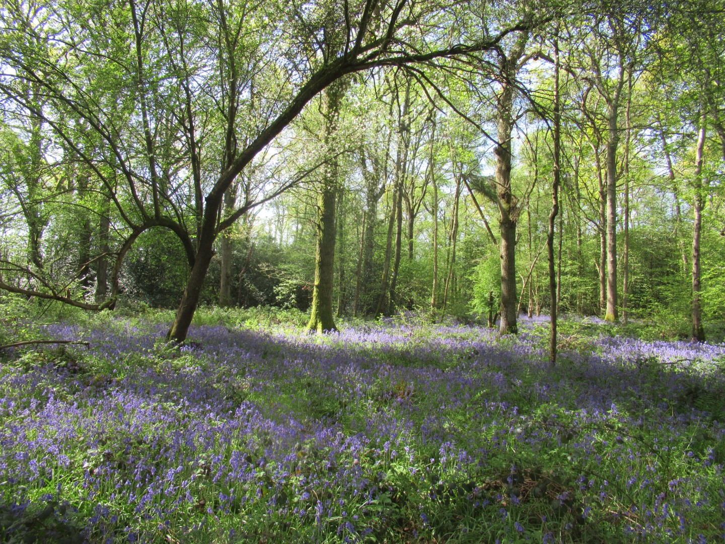
Bluebell carpet
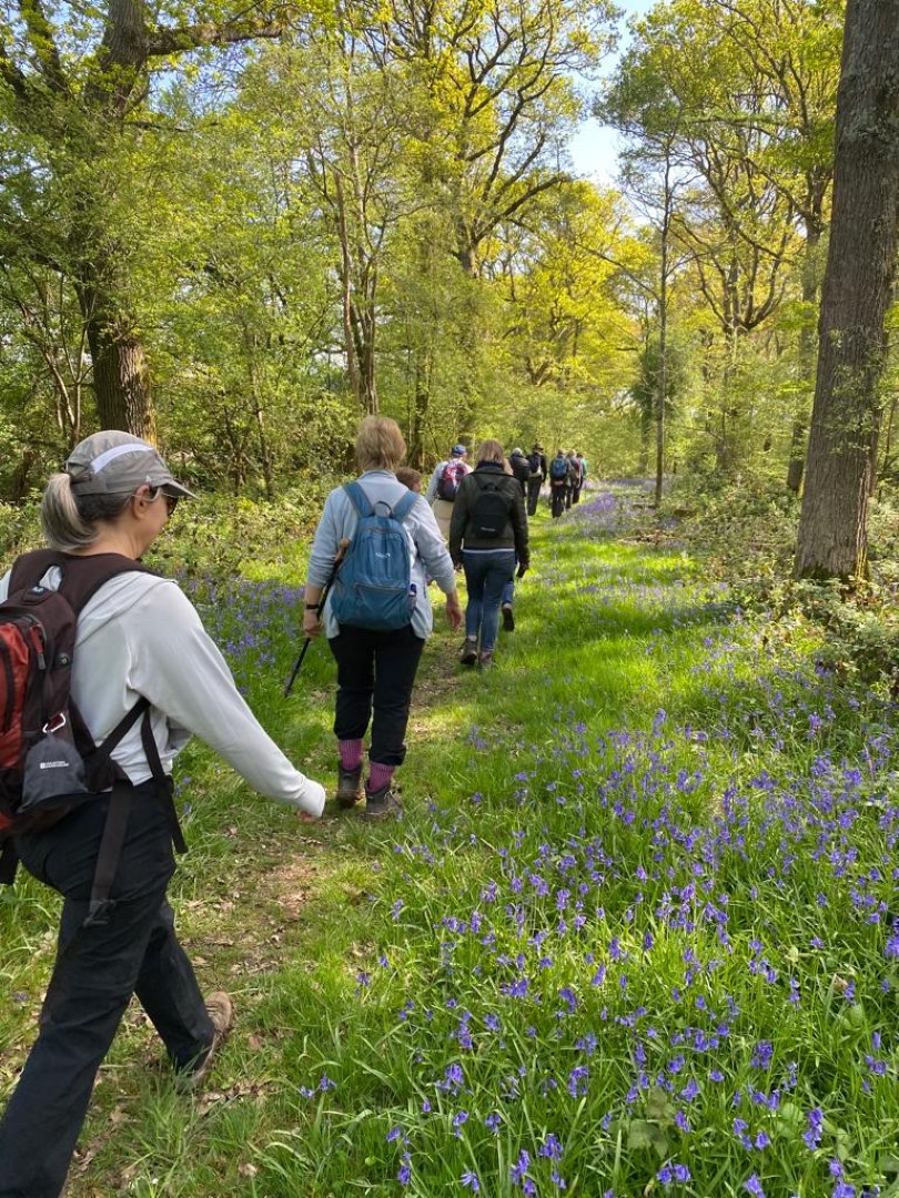
Be very careful not to tread on the bluebells
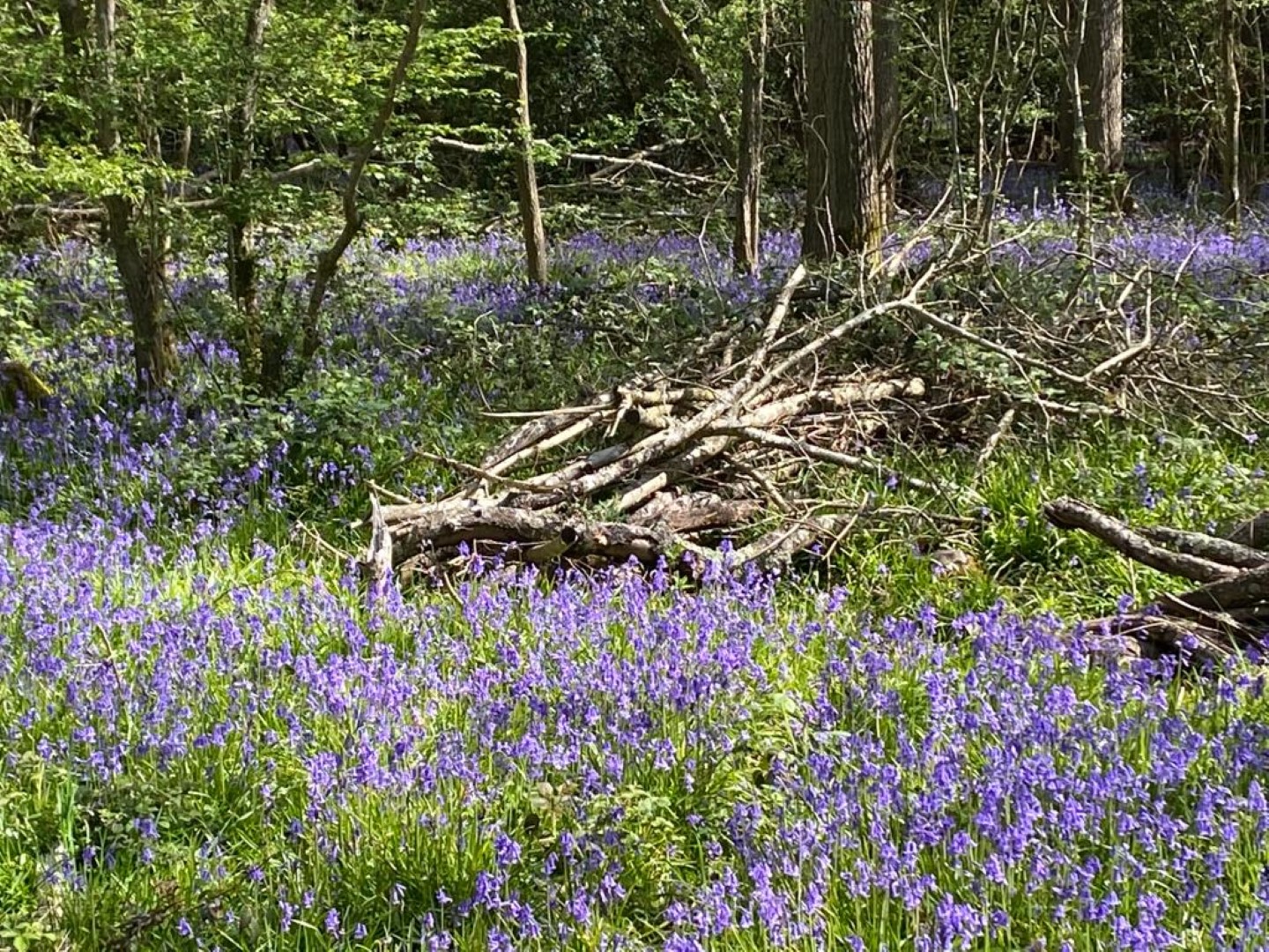
but they were everywhere
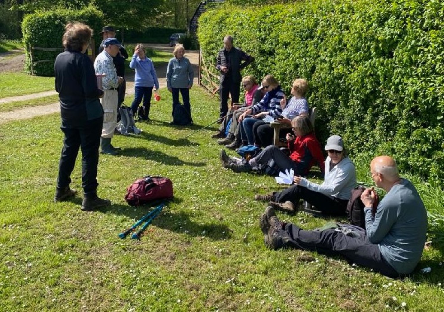
The coffee stop
Come on, smile everyone!
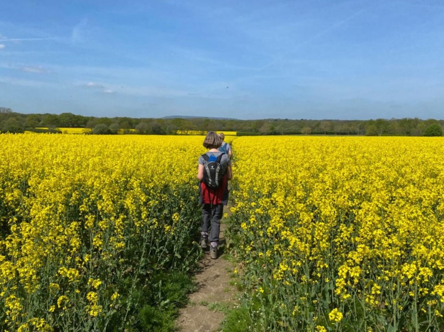
Oil seed rape crop’s coming on nicely
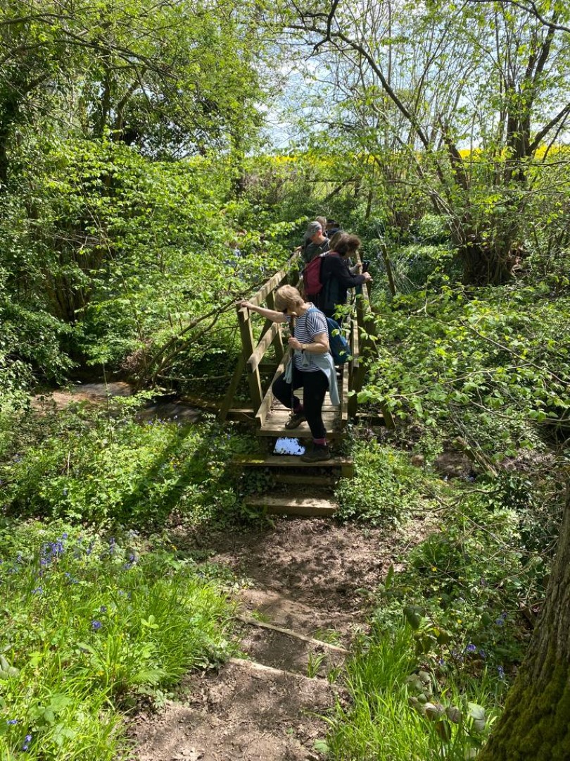
Bridge over untroubled water
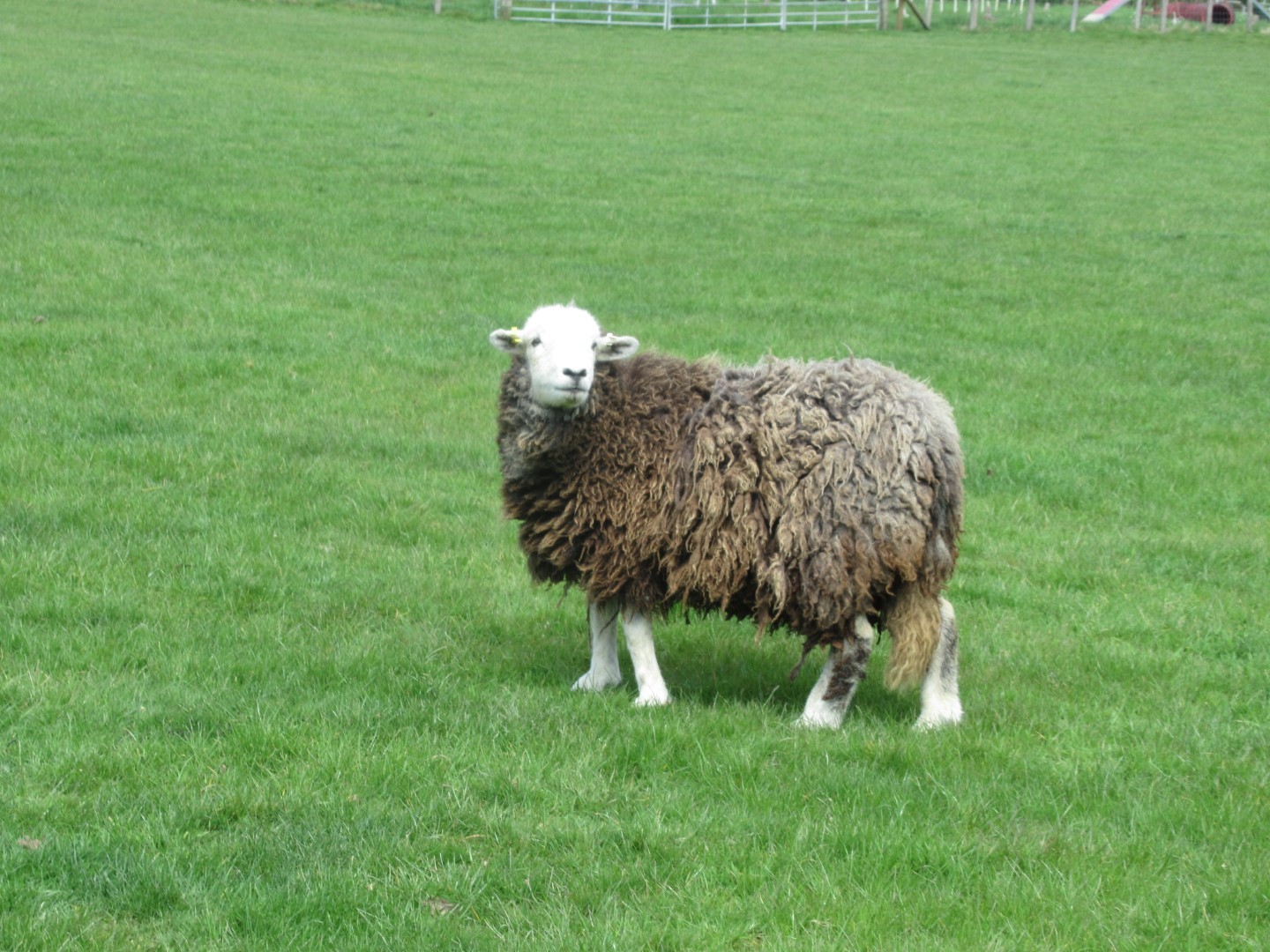
Oy, what are you doing in my field?
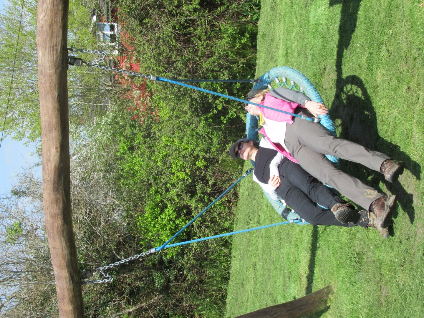
Going flat out at the end of the walk
Stag Inn, Balls Cross
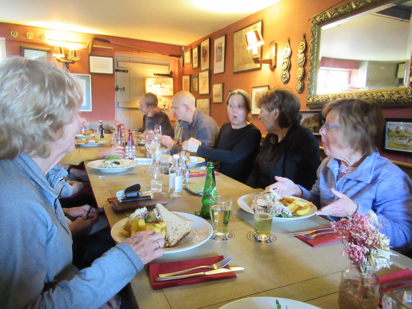
A shockingly good lunch
.png)
A very pleasant 4 miles or so.
Midhurst Long walk 28th April 2023
Long Walk on 28th April. Midhurst, Lodsworth, Tillington, and Selham
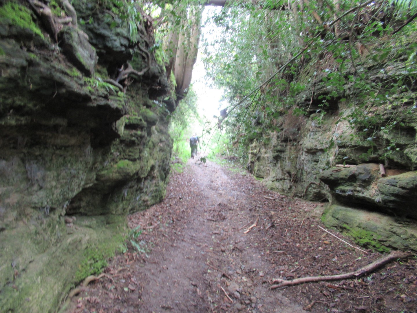
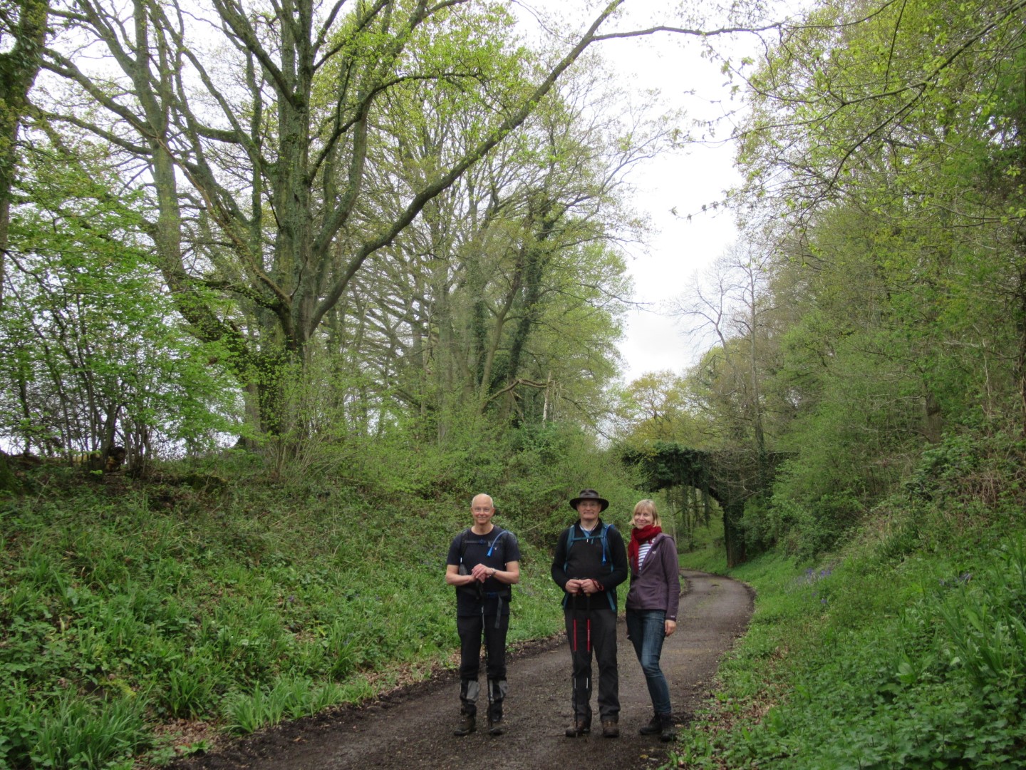
There were only three of us to brave the 15.22 mile long walk. It started at Cowdray Café car park, we crossed the main road, headed up The Race and onto the golf course where a pair of golfers rang a bell for us to cross the fairway. At the 7th Green, we dropped into a bluebell valley, skirted Steward’s Pond, tried to avoid the mud at the edge of Heathend Copse and onto Lodsworth. Too early for the pub, we walked past the refurbished Vicarage and St Peter’s Well, marvelled at the height of the river under Eel Bridge and made our way to River. The Sussex Diamond Way took us to Pitshill and onto the Upperton vineyards where we stopped in the drizzle for our coffee break. The descent to Tillington took us past horses rolling around in a field, through the churchyard lych gate and down to cross to the south of the A272 eventually getting onto Hungers Lane, which was appropriate for how we felt, but the sun started to shine at this point. We loitered on the footbridge over the River Rother, full to the banks. By this time we truly focused on our lunch and were pleased to make it to the disused railway that used to serve Pulborough from Midhurst. At this point we encountered a herd of cows vociferous in their desire for lunch at which point the farmer let them out to the field and they followed us down the road heading for the pub. The cows got diverted for their lunch before we got to the Three Moles at Selham for our well earned refreshments and lunch. After lunch we had a look at St James 11th Century church before we turned south up Smokyhouse Lane past the site of the WWII Royal Navy Air Station, now polo fields and over the disused railway again. We walked the Serpentine Trail past Graffham Court, up and over Ambersham Common where we got back onto the disused railway and onto West Lavington and back to Midhurst following the River Rother.
Bluebells, Mistletoe and spring leaves emerging
River Rother tributary in full flow at Eel Bridge
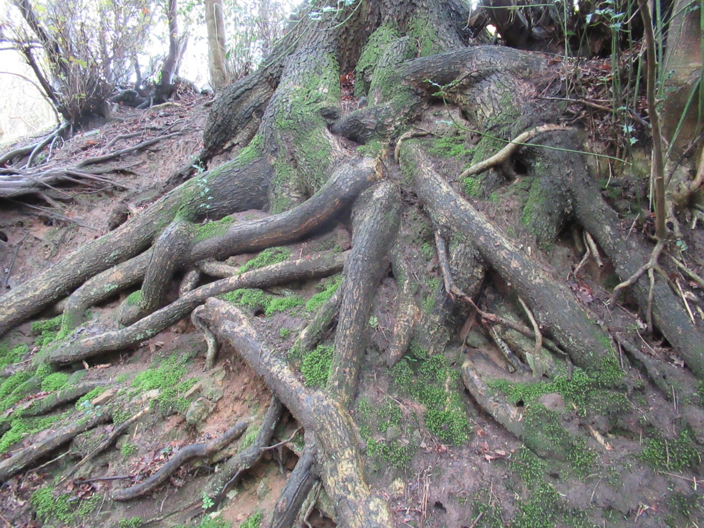
Trees can lead a tangled life
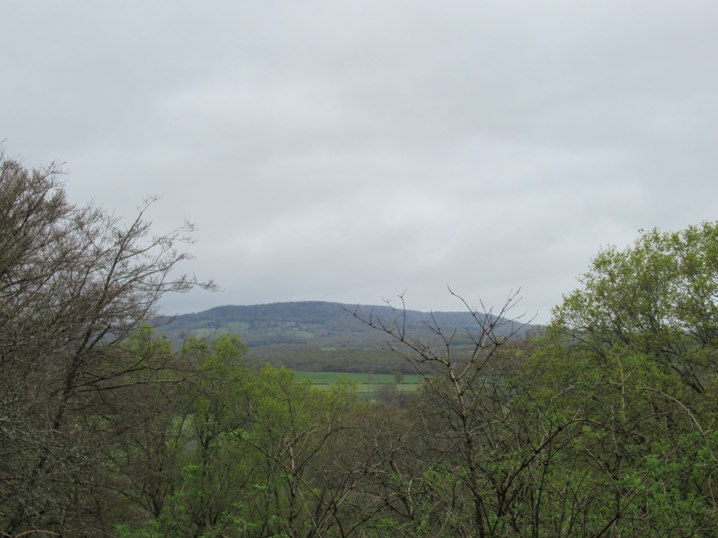
View across to Black Dam
Old tree drowning in a sea of leaves
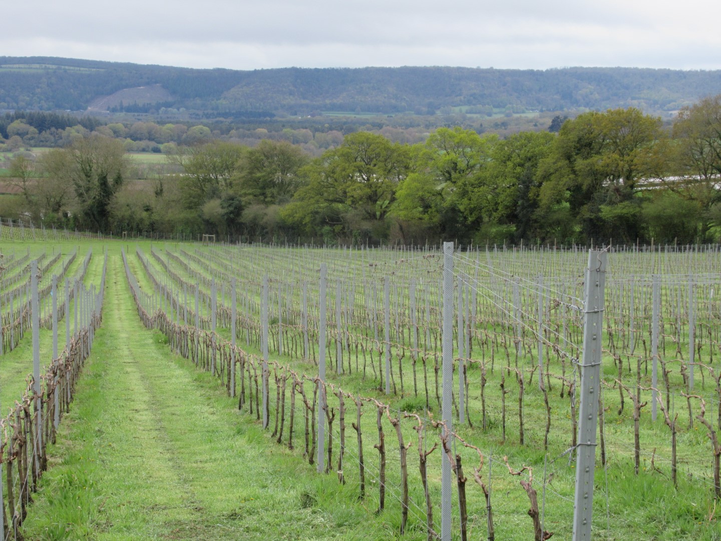
Vineyard view to South Downs for a coffee break
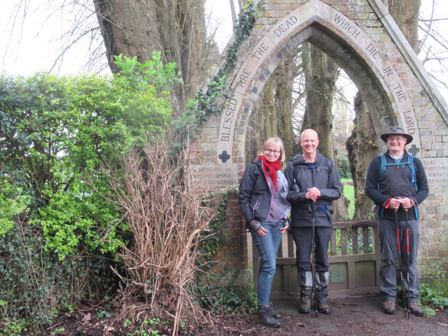
'Blessed are the Dead’, but what about us?
Hungers Lane swallowing walkers
Having a pose
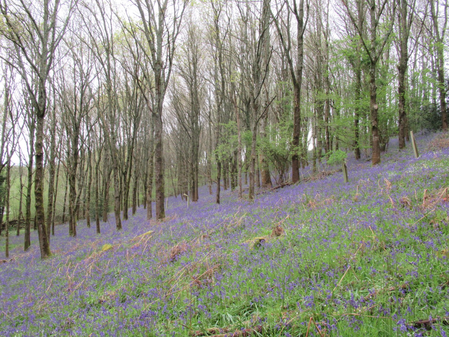
Bluebell carpet
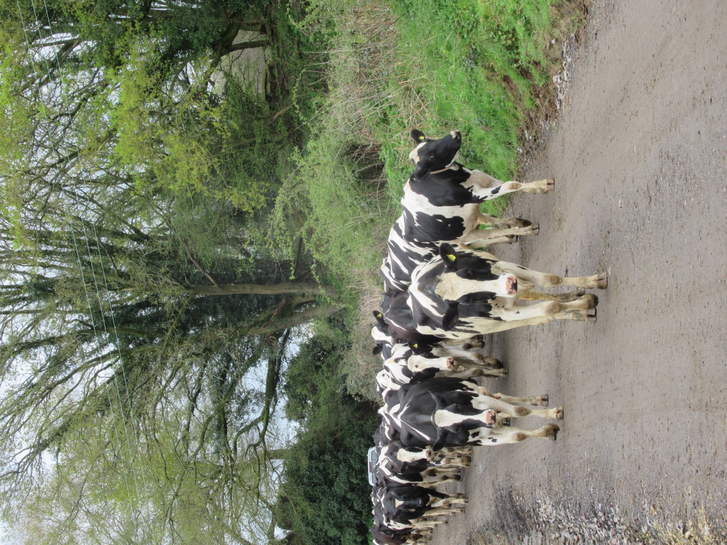
We’re coming to lunch too
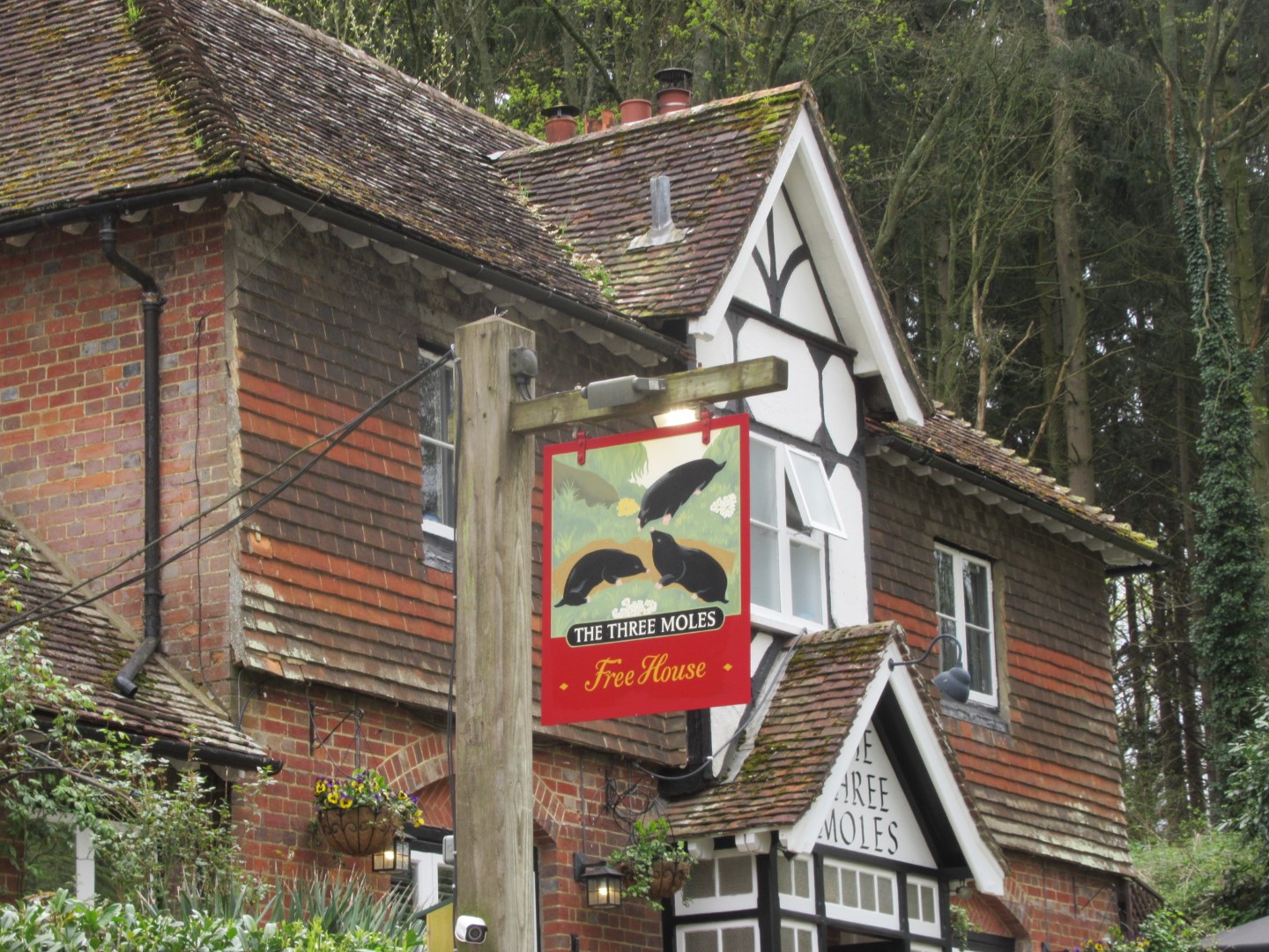
Lunch at the Tree Moles, named after the Mitford family crest
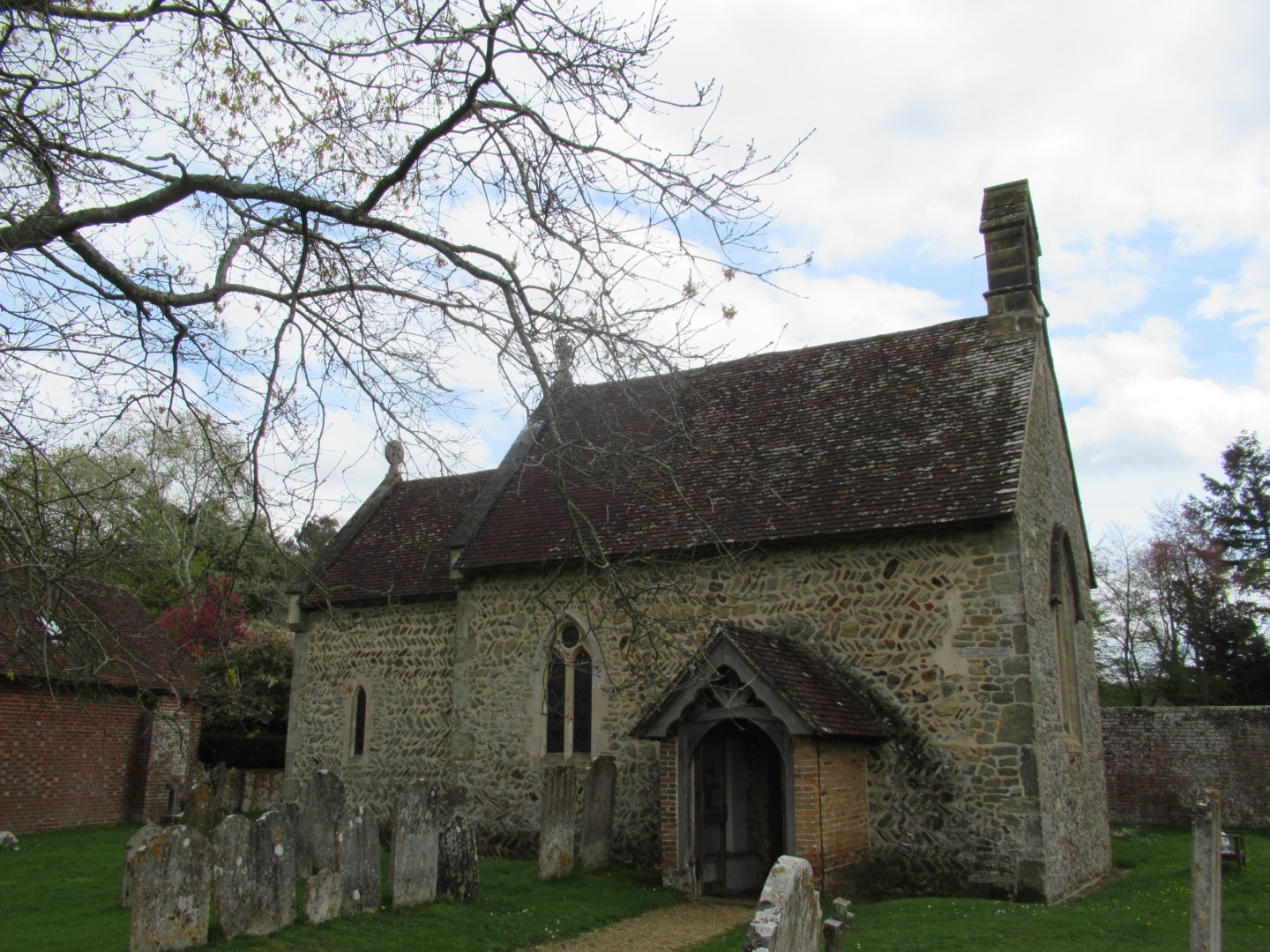
St James Church, Selham
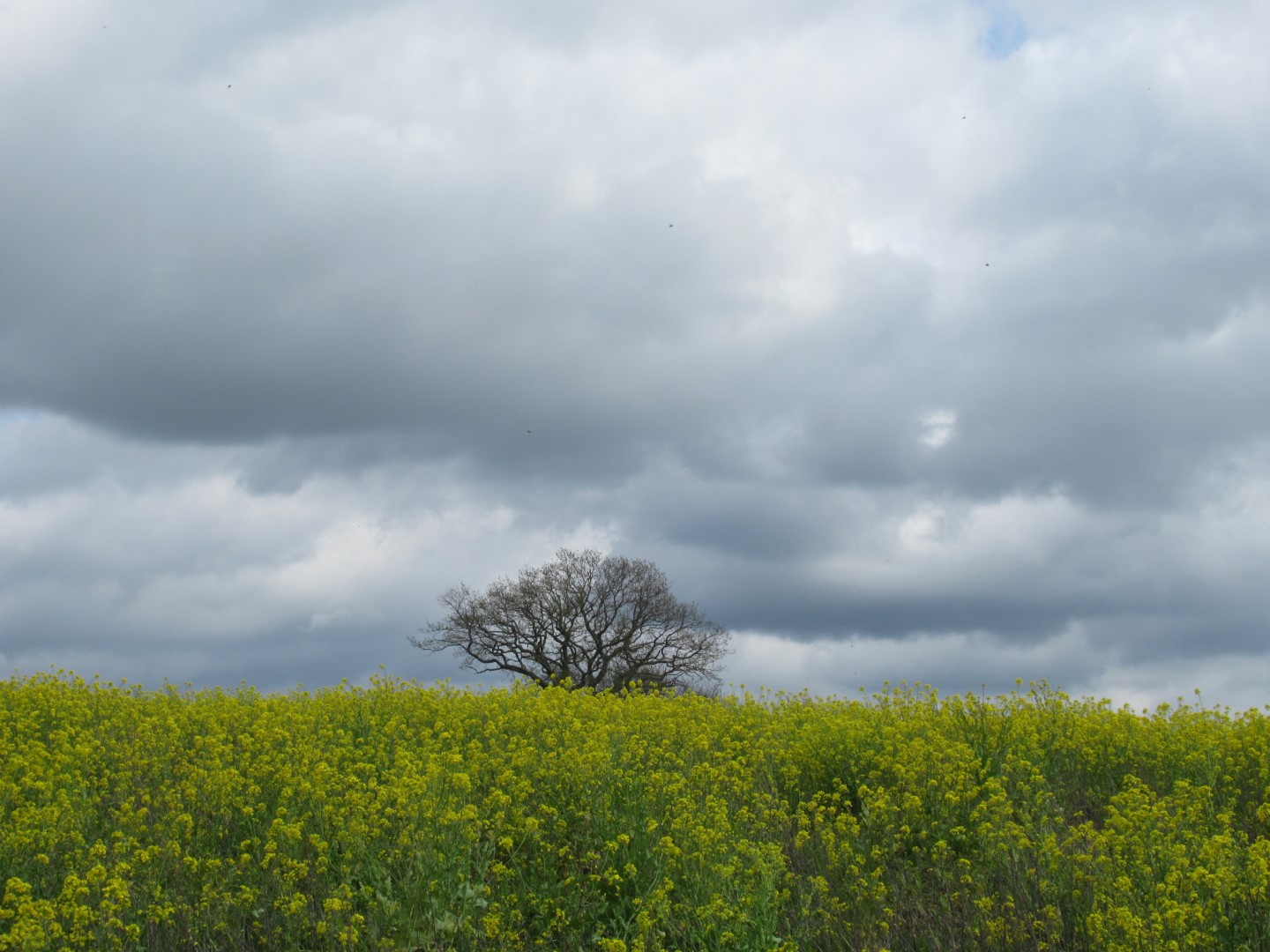
Storm clouds and rapeseed
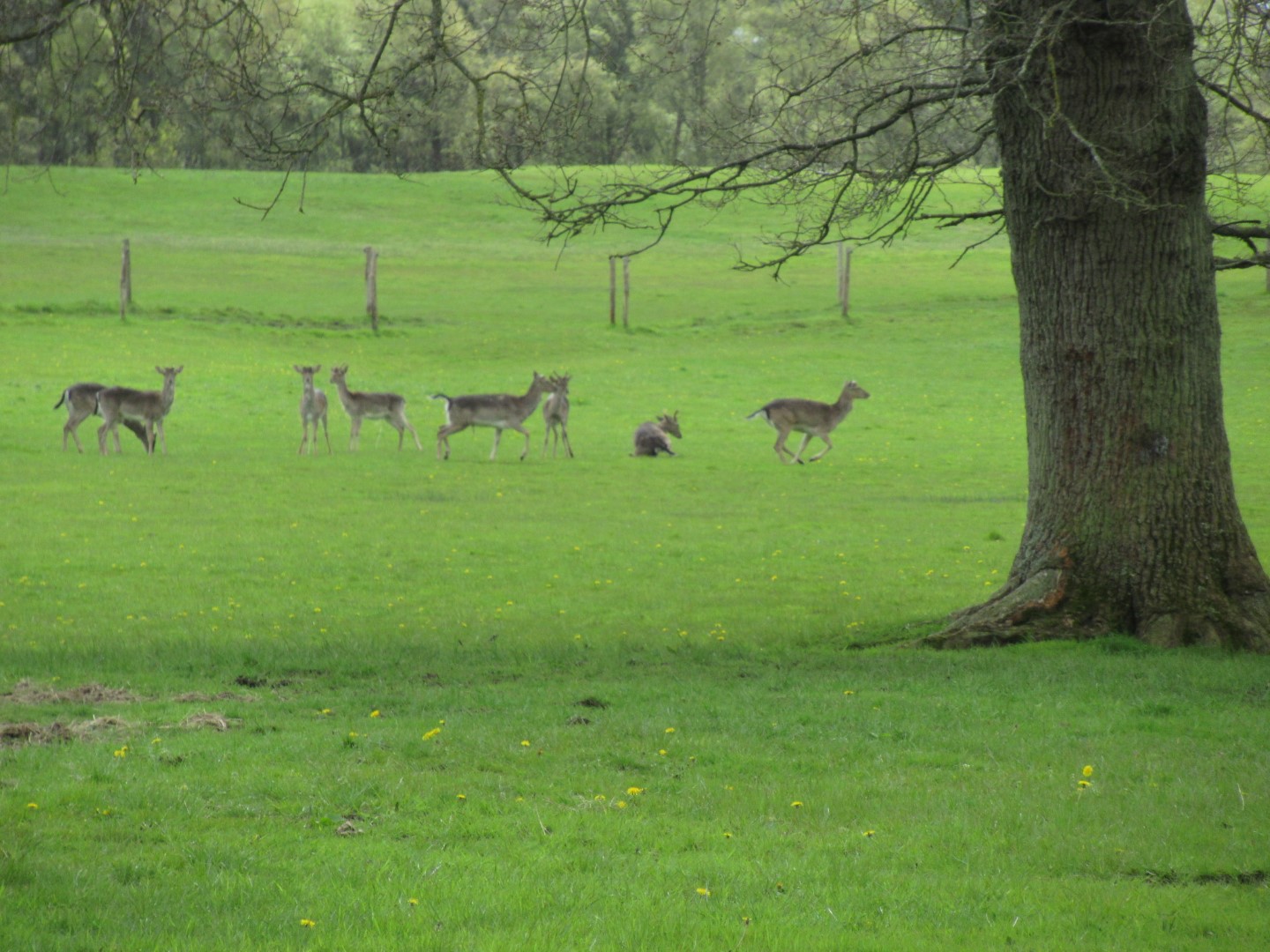
Deer leaving as they feel this field was not big enough for all of us
We could have split this walk
No, I’m not getting up, I’ve walked enough already
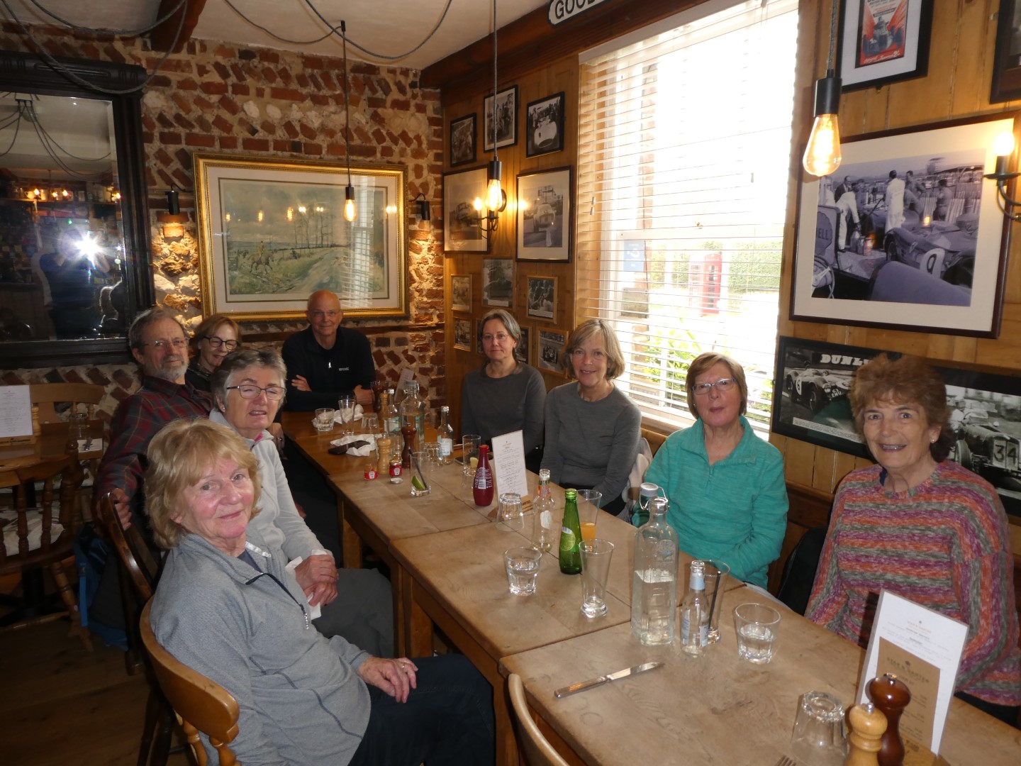
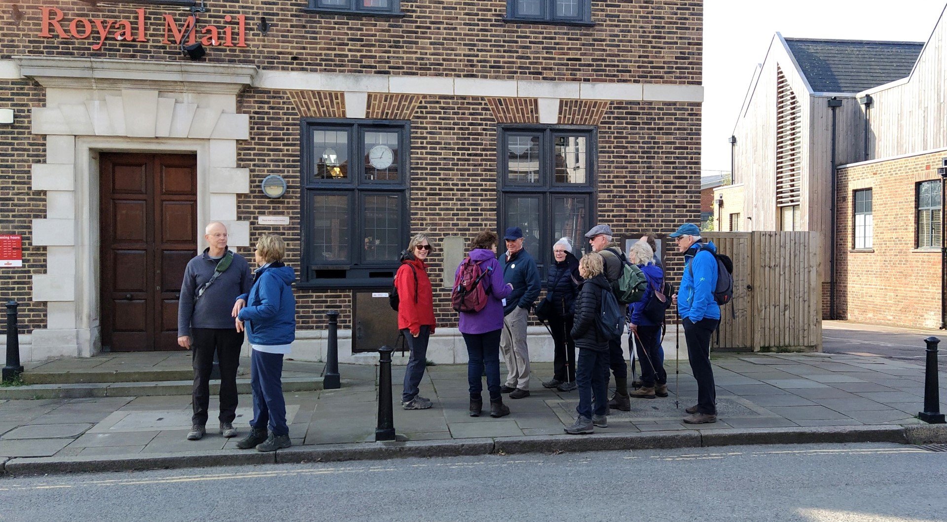
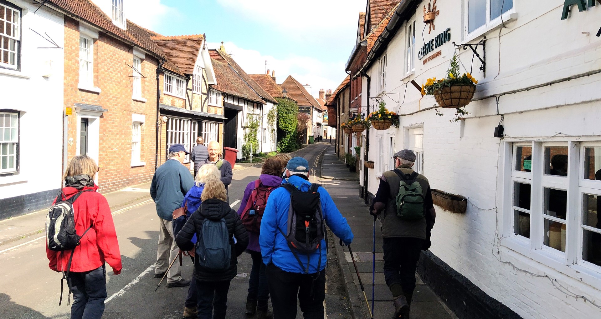
East Dean walk on 26th April 2023
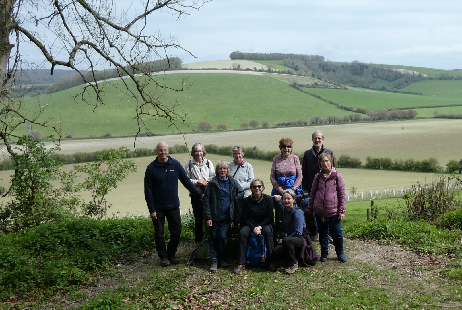
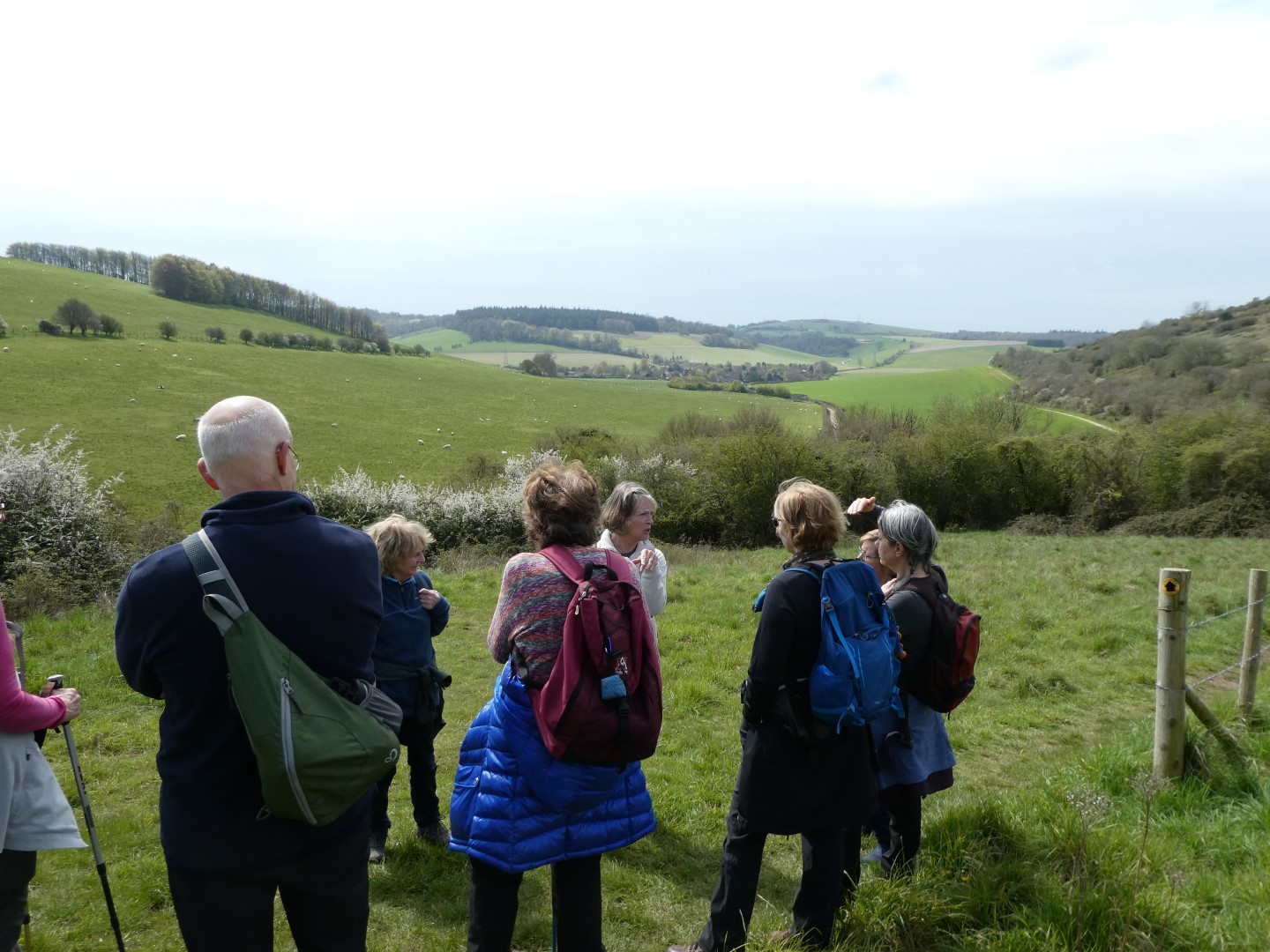
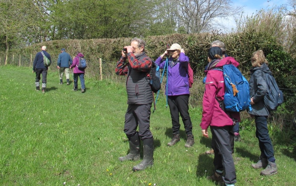
We had a dry morning for our walk led by Jay, starting out from East Dean. We headed south for Monarch's Way, up a steep path in a field, which needed a few stops to allegedly admire the view. The path took us between Eastdean Park and Chalton Park up to the Counter's Gate and at this point we turned away from the Monarch's Way to take the Chalk Road down to Chalton. This route passes close to the Goodwood Racecourse, where horse racing has taken place annually since 1801. On the way down we found the perfect coffee stop with a seat and a glorious view over towards the South Downs ridge (perfect is a slight exaggeration, there was only one bench!). When we neared Chalton, we passed Fox Hall, used by the Duke of Monmouth as a fox hunting Lodge in 1680. Local surviving foxes were probably relieved to hear he had been beheaded only five years later. After walking through the village we turned up the West Sussex Literary Trail (North Lane) beside Levins Down and up another hill, again providing great views and the opportunity to re-oxygenate! Once in Wood Lea wood we left the Literary Trail to head back towards East Dean and the welcoming Star and Garter where we had lunch.
All ready for the off
Comparing notes on breathlessness
No, we're not breathless
Heading down Chalk Road
Coffee stop
Some of us didn't even need a seat!
The wonderful rolling countryside to enjoy
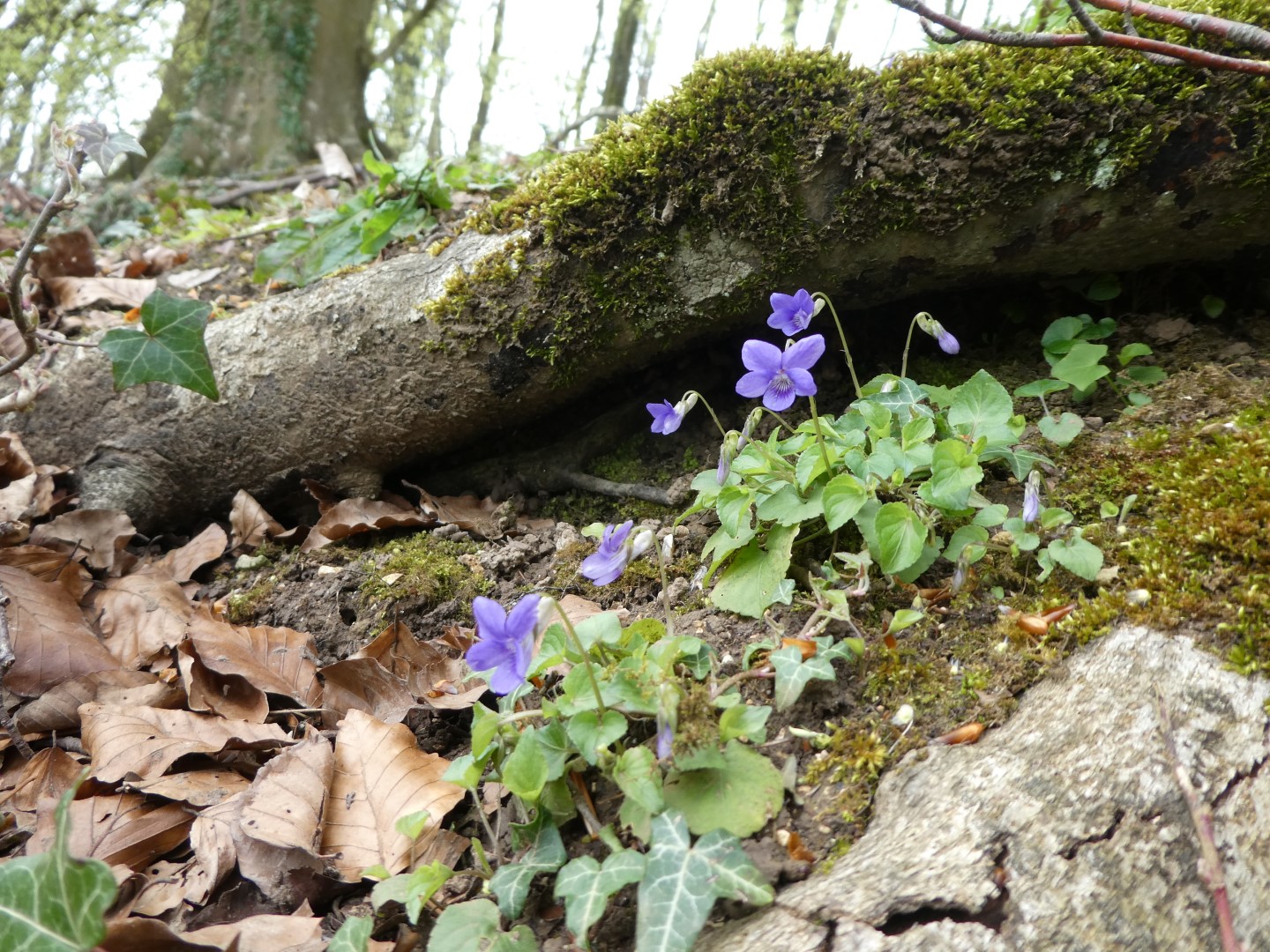
Violets hiding in the woods
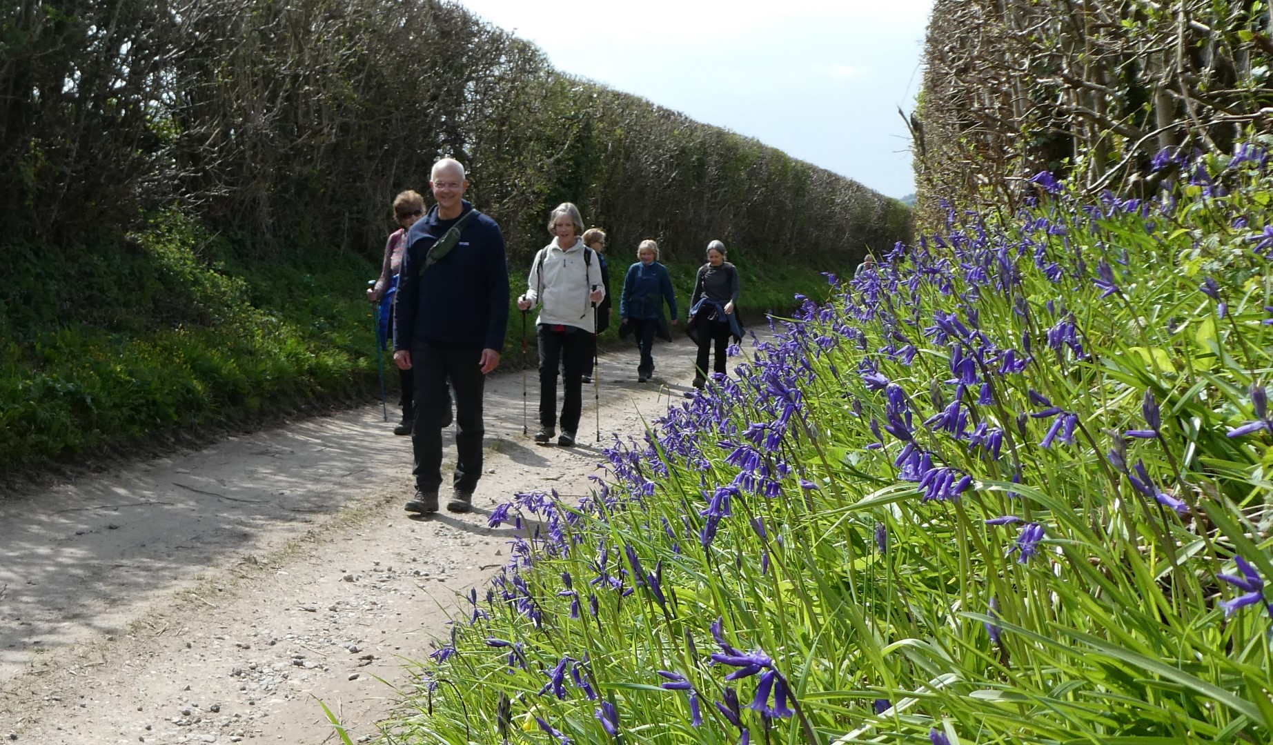
Bluebells in North Lane
The Trundle at Goodwood almost visible in the distance
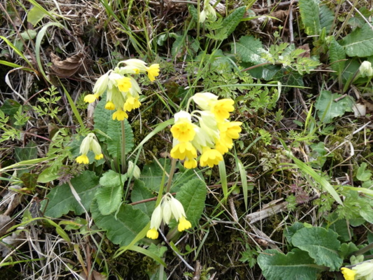
Cowslips are back again!
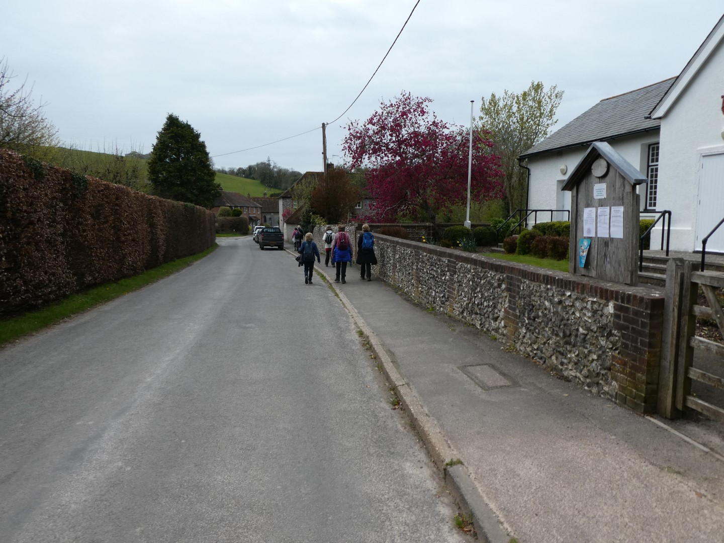
Back in the village, passing the Village Hall
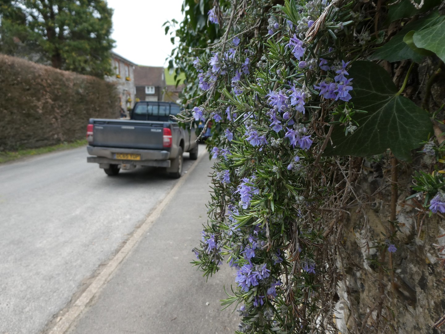
Plenty of rosemary - where's the lamb?
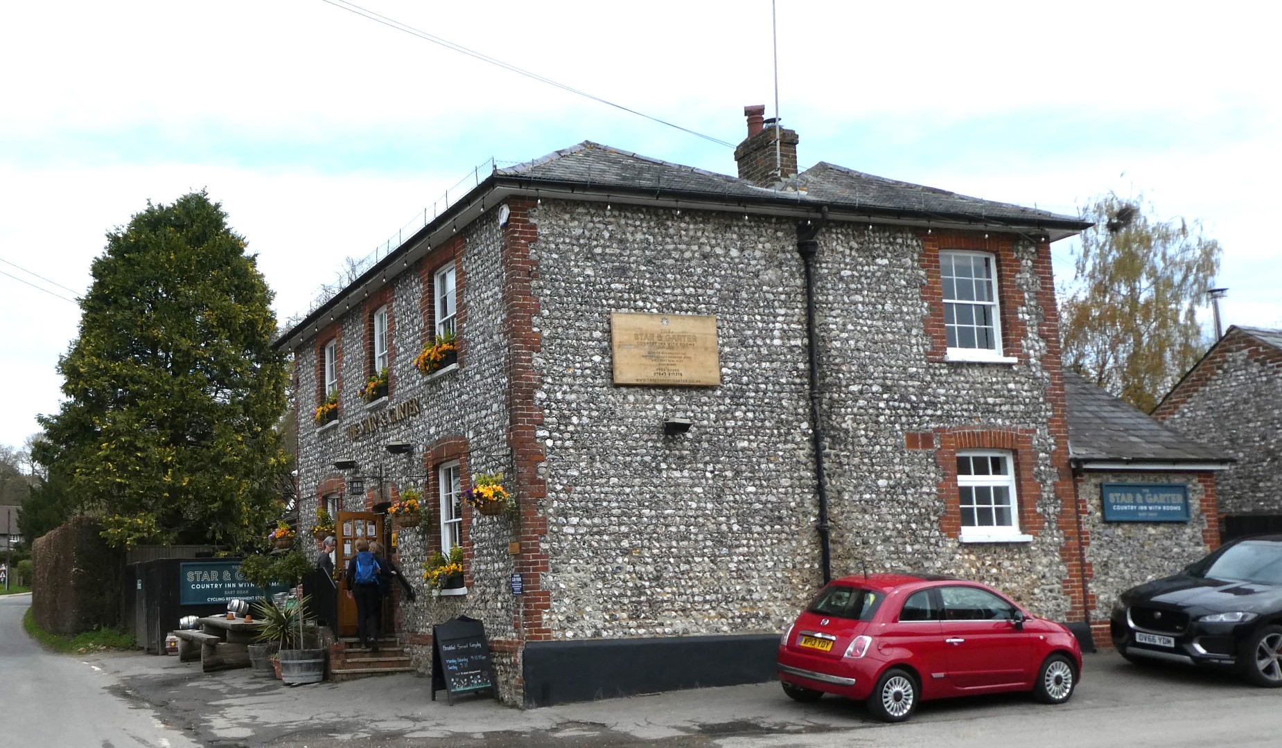
Star and Garter in the typical Sussex flint and brick
Walkers at rest!
_(1).png)
About 5 miles
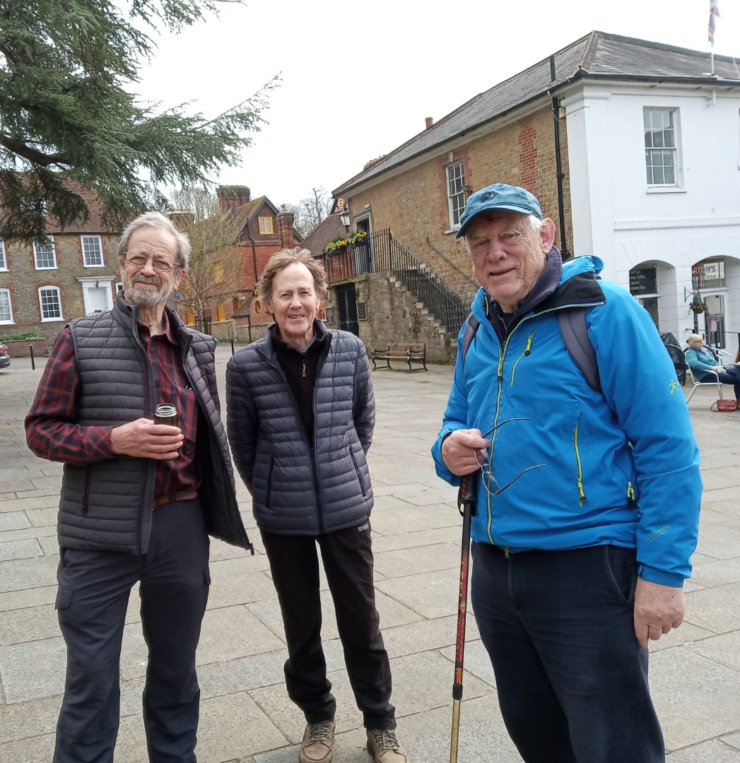
Midhurst walk on 19th April 2023
With the laudable wish to support Midhurst whilst it suffers from the effect of the fire in the Angel Hotel, Pauline had a very well researched walk around the town. We started from the Grange car park and passed the 17th C Bricklayers Arms on our way to North Street. The damage to the Angel Hotel and adjacent buildings was very sad to see. It was originally built as a coaching Inn in the 17th C and where the Pilgrim Fathers stayed before setting off for America. The current frontage is 19th C. Opposite the Angel is the Tesco store, architecturally now dated but only built after the demolition of the Odeon Cinema in 1966. The Odeon was a large Victorian building, capable of seating 750 in its prime.
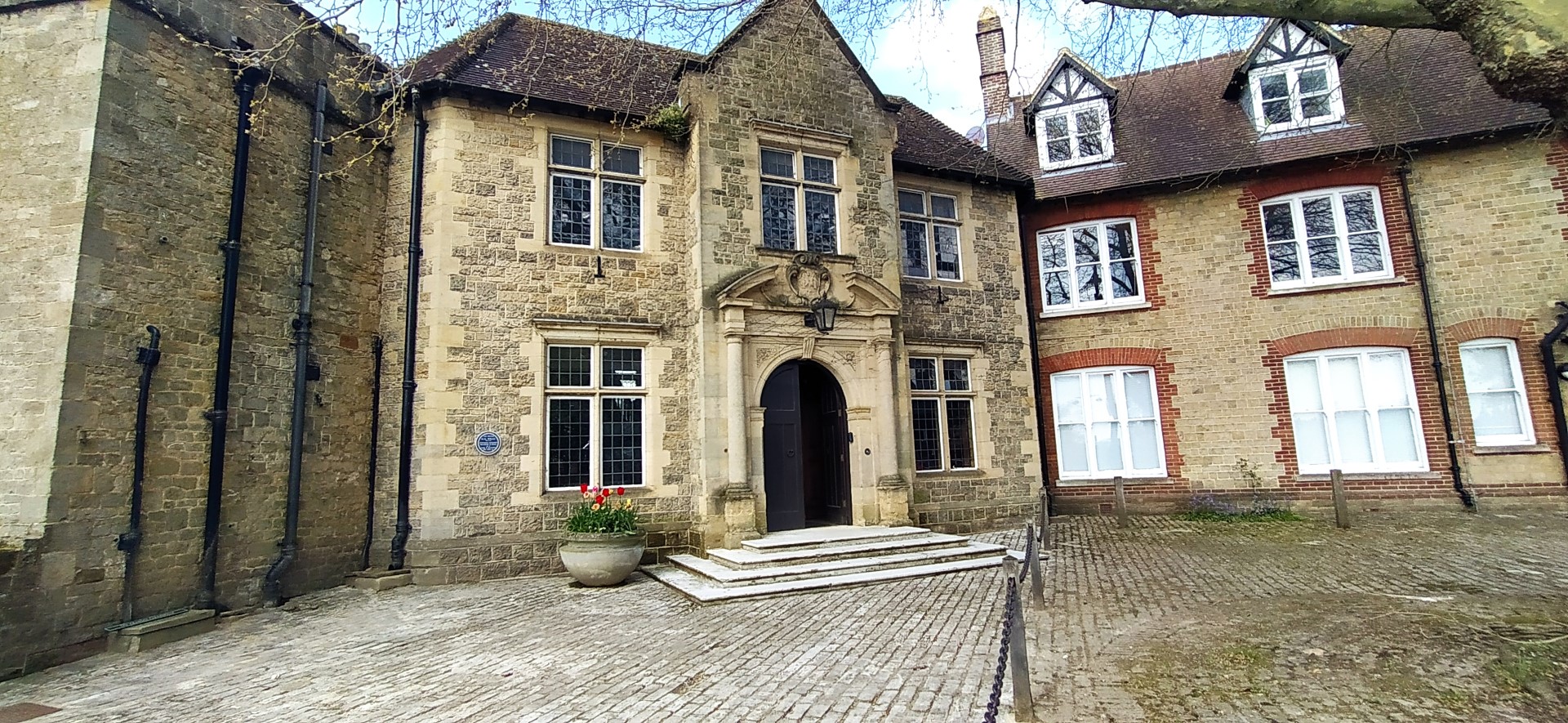
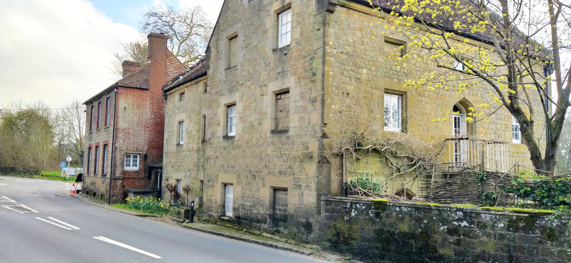
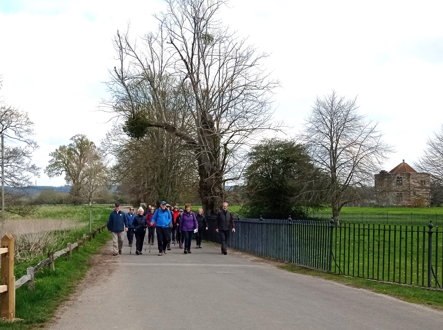
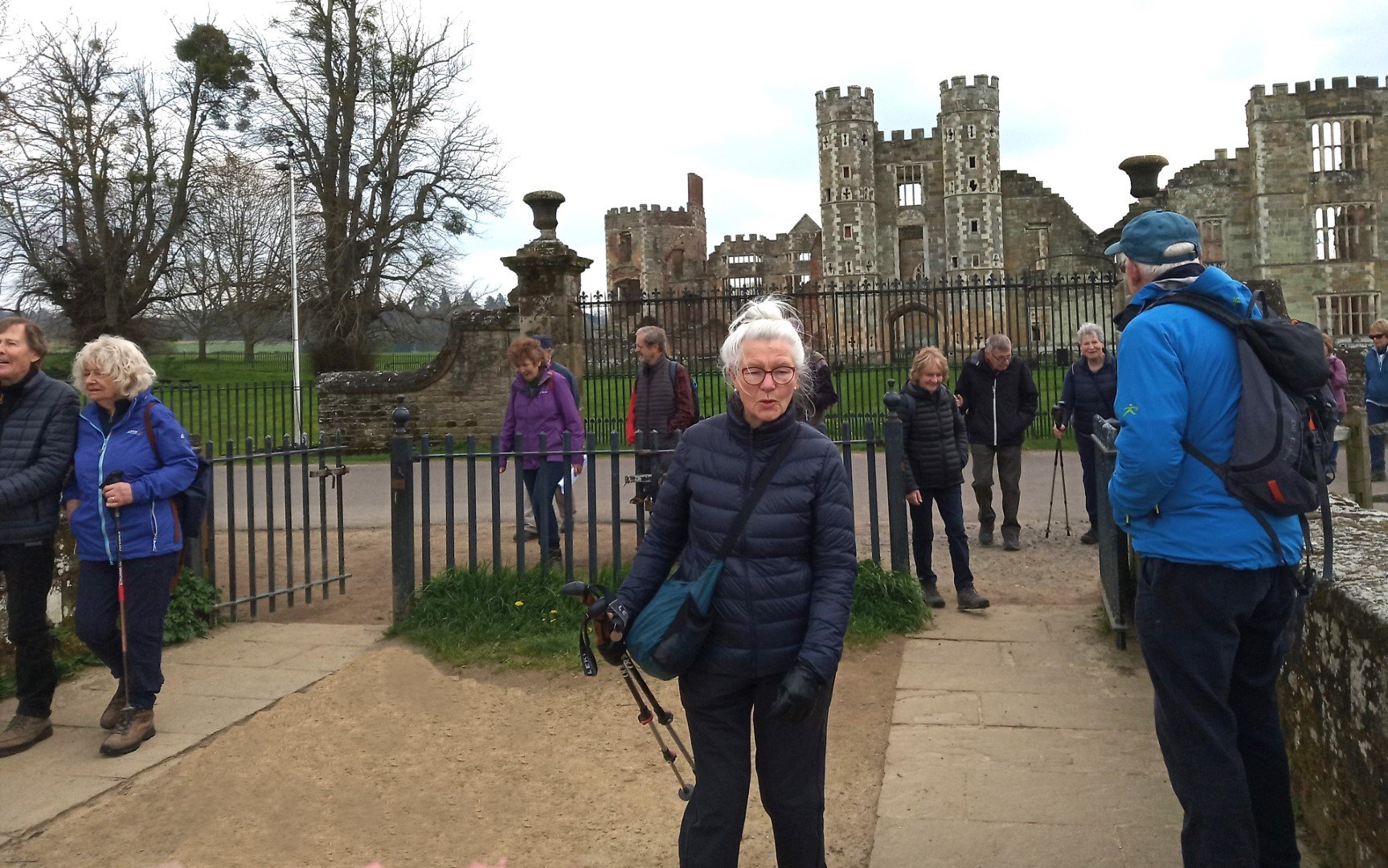
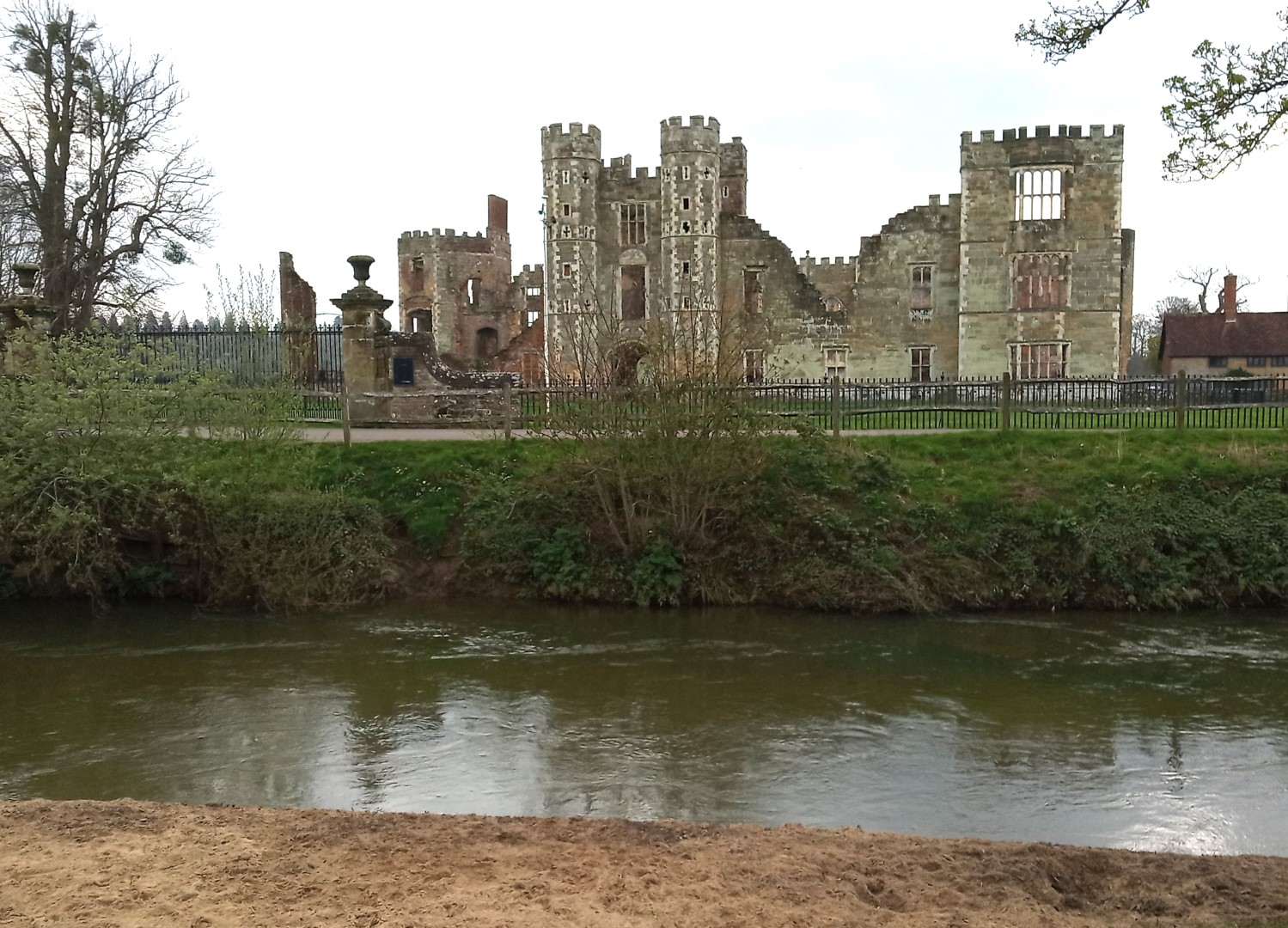
After looking at the disaster site, we wandered past Midhurst Grammar School where H G Wells was a pupil and teacher, before reaching the River Rother and the huge corn mill building, some parts dating from 1810. From there we headed for Cowdray House, built in the style of a castle in the early 1500's. Visited by Henry VIII, Edward VI and Elizabeth I. Guy Fawkes was employed as a footman and his employer, the 2nd Viscount was imprisoned as he was accused of being complicit in the plot to destroy Parliament in 1605. However this had nothing to do with the fire that eventually almost completely destroyed Cowdray House in 1793. After this we headed for St Ann's Hill, passing the Wharf which no longer sees any barges. The last barge departed Midhurst in 1871 carrying a cargo of timber. The ‘Eleanor’, pulled by horse, arrived in Weybridge ten days later. We then climbed a slope to have a look at the site of a castle, once on St Ann's Hill. Built at the same time as Arundel Castle it had completely disappeared by the 15th Century and whilst walls are visible they are 20th C replicas of where the walls had originally been. After our exertions (we had walked over a mile!) we stopped in the Market Square, home to some old stocks and the even older St Mary and St Denys Church to drink some excellent coffee from Comestibles across the road. Suitably refreshed we were able to put a few more miles on the clock by walking past South Pond (once the fish pond for the castle that once stood on St Anns Hill) and up the Jubilee Path, then on to New Road and subsequently Heathfield Park. After walking down Carron Lane we took another diversion through St Margarets Way to reach our lunch stop in Redh . We hadn't covered many miles but had travelled through centuries of history, kindly provided by walk leader Pauline. An excellent journey.
 ]
]
Midhurst Post Office built in 1932, once also housed the telephone exchange
Outside the Bricklayers Arms in Wool Lane 17th C and The Wheatsheaf in the distance, also 17th C
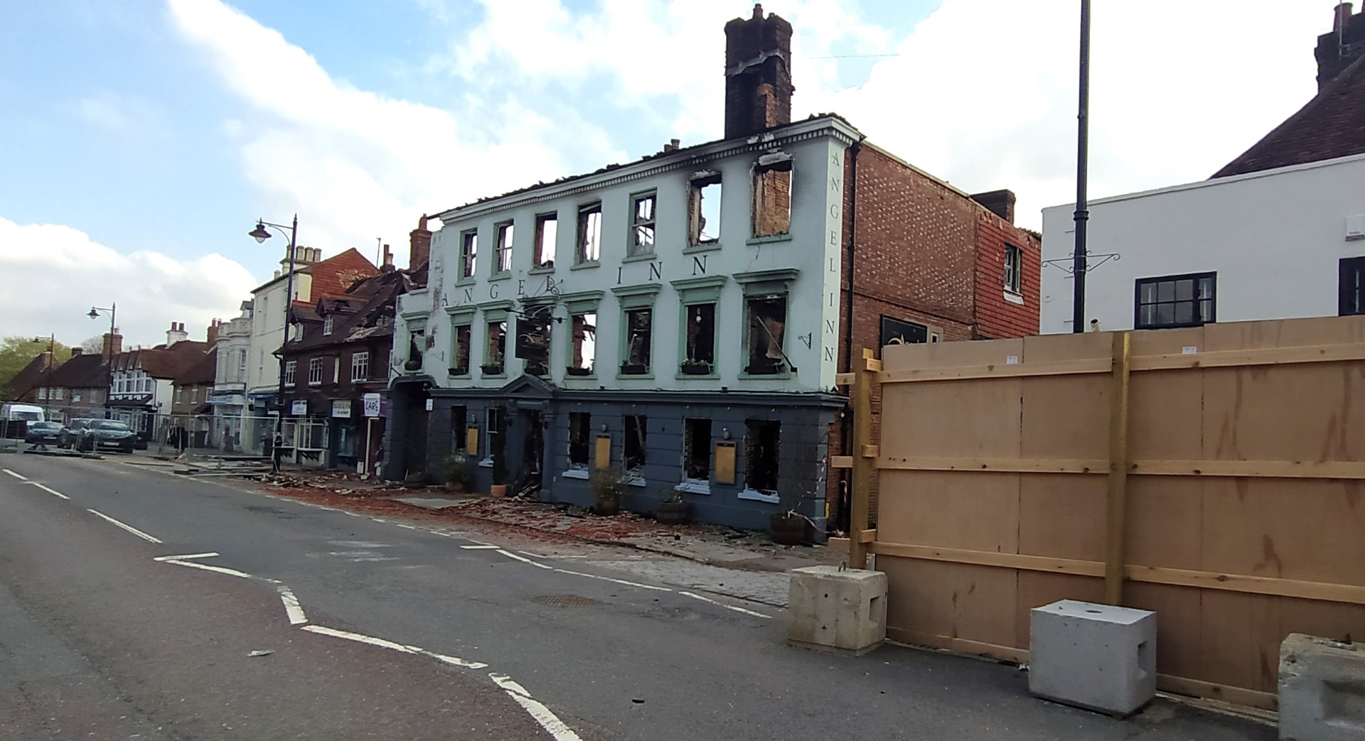
Angel Hotel looking very sad
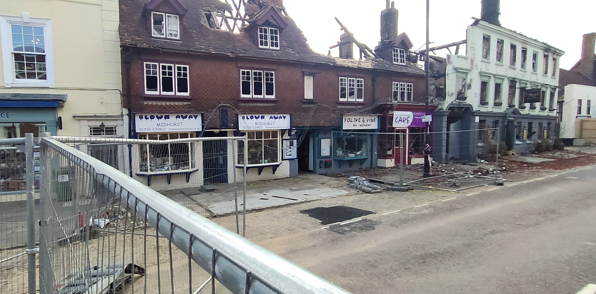
Three shops also destroyed in the fire
Midhurst Grammar School - became co-educational in 1956. H G Wells was a teacher/pupil in 1883
Partly dating from 1810, used to grind corn to at least 1927, and probably later.
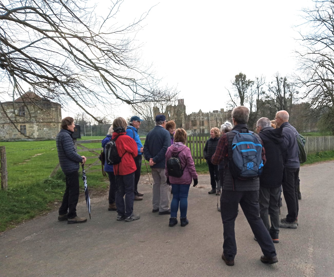
Getting a potted history of this extraordinary House. The small one (the Round House) to the left was the building
that controlled the water to the main house.
Approaching the main gate
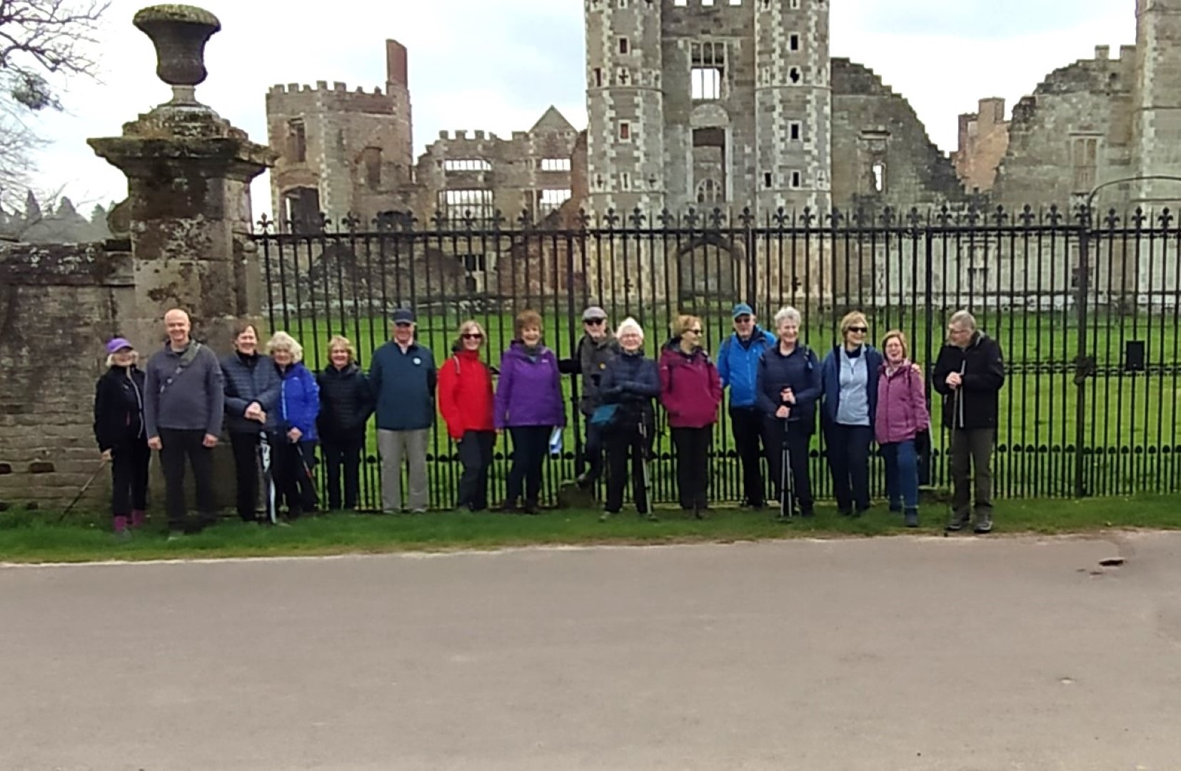
All nicely lined up for a group photo.
Plenty of gates across the river
River Rother flows past on its way to Stopham and the River Arun
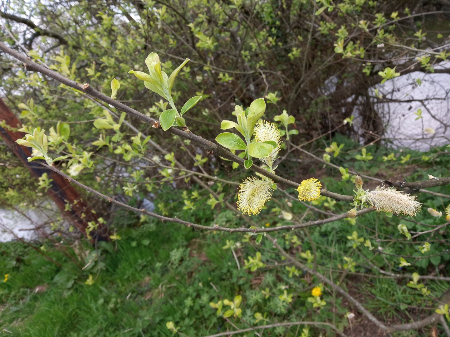
Catkins - a sure sign of spring. A flower spike of many tree types - willow, hazel and silver birch etc. (says google!)
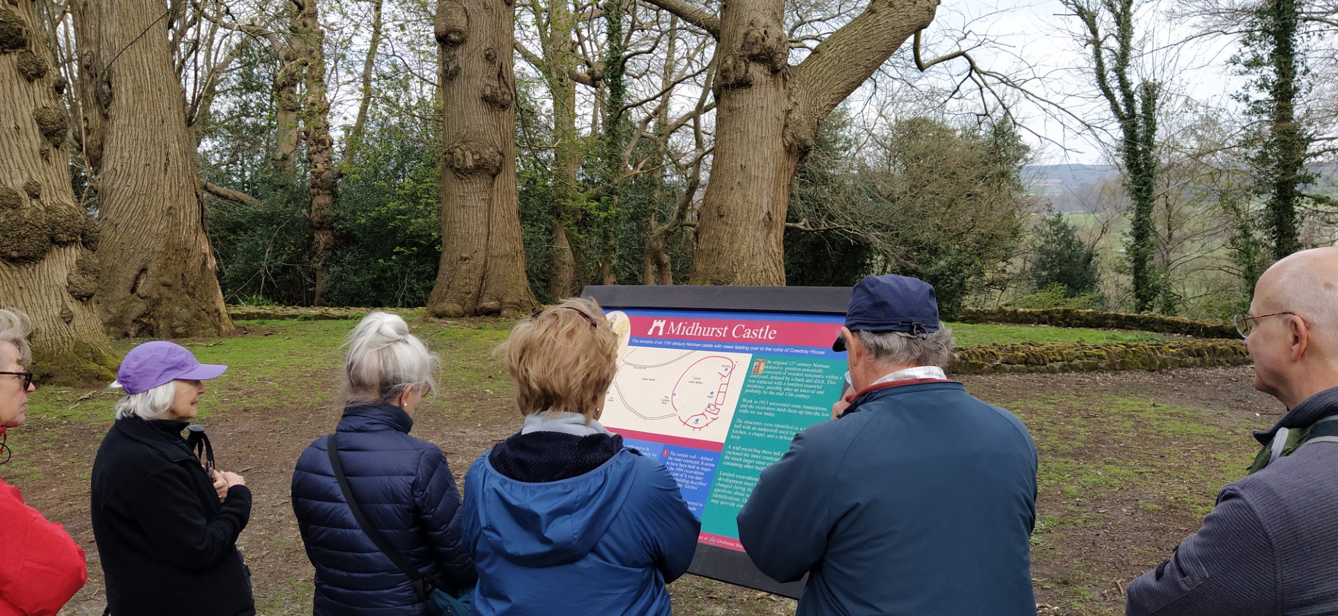
On top of St Ann's Hill, site of the original Midhurst Castle
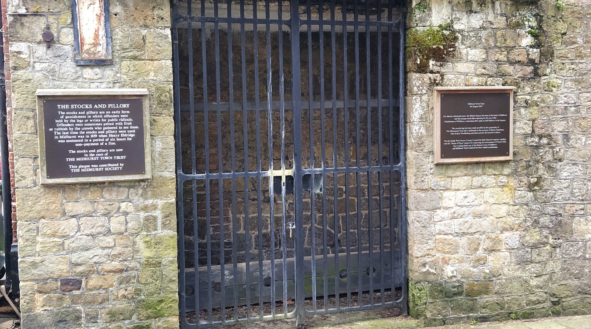
Midhurst stocks outside the old Town Hall, last used in anger in 1859.
Three locals, trying hard to ignore the stocks behind them.
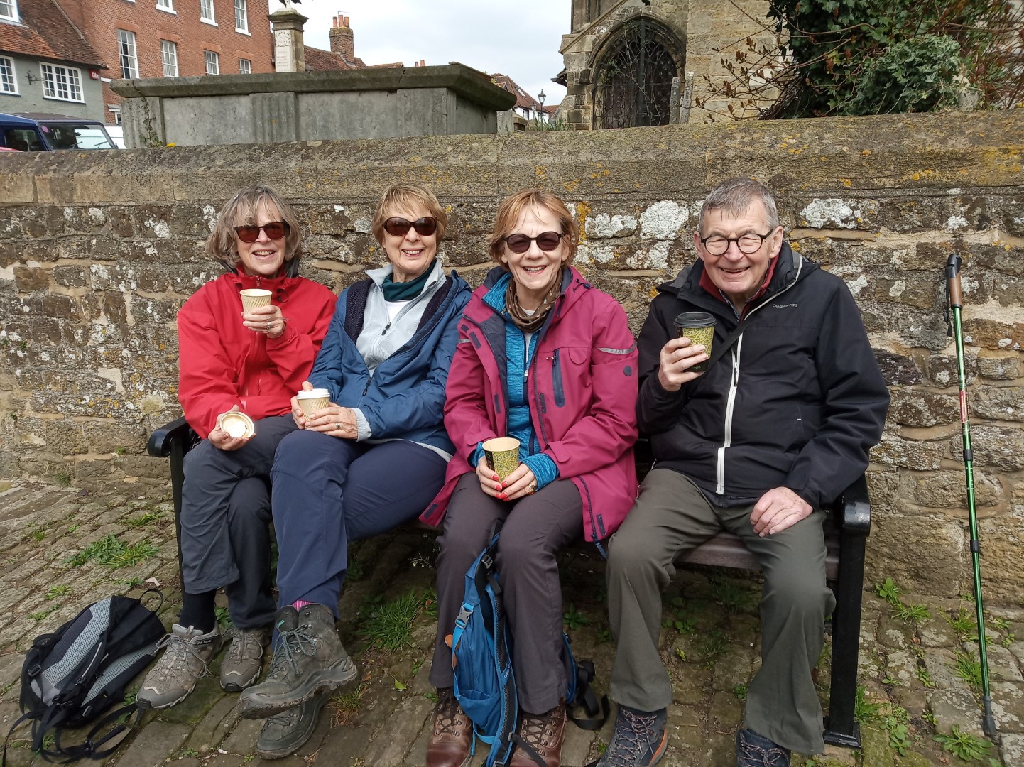
Drinks!
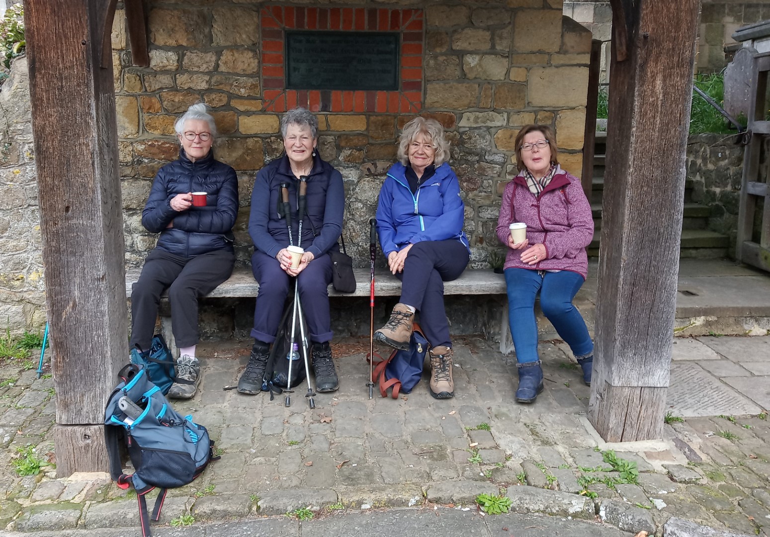
More resting walkers.
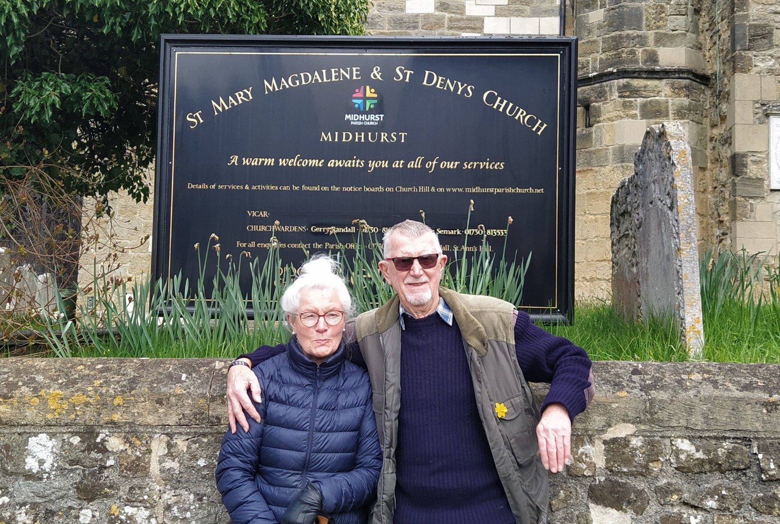
Who are these people?
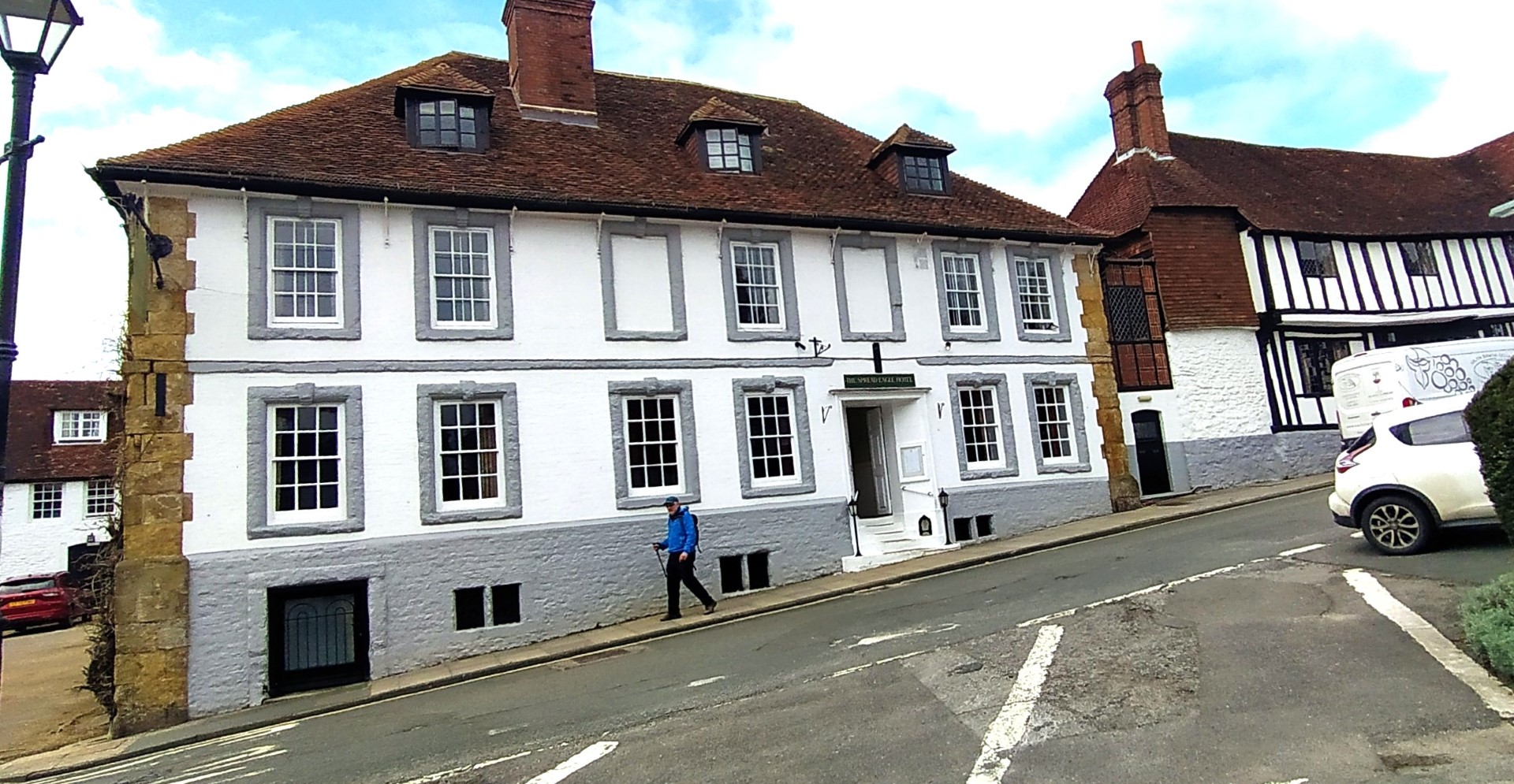
Spread Eagle Hotel dates from 1430. Queen Elizabeth I stayed there and Lord Nelson paused for a while.
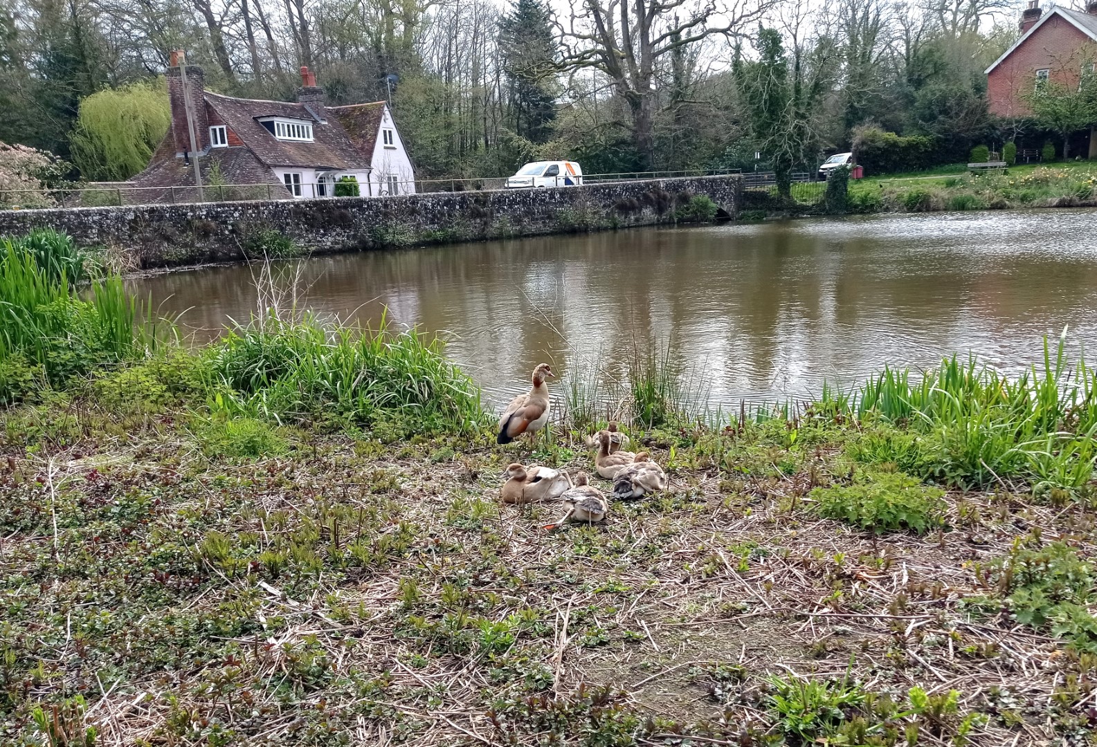
South Pond, once the fish pond for Midhurst Castle
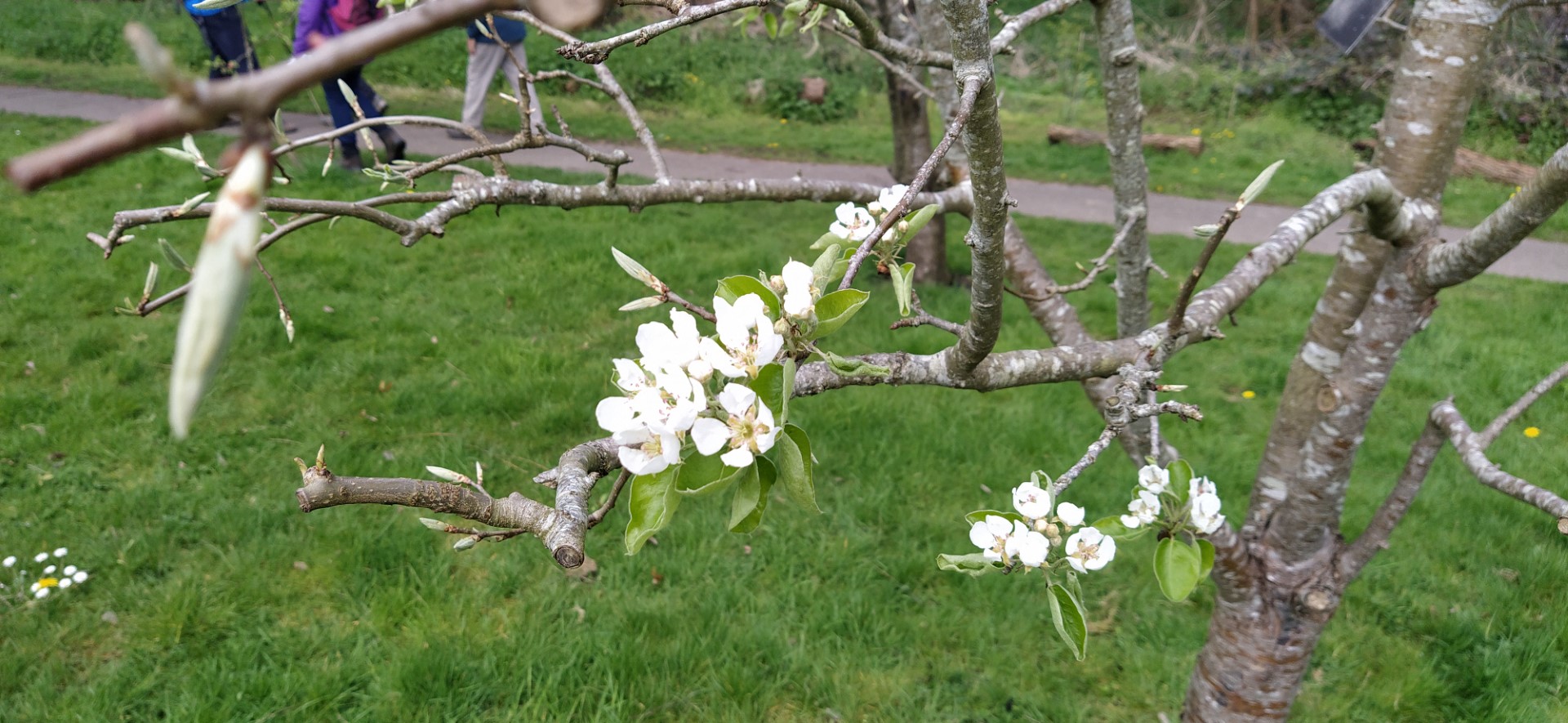
Apple blossom near the Jubilee Path
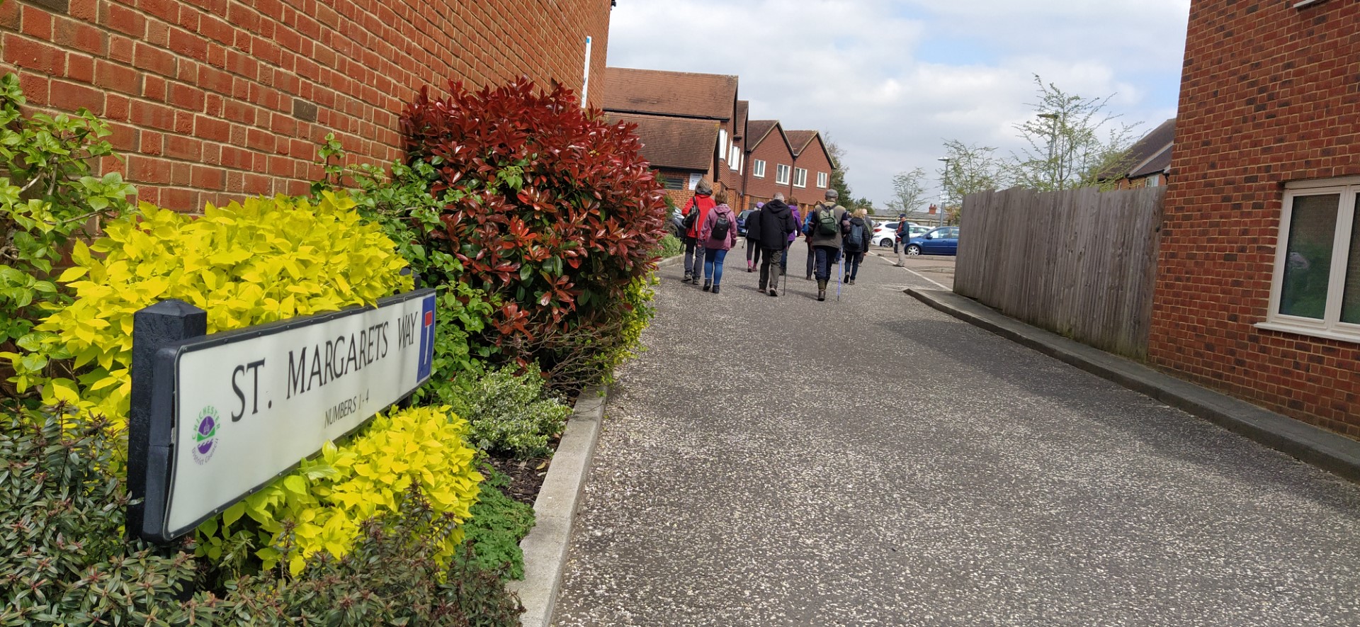
St Margaret's Way. on the site of the old St Margaret's Convent which closed in 2009.
Red. H was the last stop for the walkers/strollers. All looking forward to lunch in a building once called The Three Horshoes.
.png)
Not too many miles!
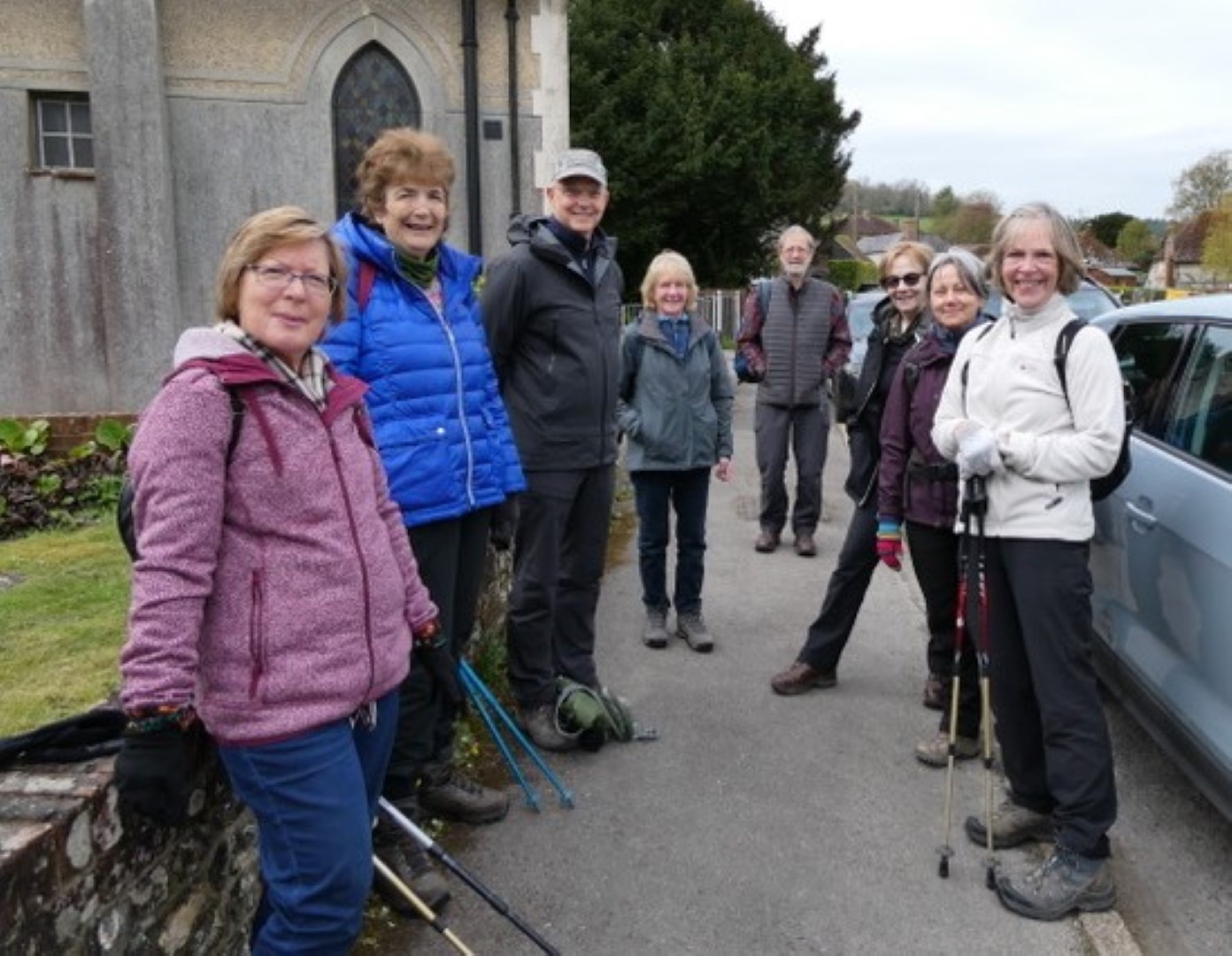
Duncton Walk on 12th April 2023
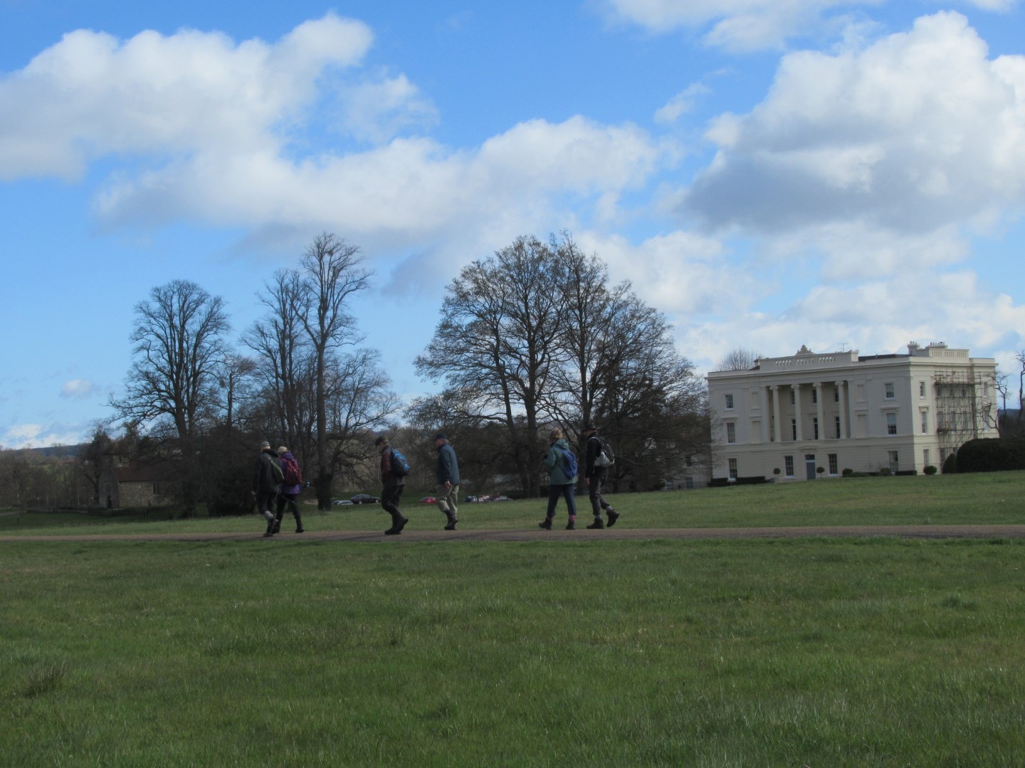
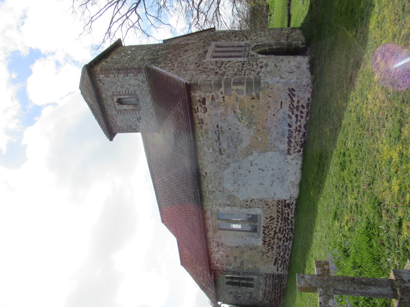
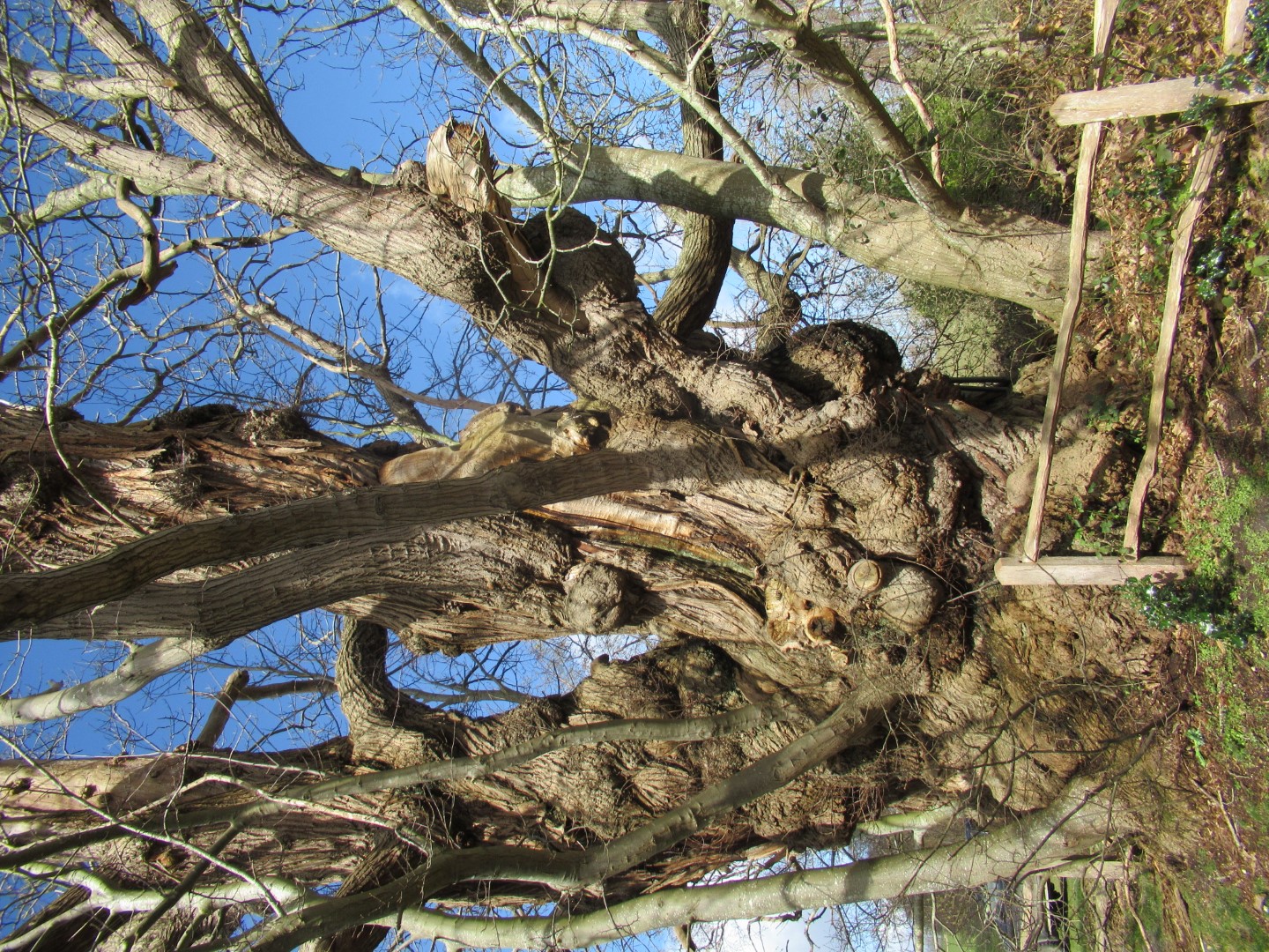
We gathered at The Cricketers in Dunction for the 5.3mile walk led by Jay and Lindsay. Entering Burton Park through the Grade II listed gateway past the magnificent building dating from 1875 which is the current construction following a long history of other buildings, fires and developments, now being residences but having been requestioned by the army in WWII, a girls boarding school and police dog training centre. The parkland originates from the 13th century and was landscaped in the 18th and 19th century. We skirted Burton Church (Grade I listed tiny Norman) before stopping to admire the largest sweet chestnut tree we had ever seen.
A group photo opportunity was taken at the Burton Mill Pond weir enjoying the bracing wind followed by a stroll through The Moor and The Warren woodland down to Sutton where a coffee break was enjoyed in the sun at St John Baptist’s church. Kathryn’s birthday chocolates went down a treat. Suitably victualled we headed north west over fields and a stream to Barlavington, past St Mary’s Church (end of 12th Century), across more fields to Duncton Mill and the Trout farm. We made our way back to The Cricketers where we revelled in our excellent lunch choices.
Ready to go, astonished at the sunshine after the earlier rain
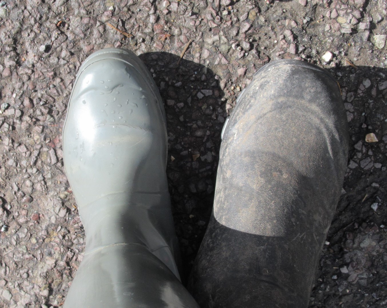
I really should check I have matching footwear before I leave home
Burton Park
This is a bargain property, you can trust us to do you a great deal!
Tiny, Norman Burton Church
Giant Sweet Chestnut Tree
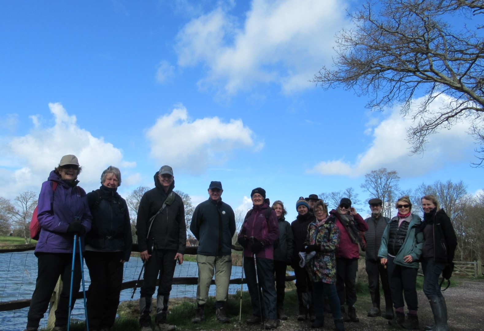
Team photo at the Mill Pond
Leading from the front
Of course if you will wear the wrong footwear!
The coffee break
You’d better be quick, not sure it’ll hold up much longer
Pond with island and algae
St Mary’s Church, Barlavington with the two arcade bay blocked off
Oh dear what are they over there?
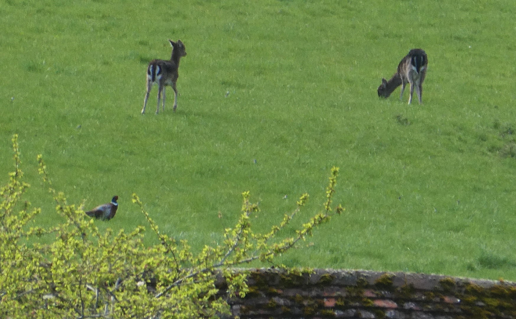
Deer, dear, and a pheasant
The rain came at the Trout Farm
The welcome lunch
Recent galleries
- Pagham walk on 15th July 2026
- Earnley on 8th July 2026
- Kingley Vale on 1st July 2026
- Elsted walk on 17th June 2026
- Heyshott Walk on 10th June 2026
History
2026
2025
- December (3)
- November (4)
- October (5)
- September (4)
- August (4)
- July (5)
- June (4)
- May (5)
- April (4)
- March (5)
- February (3)
- January (4)
2024
- December (3)
- November (5)
- October (4)
- September (4)
- August (4)
- July (4)
- June (5)
- May (5)
- April (5)
- March (5)
- February (5)
- January (4)
2023
- December (3)
- November (6)
- October (5)
- September (5)
- August (3)
- July (4)
- June (6)
- May (5)
- April (4)
- March (5)
- February (4)
- January (4)
2022
- December (4)
- November (5)
- October (5)
- September (3)
- August (4)
- July (6)
- June (11)
- May (4)
- April (5)
- March (4)
- February (5)
- January (4)
2021
2020
- December (4)
- November (1)
- October (5)
- September (4)
- August (3)
- July (3)
- March (2)
- February (5)
- January (3)
2019
- December (2)
- November (5)
- October (4)
- September (3)
- August (4)
- July (4)
- June (11)
- May (5)
- April (4)
- March (3)
- February (5)
- January (5)
2018
- December (2)
- November (4)
- October (4)
- September (5)
- August (4)
- July (3)
- June (5)
- May (8)
- April (4)
- March (4)
- February (5)
- January (3)
2017
- December (3)
- November (5)
- October (3)
- September (4)
- August (4)
- July (4)
- June (11)
- May (4)
- April (4)
- March (3)
- February (4)
- January (5)
2016
- December (3)
- November (4)
- October (5)
- September (4)
- August (3)
- July (6)
- June (11)
- May (4)
- April (5)
- March (3)
- February (10)
- January (2)
2015
2014
- June (2)
1997
- February (1)