Gallery (Click on titles!)
-
Duncton Long walk on 9th June 2023
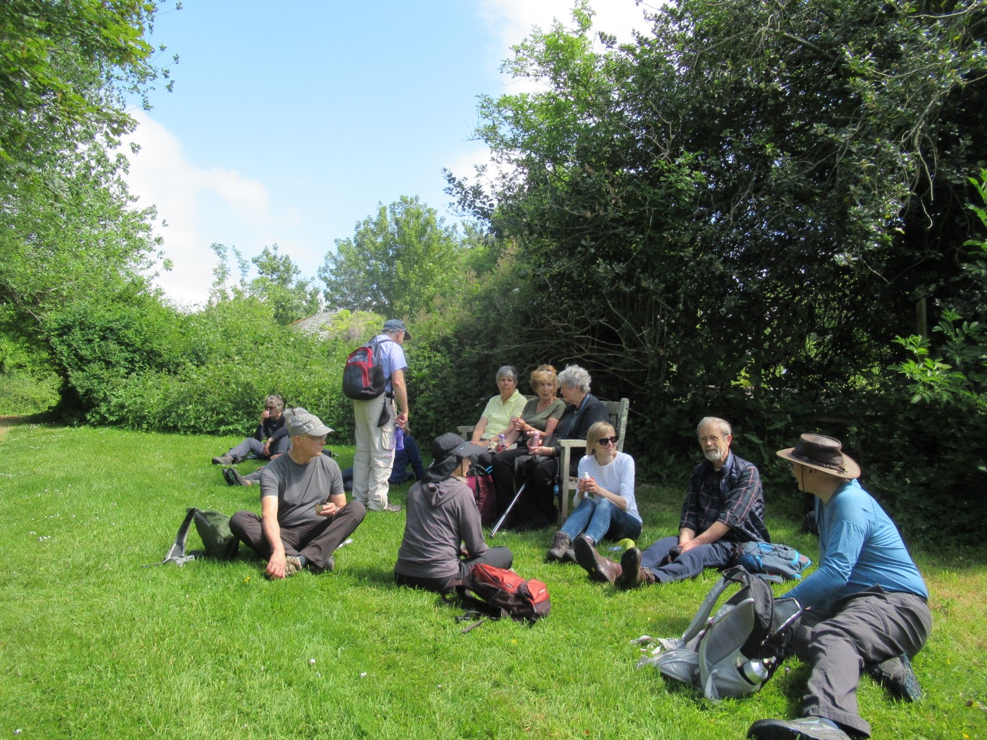
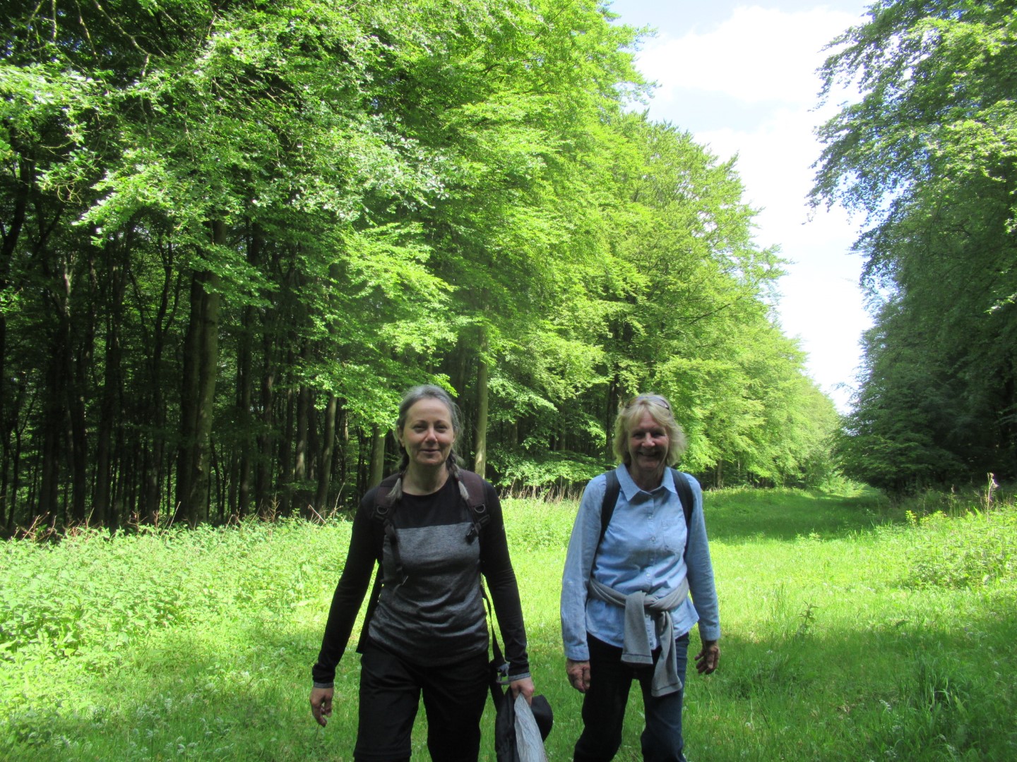
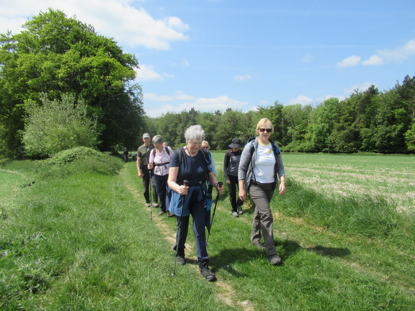
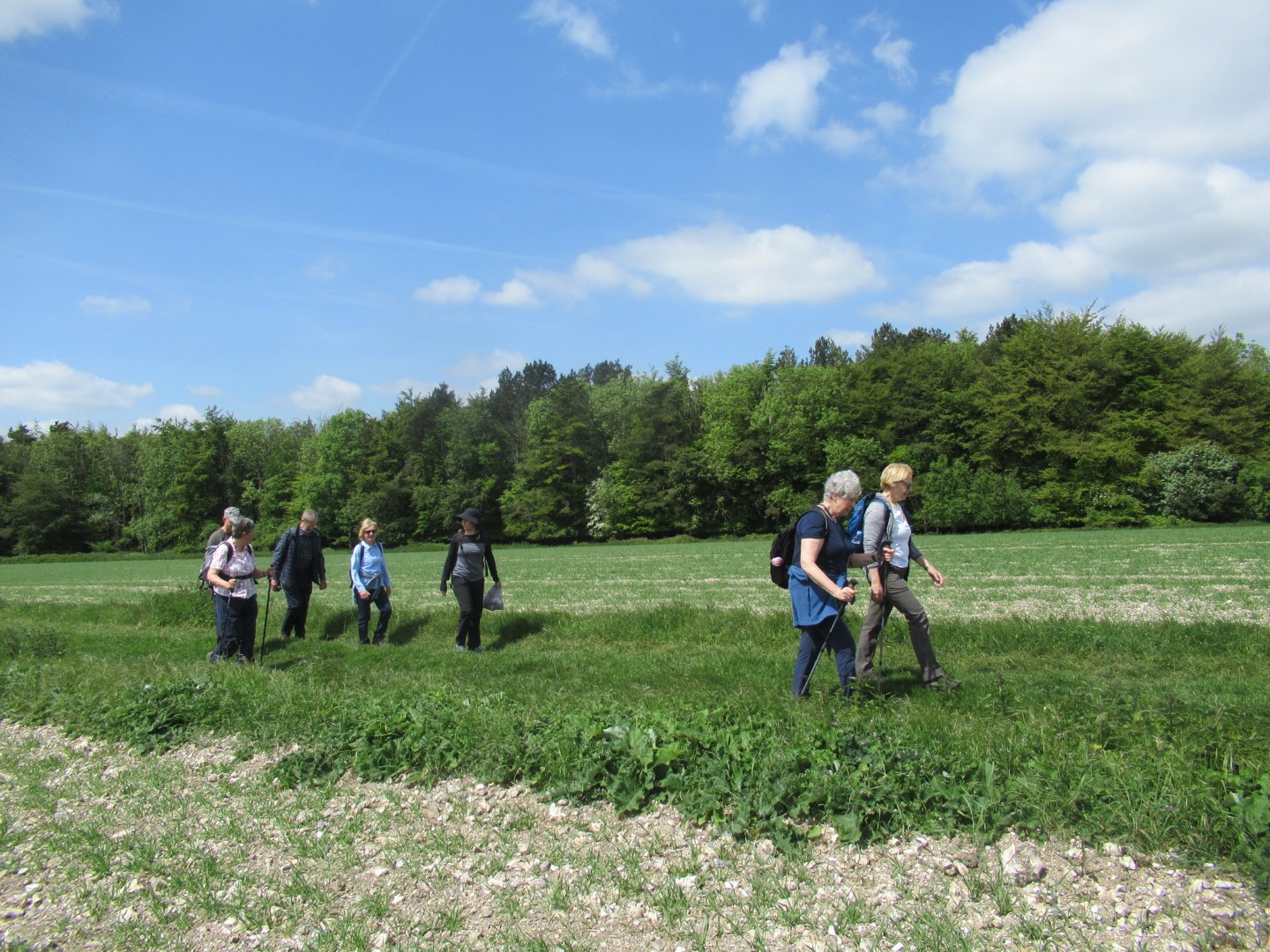
The masochistic five gathered in Duncton for Jay and Lindsay’s 12.7 mile undulating jaunt with a promise of liquid refreshment at the end. At the start we walked the West Sussex Literary Trail to the west of the main road with Jay demonstrating the M. Python technique for stile crossing as we headed towards Ridlington Farm where the signage confused us simple walkers. Following the compacted track through the farm we entered Duncton Common where the trees offered shade from the sun onto the Serpentine Trail, crossing into Lavington Plantation passed one of the Serpentine sculptures as we made our way across the heath. Our coffee break was used to increase the area of exposed legs so we could cool down, and scare the local wildlife. Skirting around Upper Norwood, we came to Lavington Stud Farm. The significant ascent of Woolavington Down where the Ash die back has scarred the landscape got us onto the South Downs Way. Our lunch break was enhanced by the indubitable cerebral development in our understanding of the universe and the English language. The South Downs Way bore us across the main road again, up to Burton Down where we left to approach the transmitter masts at Glatting Beacon. Ticking off the body parts of Scotcher’s Bottom and Denture as we passed, the display of wild Orchids on the path edges and fields added to our enjoyment. The woods at Barlavington Hanger gave respite from the heat of the afternoon including our descent before heading to the Duncton Mill Trout farm. Returning to our start, we adjourned to The Cricketers for cooling refreshments.
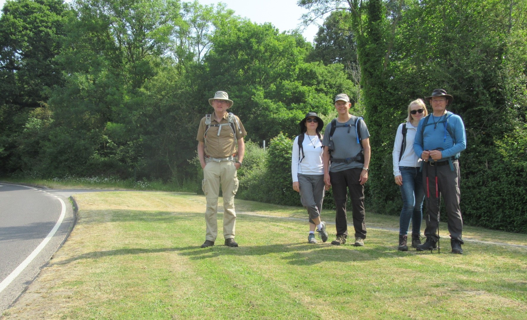
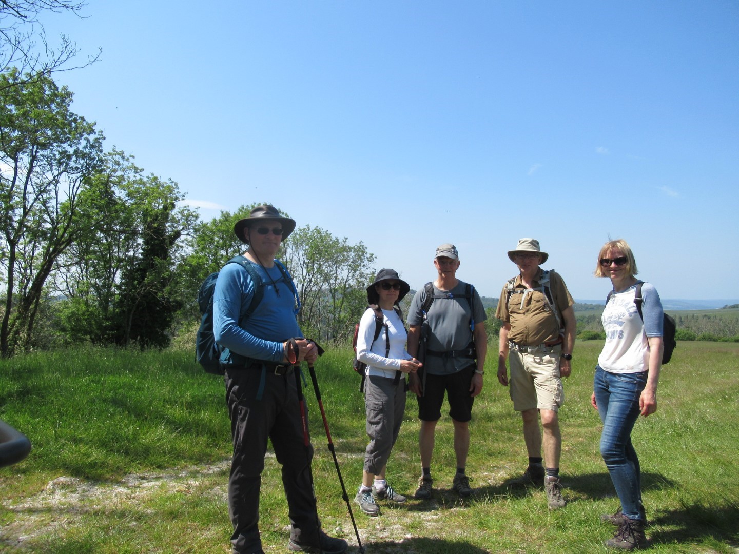
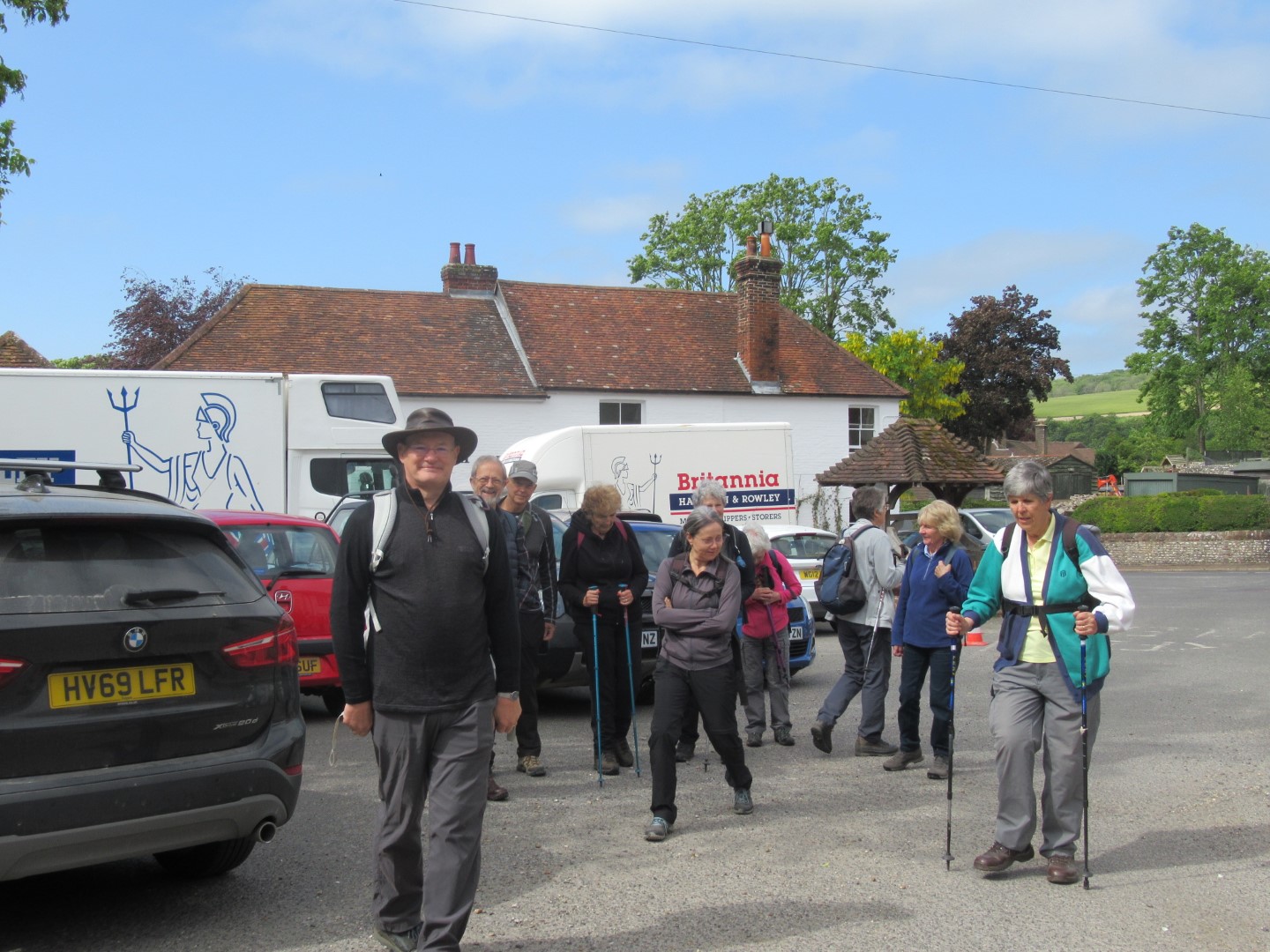
Los cinco amigos
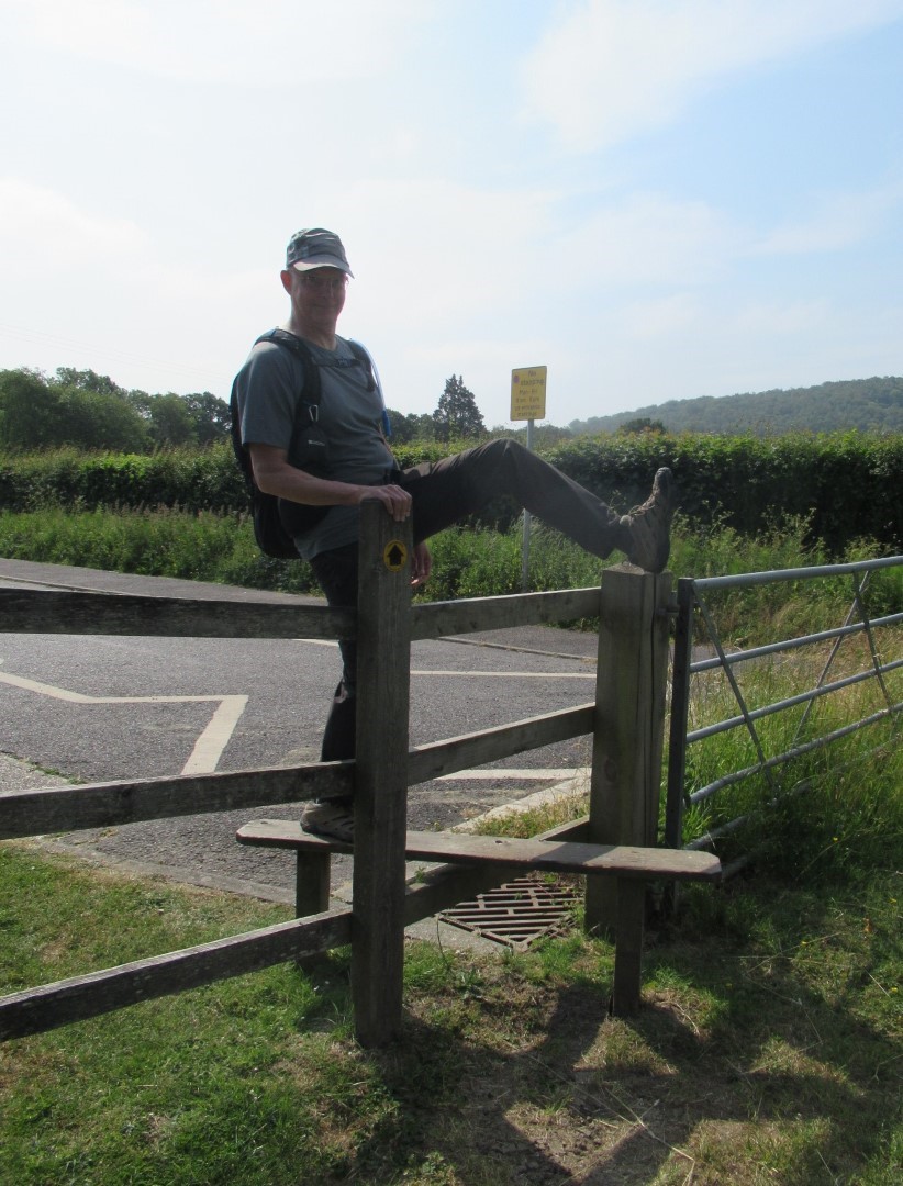
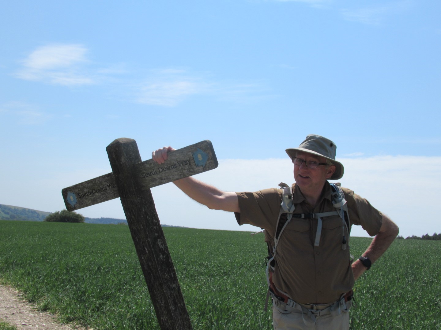
Stile crossing in style
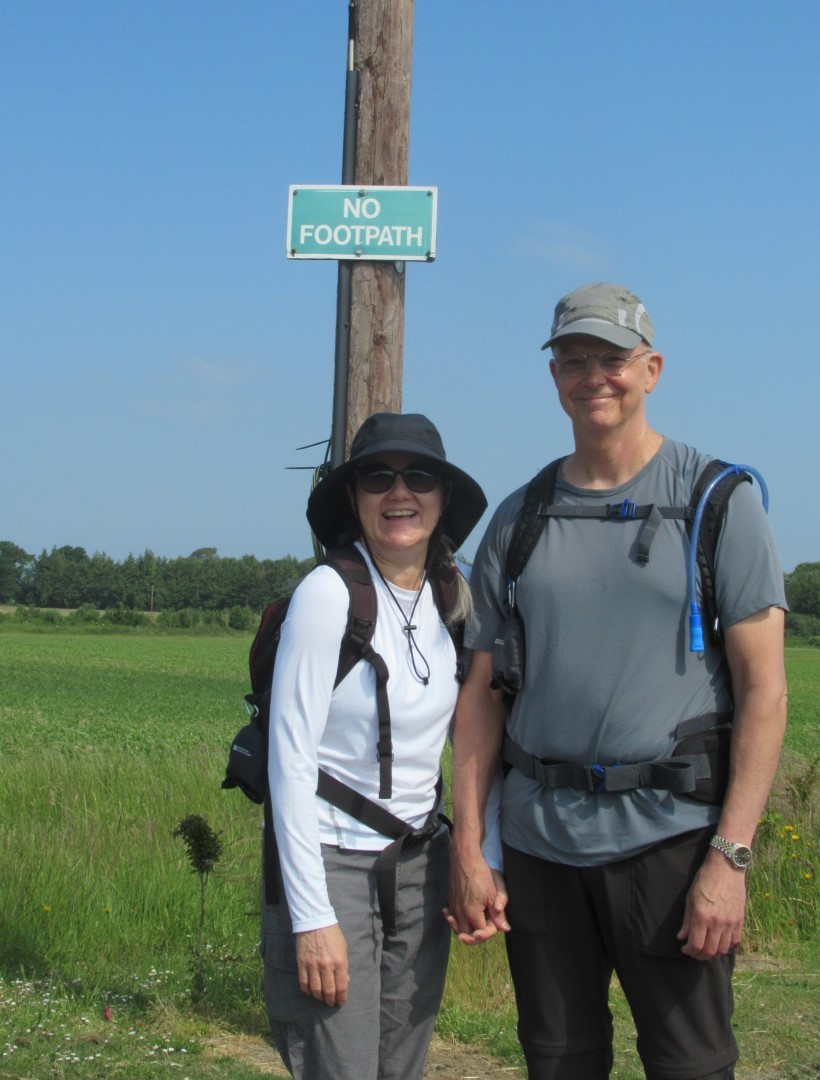
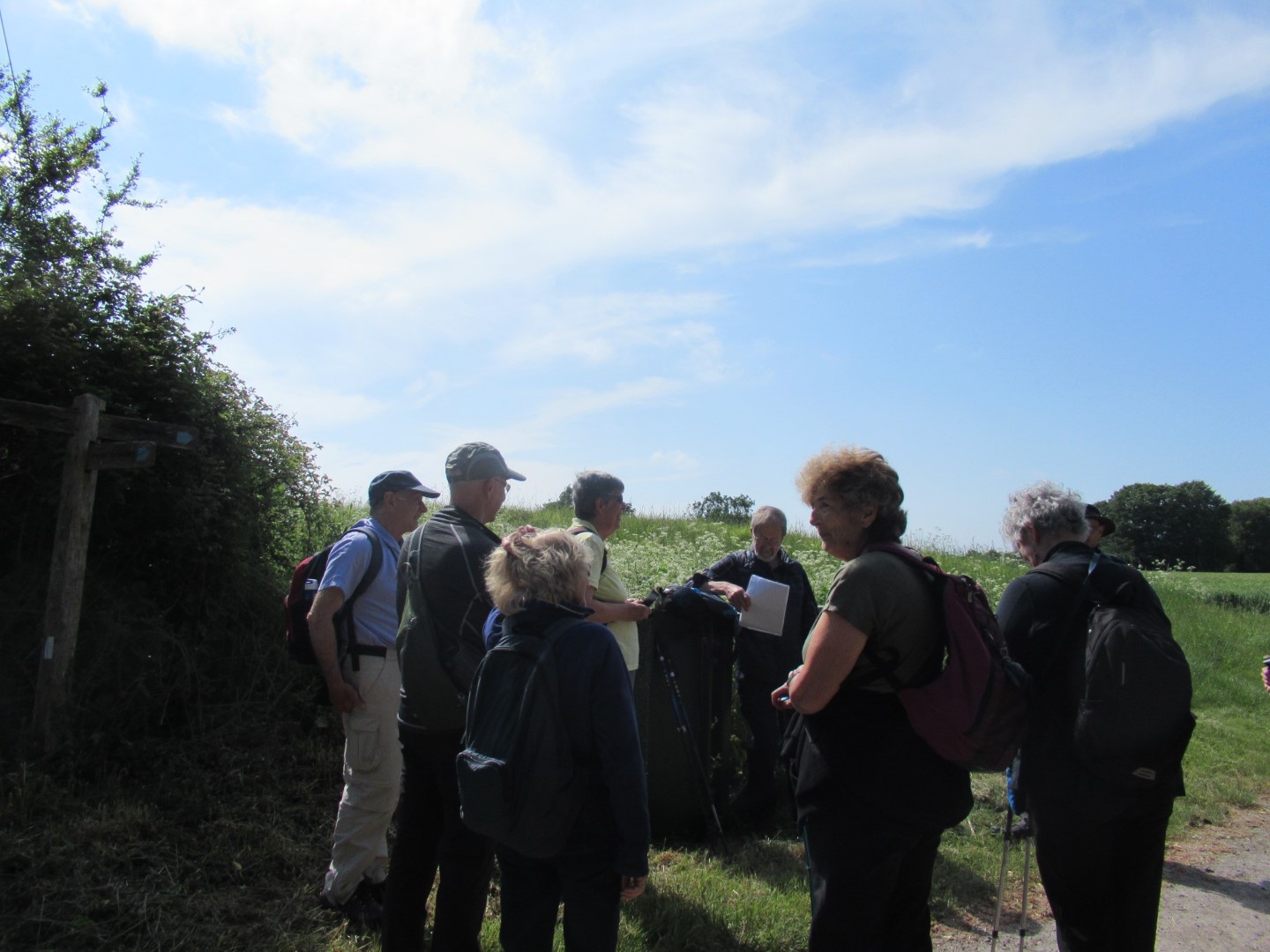
That’s not what the map says!
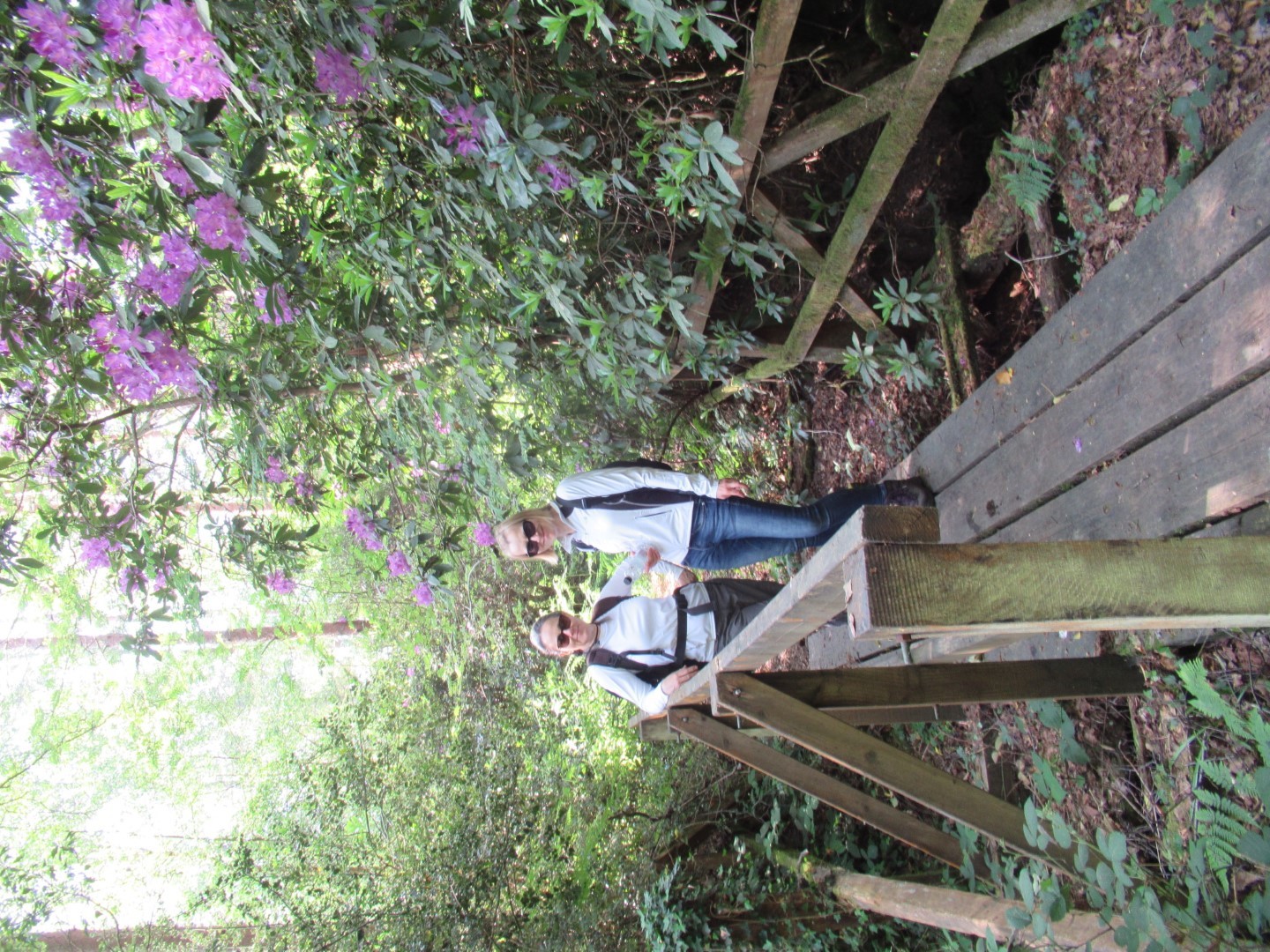
Crossing the Rubicon?
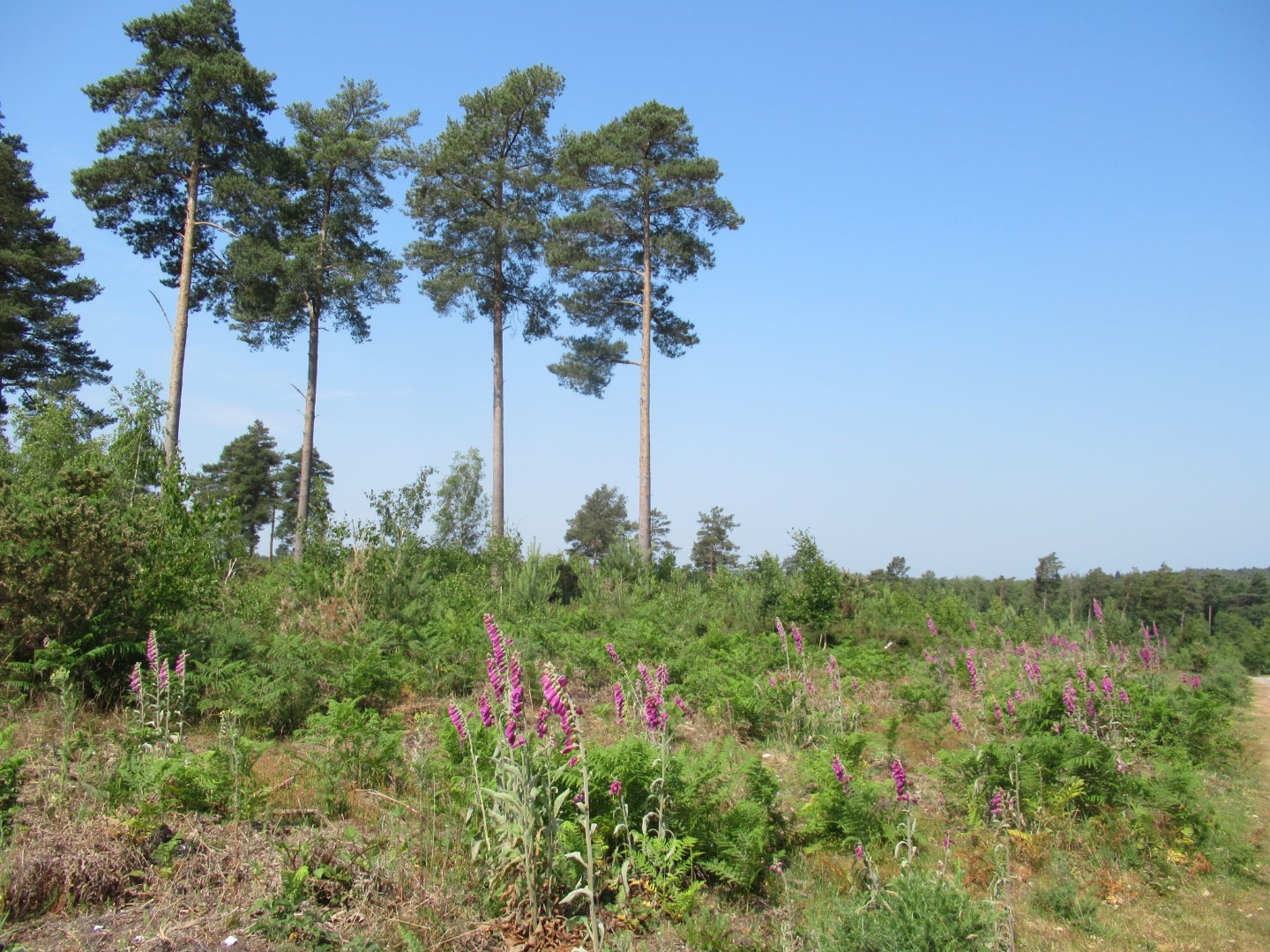
Lavington Common
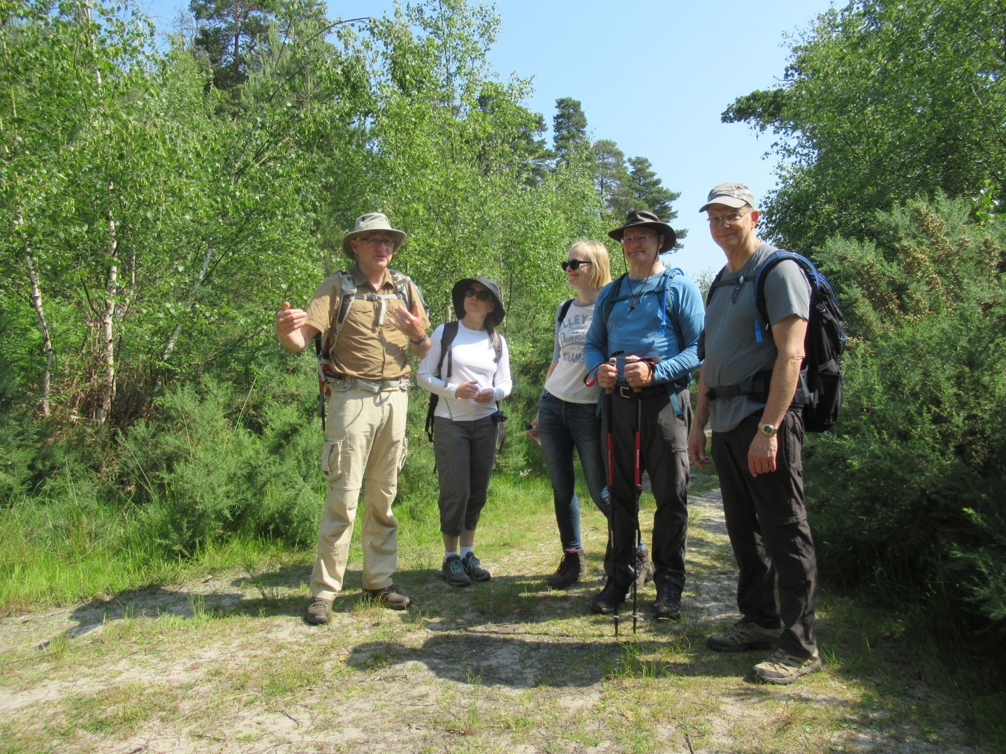
I’m telling you that lizard I stepped over was this big
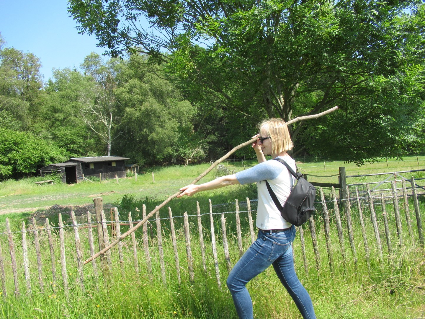
Pole vaulting
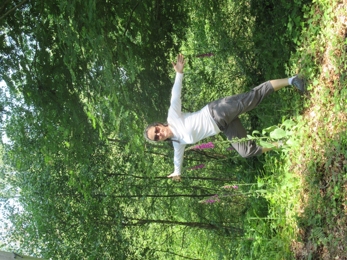
The Lavington Down warrior pose
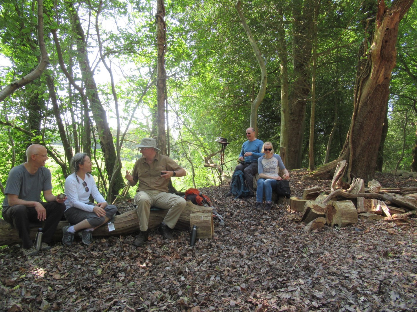
Coffee break
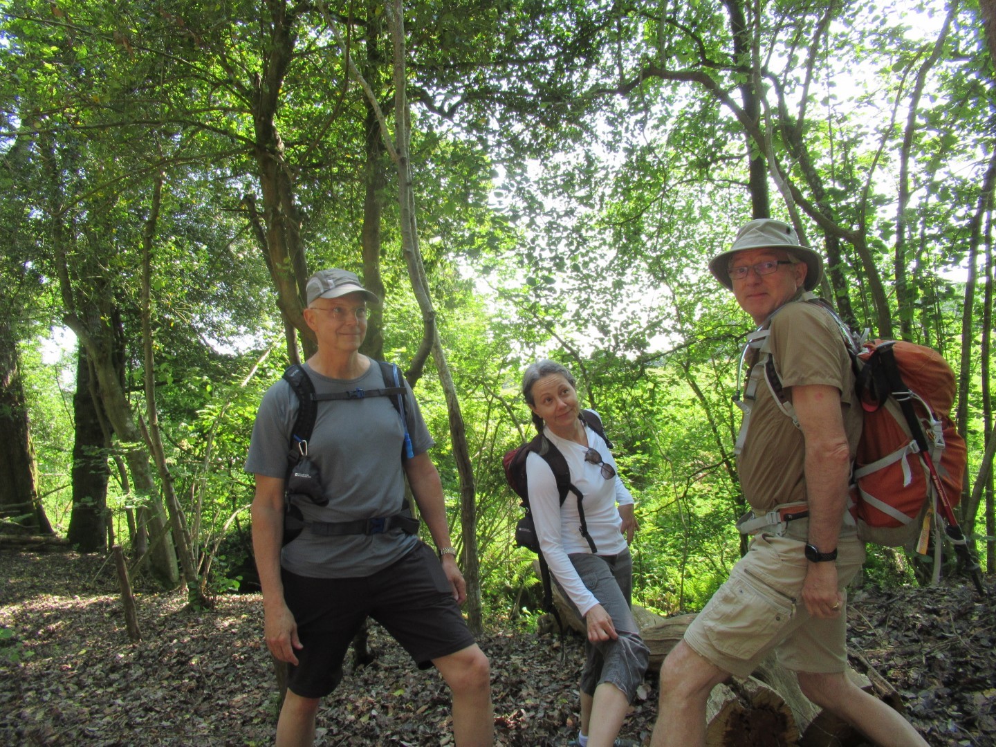
The best leg forward
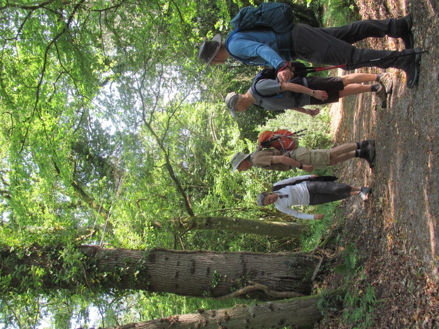
I think that’s what they call a tree
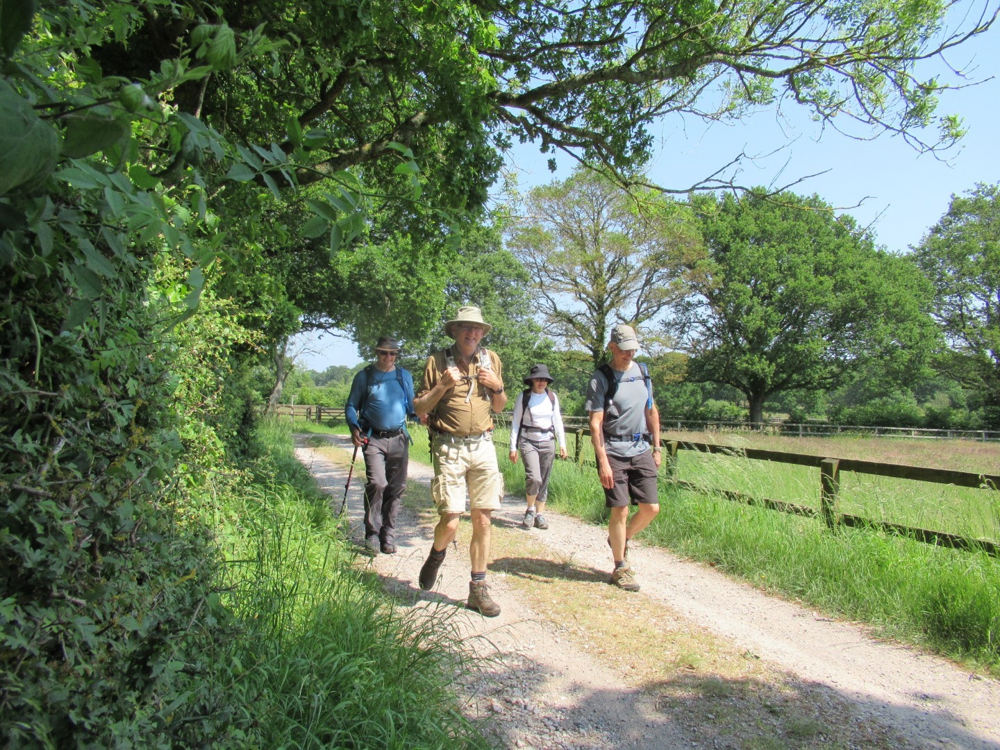
Heading towards the stud
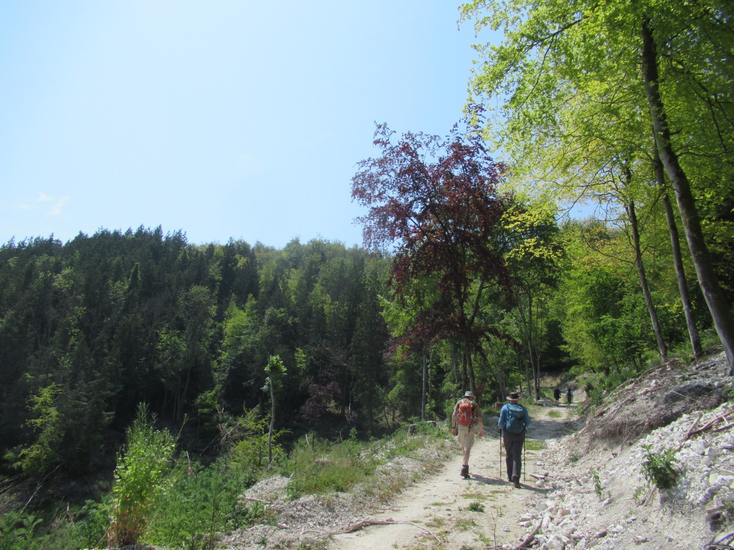
Heading up Woolavington Down
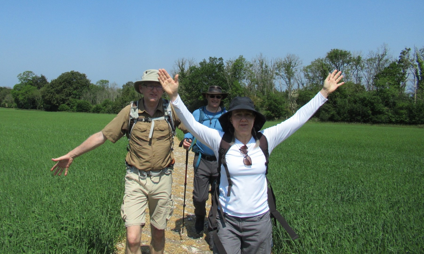
The cure for sausage fingers?
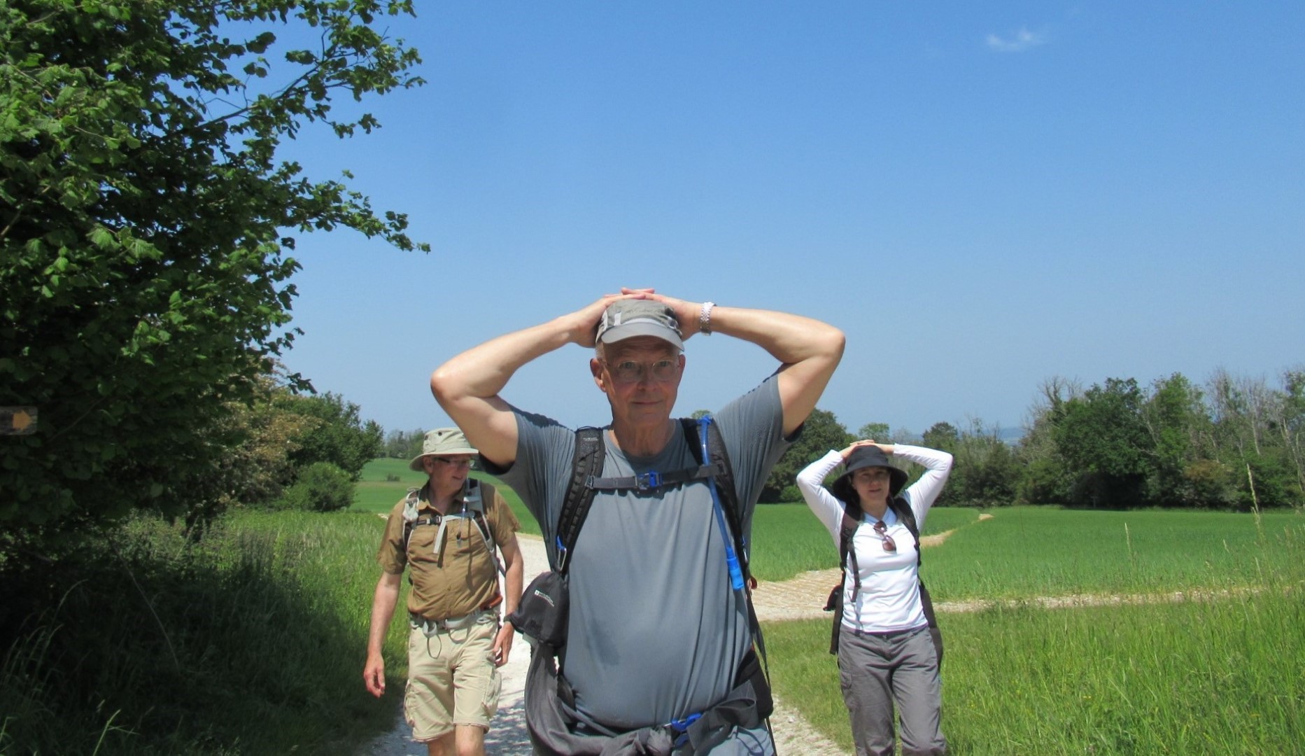
We surrender
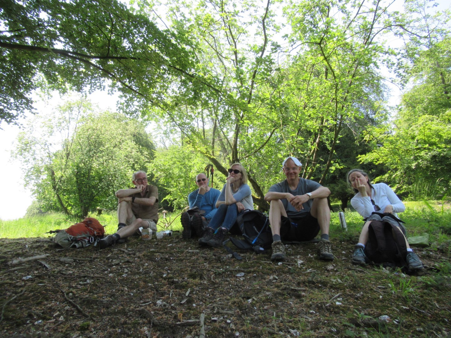
Contemplative lunch
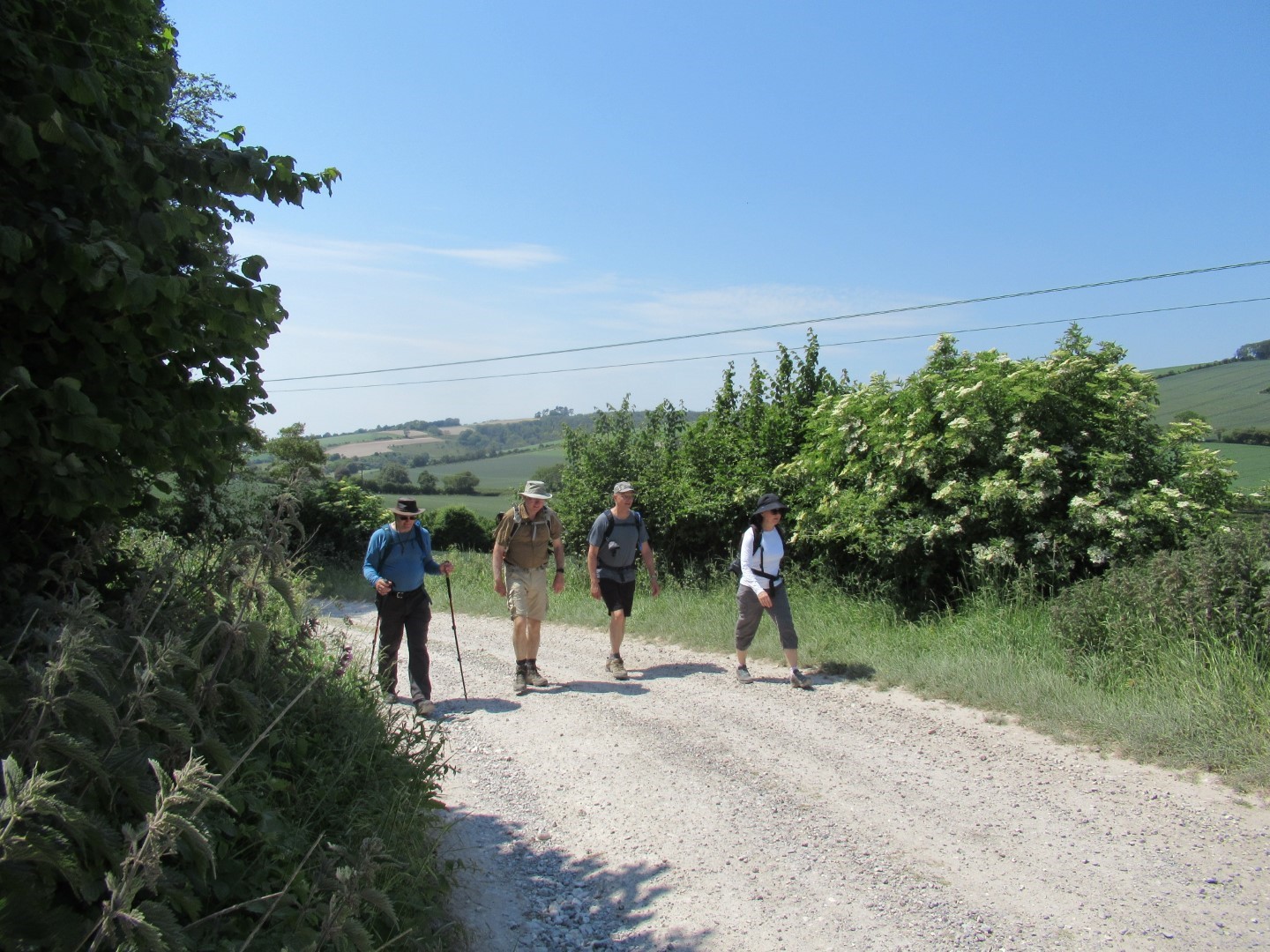
Downhill South Downs Way ahead
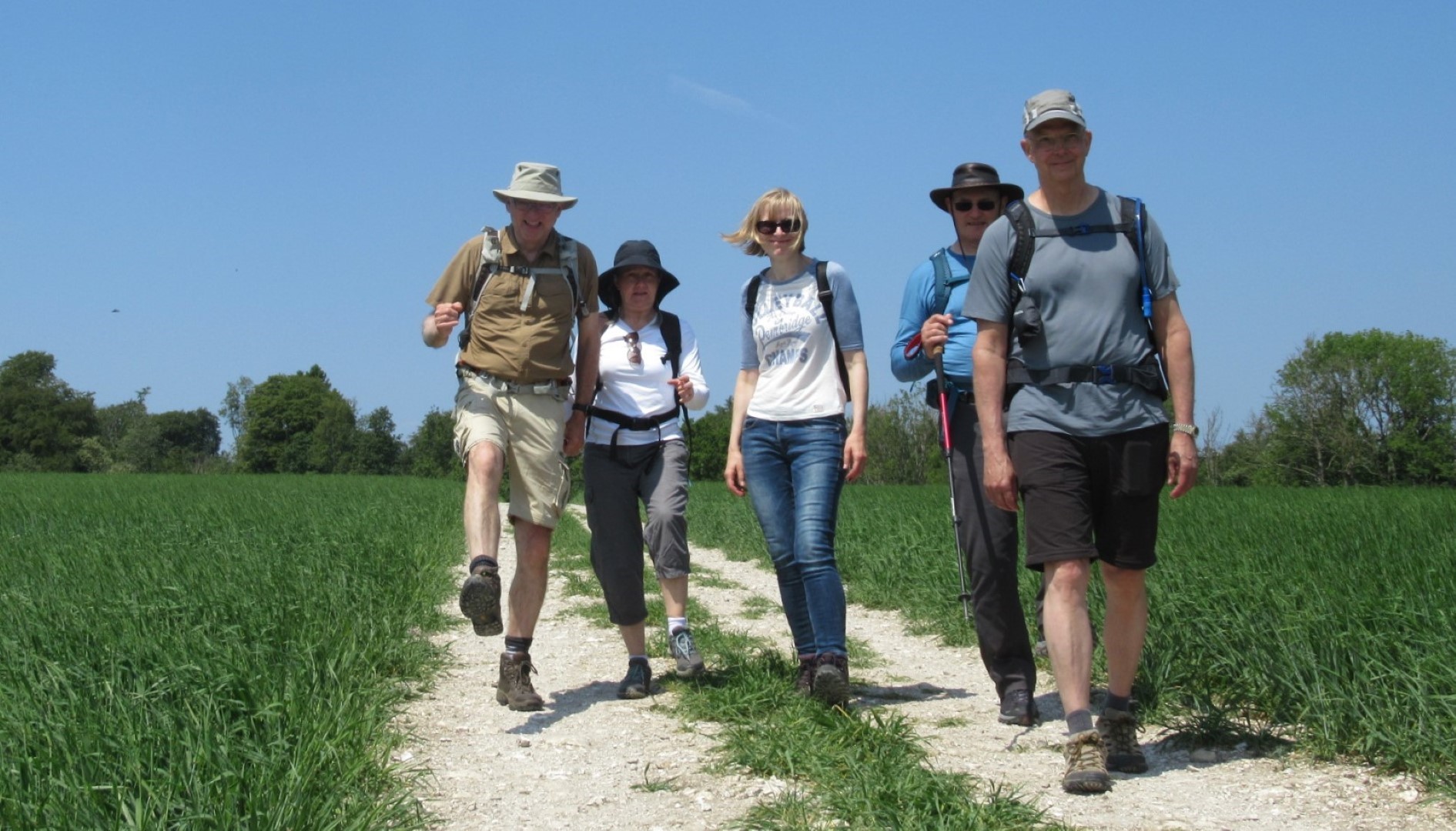
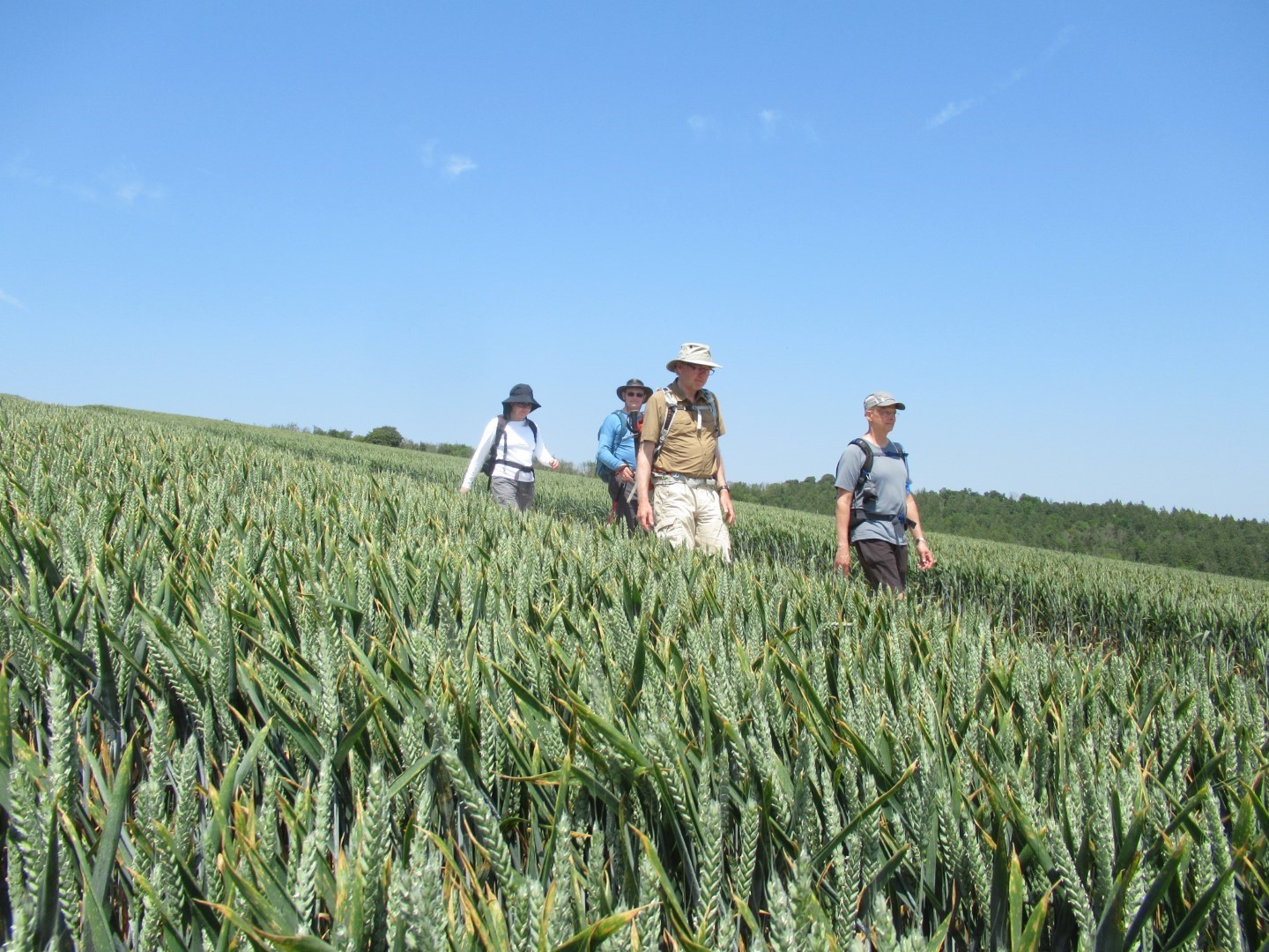
In our stride
Ear, ear
We were going round the bend at this point
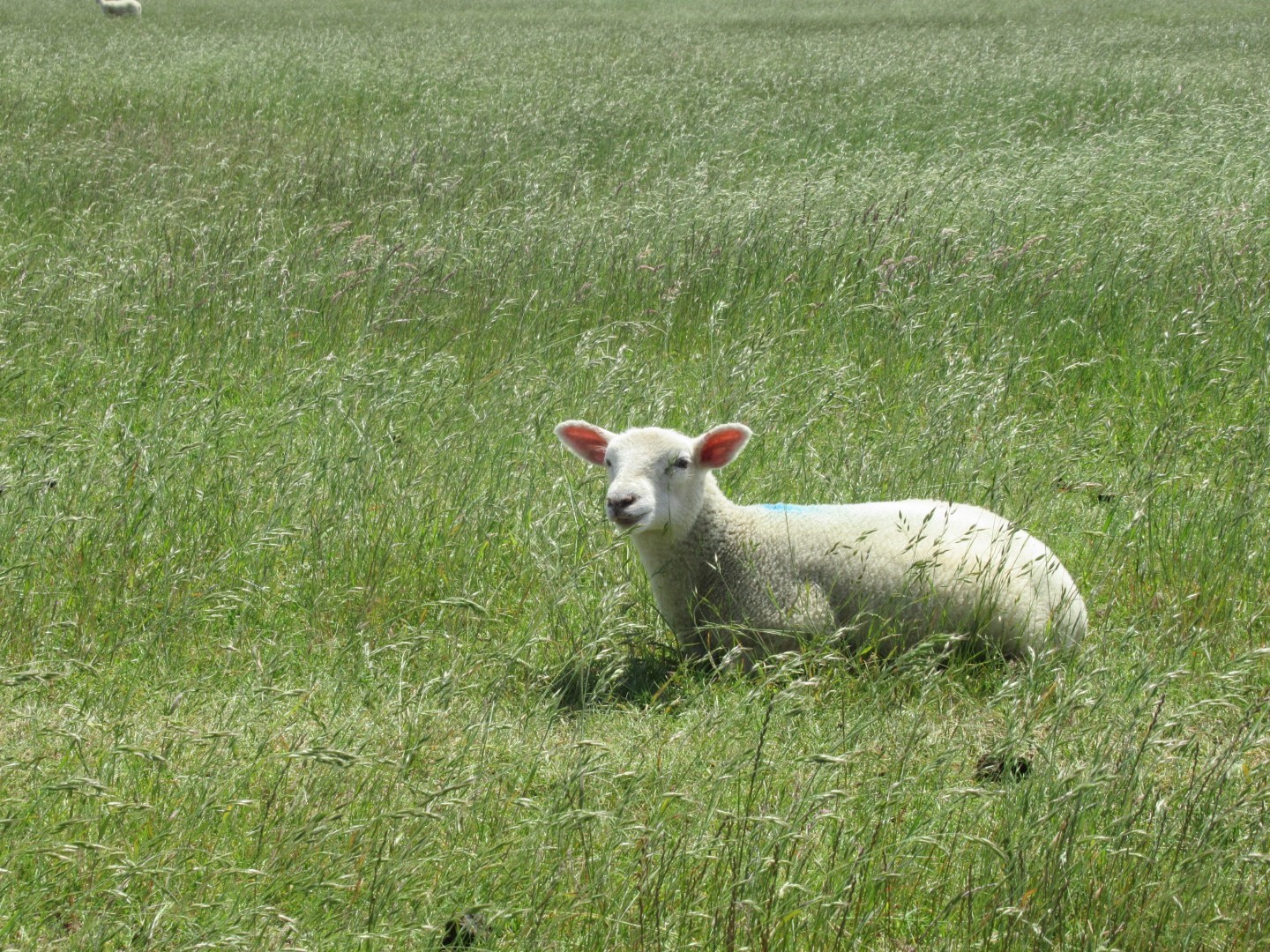
Ooh, those bare legs are so scary!
Almost there
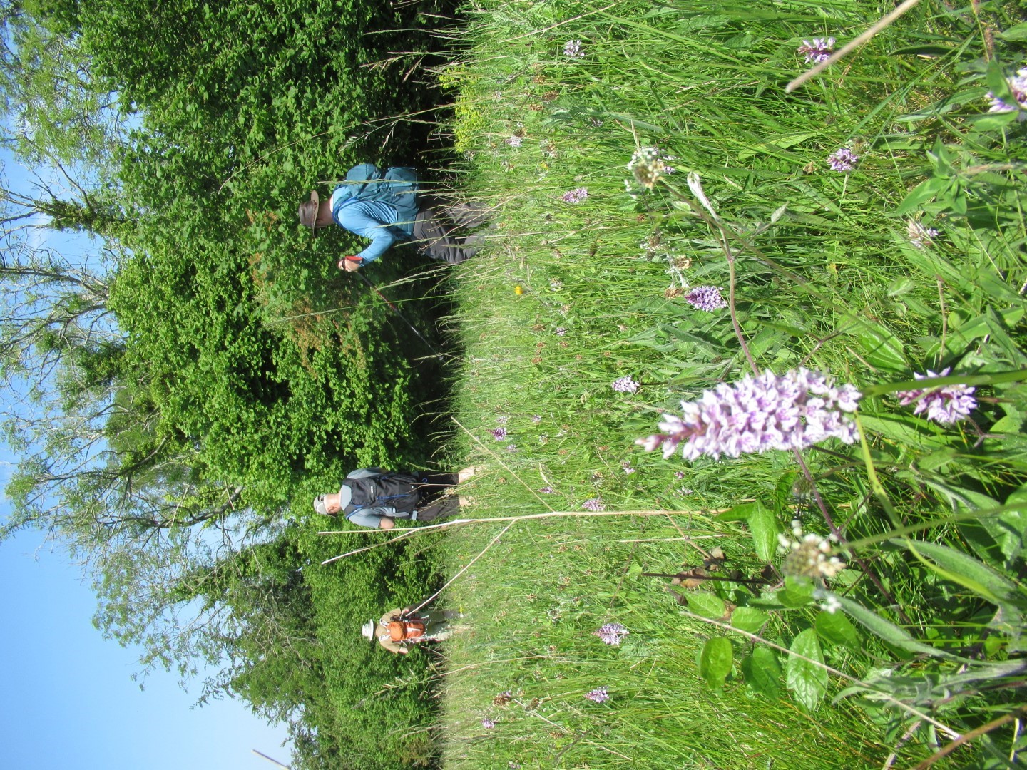
Orchid fields
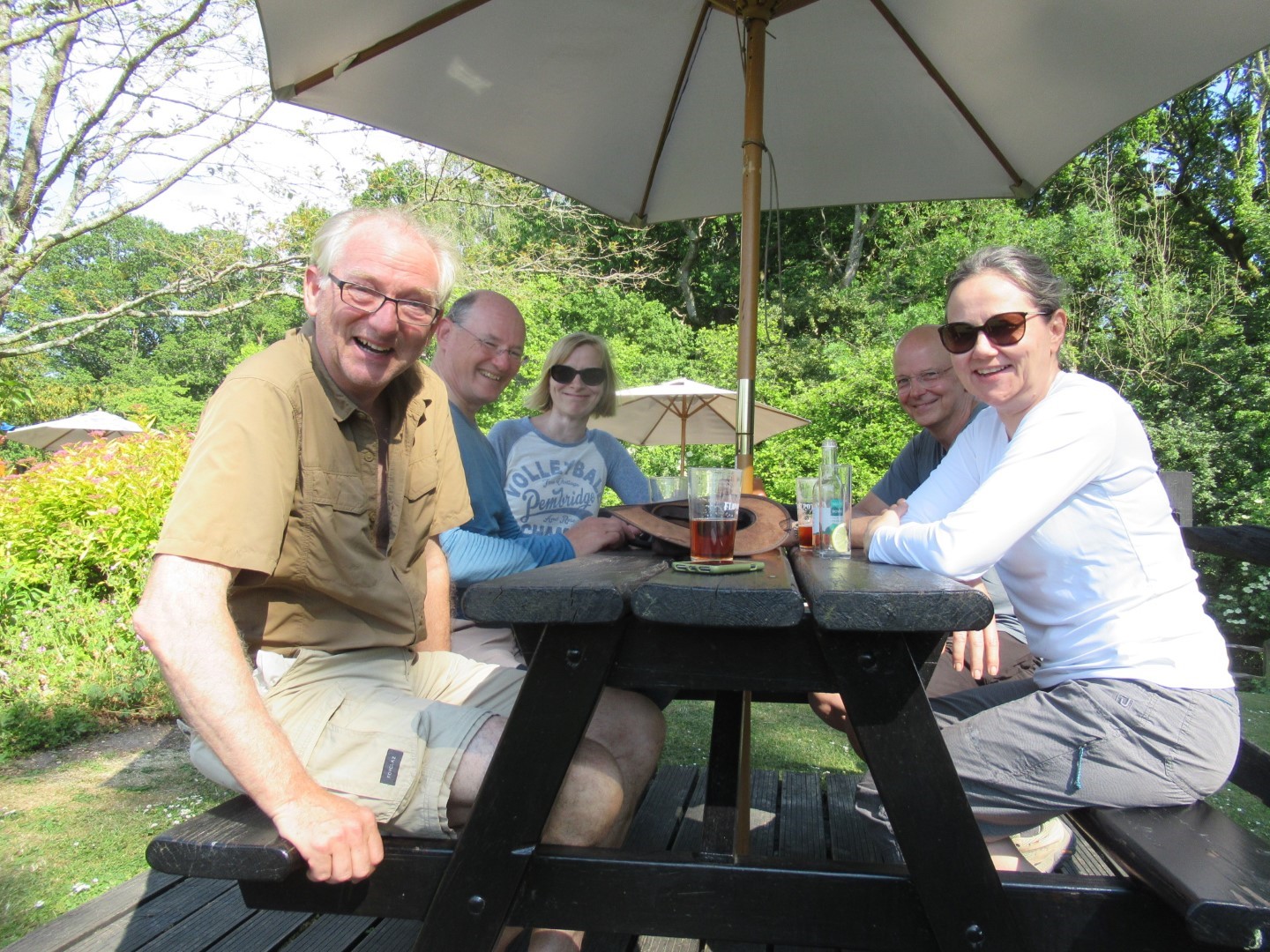
We made it!
Lavant walk on 7th June 2023
Celia and Miguel selected an excellent walk for us. We assembled on Sheepwash Lane in East Lavant, made our way up the road past the church and pub, eventually turning left onto Chalkpit Lane taking the incline at a gentle pace enjoying the sunshine, Spitfire and scenery. The anticipated reward of a field of poppies that we had seen two years ago was not to be as a wheat crop had been planted. At the viewpoint on St Roche’s Hill, some contemplated a dash up and back on the Trundle but common sense prevailed while others availed themselves of liquid refreshments from a mobile café and the remainder plundered their own stock of refreshments and enjoyed the views over Lavant Down and Chichester. Our sporadic rubbish collecting started again, the prize being a discarded Yankee Candle. The gentle descent started on The West Sussex Literary Trail but got steeper before levelling out as we came closer the River Lavant and the Centurian Way where the old railway line ran. An Egret entertained us with a flying display over a herd of cows that were not impressed. The final stretch of the walk through woodland allowed us to cool off and the cool, clear River Lavant with its streaming reeds could have been the inspiration behind Millais’ Pre-Raphaelite ‘Ophelia. We clambered back into our trusty steads back to Midhurst for a well earned lunch at the Royal Oak to refuel after our 4.7 mile walk.
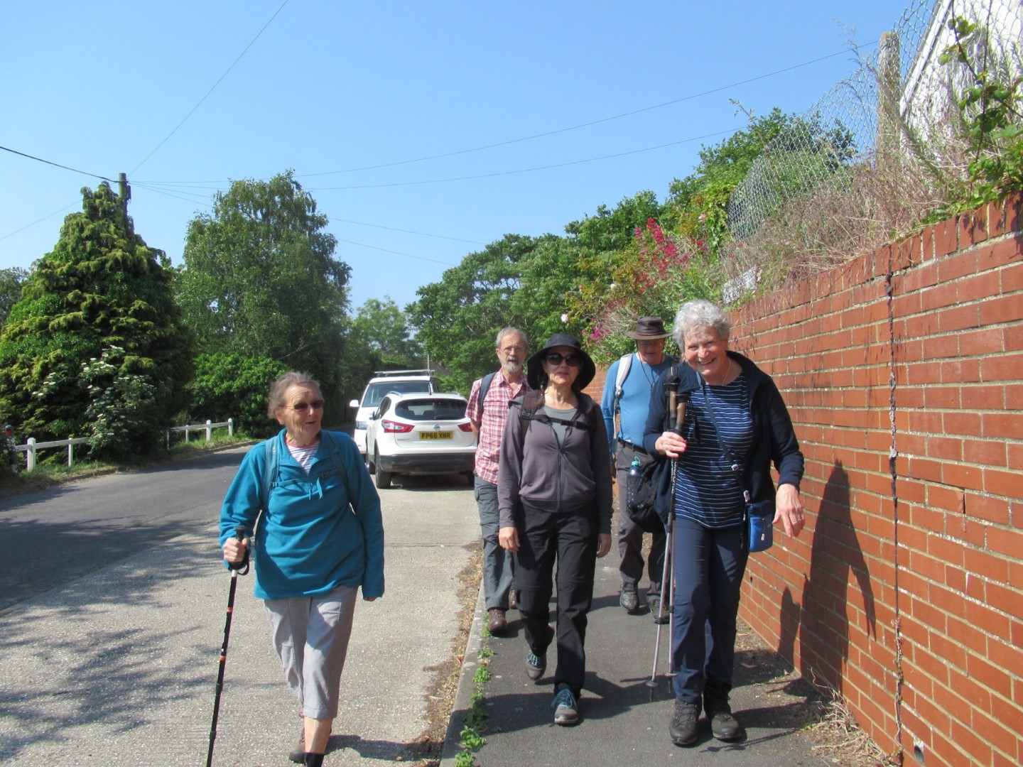
We were strung out even at the start.
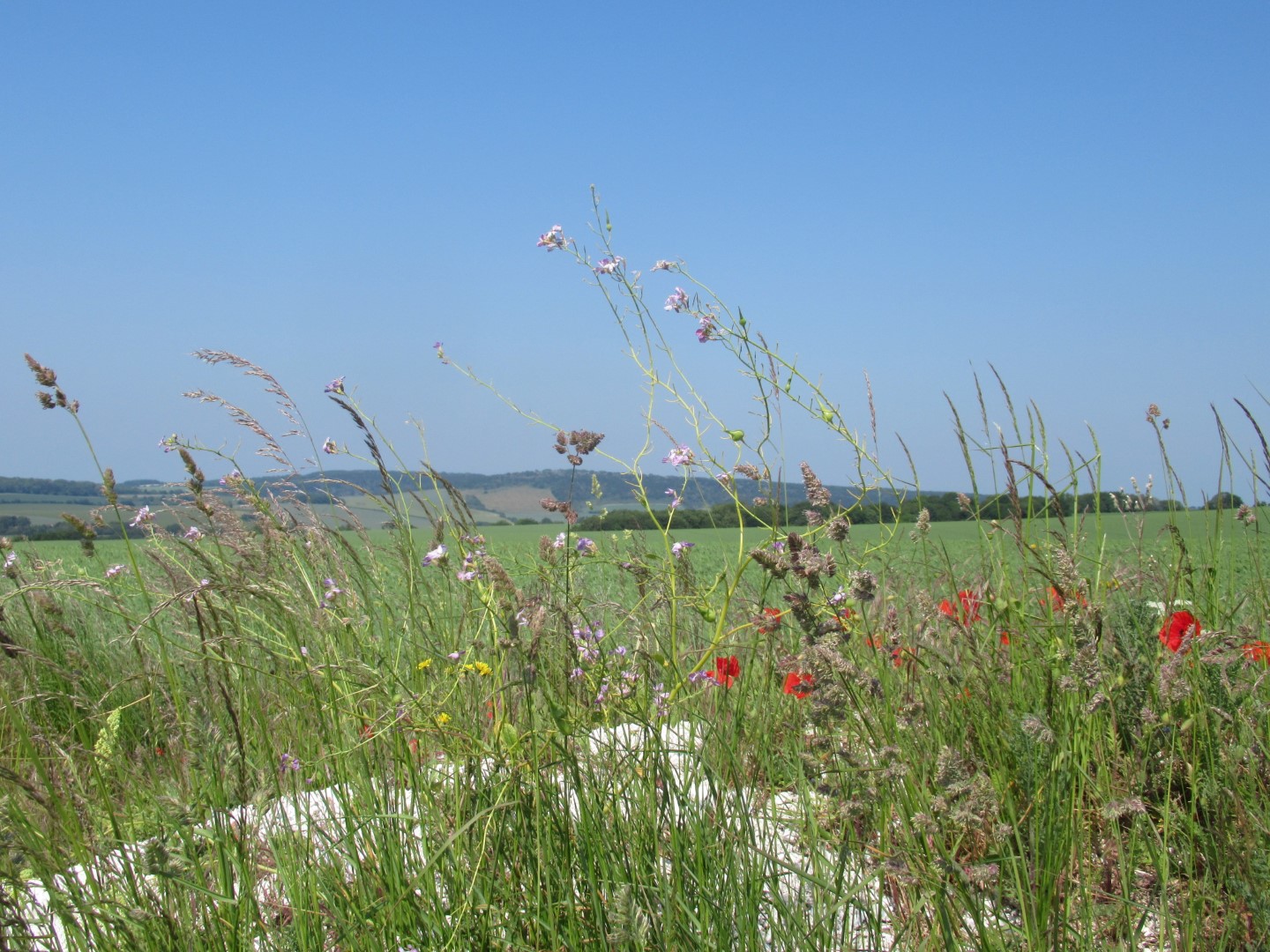
The token poppies
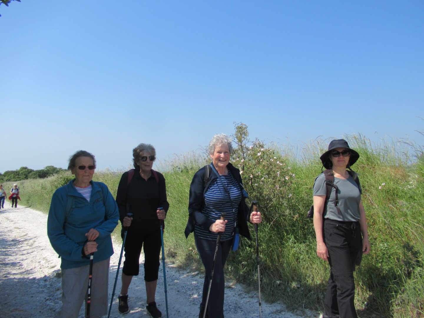
‘Life at a Top Peoples Health Farm’ in Style
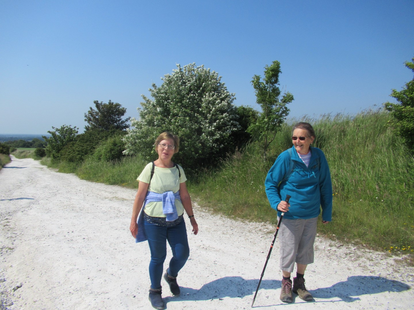
An additional walk up the Trundle? Yeah, right!
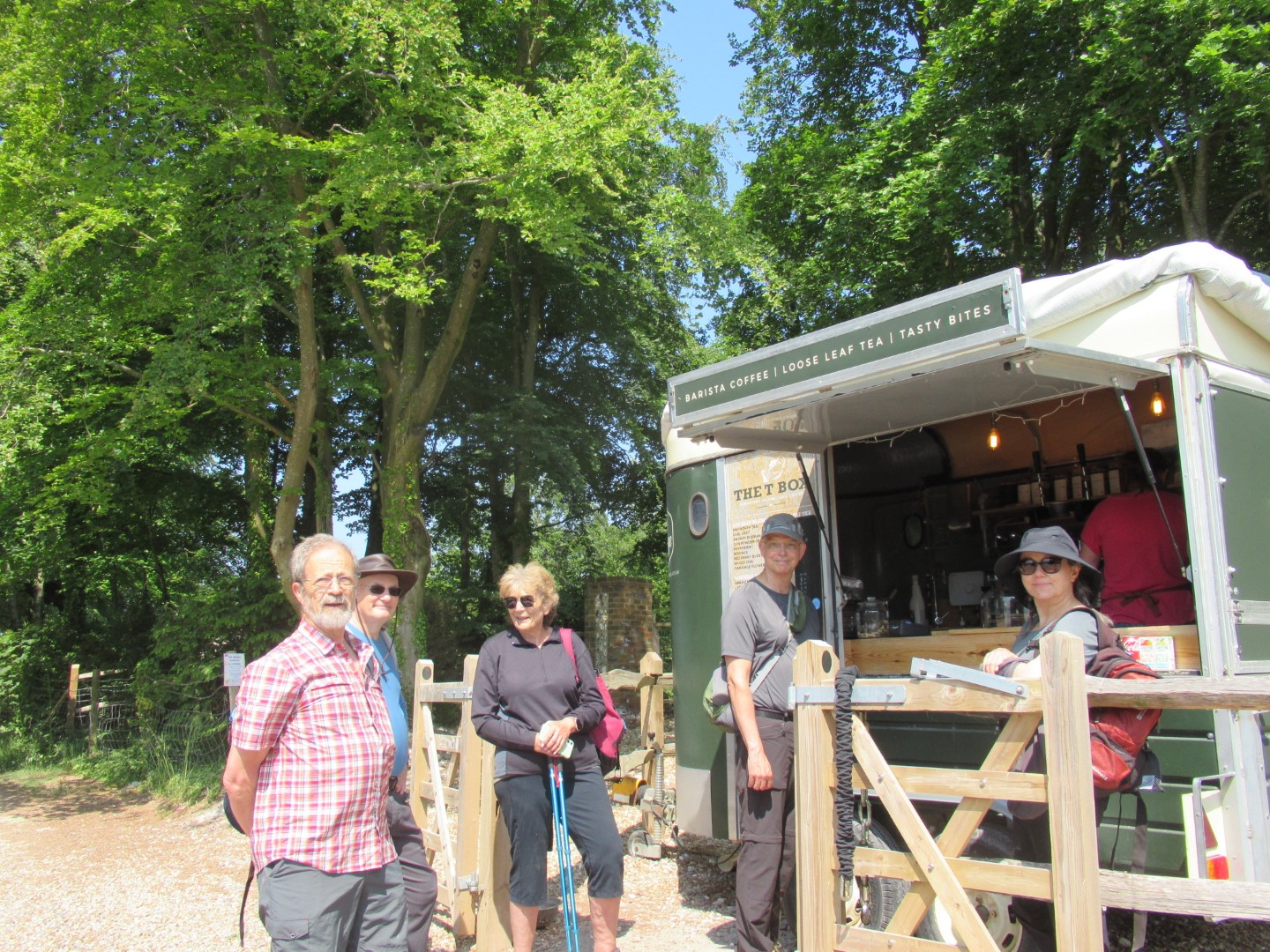
Coffee or Trundle? What do you think?
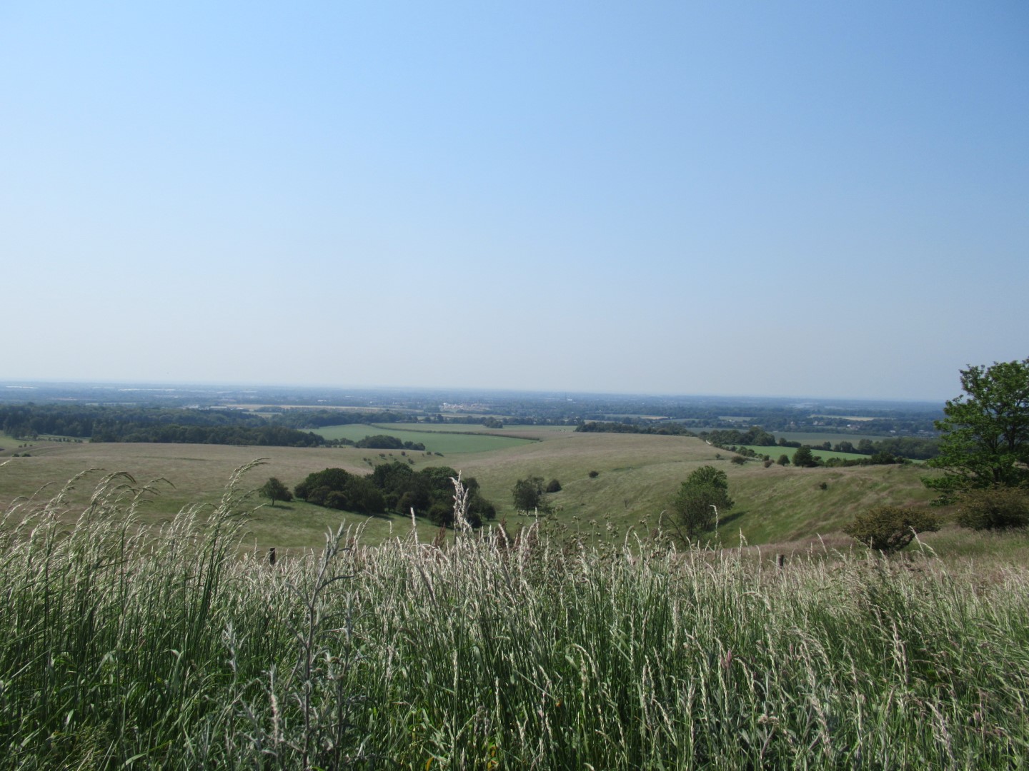
View down Lavant Down and Chichester
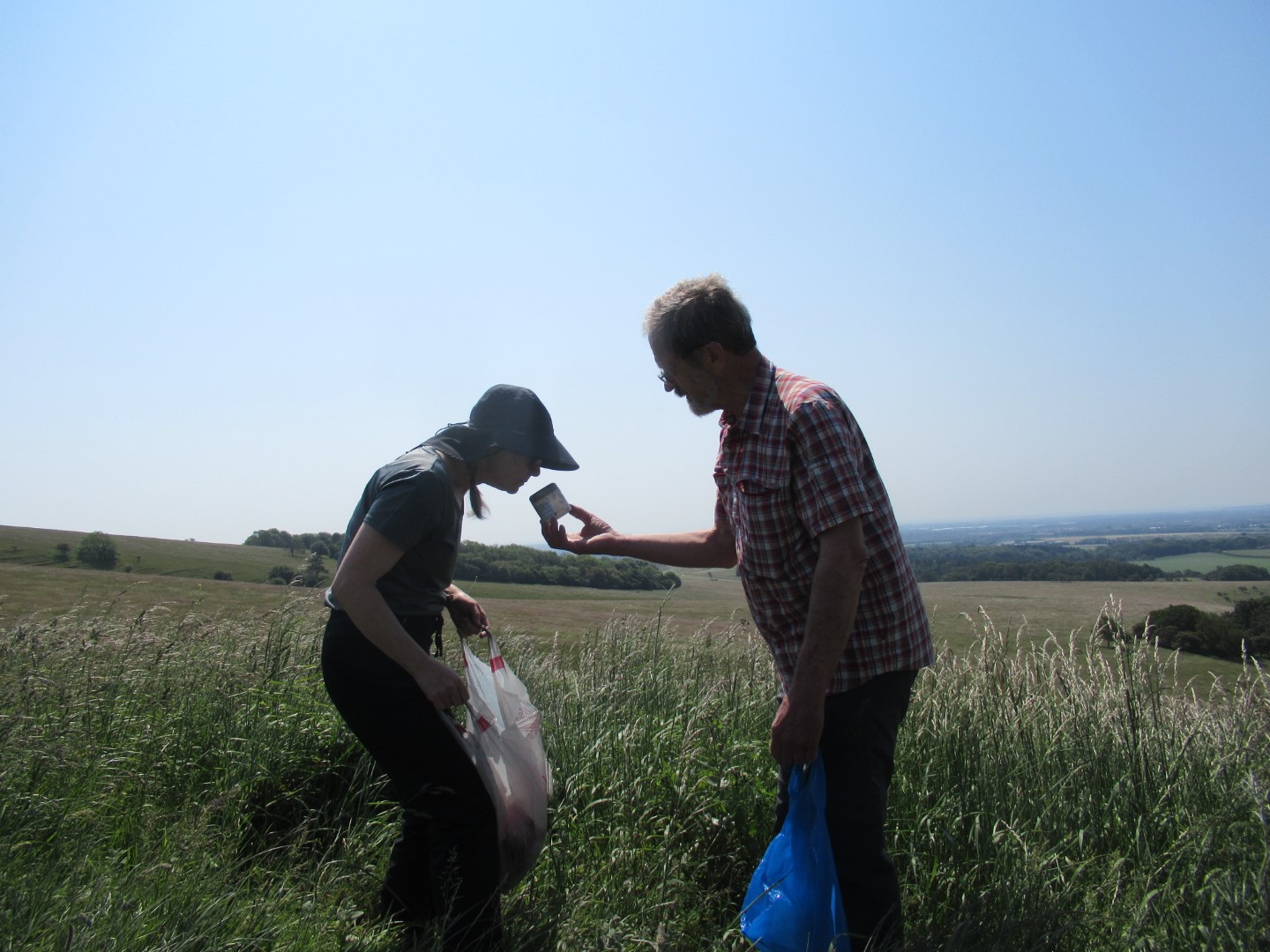
Yep, it’s a Yankee Candle, vanilla, tuna and chocolate chip if I’m not mistaken.
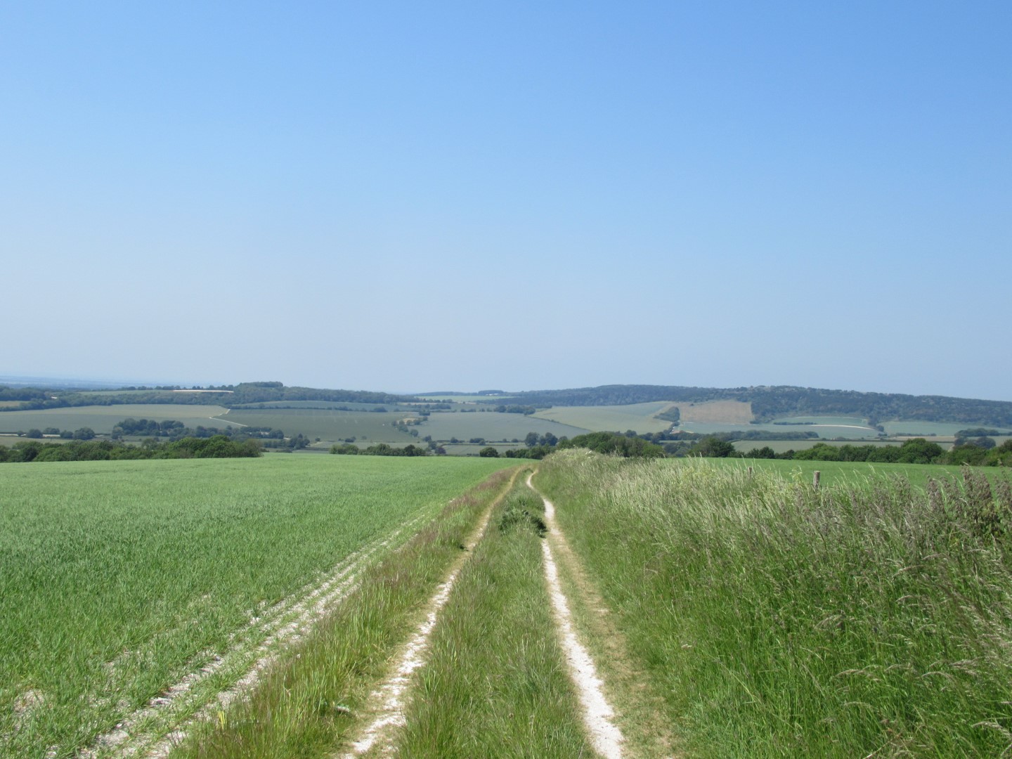
The straight and narrow with Kingley Vale across the valley
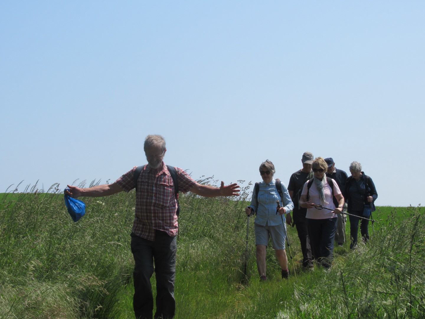
If I flap a bit faster I can take off
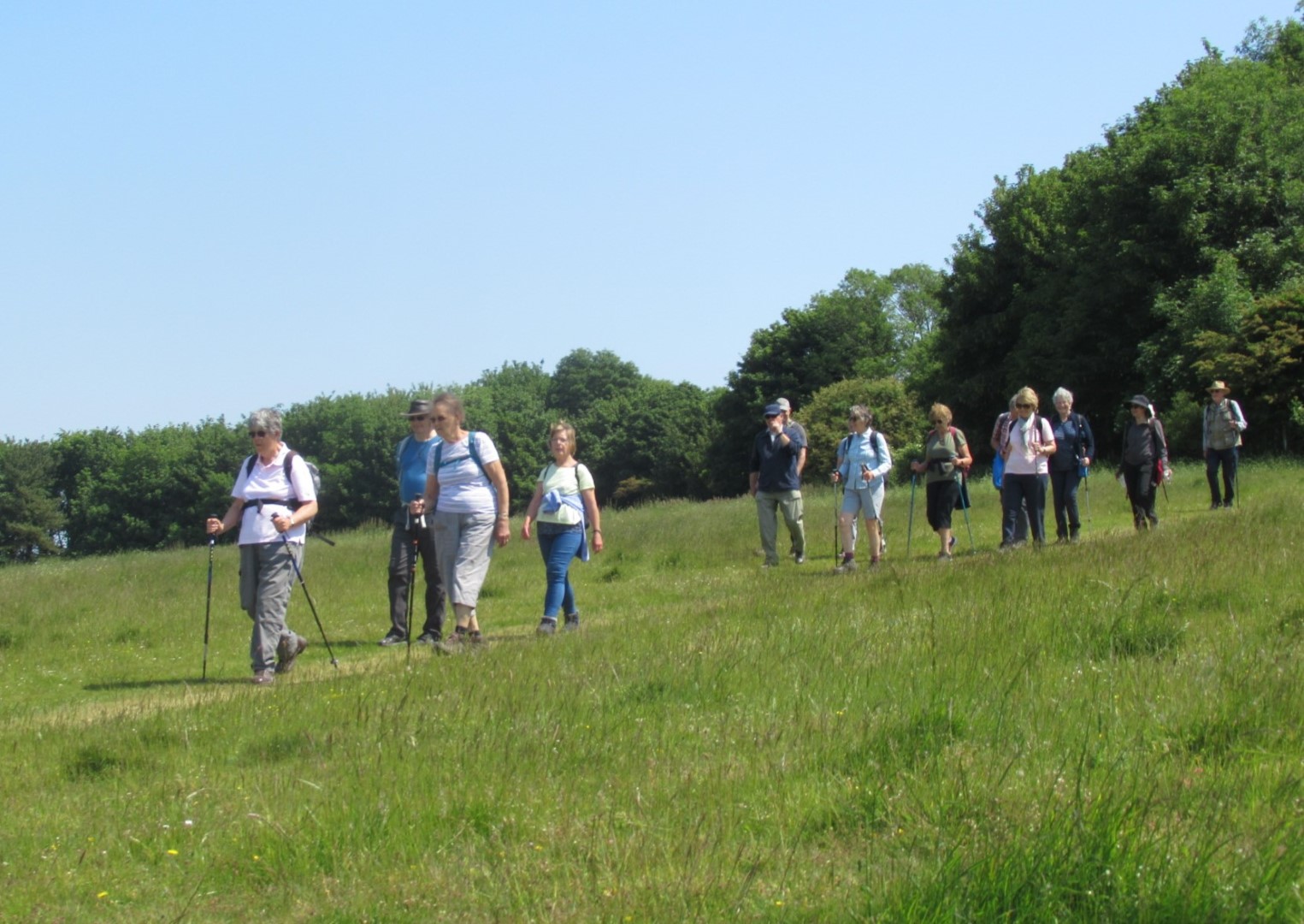
Strolling down the hill
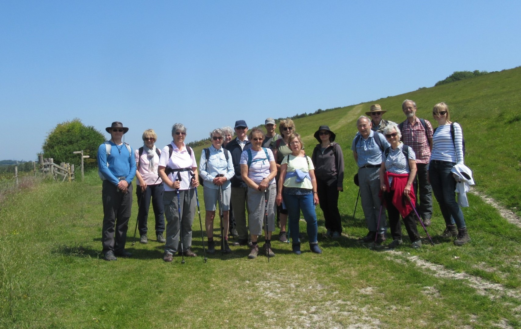
Bunched together for our team photo
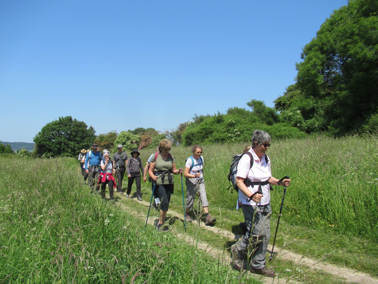
Celia is the leader of the pack
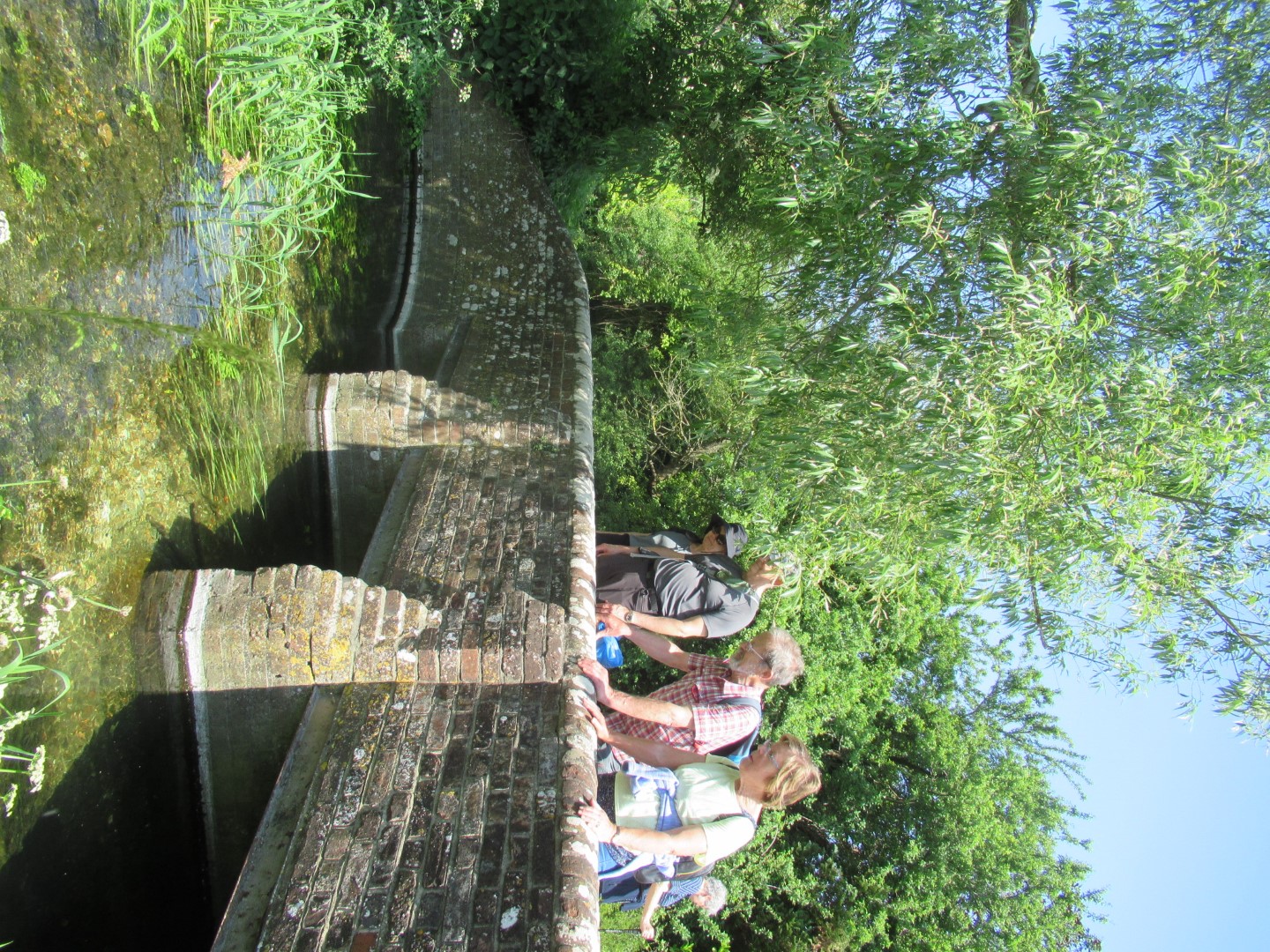
Can anyone see Ophelia?
.png)
The route
Compton walk 31st May 2023
We parked in Compton and rallied in front of The Coach and Horses for our 4.5 mile meander through the countryside. The route took us by Compton Farm, across the field to the woods at East Hanger, enjoying the shade before reaching Bevis’s Thumb long barrow. Tim grew in stature as he regaled us with a colourful rendition of the tales of the giant Bevis and his large dog. We walked the road, dodging vehicles before turning off across fields at Apple Down in the direction of Up Marden. Our coffee break was at St Michael’s Church in Up Marden, a 13th century church with the remnants of 15th century wall paintings, the best being of St Christopher carrying baby Jesus. The boundaries of coincidence were stretched when one of our walkers met another resting walker who was an ex work colleague and the visitors book had homages to the J.L.Carr book, A Month in the Country. After the break we retraced steps down the hill, turned into more barley fields then turning into Grevitts Copse, across another field before the steep climb up to Locksash Farm where we spotted a Meercat and woman footballer, their movements were a bit wooden though. The path north gave rolling views of West Marden and Compton from East Hanger before we passed the school and made our way into the newly refurbished Coach and Horses for an excellent lunch.
And they’re off
Through barley field with South Downs behind
The tale of Giant Bevis and his big dog with a big tail
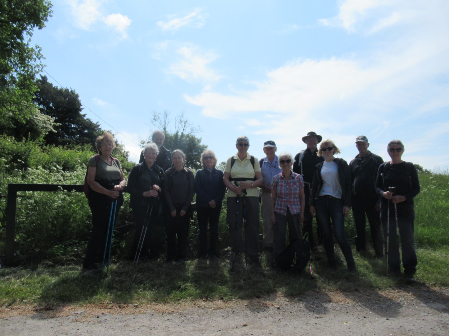
All the walkers in front of Bevis’s Thumb long barrow
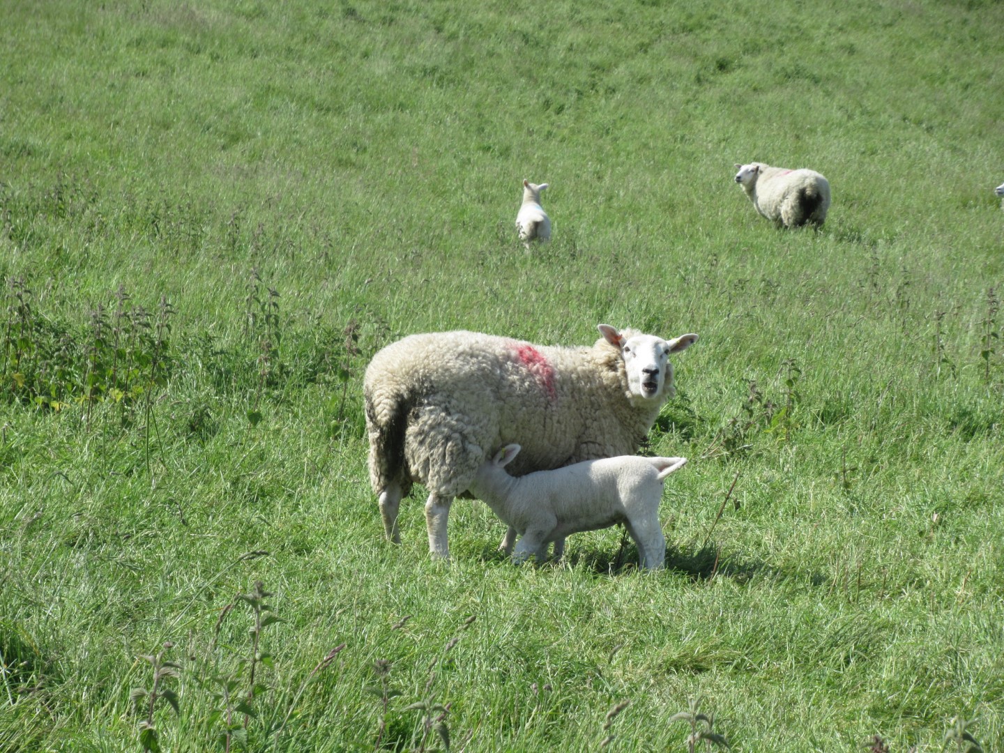
Ewe, that hurt!
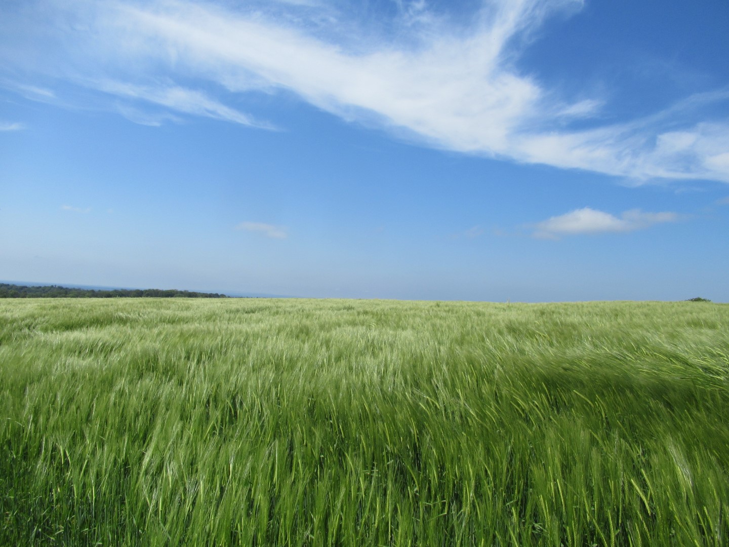
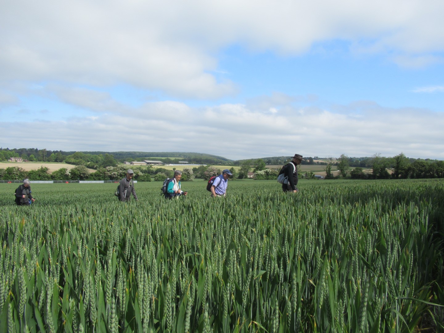
A barley seawave under a blue sky
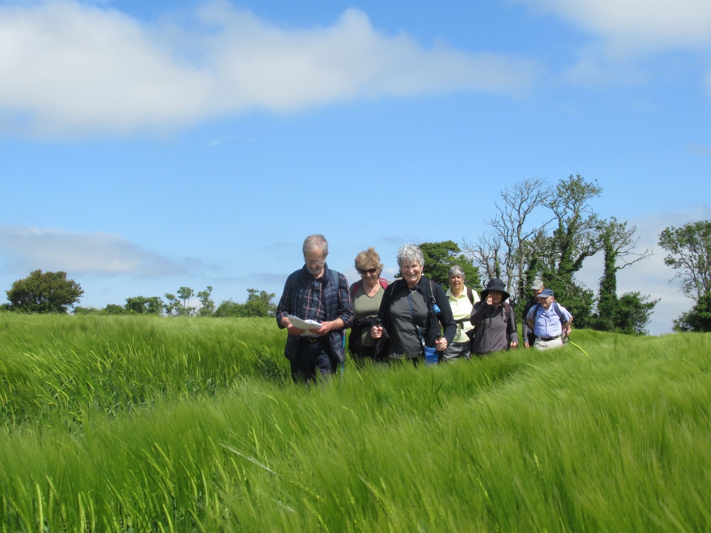
Waist high in barley
A relaxed coffee stop St Michael’s,
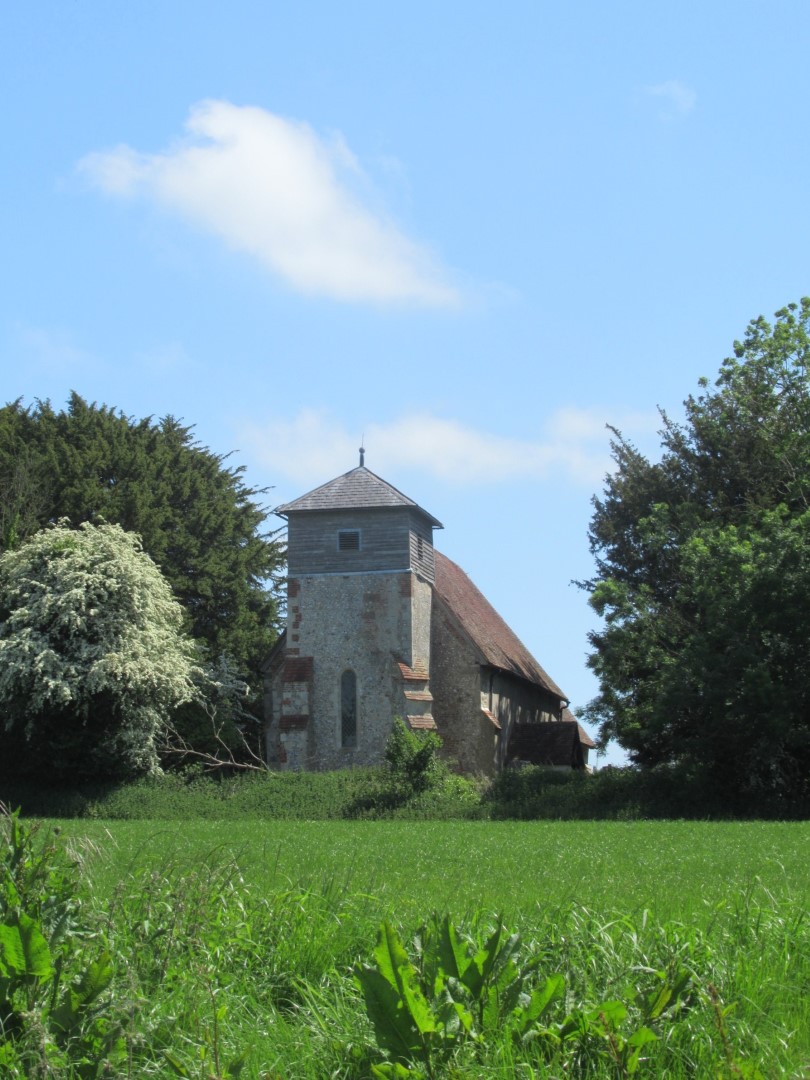
Up Marden
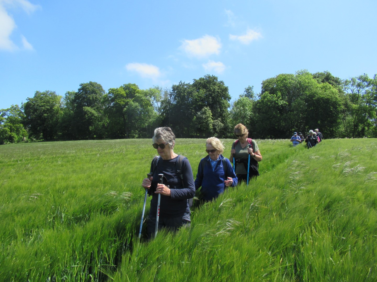
Follow the green barley road
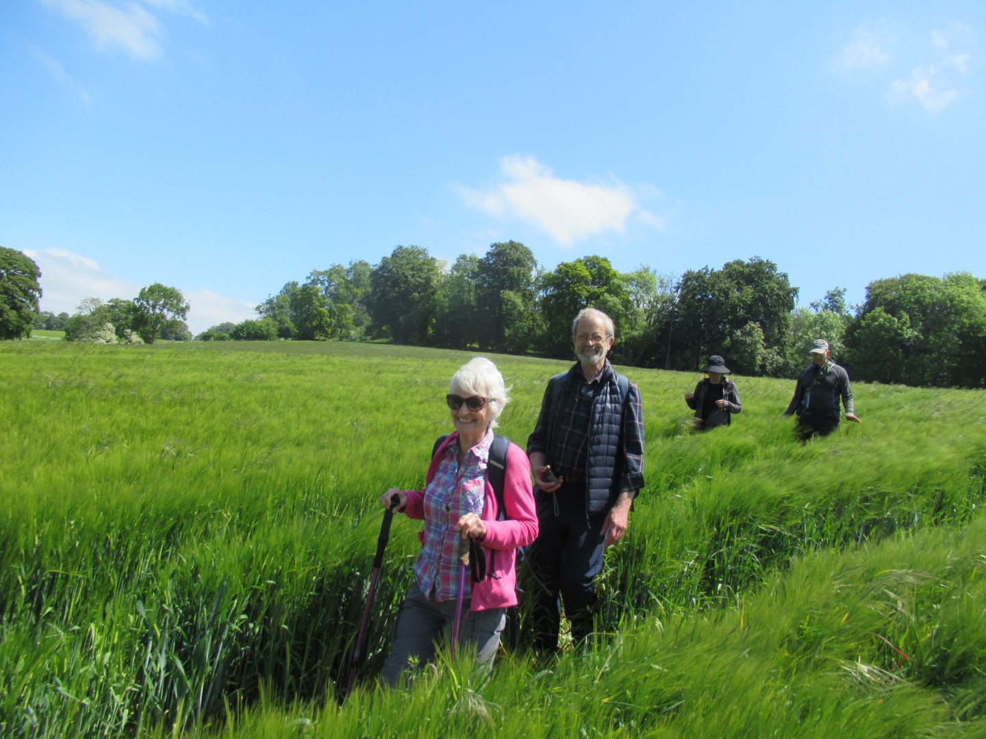
We’re smiling now because we can see the hill ahead
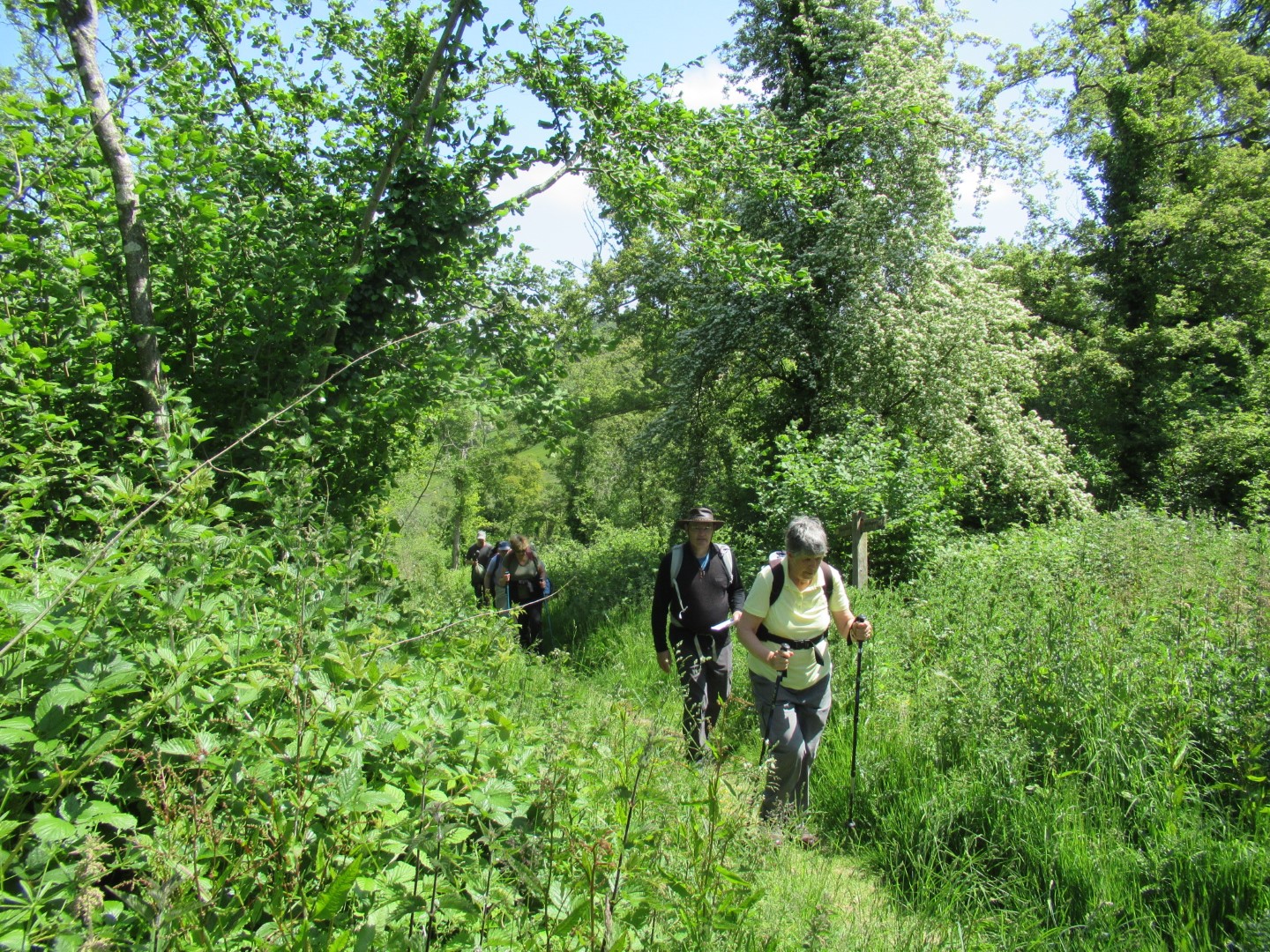
Climbing the hill, not so funny now.
Mr Orlov on lookout
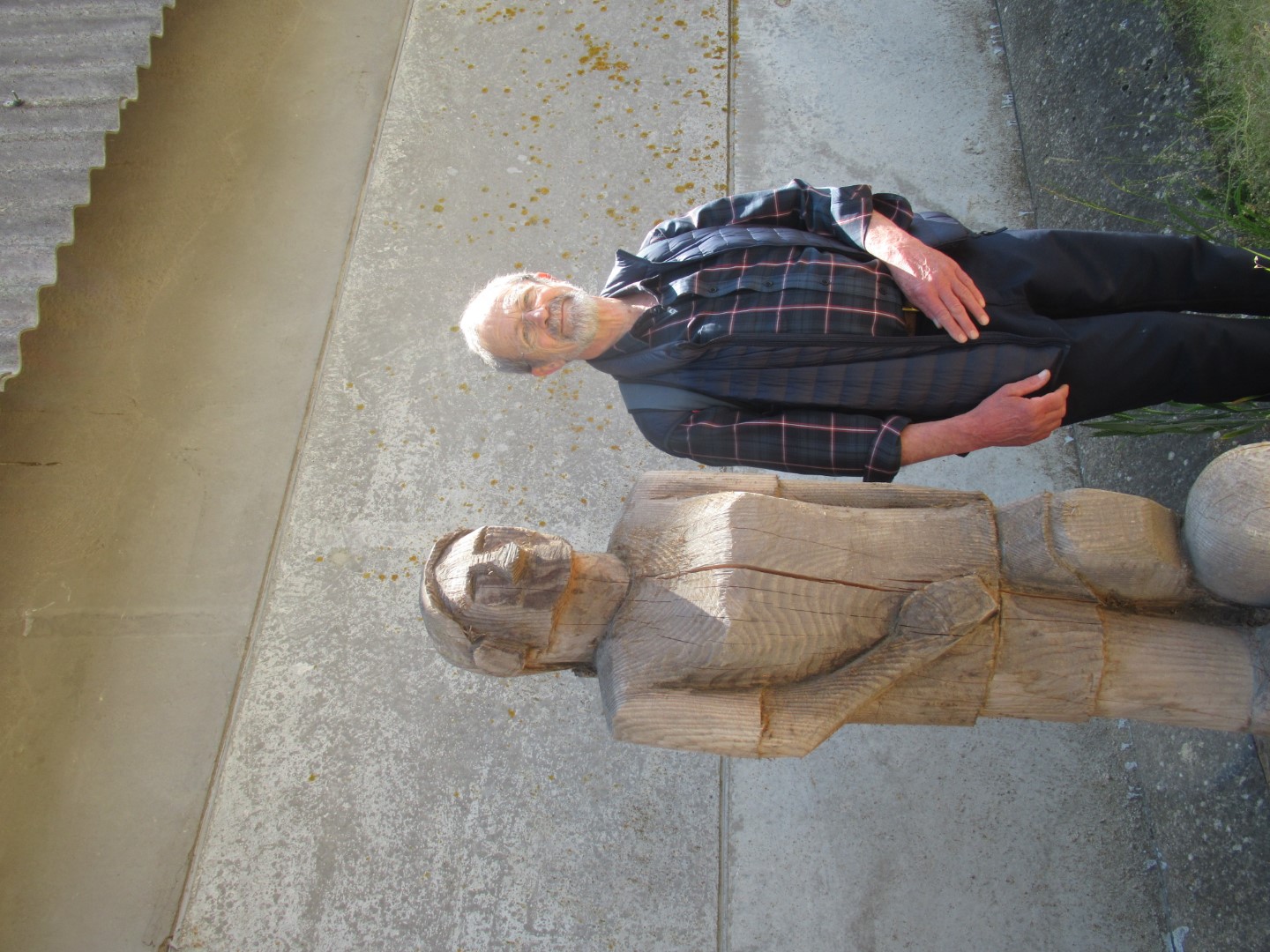
Wooden players
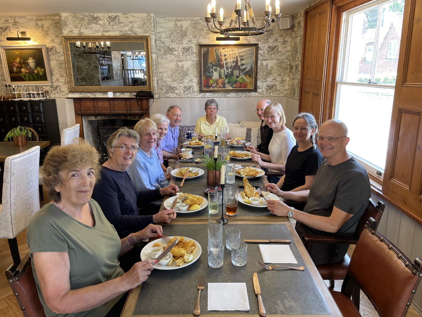
Lunch at The Coach and Horses
.png)
About 4.1/2 miles
Duncton walk on 24th May 2023
Jennifer organised the 5.5 mile walk, corralling us at The Badgers Inn in Duncton, shepherding us up to the viewpoint over Fryan’s Hanger and then cat herding us to start the walk after admiring the view. We walked west through the woods at the edge of Woolavington Down overlooking Seaford College until we reached the Southdowns Way. Turning off the Way shortly down into the woodland of Tegleaze where we tried our hand at cutting a tree trunk across the path. The serious gardeners demonstrated the worth of their chosen implements to clear the way of intruding plant growth onto the paths. Our morning coffee break was a dispersed affair, each person seeking out their comfortable seat for the break. The return leg took us through woodland and fields at Waltham Down and the edge of Heath Hanger before more woodland at Crown Teglaze where we crossed the Southdowns Way again, by ancient burial mounds. We descended through Stickingspit Bottom past the working Chalk pit and back to the viewing point. There was an orderly scramble back to The Badgers Inn where a delicious lunch was consumed outside in the glorious sunshine.
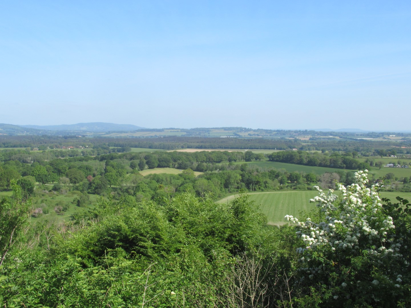
The view over Fryan’s Hanger
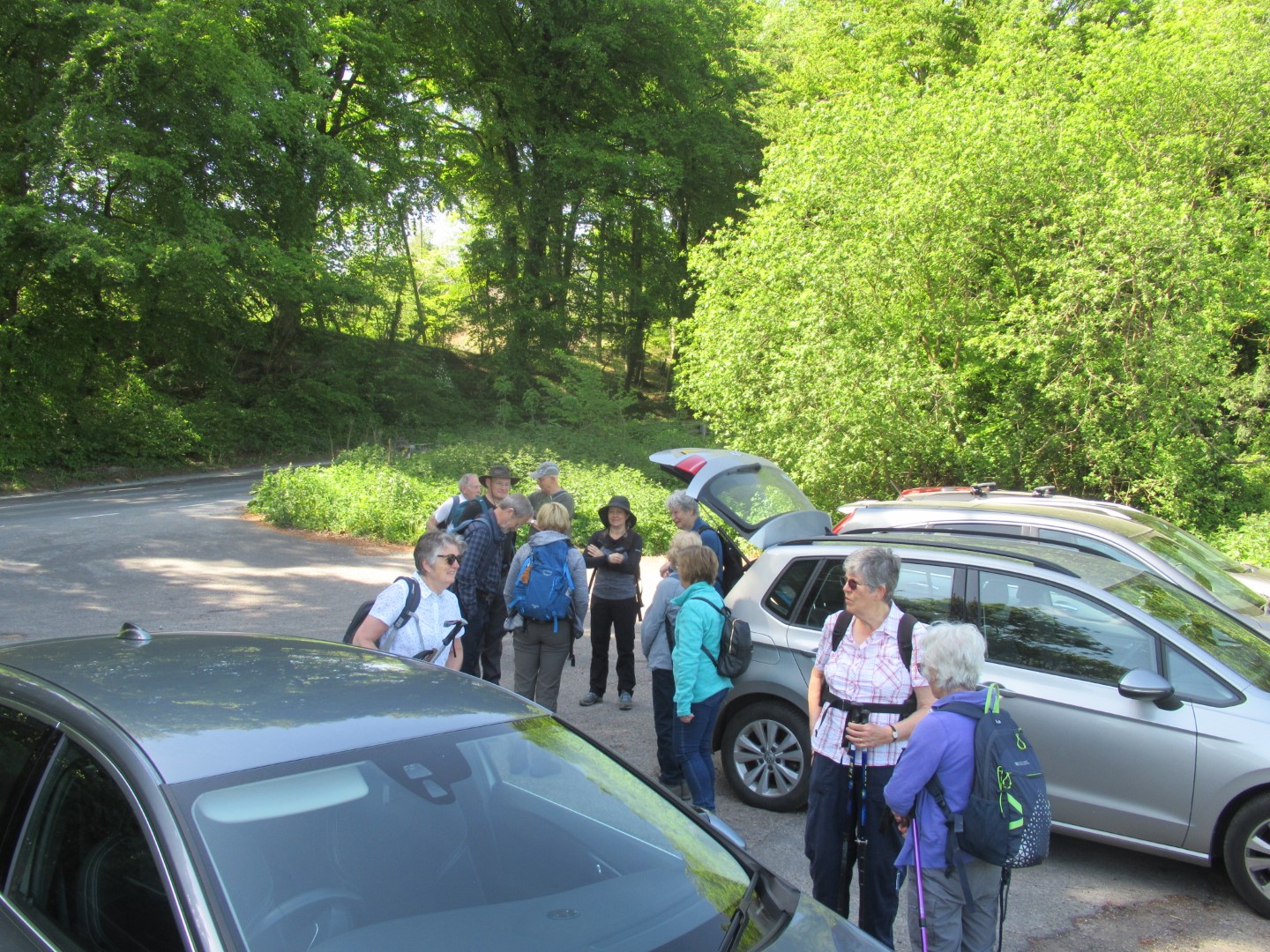
Cat herding in action
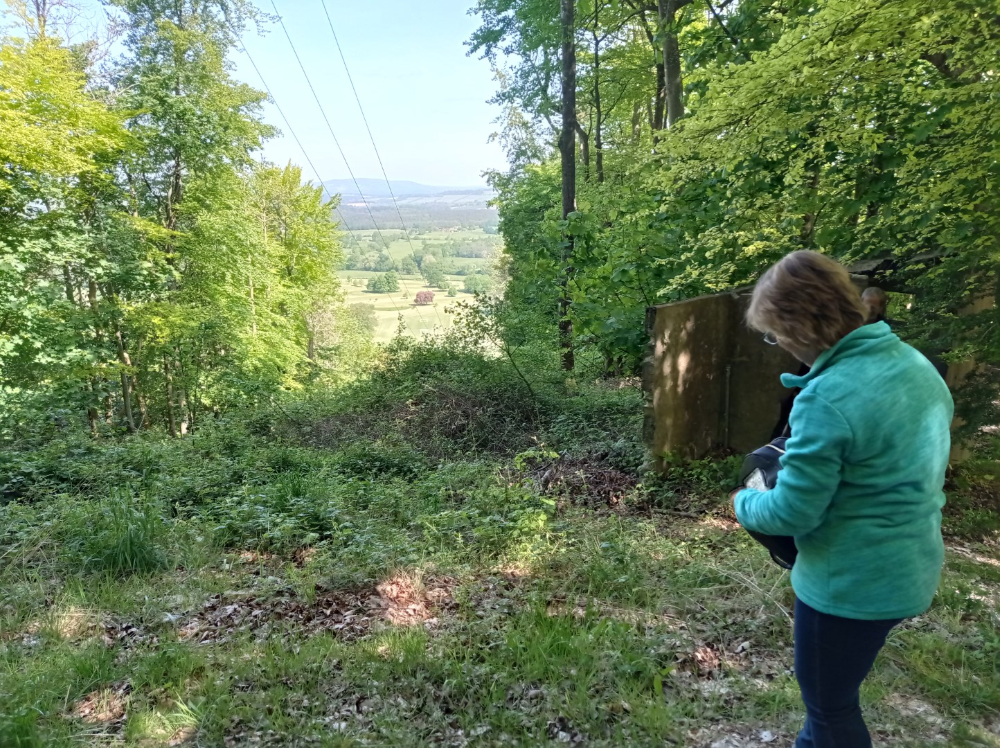
Another view over Fryan's Hanger, but that's unfortunately not a ski lift.
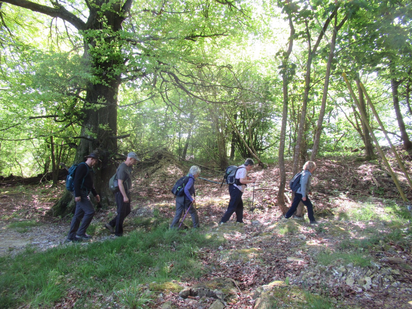
Hi Ho, Hi Ho, it's off to walk we go……
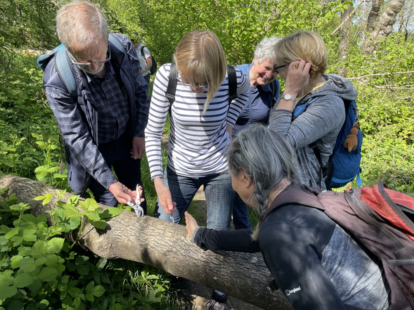
Look, it’s much better when you use a hand saw
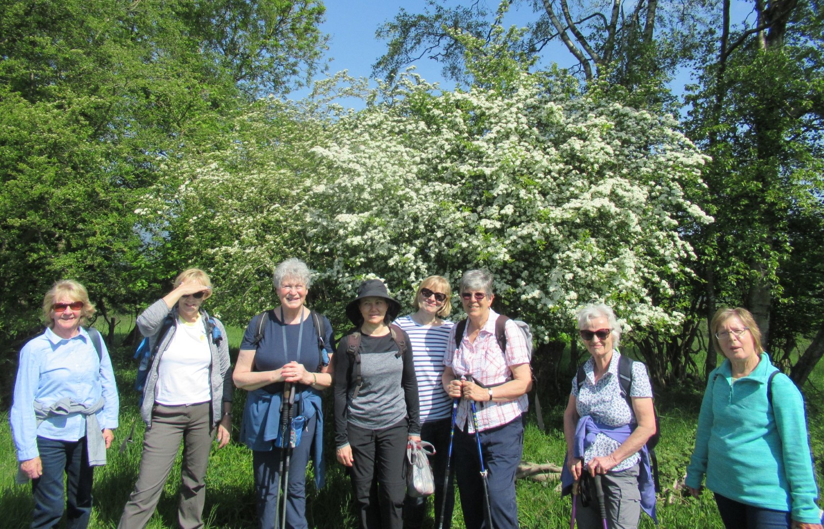
Spring flowers
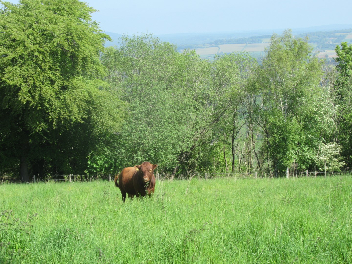
Lone cow on Woolavington Down
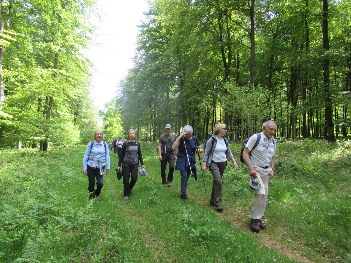
Striding purposefully
The joy of sunshine and the fresh greenery of spring
Revitalised after the coffee break
Walking amongst the chalk and flint in the fields
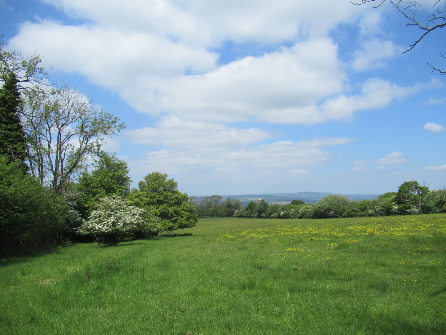
Great views
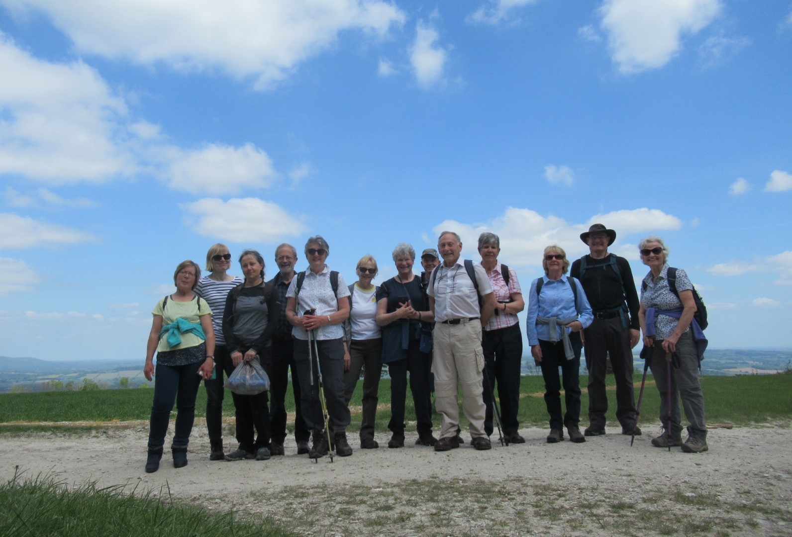
The cats, herded together on the South Downs Way
.png)
The route
Rogate walk on 17th May 2023
Seventeen walkers met on Wednesday morning at The Jolly Drovers pub in beautiful sunny weather. Isabel's group of six set off first, following the Sussex Border Path, which is 136 miles long and follows the Sussex border as it meets Hampshire, Surrey and Kent and finishes in Rye in East Sussex. We only managed a very short part of the path and turned just before reaching Durleighmarsh Farm, where there is a farm shop, a pick your own area and a very good cafe, but we were carrying our own refreshments, so carried on passing large fields growing asparagus, which is sold commercially and also in some of our local shops. We enjoyed the lovely views over the Downs and walked up the drive to Rogate Lodge, where we found a comfortable wall to have our coffee break. Suitably refreshed, we made our way uphill through the trees at the edge of Rogate Common, eventually crossing over a road to Tullecombe and then onto Combe Hill. We paused here to view the cycle runs, which go down really scary jumps. We decided it was not for us and made our way back to the Jolly Drovers for lunch, where we joined Tim's group.
Tim led the rest of the group, who enjoyed a more leisurely amble down the Sussex Border Path but took a short cut past Carrolls Lodge and onto Tipsall where we managed to find a few perches for a coffee stop. From there we headed north back to the pub past Rogate Common and Long Bottom. This walk was somewhat shorter at around 3.1/4 miles, whilst Isabel's group walked around 5.1/2. I think we all appreciated the beautiful trees, especially being grateful at times for the shade.
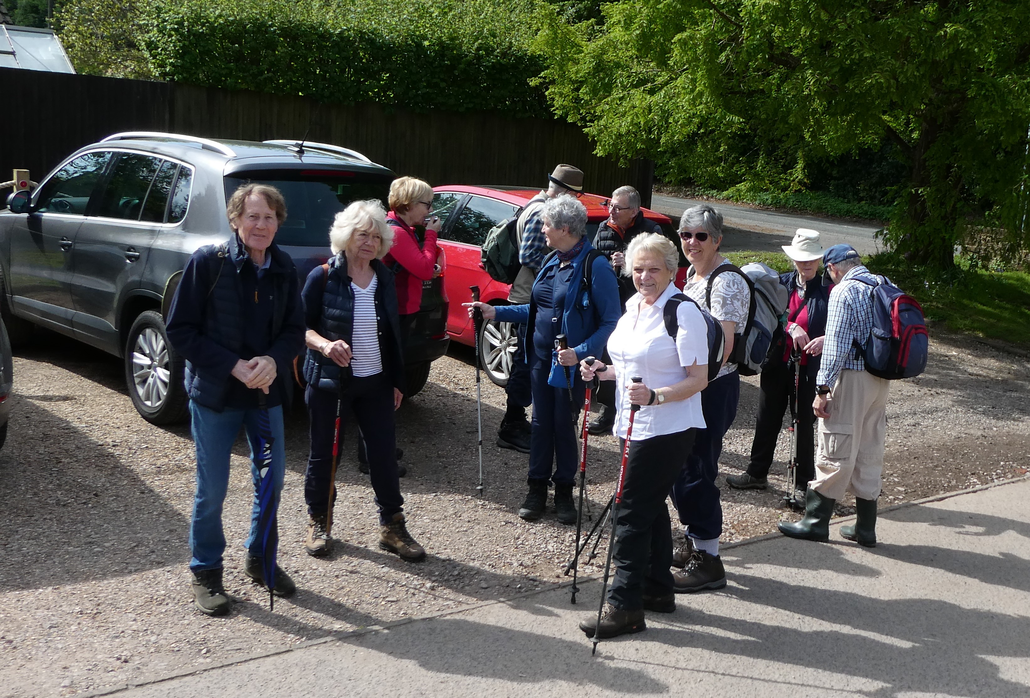
Long walkers have already departed, we're in no rush!
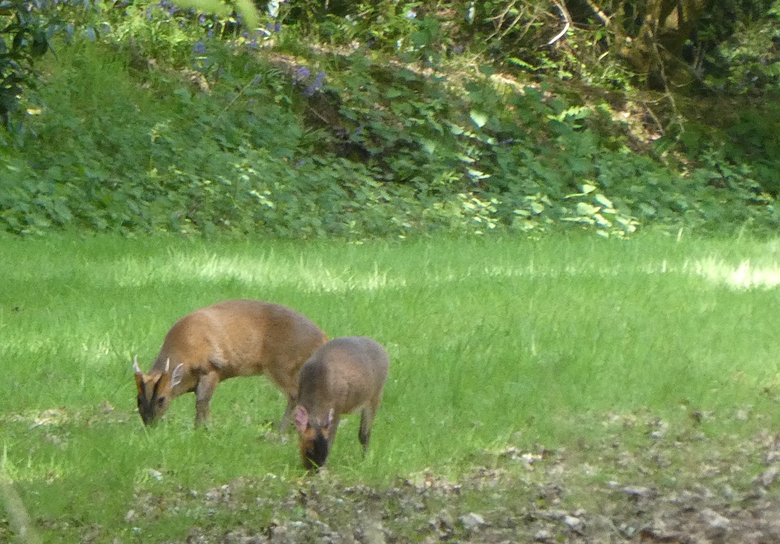
Deer spotted in the grounds of the De La Salle Brothers. History can be found on Wikipedia.
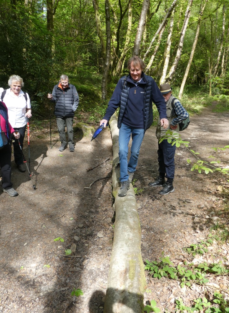
Some walkers are less unbalanced than others
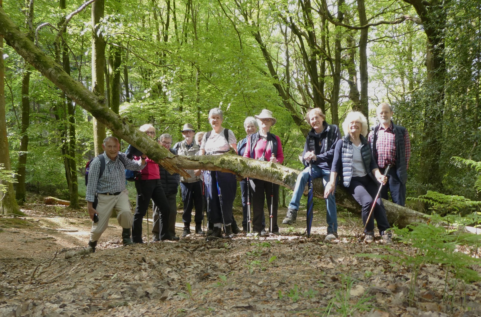
The Sussex Border path has a few obstacles along the way
Durford Wood
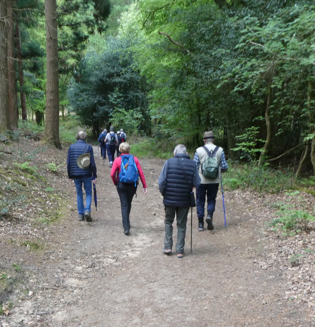
Long walkers on the march on the Sussex Border path
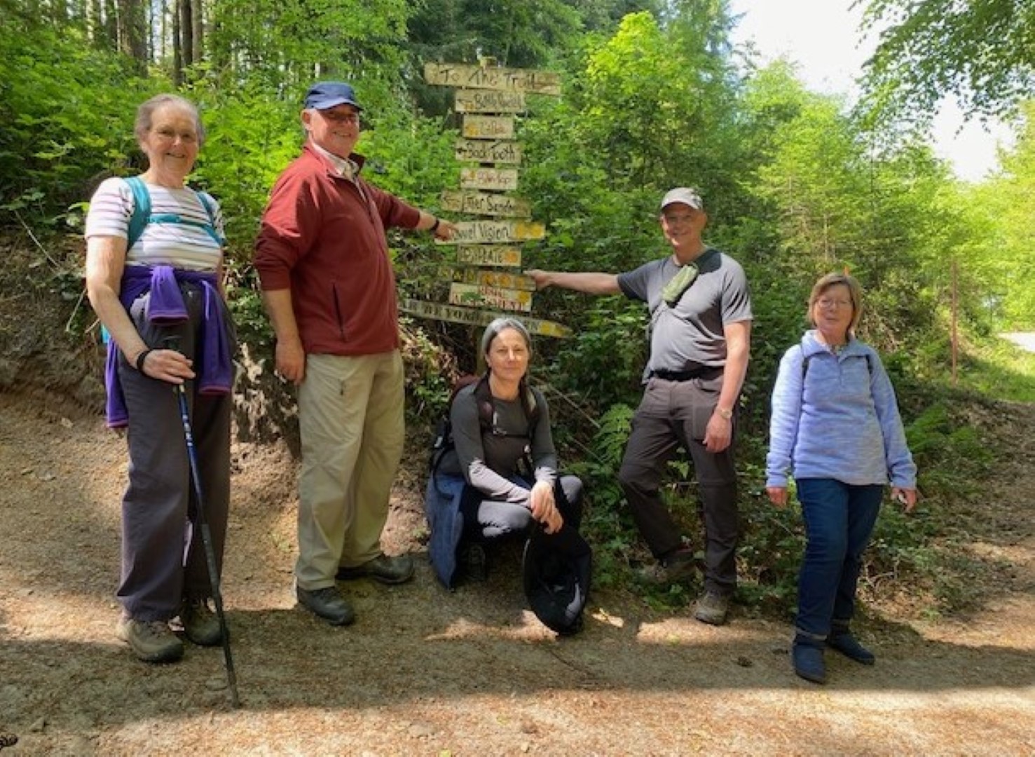
"Well, that's a shame, no-one said we're wearing blue today"
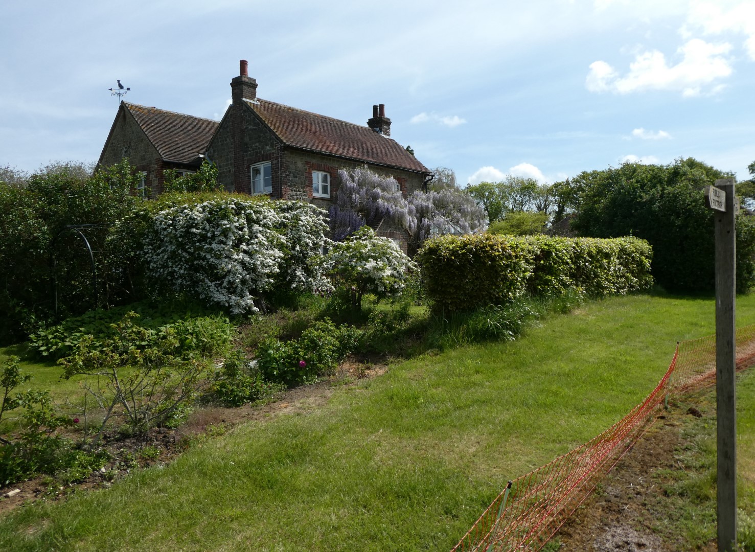
Carrols, a beautifully sited house on the hill.
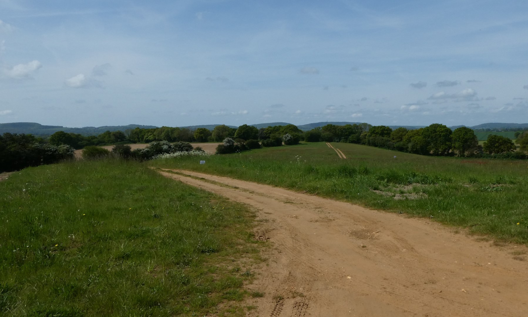
with a long. long view of the South Downs
Nice path, pity about the stile up ahead!
One stile conquered, only one more to go.
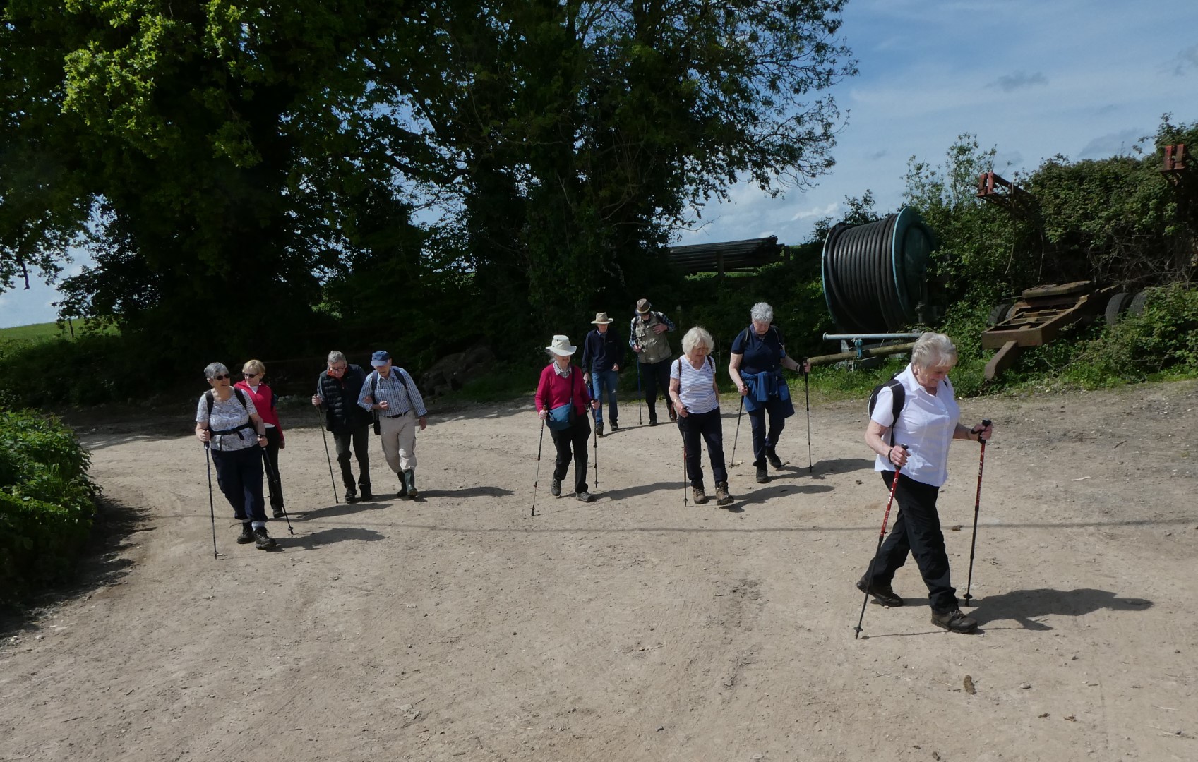
Refreshed, we're heading for the pub
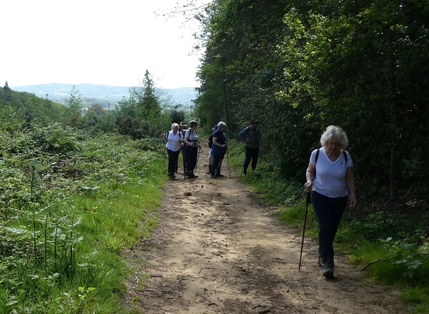
"I don't care what's going on in the hedge, I'm not looking!"
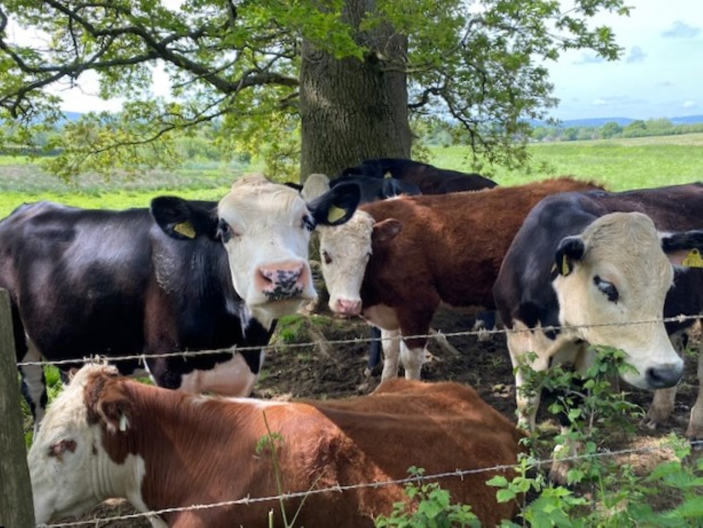
Meanwhile, the long walkers were checking out the cattle
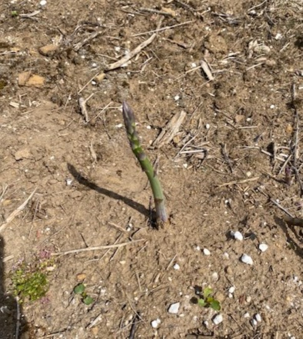
and in the Land of Asparagus, the pickers have missed this one
This could be a shot in the Himalayas or the Andes, but it's really the amazing bike jumps at Combe Hill
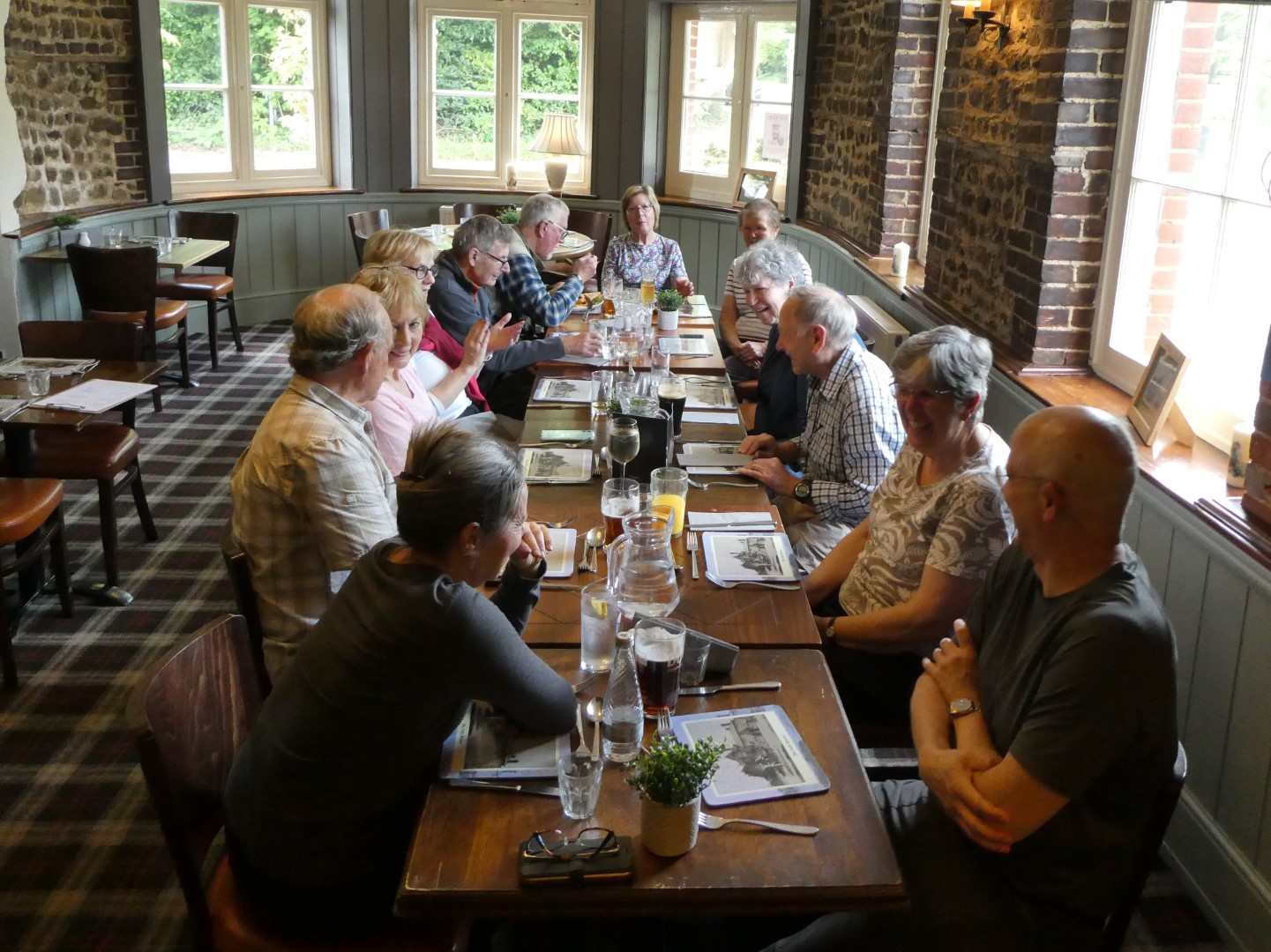
Jolly Drover at last, awaiting food.
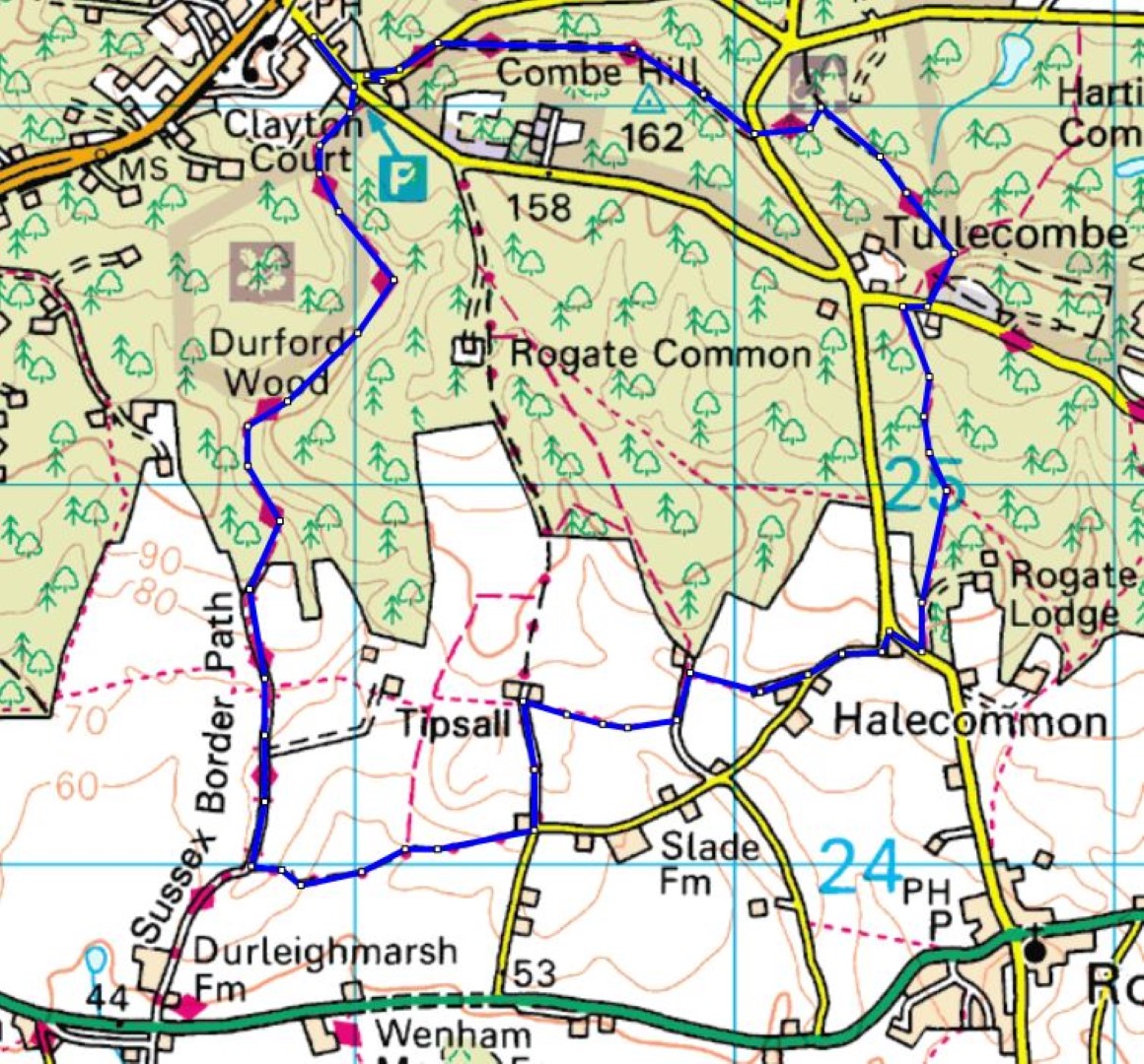
Long route, about 5.1/2 miles
Recent galleries
- Finchdean walk on 14th October 2026
- Sheet walk on 7th October 2026
- Chalton walk on 30th September 2026
- Byworth walk on 23rd september 2026
- West Itchenor walk on 16th September 2026
History
2026
- October (3)
- September (4)
- August (3)
- July (4)
- June (3)
- May (6)
- April (4)
- March (4)
- February (4)
- January (3)
2025
- December (3)
- November (4)
- October (5)
- September (4)
- August (4)
- July (5)
- June (4)
- May (5)
- April (4)
- March (5)
- February (3)
- January (4)
2024
- December (3)
- November (5)
- October (4)
- September (4)
- August (4)
- July (4)
- June (5)
- May (5)
- April (5)
- March (5)
- February (5)
- January (4)
2023
- December (3)
- November (6)
- October (5)
- September (5)
- August (3)
- July (4)
- June (6)
- May (5)
- April (4)
- March (5)
- February (4)
- January (4)
2022
- December (4)
- November (5)
- October (5)
- September (3)
- August (4)
- July (6)
- June (11)
- May (4)
- April (5)
- March (4)
- February (5)
- January (4)
2021
2020
- December (4)
- November (1)
- October (5)
- September (4)
- August (3)
- July (3)
- March (2)
- February (5)
- January (3)
2019
- December (2)
- November (5)
- October (4)
- September (3)
- August (4)
- July (4)
- June (11)
- May (5)
- April (4)
- March (3)
- February (5)
- January (5)
2018
- December (2)
- November (4)
- October (4)
- September (5)
- August (4)
- July (3)
- June (5)
- May (8)
- April (4)
- March (4)
- February (5)
- January (3)
2017
- December (3)
- November (5)
- October (3)
- September (4)
- August (4)
- July (4)
- June (11)
- May (4)
- April (4)
- March (3)
- February (4)
- January (5)
2016
- December (3)
- November (4)
- October (5)
- September (4)
- August (3)
- July (6)
- June (11)
- May (4)
- April (5)
- March (3)
- February (10)
- January (2)
2015
2014
- June (2)
1997
- February (1)