Gallery (Click on titles!)
-
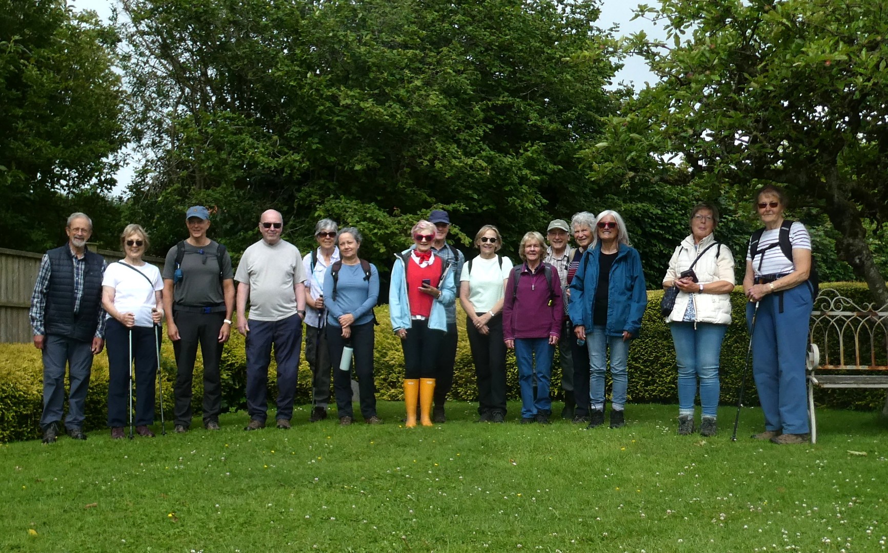
Selborne Walk on 22nd July 2026
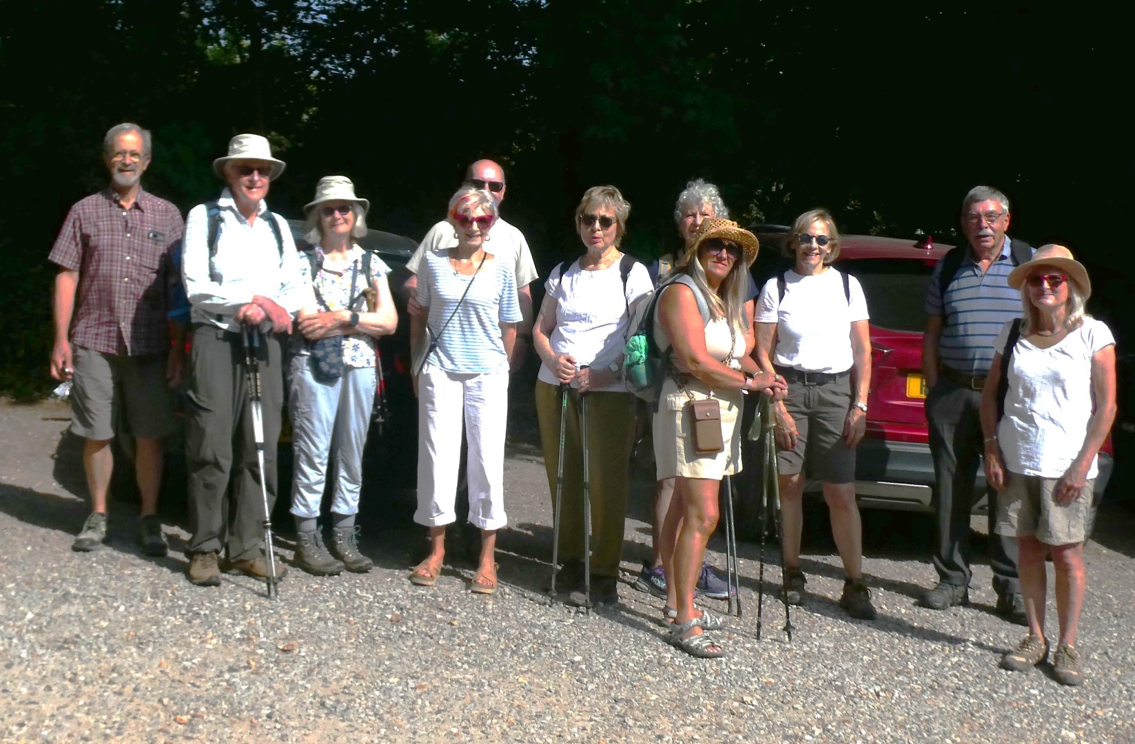
We all gathered together in the car park behind the Selborne Arms ready for Tim and Jane's walk around Selborne and to welcome guest walkers John and Jacqui. Luckily the walk didn't involve the wonderful Zig Zag path which is very much an uphill battle on a warm day! The path was originally cut by Gilbert White and his brother in 1773 to make the walk to Newton Valence a bit easier. We sensibly took the path below Selborne Hanger to reach the far end of Selborne village before cutting through Grange Farm. The footpath reached the B3006 Alton road where we paused for a water break, although the shade had been very effective at keeping away the sunlight. After crossing the road we took a footpath passing an incredible garden with hardly any room for many more flowers. It was then on to Hangers Way to find a suitable coffee stop spot. Suitably refreshed we headed for the lower edge of Combe Wood and then Priory Farm. The very shady walk back to Selborne was via the Writers Way and we were eventually permitted to walk past the Gilbert White Museum and to use their path to return to the car park. A tasty lunch was served with great efficiency in The Selborne Arms. The walk was around 4 miles.
Pagham walk on 15th July 2026
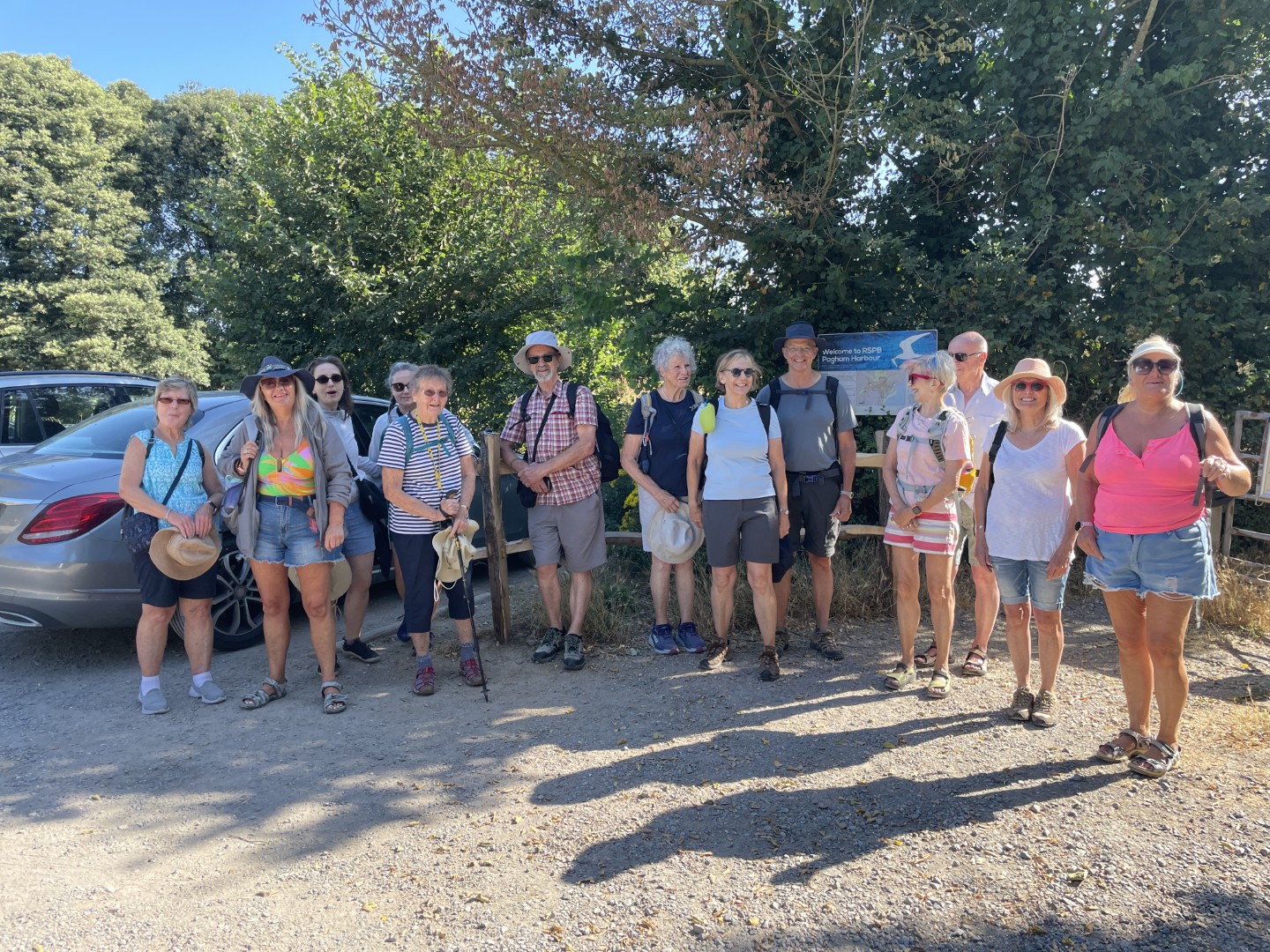
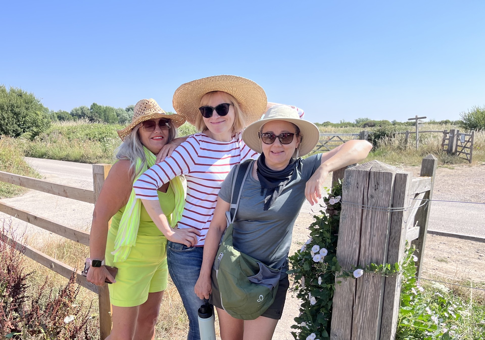
We met up earlier than normal at the RSPB car park at Church Norton next to the unconsecrated Chapel and extensive graveyard before heading off on the King Charles III coast path to the edge of the bird sanctuary. Turning right took us onto the pebble path and beach where we walked east to the spit in bright sunshine but before it got too hot. We then retraced our steps back along the beach, encountering some early sunbathers before stopping for our coffee break by the first coastal defence barrier. A couple of brave walkers had come prepared in swim suits and refreshed themselves in the sea. Continuing west past the coastal residences, some of which were repurposed old railway carriages, we headed to East Beach where we turned inland to Park Farm and onto the footpath through fields and onto Greenlease Farm to admire the collection of vehicles and talk to some drone pilots. Returning to the car park, we drove up to The Anchor Inn at Sidlesham for lunch.
Earnley on 8th July 2026
We battled our way through the Goodwood Festival of Speed build traffic to meet up at the RSPB Medmerry car park in Earnley for our 4 mile walk in the bright sunny and hot weather. None of us took up Julie’s advice to bring binoculars to view the wildlife on the bird sanctuary, but Janet surprised us with a secret swim suit. The gravel paths down to Marsh Barn and then down to the coast were level and wide which made easy walking. Approaching the Periwinkle sculpture made with a metal frame and willow branches caused some merriment as to whether the subject really had been a Periwinkle. Several photos later we dropped down onto the beach with the low tide leaving lots of sand. The swim suit made an appearance for a quick splash accompanied by some paddlers while the rest of us relaxed on the benches overlooking the beach while we enjoyed our coffee break. We headed back along the beach as the tide turned and retraced our route back to the car park. Our lunch was at the Shore Inn at East Wittering.
Kingley Vale on 1st July 2026
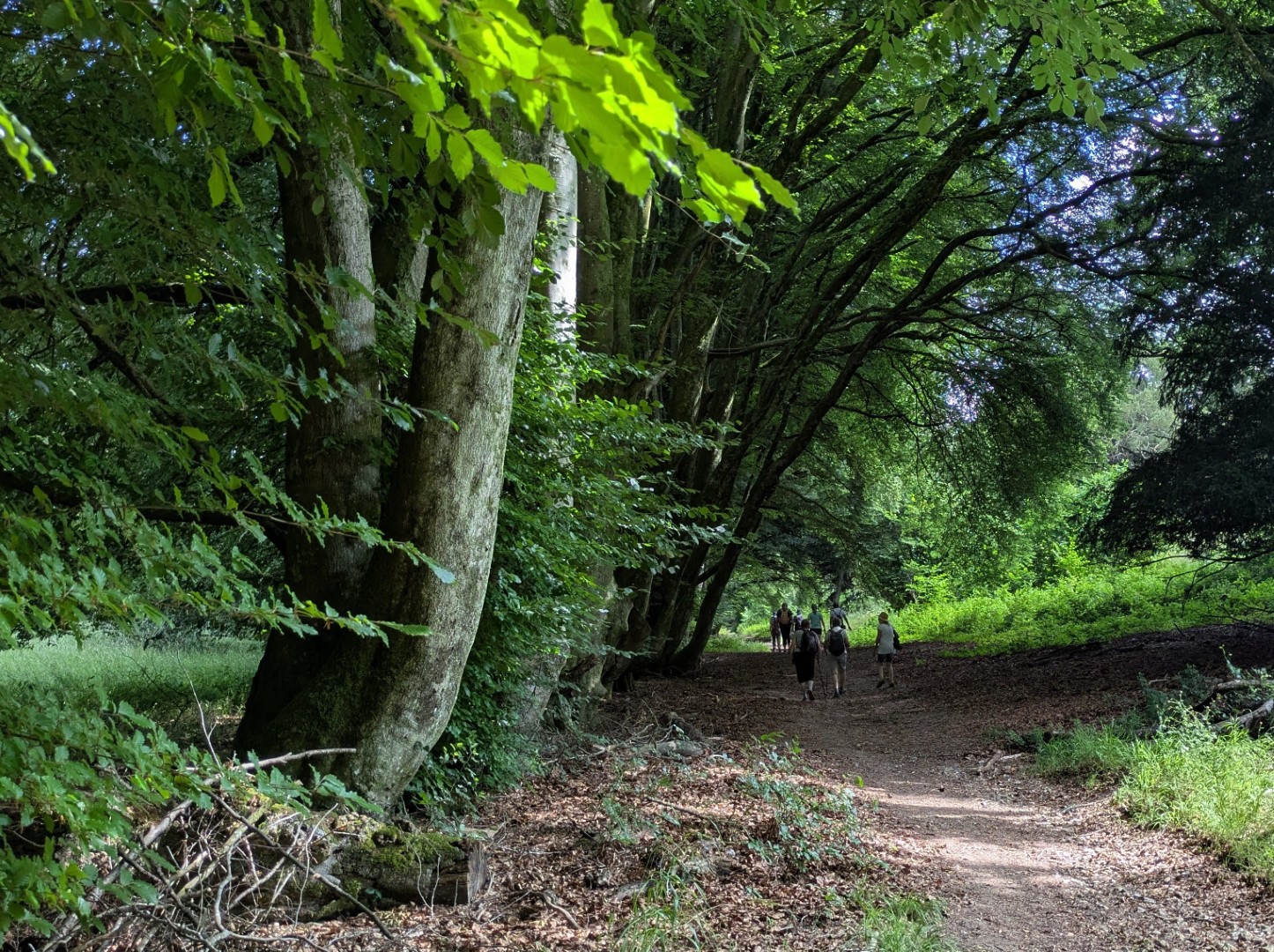
As the very hot weather that stopped the walk last week had reduced, Jay and Lindsey had a walk ready for us to explore, mostly in the shade. Starting from the car park at the bottom of Lambdown Hill we walked just over a mile, mostly uphill, to get to Chilgrove Hill. Turning south we walked along to Blackbush House where we found a very suitable coffee stop with plenty of seating amongst the yews of Kingley Vale. Suitably refreshed we headed for Bow Hill and then for the Devils Humps. The Devils Humps are examples of burial mounds (or barrows) that are right across the Downs. Many were used for burials for centuries and were also probably places of worship. Rumour has it that each yew tree in the area marks the grave of a Viking warrior but more likely the area is just the right soil and conditions for this plant to be successful! In contrast with the ancient burial sites, these yew trees are amongst the oldest living things in Great Britain. After admiring the views from the hill top we turned north east to make a slow descent around Lambdown Hill to our parked cars and from there we drove to the Hare and Hounds where we had a delicious lunch.
Elsted walk on 17th June 2026
It was a potentially a rainy day but we survived the morning without getting wet (apart from our boots!). However it was quite humid. Tim and Jane's walk started out from The Three Horseshoes in Elsted and headed east past Gravatts and Newhouse Farm before dropping south towards Didling. Finding some large logs we managed to find almost enough seats for everybody at our drinks stop. From there we could see Didling Church. St Andrews, Didling, is known as the Shepherds Church as it lies on the ancient drovers track over the South Downs and was probably rebuilt around the 13th Century, another of the Downland Churches still very unspoilt. After passing through Manor Farm we headed for Treyford. Once in Treyford we saw, through thick vegetation, the remains of the 13th Century church of St Mary, declared redundant in 1986. We then passed through Woolbeding Farms and headed west for half a mile through farmlands with crops (mostly broad beans!) filling the space between us and the steep hill that is Harting Down. Eventually turning north we made our way back to The Three Horseshoes where we eventually enjoyed some very pleasant food.
Recent galleries
- Selborne Walk on 22nd July 2026
- Pagham walk on 15th July 2026
- Earnley on 8th July 2026
- Kingley Vale on 1st July 2026
- Elsted walk on 17th June 2026
History
2026
2025
- December (3)
- November (4)
- October (5)
- September (4)
- August (4)
- July (5)
- June (4)
- May (5)
- April (4)
- March (5)
- February (3)
- January (4)
2024
- December (3)
- November (5)
- October (4)
- September (4)
- August (4)
- July (4)
- June (5)
- May (5)
- April (5)
- March (5)
- February (5)
- January (4)
2023
- December (3)
- November (6)
- October (5)
- September (5)
- August (3)
- July (4)
- June (6)
- May (5)
- April (4)
- March (5)
- February (4)
- January (4)
2022
- December (4)
- November (5)
- October (5)
- September (3)
- August (4)
- July (6)
- June (11)
- May (4)
- April (5)
- March (4)
- February (5)
- January (4)
2021
2020
- December (4)
- November (1)
- October (5)
- September (4)
- August (3)
- July (3)
- March (2)
- February (5)
- January (3)
2019
- December (2)
- November (5)
- October (4)
- September (3)
- August (4)
- July (4)
- June (11)
- May (5)
- April (4)
- March (3)
- February (5)
- January (5)
2018
- December (2)
- November (4)
- October (4)
- September (5)
- August (4)
- July (3)
- June (5)
- May (8)
- April (4)
- March (4)
- February (5)
- January (3)
2017
- December (3)
- November (5)
- October (3)
- September (4)
- August (4)
- July (4)
- June (11)
- May (4)
- April (4)
- March (3)
- February (4)
- January (5)
2016
- December (3)
- November (4)
- October (5)
- September (4)
- August (3)
- July (6)
- June (11)
- May (4)
- April (5)
- March (3)
- February (10)
- January (2)
2015
2014
- June (2)
1997
- February (1)